Beaver Meadow PFAR
Total Miles
3.5
Technical Rating
Best Time
Spring, Summer, Fall, Winter
Trail Type
Full-Width Road
Accessible By
Trail Overview
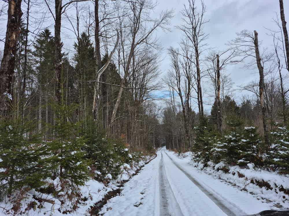
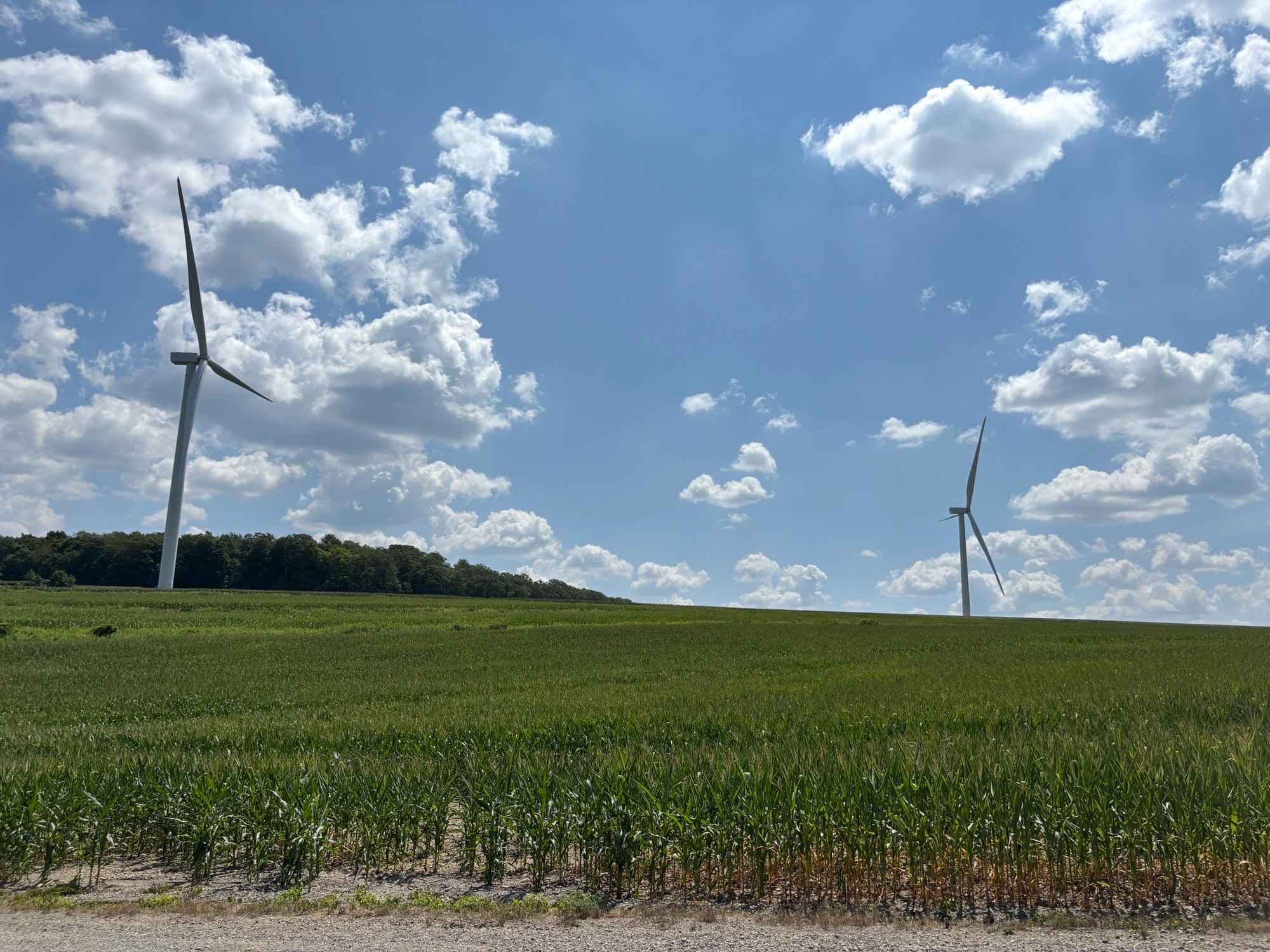
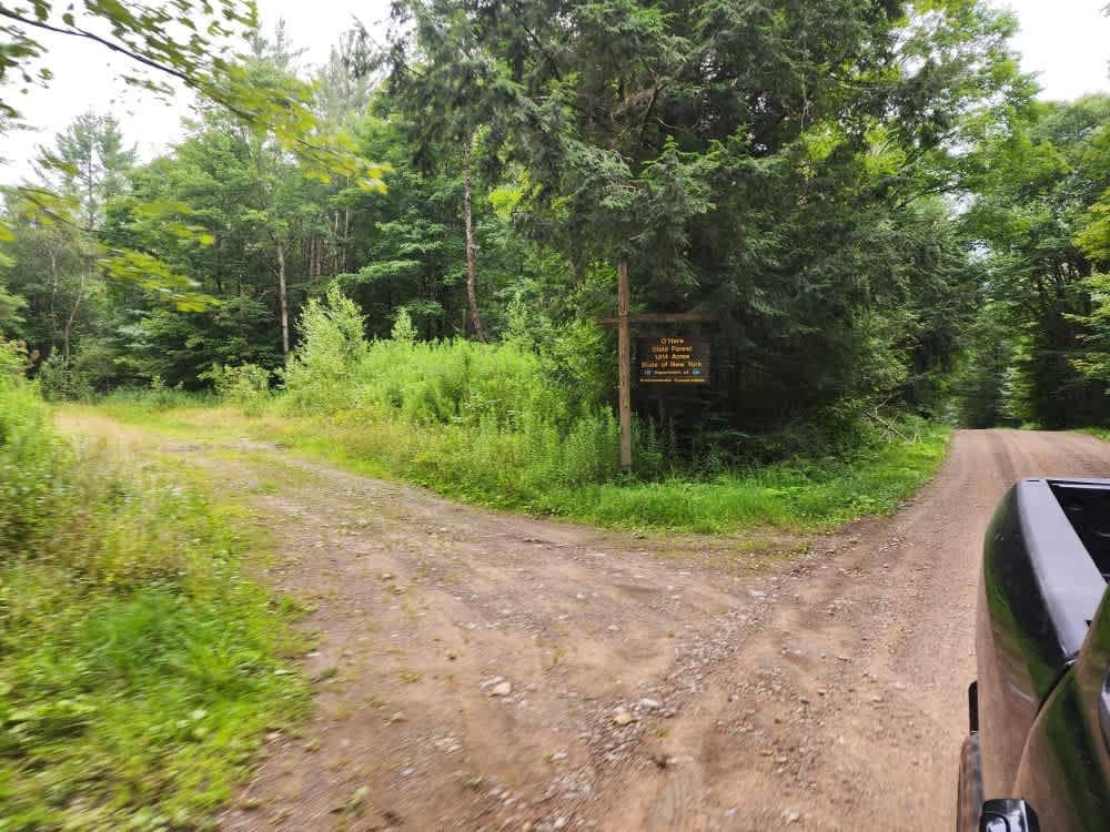
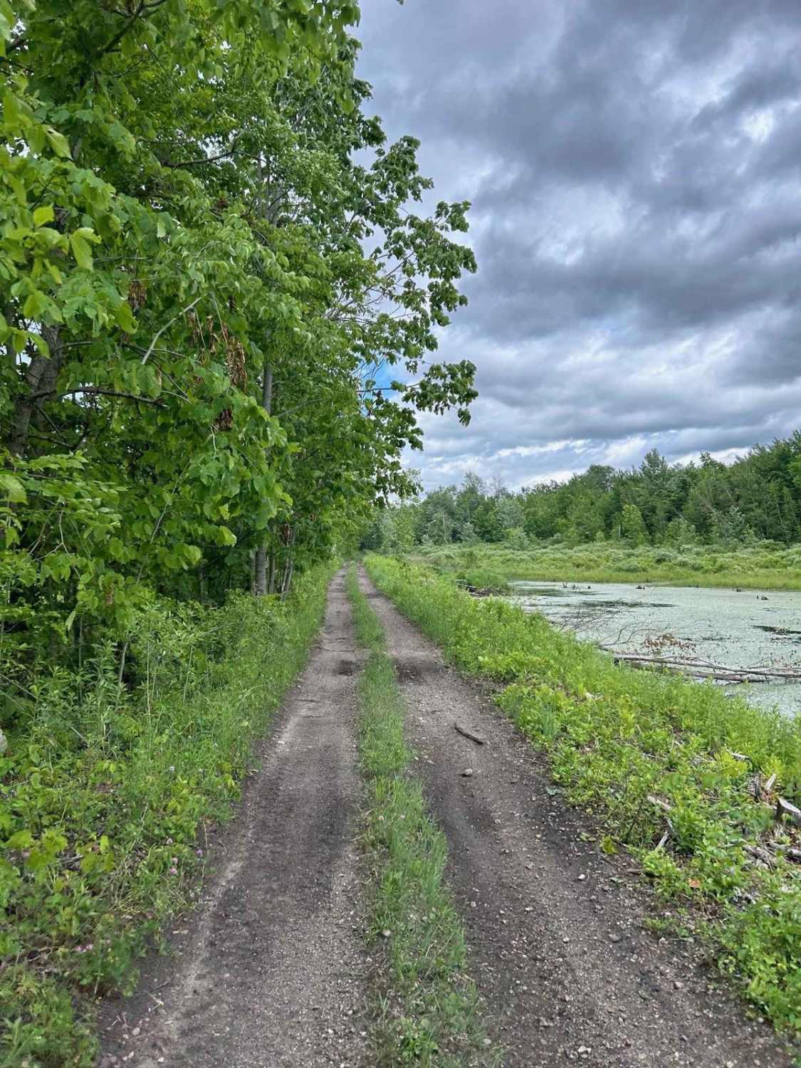
Follow this trail through the Beaver Meadow state forest, where you will find a variety of terrain. I suggest approaching it from the north side, where you will drive over rolling hills and down to a fairly substantial pond, which is privately owned. Once you get behind that pond, you will enter a world of towering pines, small creeks, and a few challenging uphill climbs before reaching the end.
Photos of Beaver Meadow PFAR

Difficulty
Depending largely on the time of year you drive this trail, you will encounter anything from downed trees to icy puddles and sometimes a stream running down the side of the trail, which in the winter can be very icy. Slow and steady is the rule of the day.
Status Reports
Beaver Meadow PFAR can be accessed by the following ride types:
- High-Clearance 4x4
- SUV
Beaver Meadow PFAR Map
Popular Trails

South Gate Road
North Lawrence to Brushton
The onX Offroad Difference
onX Offroad combines trail photos, descriptions, difficulty ratings, width restrictions, seasonality, and more in a user-friendly interface. Available on all devices, with offline access and full compatibility with CarPlay and Android Auto. Discover what you’re missing today!