Windmill Way
Total Miles
6.4
Technical Rating
Best Time
Spring, Summer, Fall, Winter
Trail Type
Full-Width Road
Accessible By
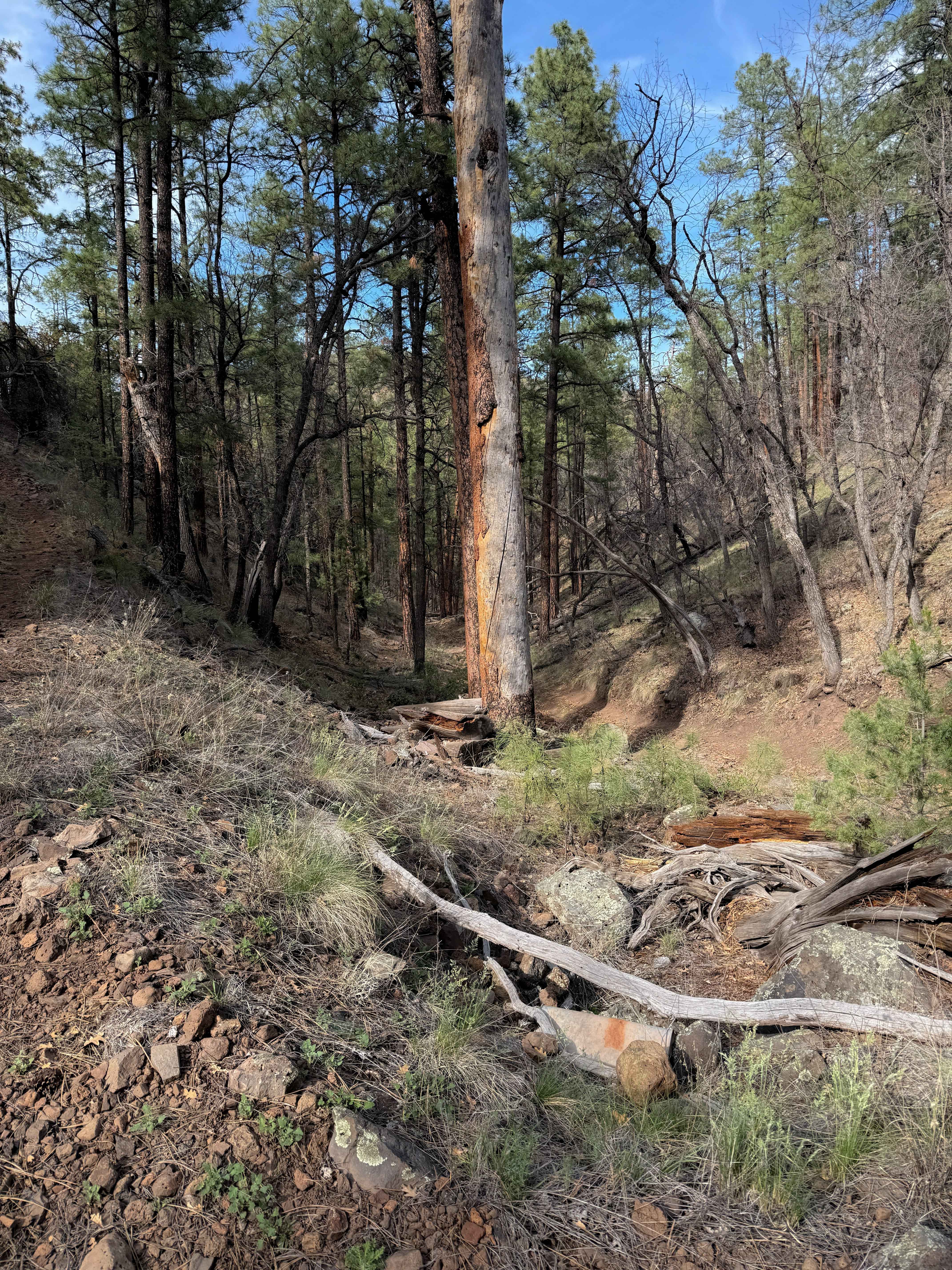
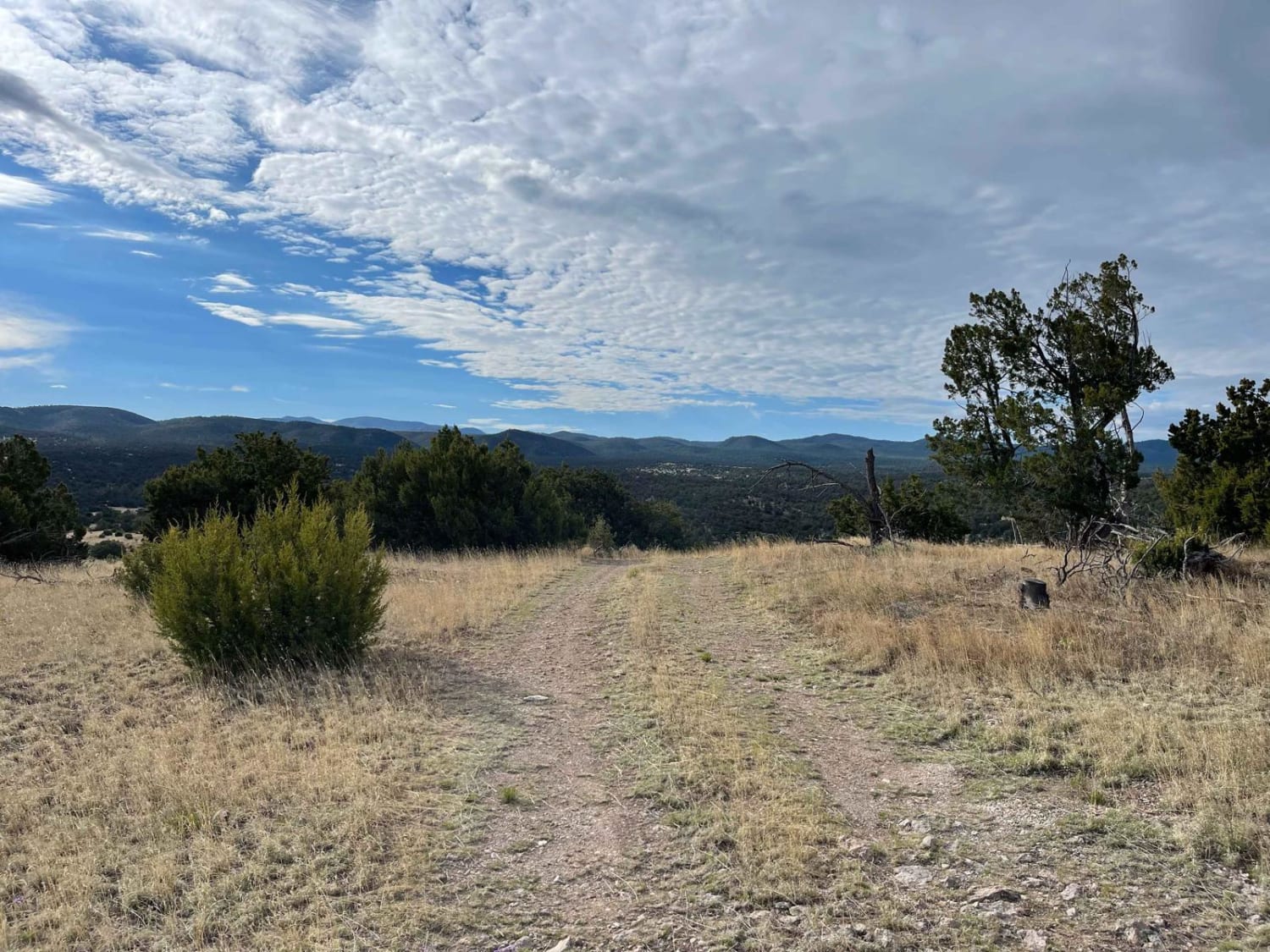
Trail Overview
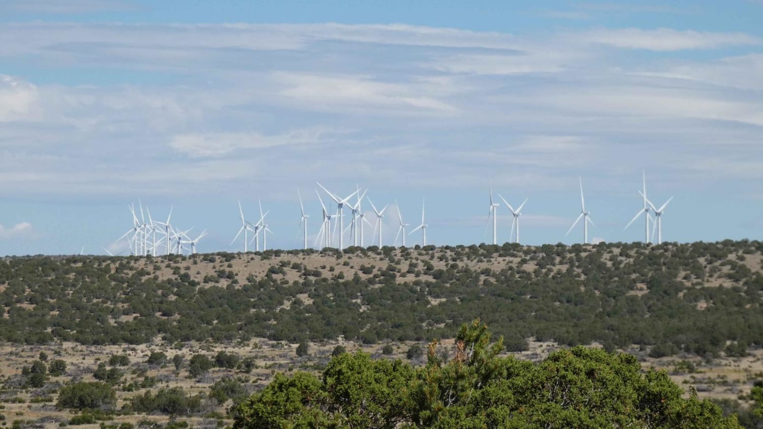
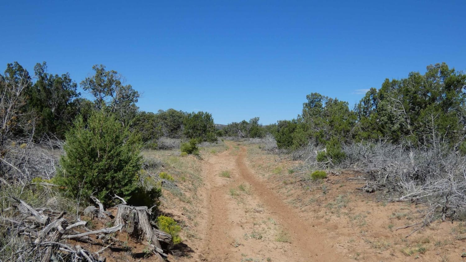
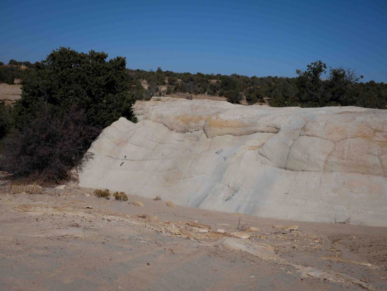
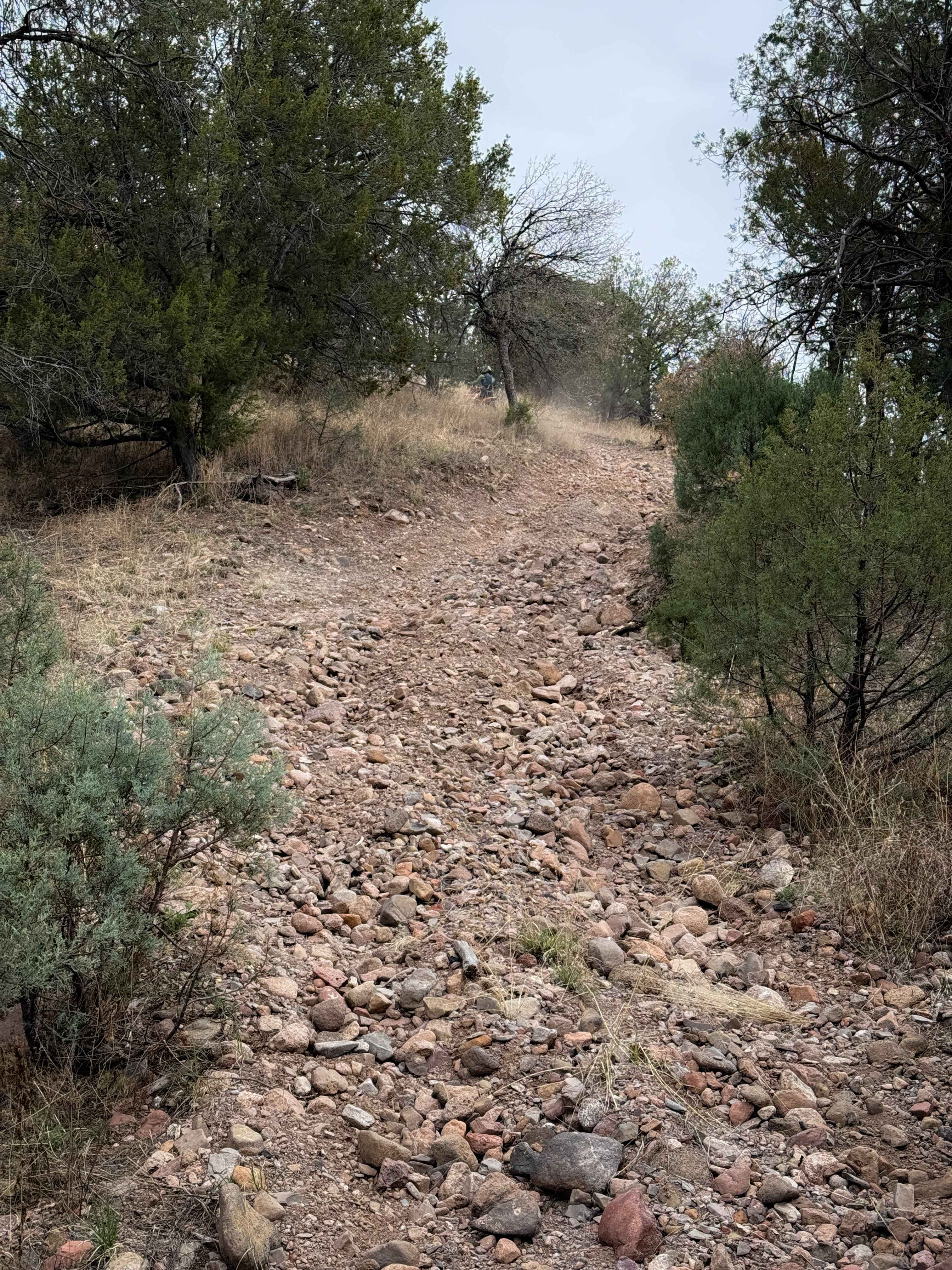
Windmill Way has a decent variety of terrain along its route. Composed of a combination of soft sand, dirt, and rocks, the trail winds its way to the southwest giving views of the surrounding mountains and a plateau to the north full of wind turbines. There are no obstacles larger than 10 inches along the route, but the soft sand sections may be difficult for any vehicles that are not AWD or 4WD. There is one small rock garden with the rest of the trail being a combination of sand and dirt. While the trail is primarily flat and easy to traverse, it does provide a very quiet and secluded area to explore. The trail intersects a few other trails in the area where drivers can continue on in just about any direction. This intersection is just to the north of a large livestock tank and windmill. Cattle are present in the area, along with other wildlife such as coyotes, elk, and deer. Cell service is strong in this entire area with the exception of some low-lying sections where it becomes weaker. Weather can change quickly in the region and the trails in the area become very soft and muddy after rain. Dispersed camping is not permitted along this trail, however, those wanting to camp can take an immediate turn to the northwest onto Clarion Course and camp within the first 2 miles of the track, or continue to the southeast along the Sandwash trail where dispersed camping is permitted in the last 0.7 miles. Windmill Way is a combination of FS-142 and FS-142x (FS-142xOLD) with a small portion cutting through a private land tract. There are some unmarked hiking paths in the area, however, several of the two-track motorized spurs in the area are no longer listed on the MVUM and are closed via the USFS with the exception of FS-533 at the northern portion of Windmill Way.
Photos of Windmill Way
Difficulty
Drivers will encounter several sections of soft sand that will be difficult for any vehicles that are not AWD or 4WD. There is one smaller rock garden, but no obstacles larger than 10 inches. The trail will be soft and muddy after rain or snow melt.
Status Reports
Windmill Way can be accessed by the following ride types:
- High-Clearance 4x4
- SUV
- SxS (60")
- ATV (50")
- Dirt Bike
Windmill Way Map
Popular Trails
Cibola Overlook
The onX Offroad Difference
onX Offroad combines trail photos, descriptions, difficulty ratings, width restrictions, seasonality, and more in a user-friendly interface. Available on all devices, with offline access and full compatibility with CarPlay and Android Auto. Discover what you’re missing today!