Lick Ridge
Total Miles
8.3
Technical Rating
Best Time
Spring, Summer, Fall, Winter
Trail Type
Full-Width Road
Accessible By
Trail Overview
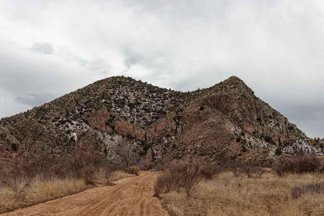
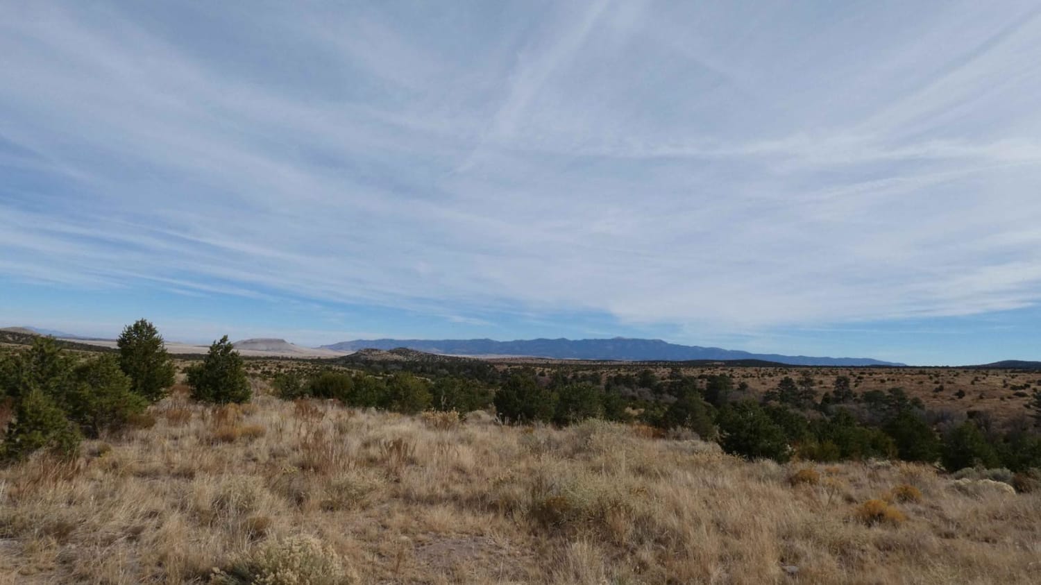
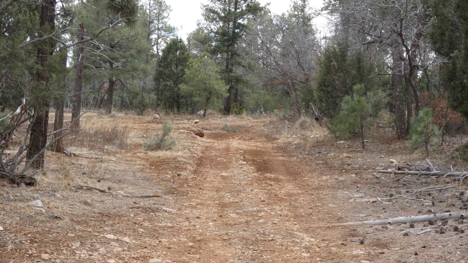
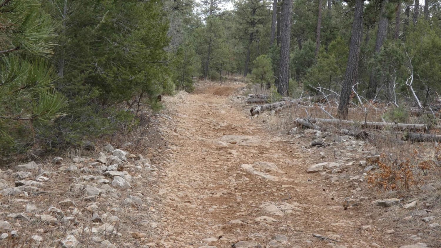
Lick Ridge is located at the southernmost region of the Sacramento Mountain range in Lincoln National Forest, has a wide range of features that most 4x4 vehicles will handle, and is a great trail for all off-roaders from beginner to experienced. The trail does feature some dispersed campsites, but foliage through most of the trail is too heavy to disperse camp. The trail is a combination of dirt and rocks, with some areas having larger rock gardens and obstacles some being in excess of 14 inches with minimal line choice. There are portions of the trail that are slightly off-camber with light rutting and some mud. Downed trees are frequent and need to be cleared as there is no room to traverse around them, be prepared with the appropriate equipment necessary. There are multiple hiking trails throughout that spur off the motorized trail, most of which are labeled with NFS signage. Some slopes and inclines may be slippery after rain or snow, and there are portions of the trail that may offer shallow water crossings. Signs of heavy washout are present on one portion of the trail and make the trail track single-vehicle-wide with no room to pass. The rest of the trail is primarily single-vehicle wide with little room to pass and some overgrowth is present and impedes the trail making it very narrow in some sections. Views are limited in the area due to heavy trees and there is no cell service. The trail ends at FS183 and connects to multiple FS roads in the area, many of which are not labeled or lead to private land. Plan an exit route ahead or run Lick Ridge as an out and back for more adventure.
Photos of Lick Ridge
Difficulty
Rock gardens and steps with obstacles in excess of 14". You'll find off-camber sections, and light grades on slopes and inclines.
Status Reports
Lick Ridge can be accessed by the following ride types:
- High-Clearance 4x4
- SUV
- SxS (60")
- ATV (50")
- Dirt Bike
Lick Ridge Map
Popular Trails

Saddle Rock Canyon Rd

Corral Jumper

Bone Crusher

Little Rosa Base
The onX Offroad Difference
onX Offroad combines trail photos, descriptions, difficulty ratings, width restrictions, seasonality, and more in a user-friendly interface. Available on all devices, with offline access and full compatibility with CarPlay and Android Auto. Discover what you’re missing today!

