Jacquez Canyon Road
Total Miles
13.6
Technical Rating
Best Time
Spring, Summer, Fall, Winter
Trail Type
Full-Width Road
Accessible By
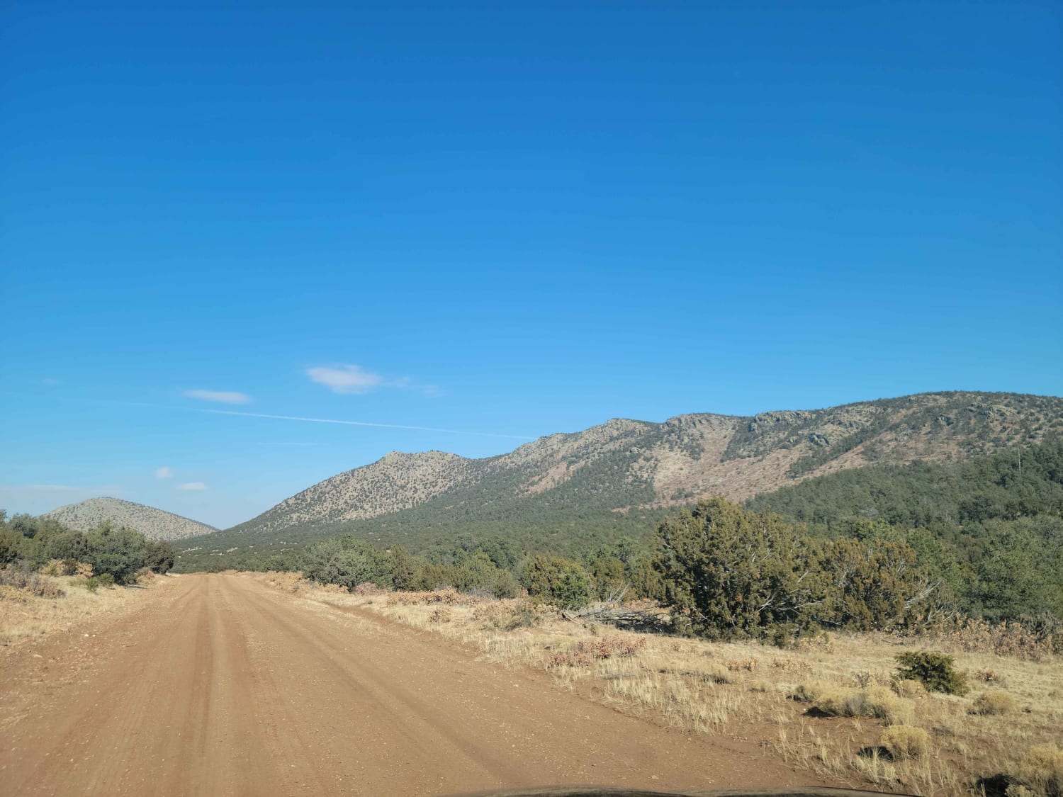
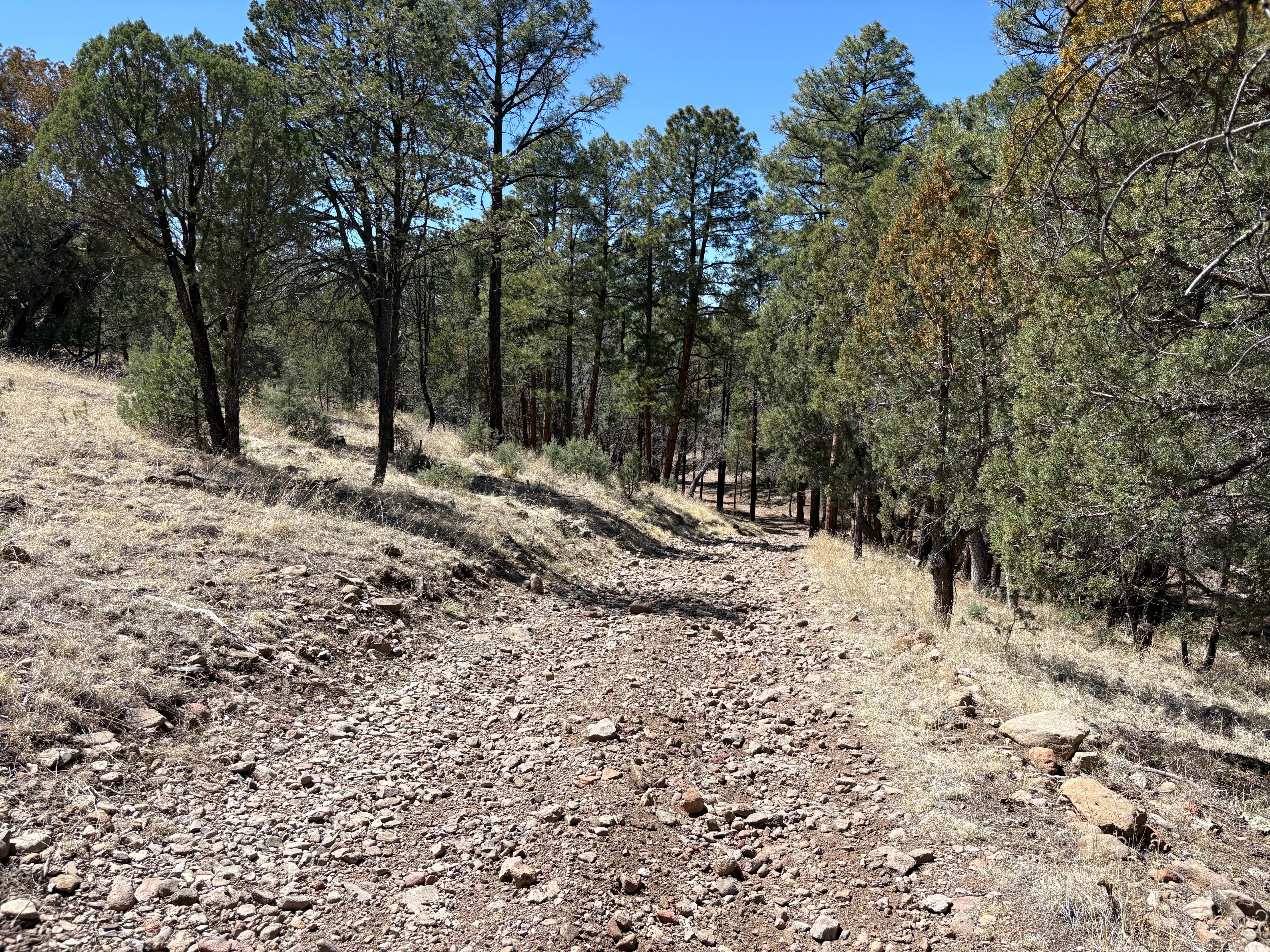
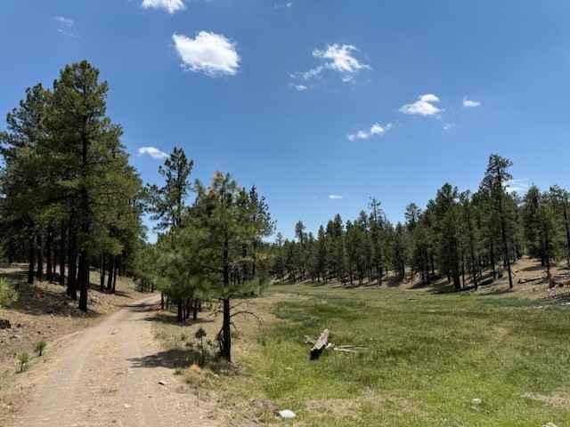
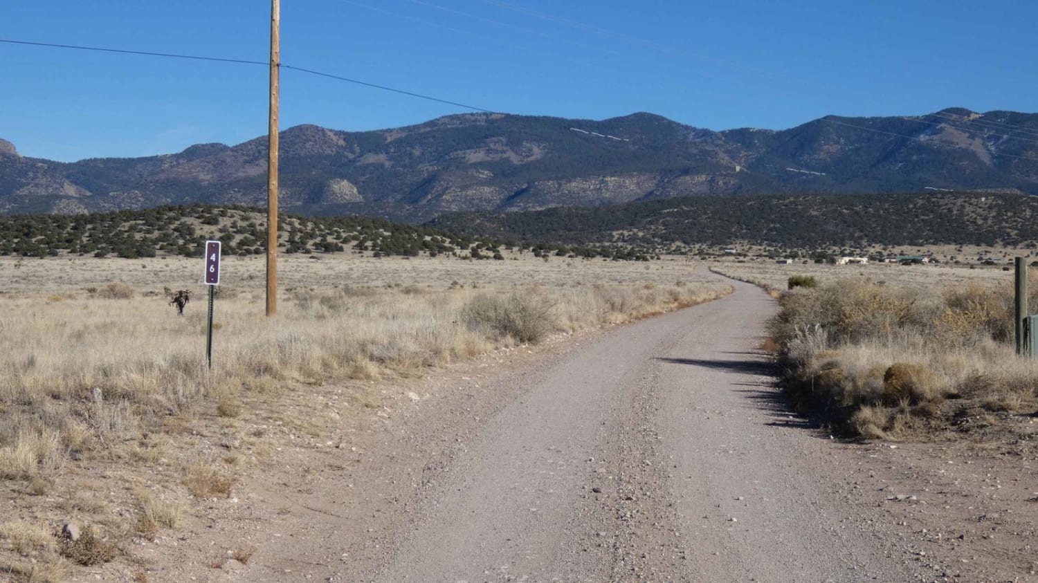
Trail Overview
This trail is a mixed-use oil and ranching road that runs between Route 550 and Road 7007. It offers relatively rapid access to the trails that zig-zag between Angel's Edge and Largo Canyon. From 550, the trail starts as a clay-based, deeply rutted road that cuts across the open, high desert grasslands just south of Angel Peak badlands. Sweeping panoramic views of the mesas surrounding Largo and Crow Canyons give way to rock garden-like rock formations and sandy wash crossings as the road drops down into Jacquez Canyon.
Photos of Jacquez Canyon Road


Difficulty
Most of this trail would be ranked a 1, however the abrupt nature and narrowness of some of the wash crossings push it to an easy 2. Adverse weather would increase the difficulty substantially, and sufficient amounts of water in the washes may render the road impassable.
Jacquez Canyon Road can be accessed by the following ride types:
- High-Clearance 4x4
- SUV
- SxS (60")
- ATV (50")
- Dirt Bike
Jacquez Canyon Road Map
Popular Trails
Cougar Mountain Road
Lincoln Canyon Road - FS 4079T
Rock Spring
The onX Offroad Difference
onX Offroad combines trail photos, descriptions, difficulty ratings, width restrictions, seasonality, and more in a user-friendly interface. Available on all devices, with offline access and full compatibility with CarPlay and Android Auto. Discover what you’re missing today!