Hoodoos and Calderas
Total Miles
29.3
Technical Rating
Best Time
Spring, Summer, Fall
Trail Type
Full-Width Road
Accessible By
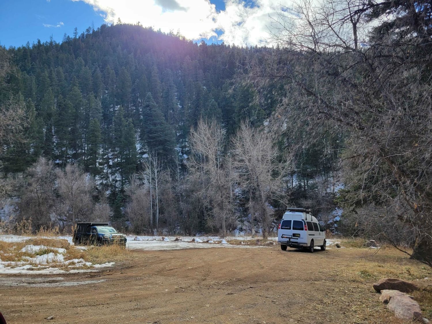
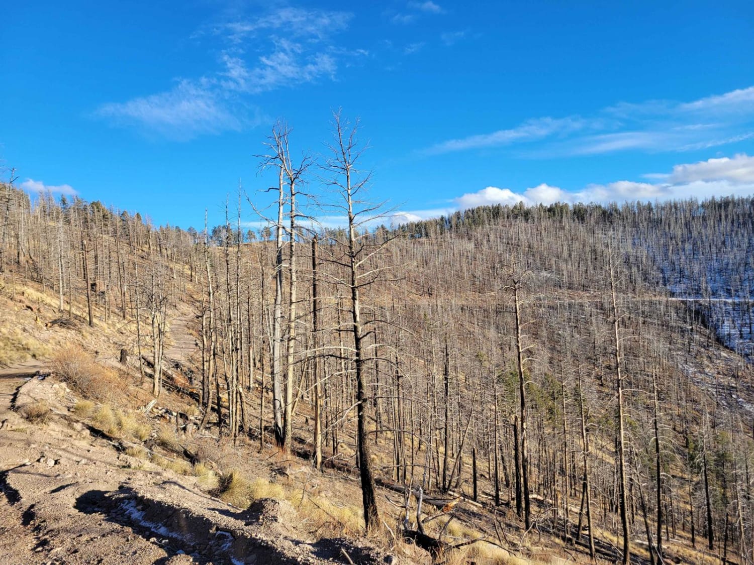
Trail Overview
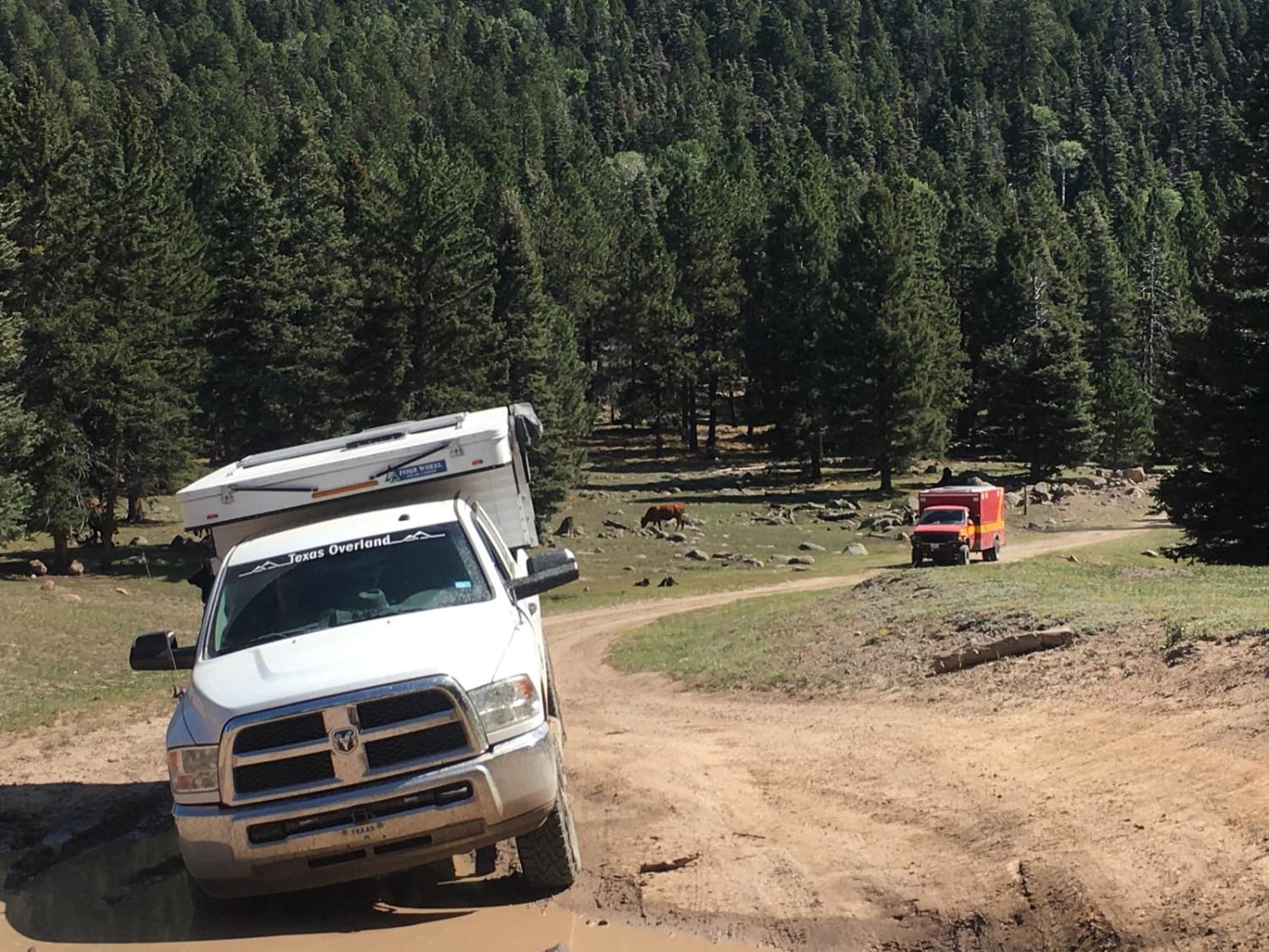
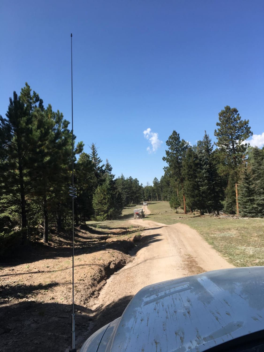
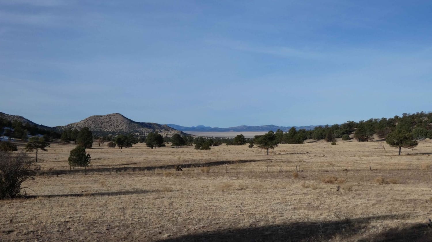
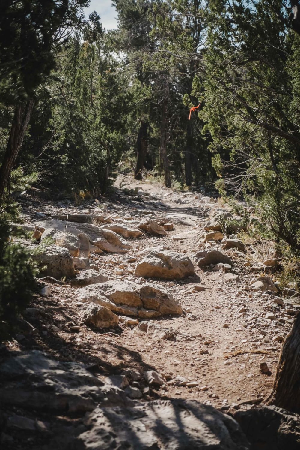
The Jemez Mountains hold a very unique feature know as the Valle Caldera. This area lays on a volcanic field that has created the ever-changing landscape. Natural hot springs are abundant and available for soak sessions. With the pyroclastic flow and erosion, there are groups of tent rocks in the region. One area of these features can be viewed from above on this route. The average elevation along this run is 9100' with a low of 8266' and a high of 10,234'. There is a short 2 mile section of rock garden road that can restrict some vehicles that choose the wrong line. To capture the view of the Caldera from an impressive campsite, a series of 36" and greater wash outs will need to be overcome. Experience is recommended here to not incur body damage on the vehicle. Further south of the Hoodoos on FS 376, are a set of vehicular tunnels, Gilman Cut, even more history to be ingested around the tunnels.
Photos of Hoodoos and Calderas
Difficulty
The technical section is only 0.5 miles while the rest of the road is hard pack rock base.
Status Reports
Hoodoos and Calderas can be accessed by the following ride types:
- High-Clearance 4x4
- SUV
Hoodoos and Calderas Map
Popular Trails
Gallinas Palisade
Coyote Split
Dalton Canyon
Tower Peak via Rosedale Road
The onX Offroad Difference
onX Offroad combines trail photos, descriptions, difficulty ratings, width restrictions, seasonality, and more in a user-friendly interface. Available on all devices, with offline access and full compatibility with CarPlay and Android Auto. Discover what you’re missing today!