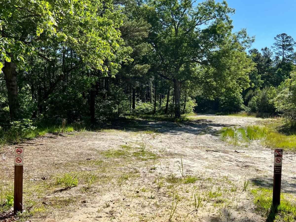
Trail Overview
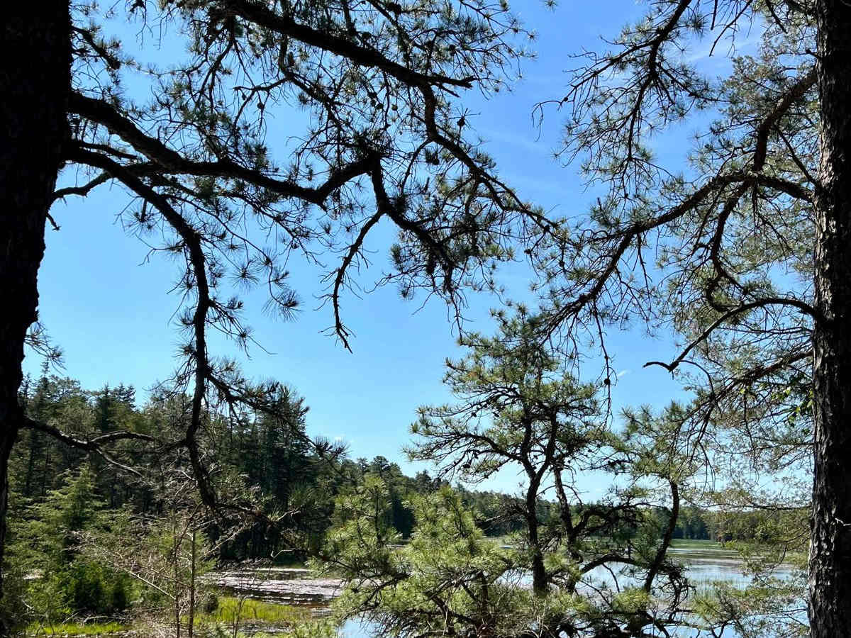
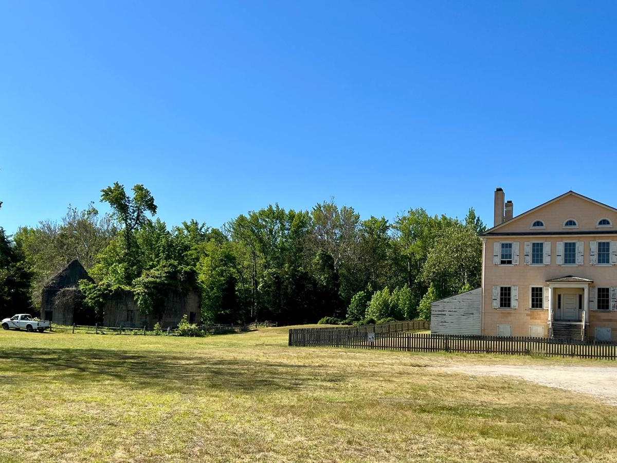
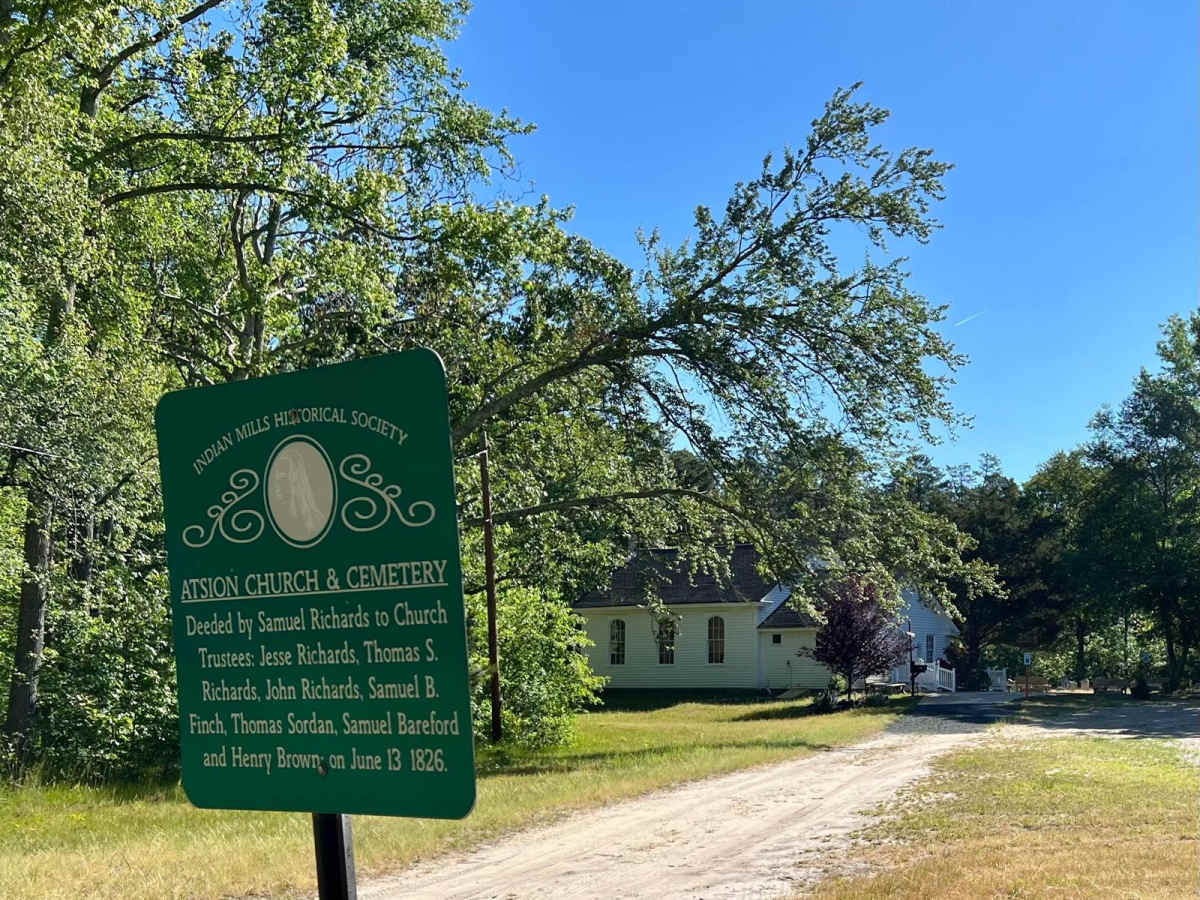
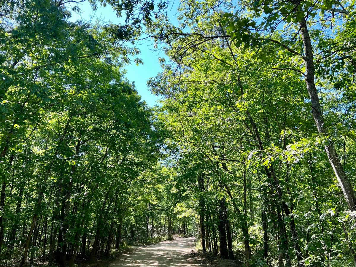
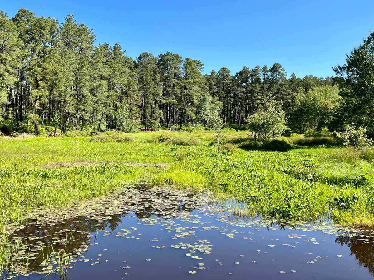
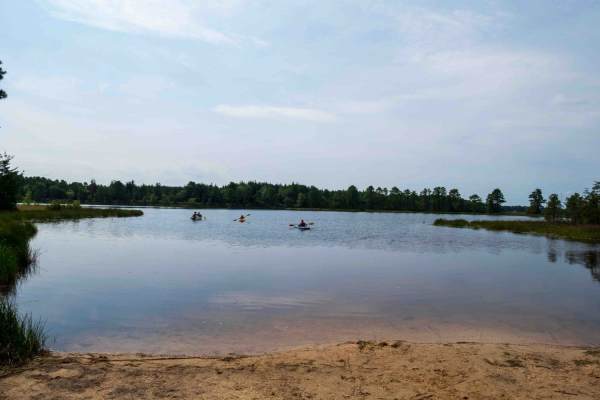
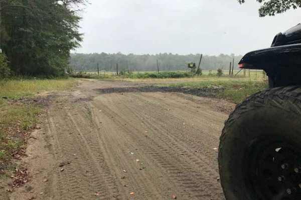
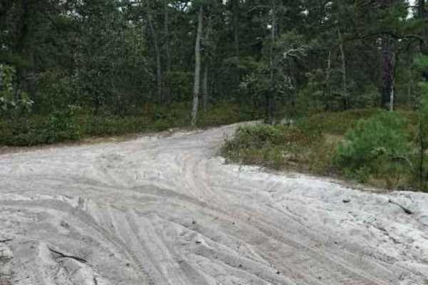
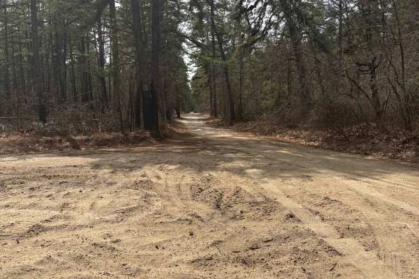
A nice trip in the Pine Barrens with some opportunities to stop along the Batsto River and Batsto Lake. The route can be run either north to south, Atsion to Batsto, or south to north, Batsto to Atsion. Both ends of the trip have relatively large unpaved parking areas to meet friends or attend to vehicles. The northern part of Quaker Bridge Road is largely packed with sand/gravel and is typically easy regardless of the recent weather. It is also relatively smooth and wide (two vehicles can pass without much issue). Once on Batsto River Rd, the trail is more uneven, and if it's been wet recently, more opportunities for large puddles that likely have soft, rutted bottoms. Batsto River Road is also more narrow. It's unlikely that pin striping will occur, but if another vehicle is met, somebody has to back up to one of the spots where passing is possible. You should refrain from pulling into the vegetation. For much of the southern end, the trail runs close to the Batsto River and the Batsto Lake offering some views, places to pull out and have a picnic, and places to canoe or kayak. Please do not pull vehicles onto the river banks. Other than the river, points of interest include Atsion Mansion at the northern end, Atsion Church & Cemetery, and historic Batsto Village just to the east of the southern terminus of the trail.
Difficulty
When dry, this trail can be negotiated with 2WD, though AT or MT tires and high clearance are recommended. When wet, enter puddles at your own risk and be prepared to recover from very sticky mud. There are generally good winch points and if it doubts, take the bypass for the large puddles. If one exists, you can assume at times it becomes a mud hole. Note that full-size pickups may find the bypasses very narrow. Expect intermittent cell service throughout.