Weiser Valley - Lunch Spot
Total Miles
14.7
Technical Rating
Best Time
Spring, Fall, Winter
Trail Type
Full-Width Road
Accessible By
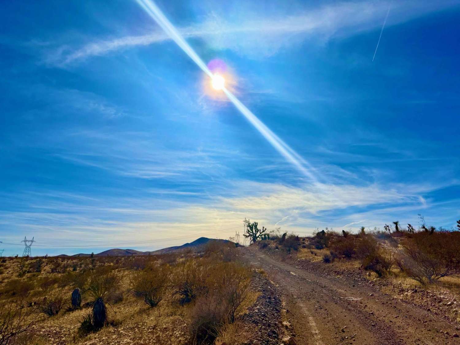
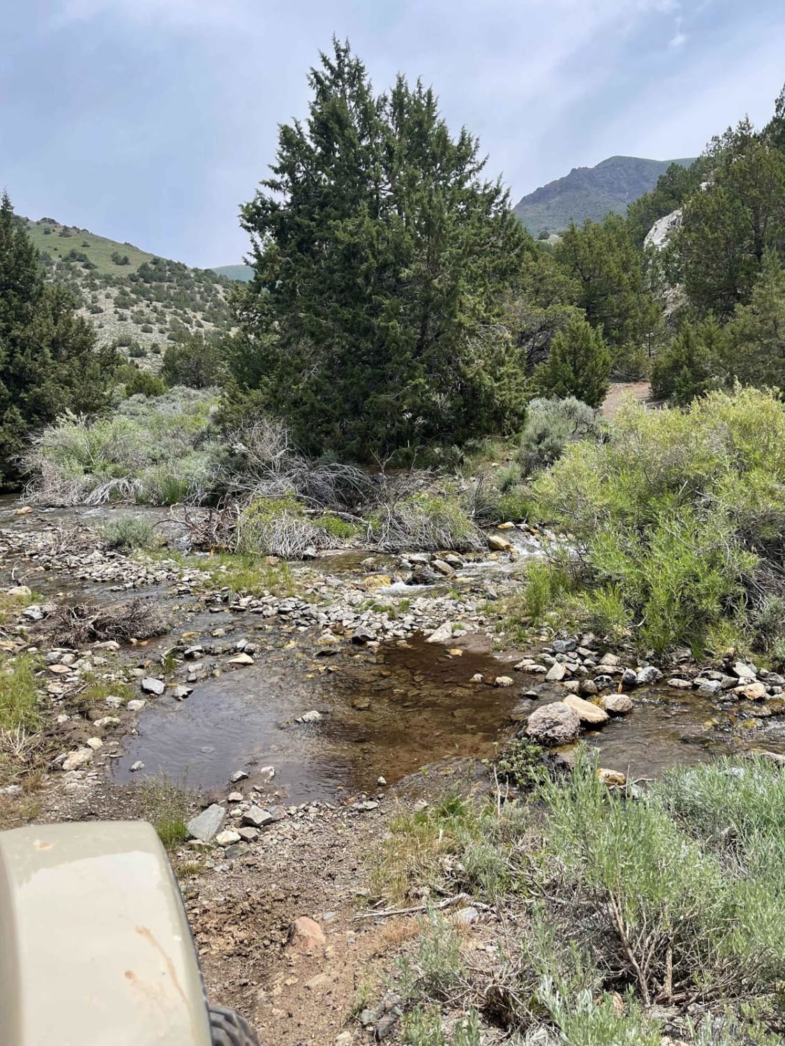
Trail Overview
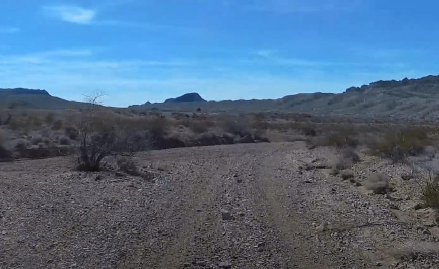
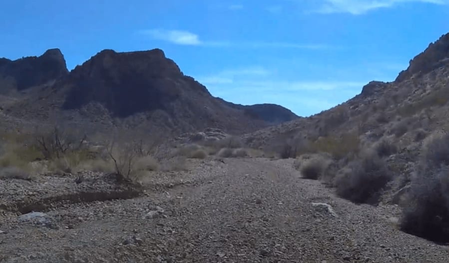
This portion of the track from Logandale to Lake Mead starts after you complete the Weiser Valley to Lunch Spot section. You will cross UTE Road and take a double-wide trail across the desert floor toward Valley of Fire Road. As you approach the lunch spot, the trail narrows and becomes rocky. The trail to the lunch spot is a dead-end, so if you are looking to get to Lake Mead and are ok with missing some incredible scenery, this section can be passed, and you can load the Lunch Spot to Bitter Springs track.
Photos of Weiser Valley - Lunch Spot
Difficulty
Mostly had double wide hard pack trail with some long sandy / rocky sections and a few whoops. If you take the spur over to the lunch spot, it gets a little technical but I would still rate it as an easy trail.
Weiser Valley - Lunch Spot can be accessed by the following ride types:
- High-Clearance 4x4
- SUV
- SxS (60")
- ATV (50")
- Dirt Bike
Weiser Valley - Lunch Spot Map
Popular Trails
Bade Creek Bypass - FS 43224
Lone Pine Canyon Road - BLM P-12
Power Run Road
Sonoma Creek Trail
The onX Offroad Difference
onX Offroad combines trail photos, descriptions, difficulty ratings, width restrictions, seasonality, and more in a user-friendly interface. Available on all devices, with offline access and full compatibility with CarPlay and Android Auto. Discover what you’re missing today!