The Express Connector
Total Miles
7.2
Technical Rating
Best Time
Spring, Summer, Fall
Trail Type
Full-Width Road
Accessible By
Trail Overview
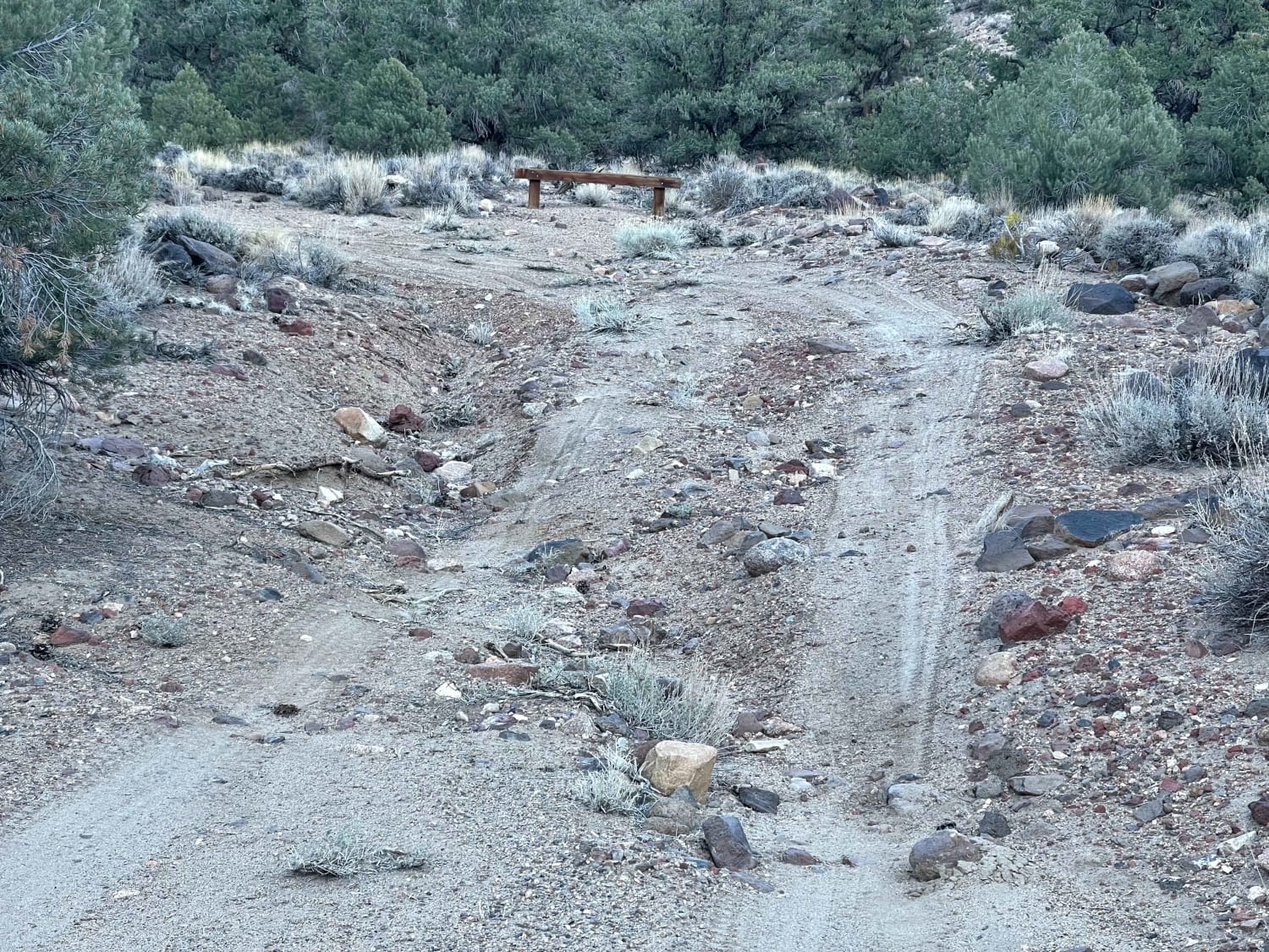
East-west connector linking Old Highway 93 on the Steptoe Valley floor to the Pony Express National Historic Trail via Schellbourne Pass and surrounding BLM two-tracks. The route climbs from an open sagebrush basin through pinyon-juniper country and crosses the Schell Creek Range at Schellbourne Pass (7,984'). The pass itself was used by the Overland Stage Line, the Pony Express, and the Transcontinental Telegraph -- one of the few gaps through the range that allowed direct east-west passage across the Great Basin. Views open up across Steptoe Valley to the west and Spring Valley to the east as you gain elevation. The Schellbourne rest area on US Route 93 has interpretive panels covering the Pony Express history at this crossing. The ghost town site of Schellbourne and the old Aurum Mining District are nearby to the east. Lower sections of the route are well-graded county road. Upper sections near the pass narrow to rougher two-track with loose rock and steeper grades. The road through the pass has tight turns and is not maintained to highway standards. No cell service on the route. No services between Old 93 and the Pony Express Trail. Nearest fuel and supplies in McGill or Ely. Download all maps before departure. The Pony Express Trail continues east from here across Spring Valley -- plan accordingly if linking routes. Seasonal Warning: Snow closes the pass and upper approaches from late fall through early spring. Rain turns lower clay sections slick and can wash debris across the road near drainages. Do not attempt in winter without verifying current conditions. No plowing or winter maintenance.
Photos of The Express Connector

Difficulty
The route follows the base of the Schell Creek Range on unmaintained two-track and dirt roads connecting Old 93 to the Pony Express Trail. In dry conditions, the surface is manageable for any high-clearance 4WD -- mostly native dirt and gravel through open sagebrush and valley floor terrain. No significant rock crawling, no shelf roads, no steep grades. The challenge is remoteness and length, not obstacles. Expect difficulty to increase when the trail is wet. The valley floor and lower slopes around the Schell Creeks sit on clay-heavy soil that becomes a zero-traction surface when wet. Winter snow and spring runoff can make low-lying sections impassable for days. Drainage crossings that are bone dry in summer can flood and wash out after storms. With no cell service and very little passing traffic, a stuck rig out here becomes a self-rescue situation on a long timeline. Overall, this route is technically easy but presents increased risk due to its remoteness, moderate route-finding challenges, and highly variable conditions that can quickly shift between dry and wet.
Status Reports
The Express Connector can be accessed by the following ride types:
- High-Clearance 4x4
- SUV
- SxS (60")
- ATV (50")
- Dirt Bike
The Express Connector Map
Popular Trails
Nellis Cove Road
Alabama Mine Ruins
Rock Creek Rock Garden Hill Climb
The onX Offroad Difference
onX Offroad combines trail photos, descriptions, difficulty ratings, width restrictions, seasonality, and more in a user-friendly interface. Available on all devices, with offline access and full compatibility with CarPlay and Android Auto. Discover what you’re missing today!