Spring Mountain Recreation Area - Side Trail 01
Total Miles
12.8
Technical Rating
Best Time
Summer, Fall, Spring
Trail Type
Full-Width Road
Accessible By
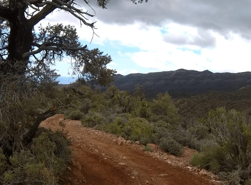
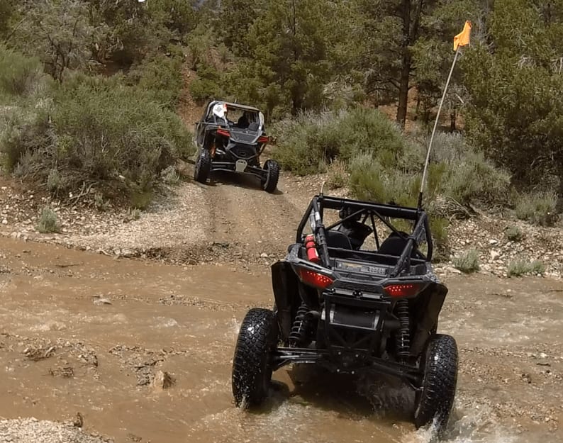
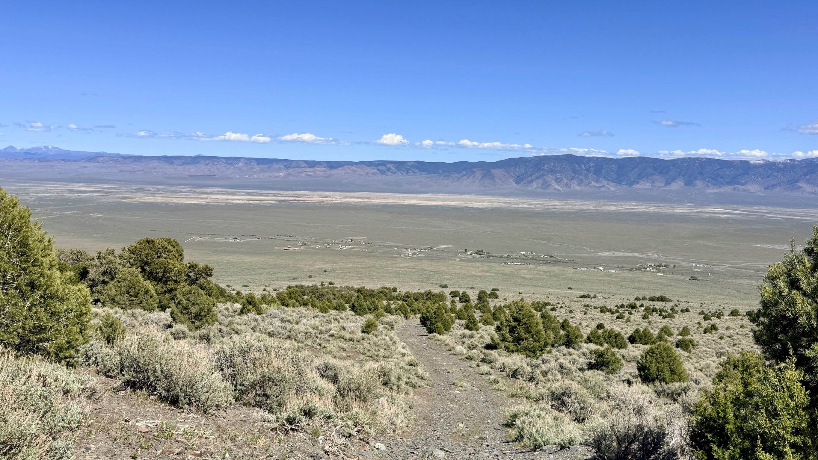
Trail Overview
This side trail starts off of Lovell Road, about 17 miles from Nevada Highway 160. The road starts out from NV 160 as Trout Canyon Road and at mile 7, you take the right fork which is Lovell Road. Both these are wide, level dirt and gravel roads. When you turn right off of Lovell Road, you will be on Forest Service Road 45538. This double-wide trail turns into Forest Service Road 259334. After about 2.8 miles, you will stay left at the fork and the trail becomes 45539. The trail climbs into the mountains but is wide, flat, and easy. At 7.75 miles from Lovell Road, you will make a hard left turn onto Lost Cabin Spring Road 45545. The trail becomes narrower with rocky sections as it continues to climb into the mountains. After 1.75 miles from where you turned onto Lost Cabin Spring Road, you will make another left turn onto an unmarked trail. There is a soft steep uphill section that is rated intermediate and should be no problem if you are in 4-wheel drive and in low gear. At the top of the hill climb, the trail makes a sharp left turn and follows the ridgeline. The trail is again narrow but wide enough for full-size SxSs and Jeeps. There are a few slight off-camber sections but nothing too challenging. You will now begin a long slow downhill until you enter Lovell Wash after 2.75 miles. This section is very scenic with rock walls to the left and trees to the right.
Photos of Spring Mountain Recreation Area - Side Trail 01
Difficulty
There's a steep soft hill climb that requires 4-low, a few off-camber sections, and some tight rocky areas.
Status Reports
Spring Mountain Recreation Area - Side Trail 01 can be accessed by the following ride types:
- High-Clearance 4x4
- SUV
- SxS (60")
- ATV (50")
- Dirt Bike
Spring Mountain Recreation Area - Side Trail 01 Map
Popular Trails
Blakely Canyon
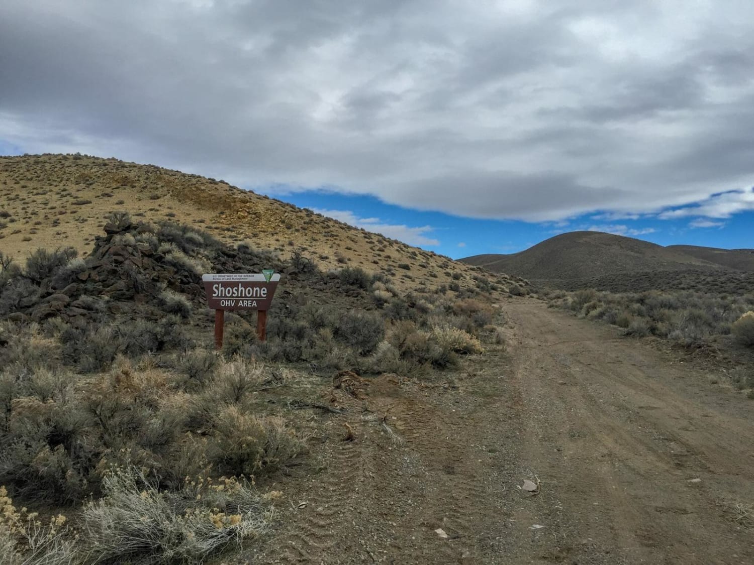
Shoshone ATV Trail


Jumbo Ranch Run
The onX Offroad Difference
onX Offroad combines trail photos, descriptions, difficulty ratings, width restrictions, seasonality, and more in a user-friendly interface. Available on all devices, with offline access and full compatibility with CarPlay and Android Auto. Discover what you’re missing today!