Hughes Cabin-Horse Springs Road
Total Miles
6.1
Technical Rating
Best Time
Spring, Summer, Fall, Winter
Trail Type
Full-Width Road
Accessible By
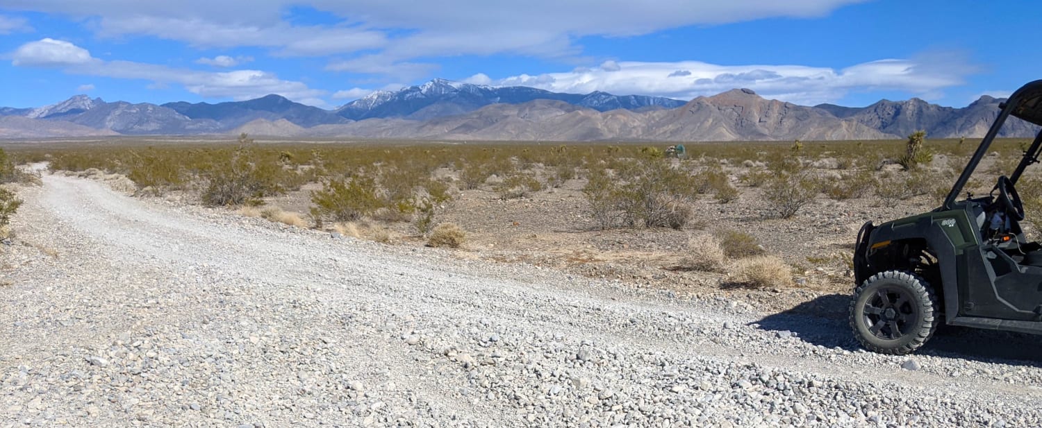
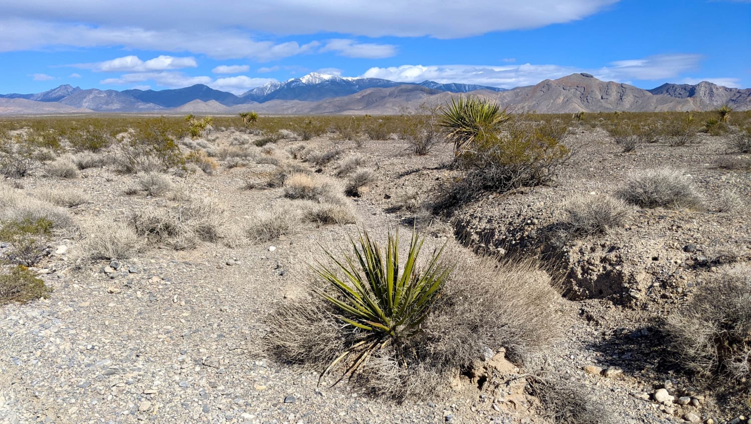
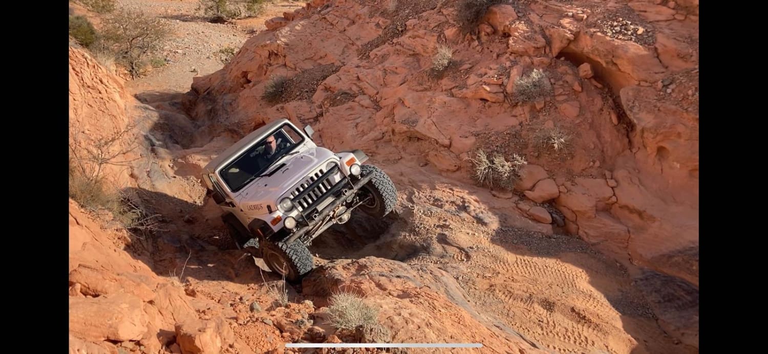
Trail Overview
Wide and well-maintained gravel road crosses BLM land, steadily climbing from valley floor at approximately 2,900ft to an elevation of 4,500ft. A locked gate with a "no trespassing" sign marks the end of the line for this trail. Desert flora include Yucca and Joshua Tree. Good views of Pahrump Valley.
Photos of Hughes Cabin-Horse Springs Road
Difficulty
Road can accommodate any high (or not so high) clearance vehicle.
Status Reports
Hughes Cabin-Horse Springs Road can be accessed by the following ride types:
- High-Clearance 4x4
- SUV
- SxS (60")
- ATV (50")
- Dirt Bike
Hughes Cabin-Horse Springs Road Map
Popular Trails
Sunrise Pass Road
Rock Bottom
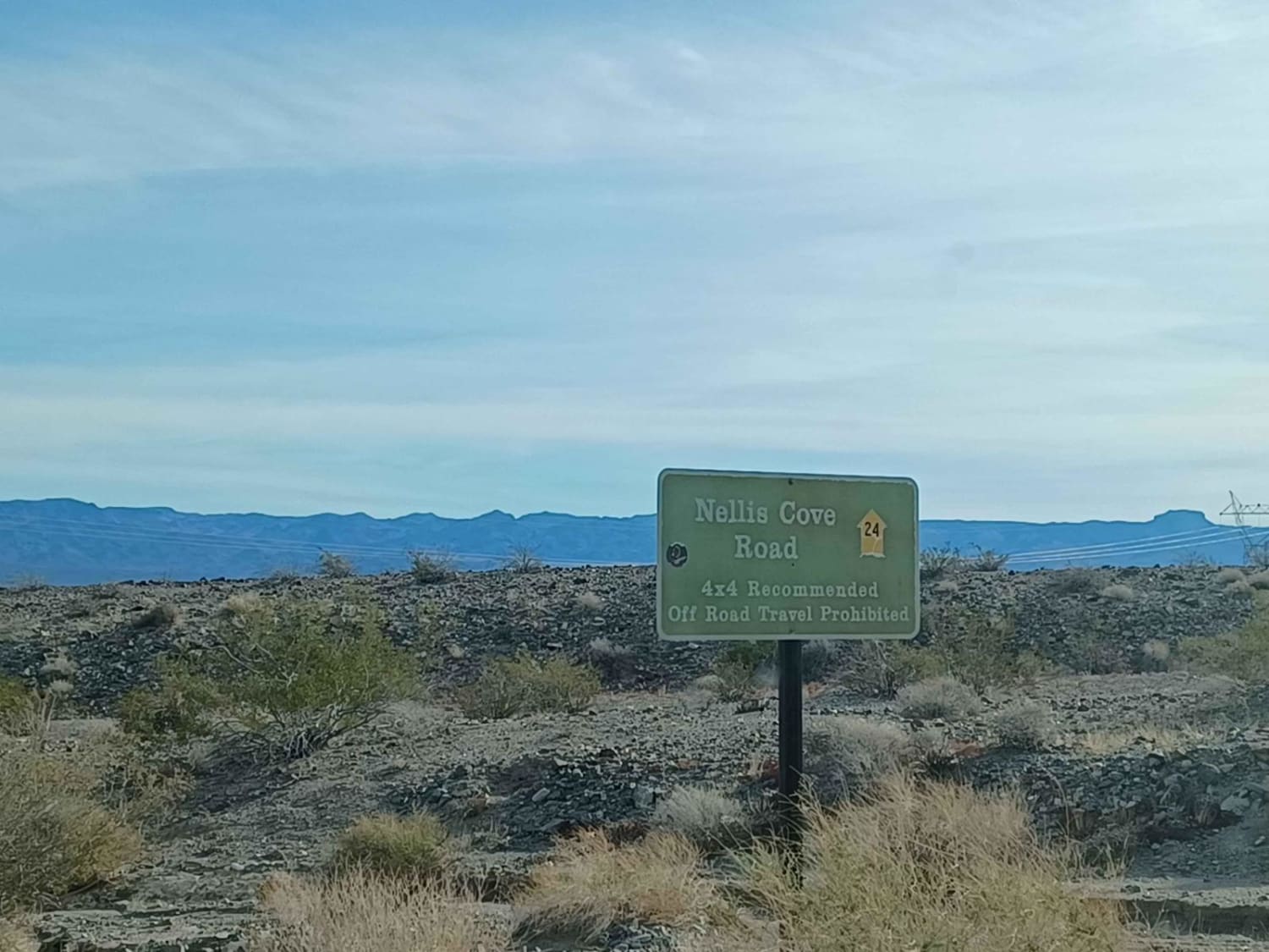
Nellis Cove Road
The onX Offroad Difference
onX Offroad combines trail photos, descriptions, difficulty ratings, width restrictions, seasonality, and more in a user-friendly interface. Available on all devices, with offline access and full compatibility with CarPlay and Android Auto. Discover what you’re missing today!