Hawthorne-Fletcher Rd/42028
Total Miles
19.2
Technical Rating
Best Time
Summer, Fall
Trail Type
Full-Width Road
Accessible By
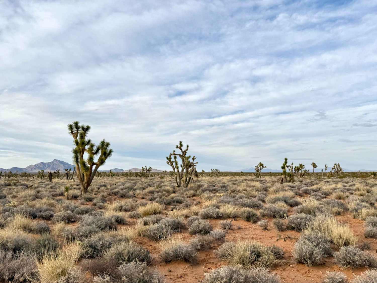
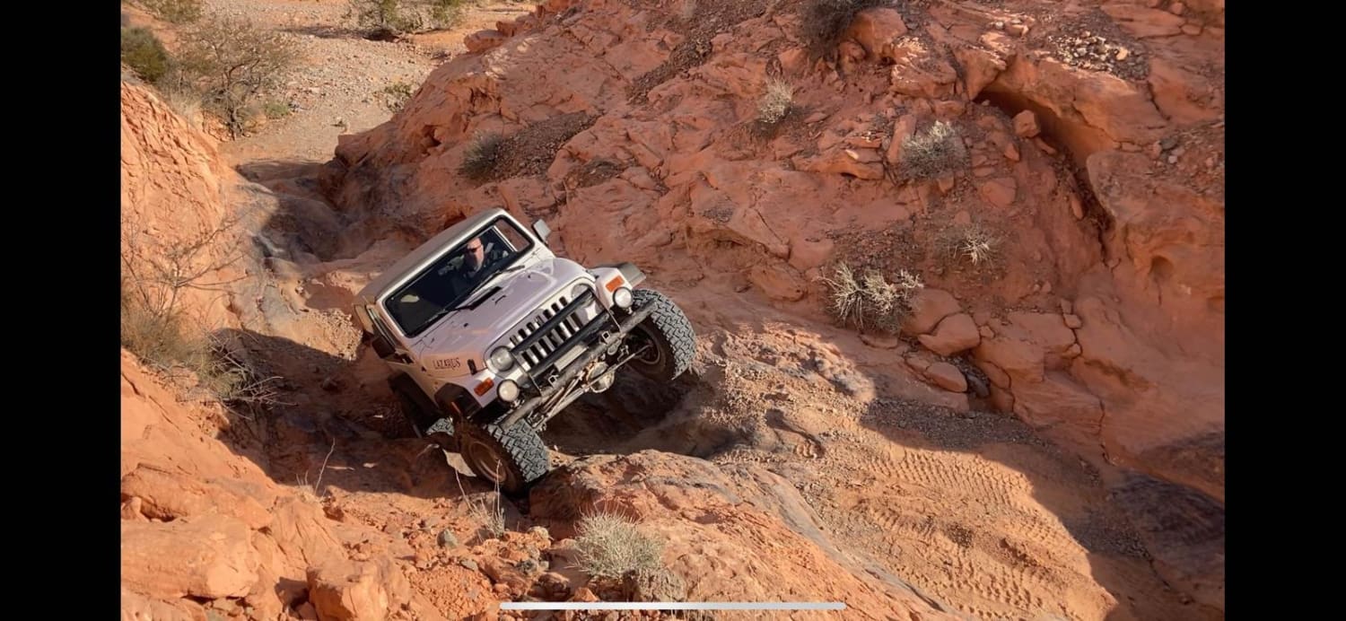
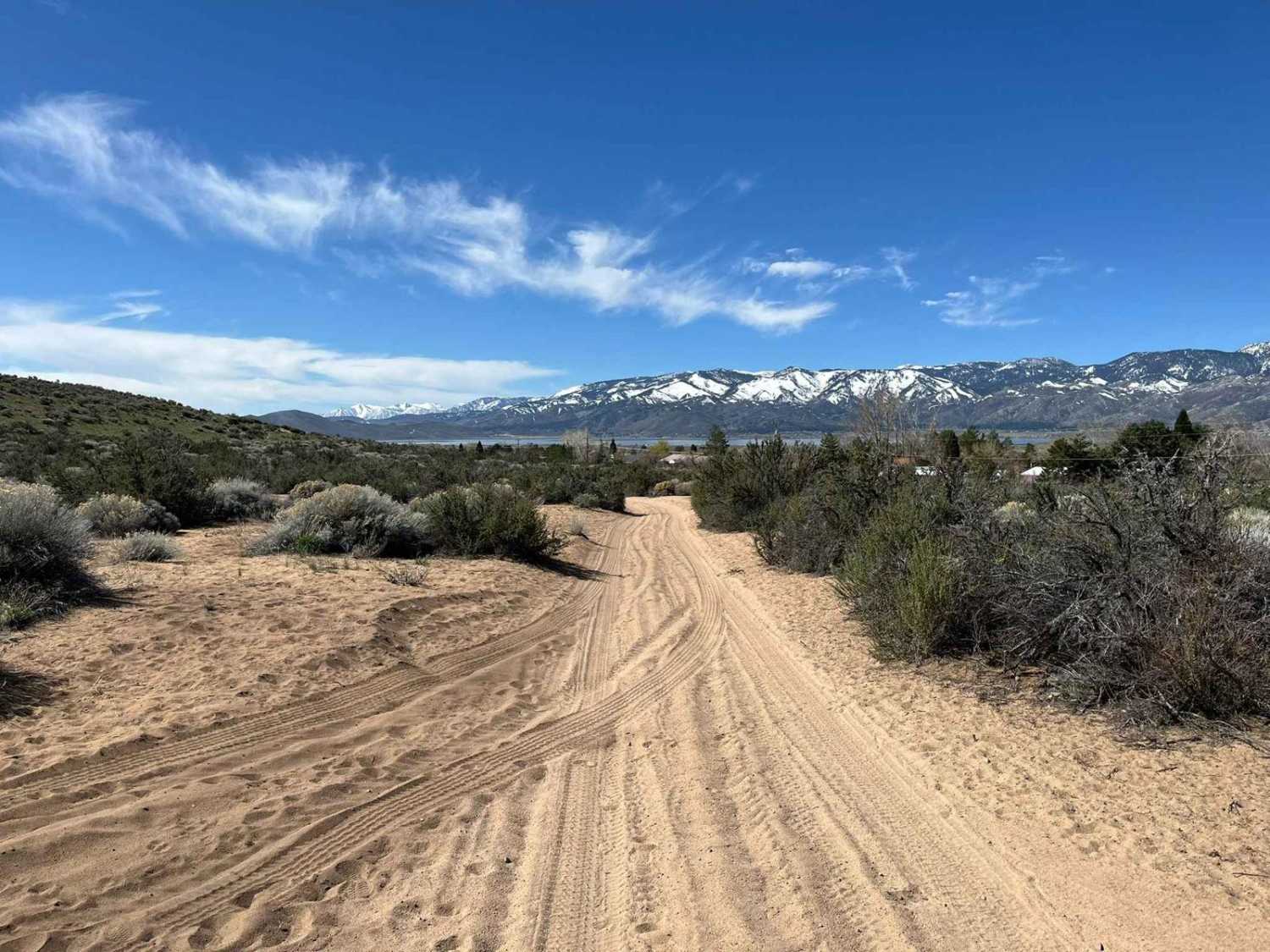
Trail Overview
This main trail, located alongside the East Walker River, is a well-maintained/graded road that traverses through some stunning Nevada landscape. Something this trail has to offer is the Walker River State Recreation Area, which has a seasonal campground and what the fisherman calls "The Elbow"--looking to get some camping and fishing in? This a great getaway to do just that. Further down the main trail, there are various chutes of trails that you can explore. There isn't much cell service, but you'll be on your way if you download the offline maps from onX Offroad. There are varying degrees of trails, and a high clearance 4X4 is a must if you explore off the main dirt road. I recommend going with another 4X4 vehicle--the Hawthorn--the Letcher Rd. Eventually, it connects to the Bodie High Desert Highway.
Photos of Hawthorne-Fletcher Rd/42028


Difficulty
Road can get large washboards and can get flooded from flash floods during the summer.
Status Reports
Hawthorne-Fletcher Rd/42028 can be accessed by the following ride types:
- High-Clearance 4x4
- SUV
- SxS (60")
- ATV (50")
- Dirt Bike
Hawthorne-Fletcher Rd/42028 Map
Popular Trails
Joshua Trees and Cliffsides
Rock Bottom

Camino De Flora Road of the Flowers
The onX Offroad Difference
onX Offroad combines trail photos, descriptions, difficulty ratings, width restrictions, seasonality, and more in a user-friendly interface. Available on all devices, with offline access and full compatibility with CarPlay and Android Auto. Discover what you’re missing today!