Granite Mountain Loop
Total Miles
49.8
Technical Rating
Best Time
Spring, Summer, Fall
Trail Type
Full-Width Road
Accessible By
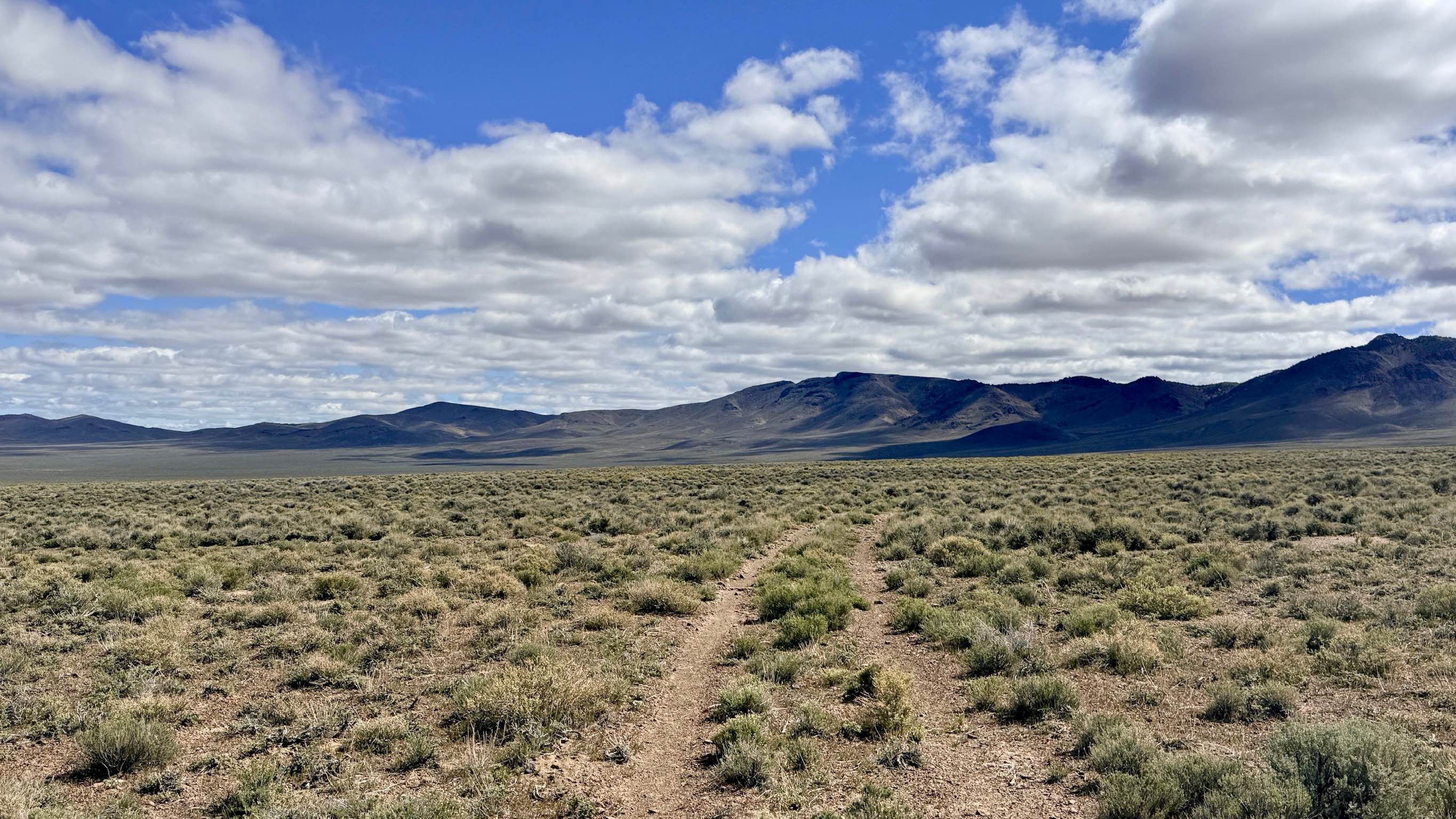
Trail Overview
The route passes several interesting sites, including springs, mine sites, and biplane U.S. Airmail Service beacon sites. The trail does not have any difficult obstacles unless wet. What makes it difficult is that it is 55 miles long and less than 15 MPH average speed for Street legal vehicles. Motorcycles and OHVs can do the route much faster.
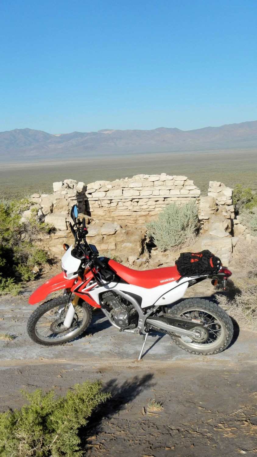
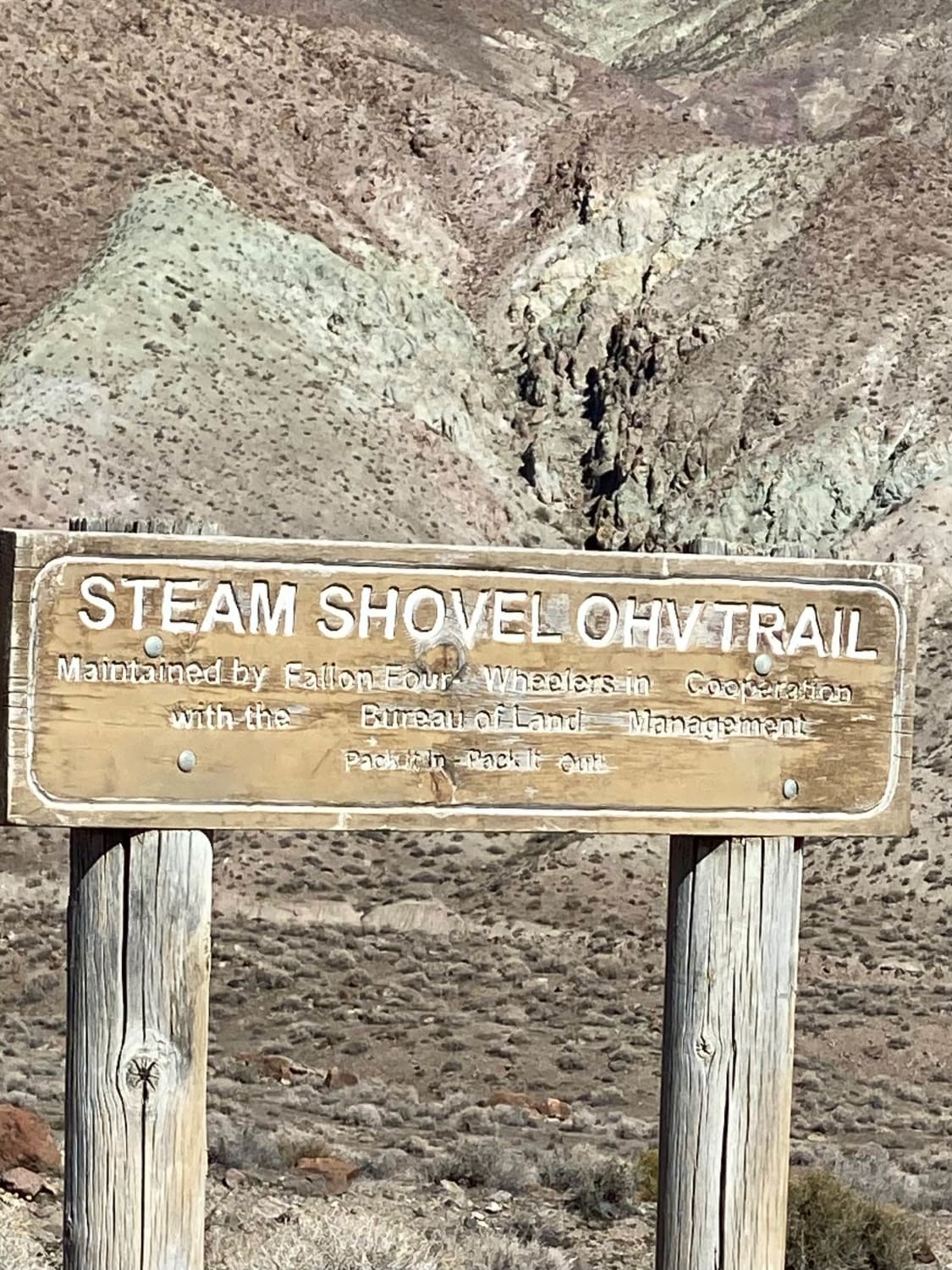
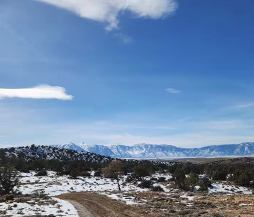
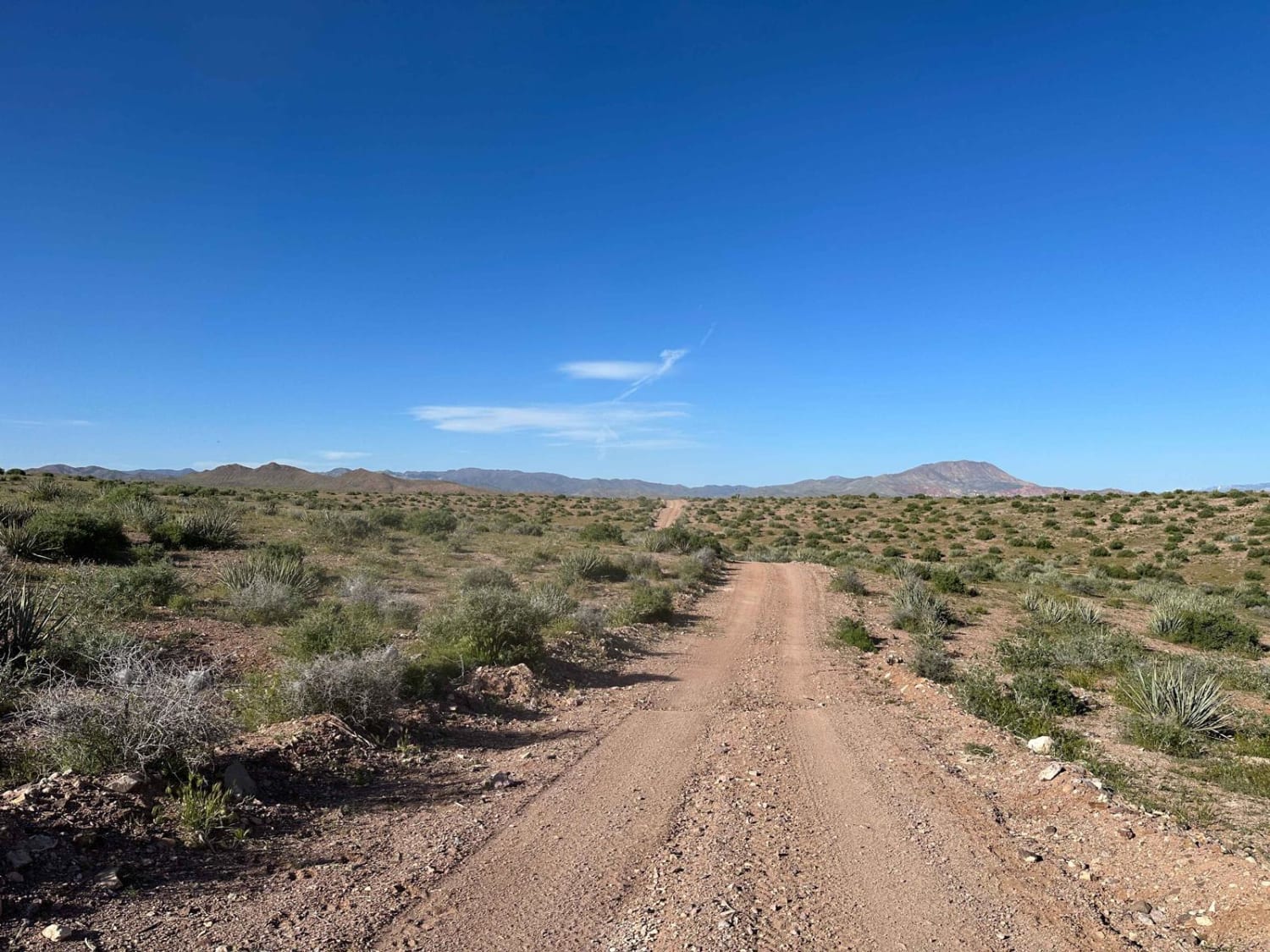
Photos of Granite Mountain Loop

Difficulty
The route is made up of dirt, gravel, and rocky trails. Wet conditions can make it slippery, and steep sections can be difficult. It is not recommended to travel alone or with only one vehicle as help is many miles away.
History
In the early 1920's U.S. Airmail Service was doing night flights guided by multiple concrete arrows and lighted beacon towers along the Transcontinental Airway. Each arrow made of concrete showed the route to the next arrow. They were placed a few miles apart along the route, allowing pilots to stay on route. Today many concrete arrows exist and a few beacon towers. These sites can be found at the following coordinates 40.20576, -117.80374 - 40.22271, -117.78279 - 40.22833, -117.74185 the last perhaps has the best preserved tower in Nevada but requires a hike to the top of a mountain.One mine site, Henrietta Mine has several structures to explore, just be sure to follow the trail up past the abandoned dump truck. In the spring the hillsides can be covered with wildflowers. 40.32027, -117.78456
Status Reports
Granite Mountain Loop can be accessed by the following ride types:
- High-Clearance 4x4
- SUV
- SxS (60")
- ATV (50")
- Dirt Bike
Granite Mountain Loop Map
Popular Trails
West Steam Shovel OHV Trail
P-10 Trail
Bull Valley Road
Spencer Spur A FS43283A
The onX Offroad Difference
onX Offroad combines trail photos, descriptions, difficulty ratings, width restrictions, seasonality, and more in a user-friendly interface. Available on all devices, with offline access and full compatibility with CarPlay and Android Auto. Discover what you’re missing today!