Orella Road
Total Miles
8.0
Technical Rating
Best Time
Summer
Trail Type
Full-Width Road
Accessible By
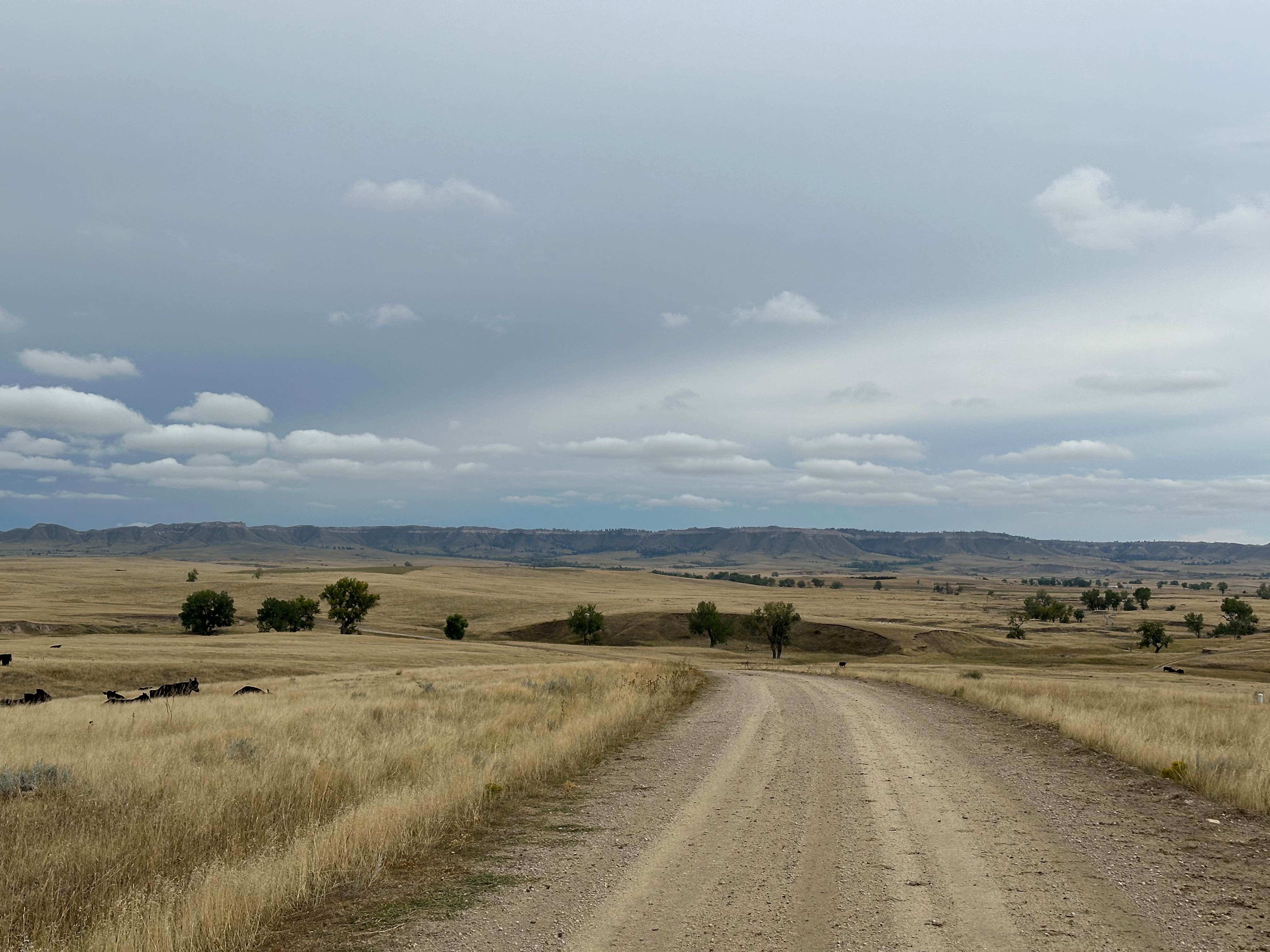
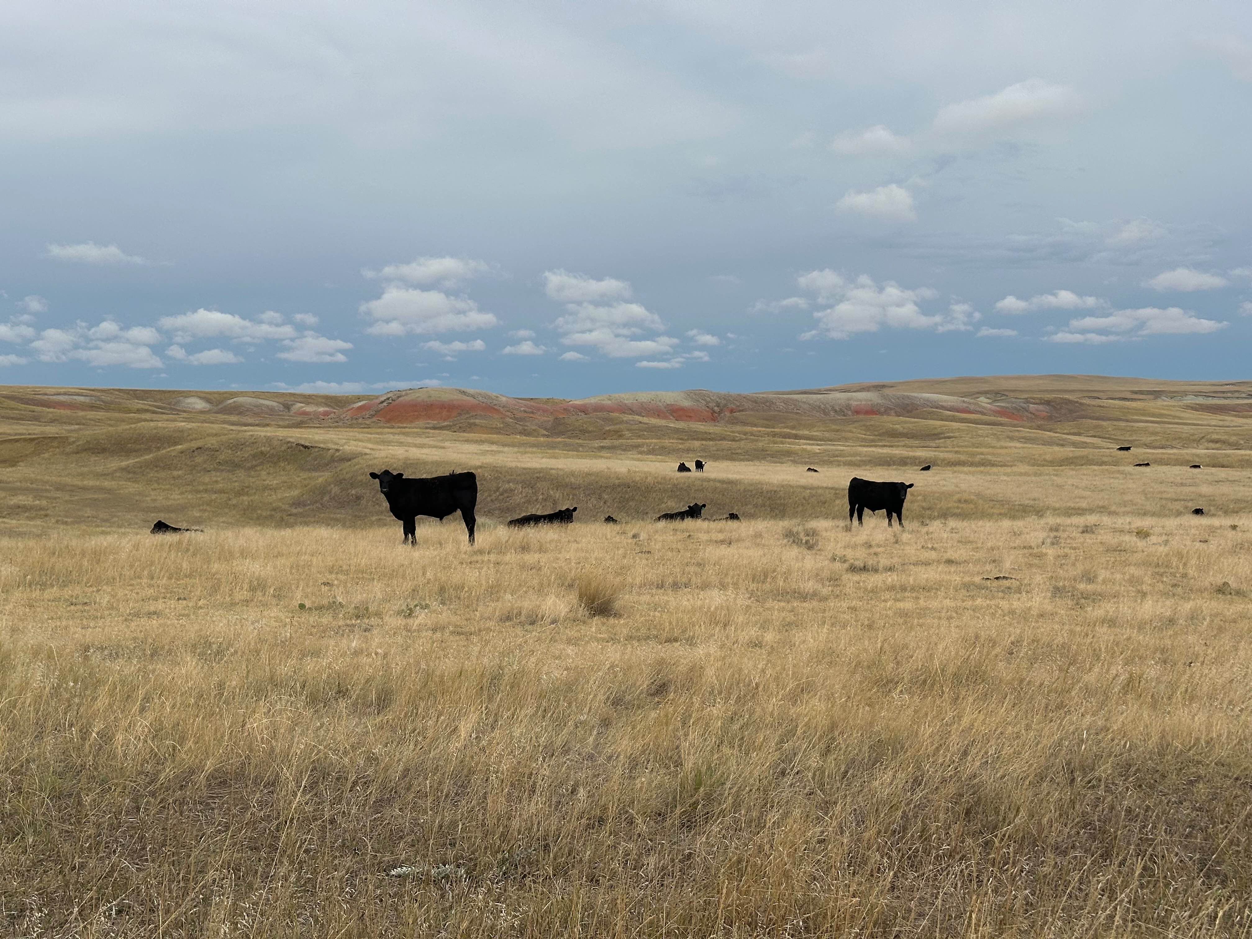
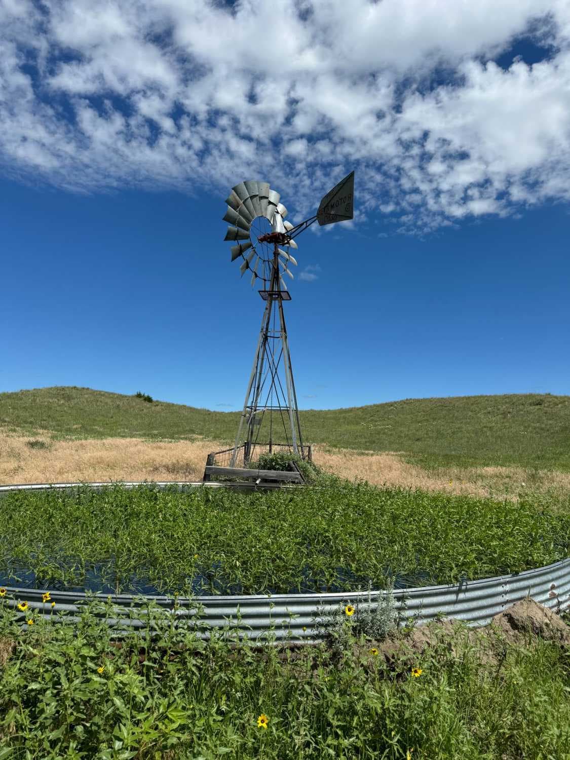
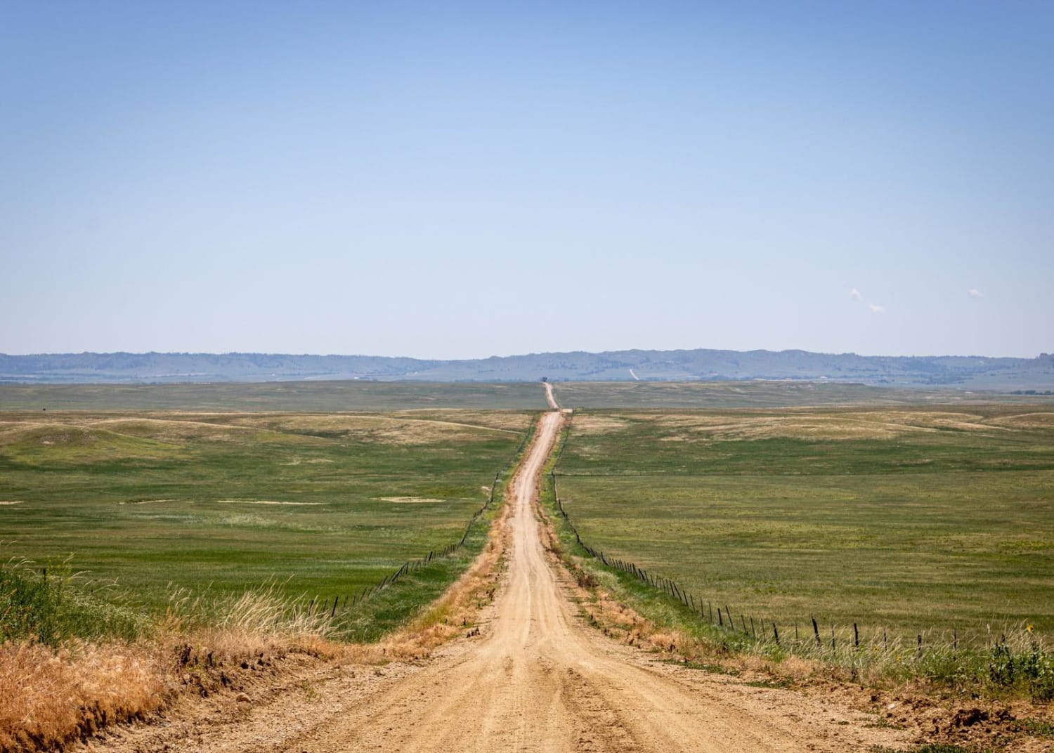
Trail Overview
The road begins on the west end off of Hat Creek Road and continues east to Toadstool Road. The area is surrounded by ranch land goes through private property with cattle on the road. Unique geologic features can be seen Toadstool area of the Ogala National Grassland. Beautiful views of grasslands and buttes can also be seen. The road can become muddy in wet conditions.
Photos of Orella Road
Difficulty
The road does not have any obstacles, but can become muddy and rutted in wet conditions.
Status Reports
Orella Road can be accessed by the following ride types:
- High-Clearance 4x4
- SUV
Orella Road Map
Popular Trails
Sandhills Mills (NFR 261)
The onX Offroad Difference
onX Offroad combines trail photos, descriptions, difficulty ratings, width restrictions, seasonality, and more in a user-friendly interface. Available on all devices, with offline access and full compatibility with CarPlay and Android Auto. Discover what you’re missing today!