Lemonade Road Pt 2
Total Miles
3.3
Technical Rating
Best Time
Spring, Summer, Fall
Trail Type
Full-Width Road
Accessible By
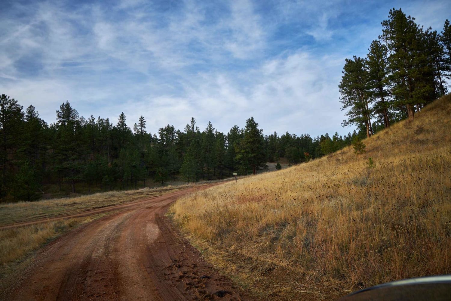
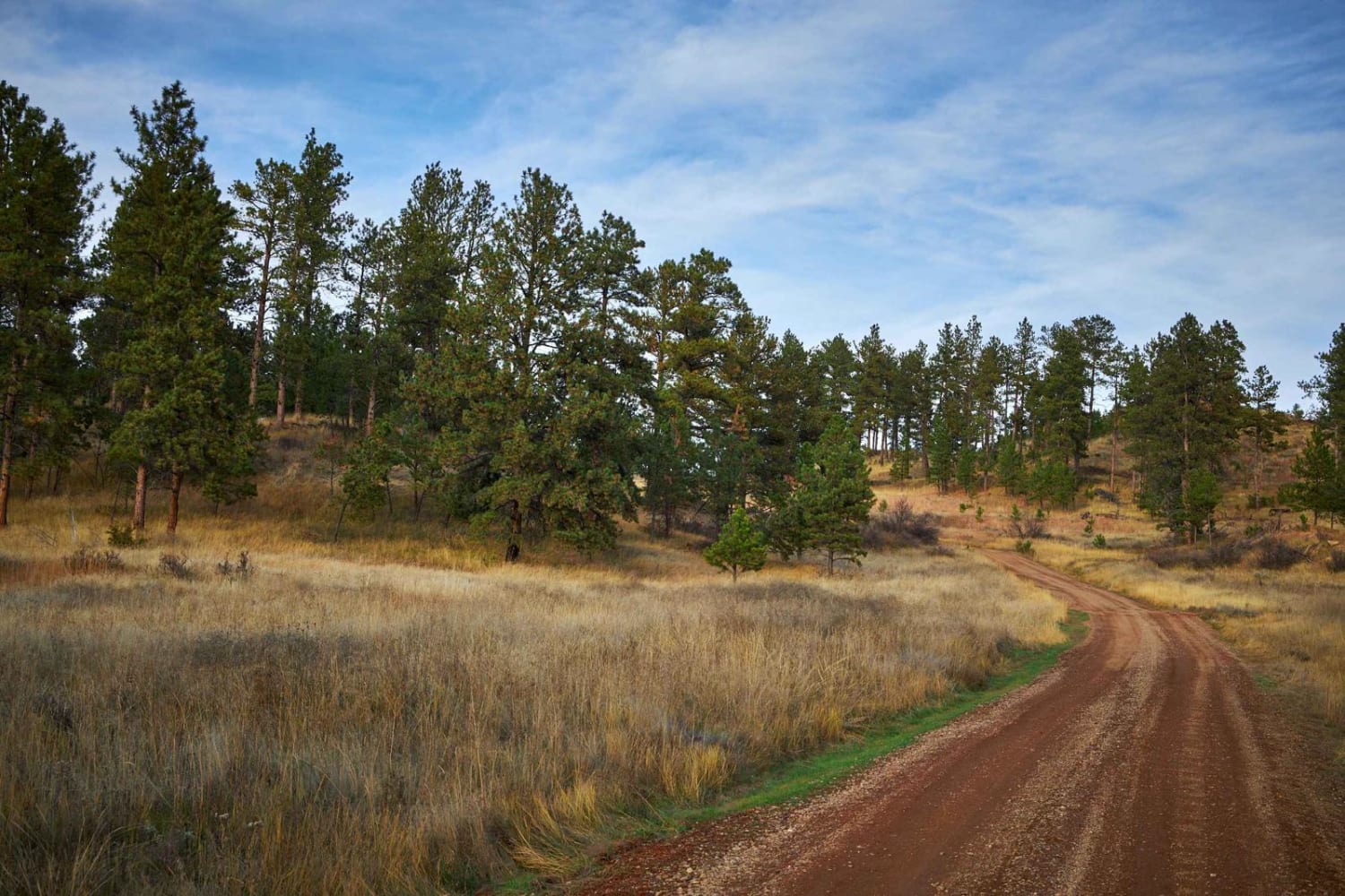
Trail Overview
The Southern section of Lemonade Road is a single-lane dirt road that heads uphill (North) toward the heart of the Custer National Forest. While rough and well-traveled, the road has no obstacles on it, though mud puddles might make this trail challenging after rain or snow. You might see wild turkeys on this road, as well as mule deer, as this area is popular with hunters.
Photos of Lemonade Road Pt 2
Difficulty
Dirt or rocky road, typically unmaintained after rain or snow.
Status Reports
Lemonade Road Pt 2 can be accessed by the following ride types:
- High-Clearance 4x4
- SUV
- SxS (60")
- ATV (50")
- Dirt Bike
Lemonade Road Pt 2 Map
Popular Trails

Stonewall Mountain Lookout

Little Boulder Side Trail
The onX Offroad Difference
onX Offroad combines trail photos, descriptions, difficulty ratings, width restrictions, seasonality, and more in a user-friendly interface. Available on all devices, with offline access and full compatibility with CarPlay and Android Auto. Discover what you’re missing today!