Haymaker Narrows
Total Miles
9.6
Technical Rating
Best Time
Summer
Trail Type
50" Trail
Accessible By
Trail Overview
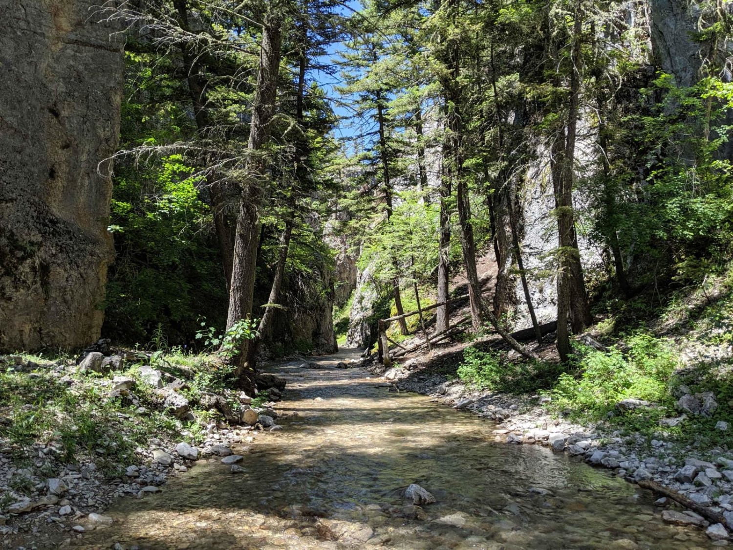
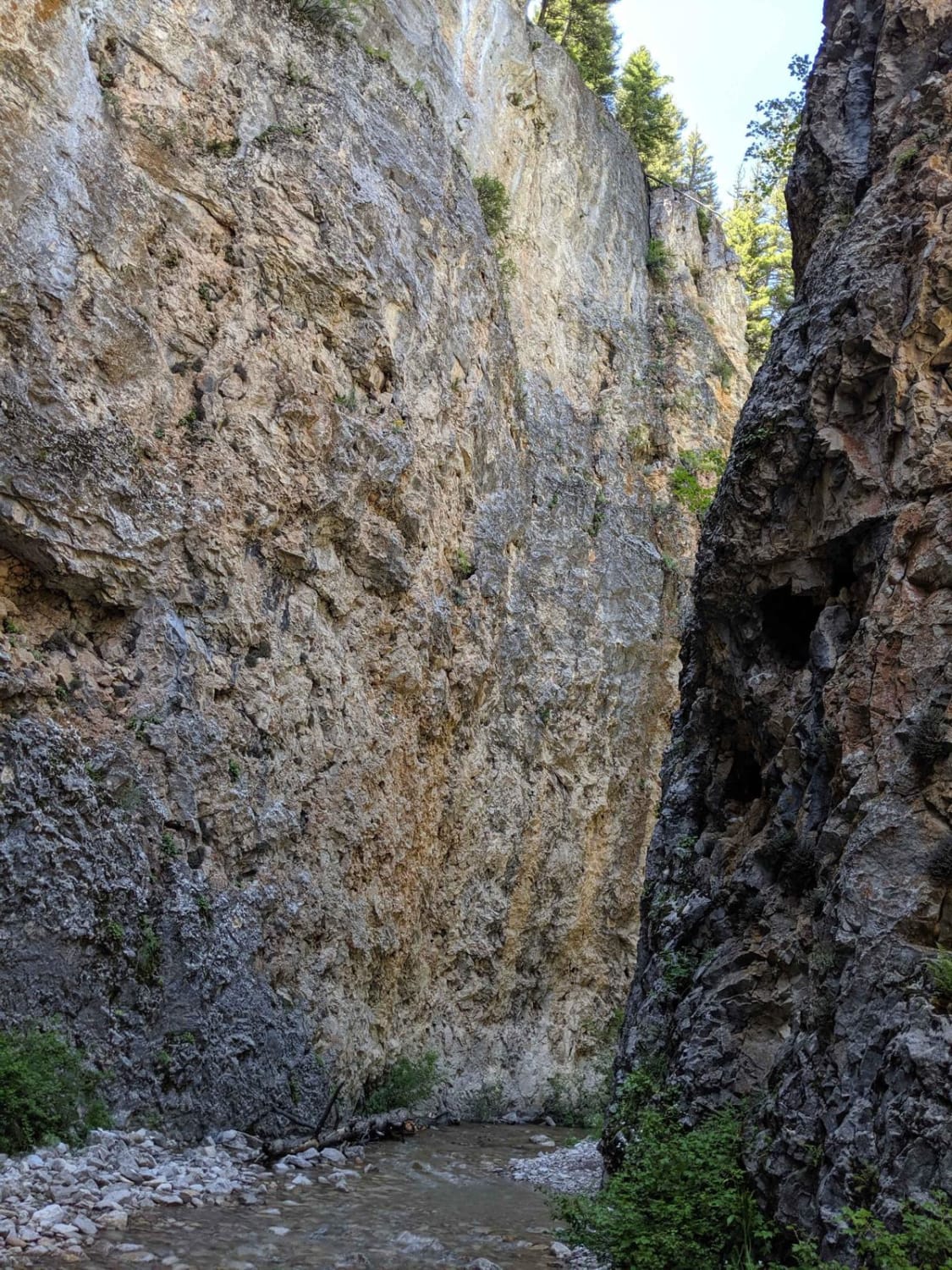
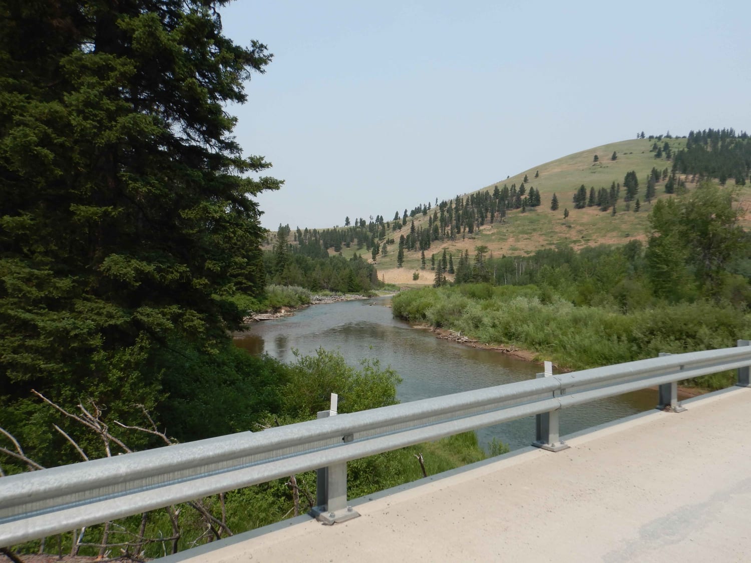
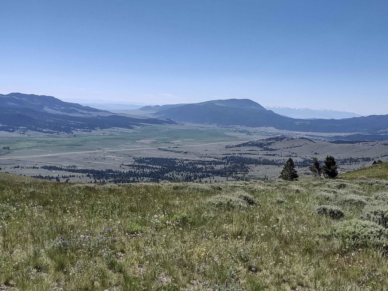
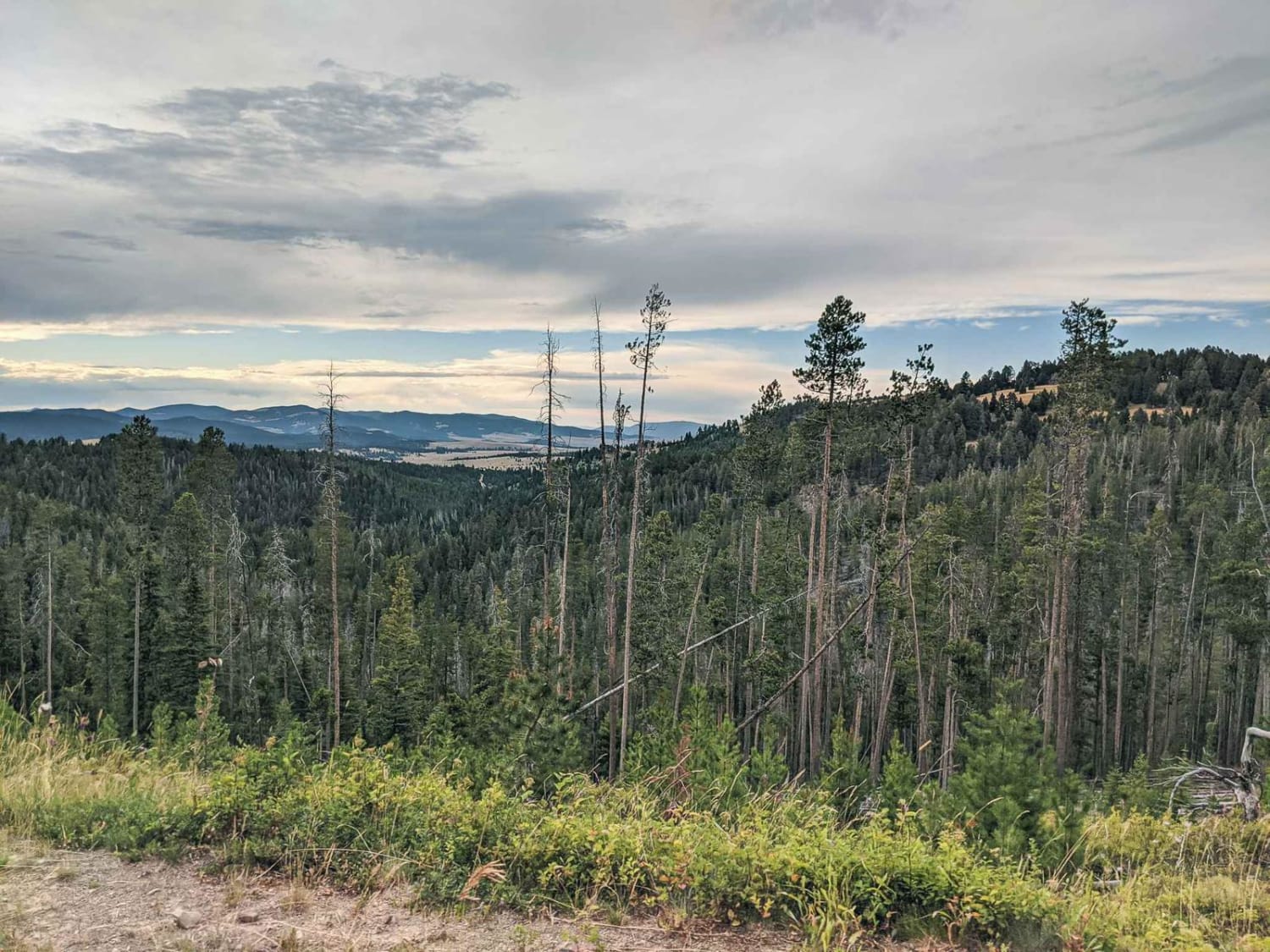
Haymaker Narrows trail is a 50 inch trail. The area referred to as "the narrows" is in the south section with multiple water crossings, high rock walls on both sides and portions of the trail are a rocky creek bottom that would be difficult on a motorcycle in spring and early summer when the water is high. There is no way to bypass this section. The middle section has meadows and more creek crossings. In this middle section, on an ATV or SxS, watch for off camber trails. Most have a bypass. There are several of these bypasses where you can go uphill on a motorcycle if you want to stay dry or on an ATV or SxS, the best choice is usually to go low to avoid off-camber situations and have fun in the water crossings. The north section is more likely to be muddy, tight and twisty with some steep sections.Do not expect any cell service along the route, you'll be down in a canyon most of the time so plan ahead with offline maps. In spring and early summer the water is usually pretty high in the narrows and the trail runs along the creek bottom which has a lot of large rocks so I would not recommend dirt bikes until late summer or fall. An ATV or SxS would be a good choice on this trail.
Photos of Haymaker Narrows
Difficulty
This intermediate-rated trail offers a variety of challenges, including uneven dirt with loose rocks, erosion, and water crossings up to 18 inches deep. Riders should be prepared for mud holes and obstacles up to 2 feet high, such as ledges and steep inclines. The southern "narrows" part of the trail features high rock walls and a rocky creek bottom, making it difficult for motorcycles during spring and early summer when water levels are high. The middle section has meadows and creek crossings, with bypasses available for off-camber trails. In the northern section, expect mud, tight twists, and steep segments. Overall, this trail is best suited for ATV or SxS riders, with caution advised for dirt bikes, particularly in the spring.
Haymaker Narrows can be accessed by the following ride types:
- ATV (50")
- Dirt Bike
Haymaker Narrows Map
Popular Trails
Nevada-Ogden Road
Wood Chute to Blue Bird Mine

Saltese - St. Paul Pass
The onX Offroad Difference
onX Offroad combines trail photos, descriptions, difficulty ratings, width restrictions, seasonality, and more in a user-friendly interface. Available on all devices, with offline access and full compatibility with CarPlay and Android Auto. Discover what you’re missing today!