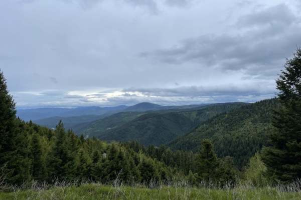
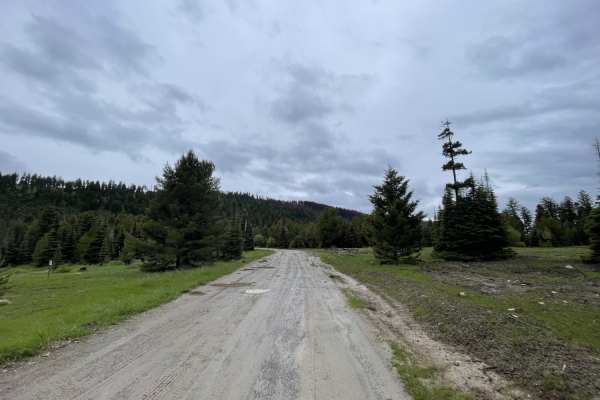
Trail Overview
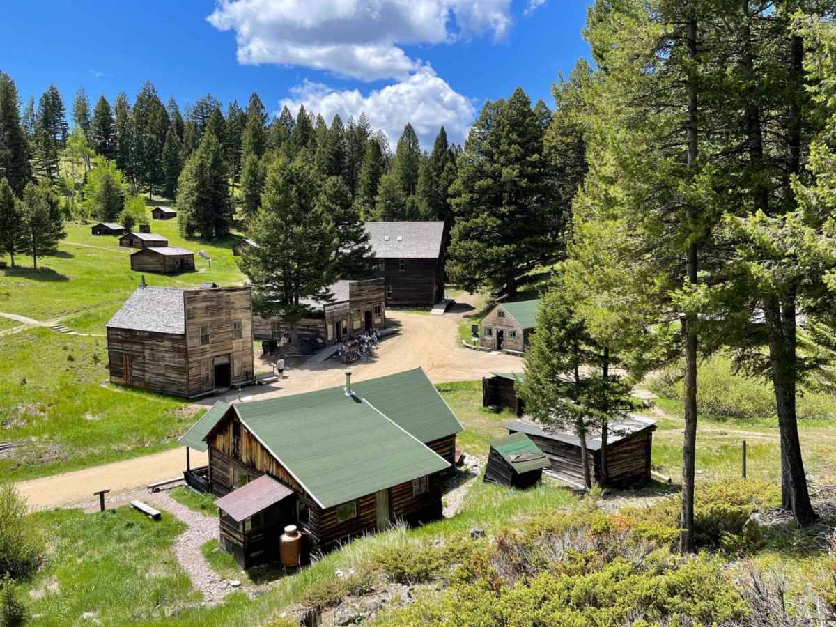
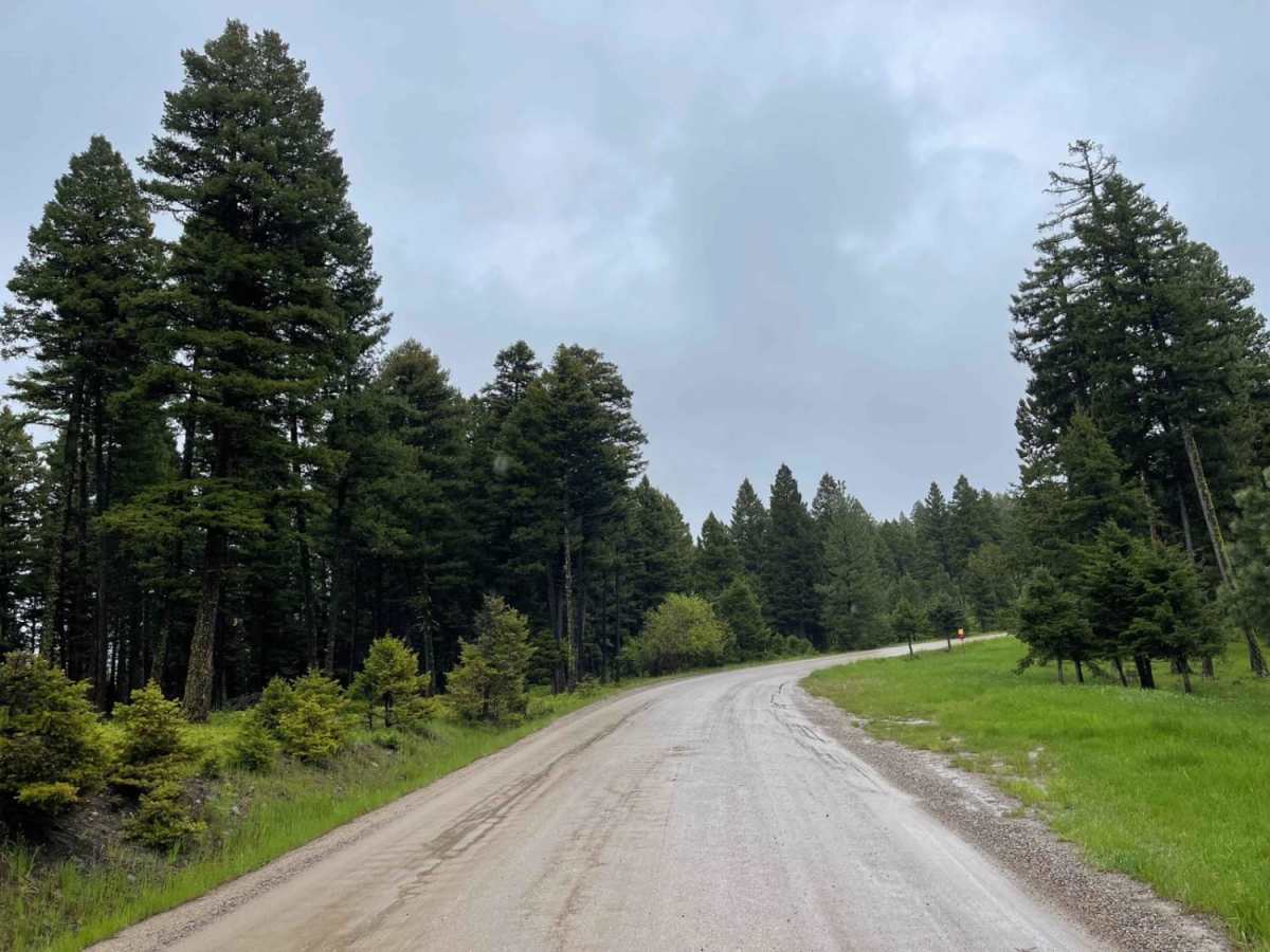
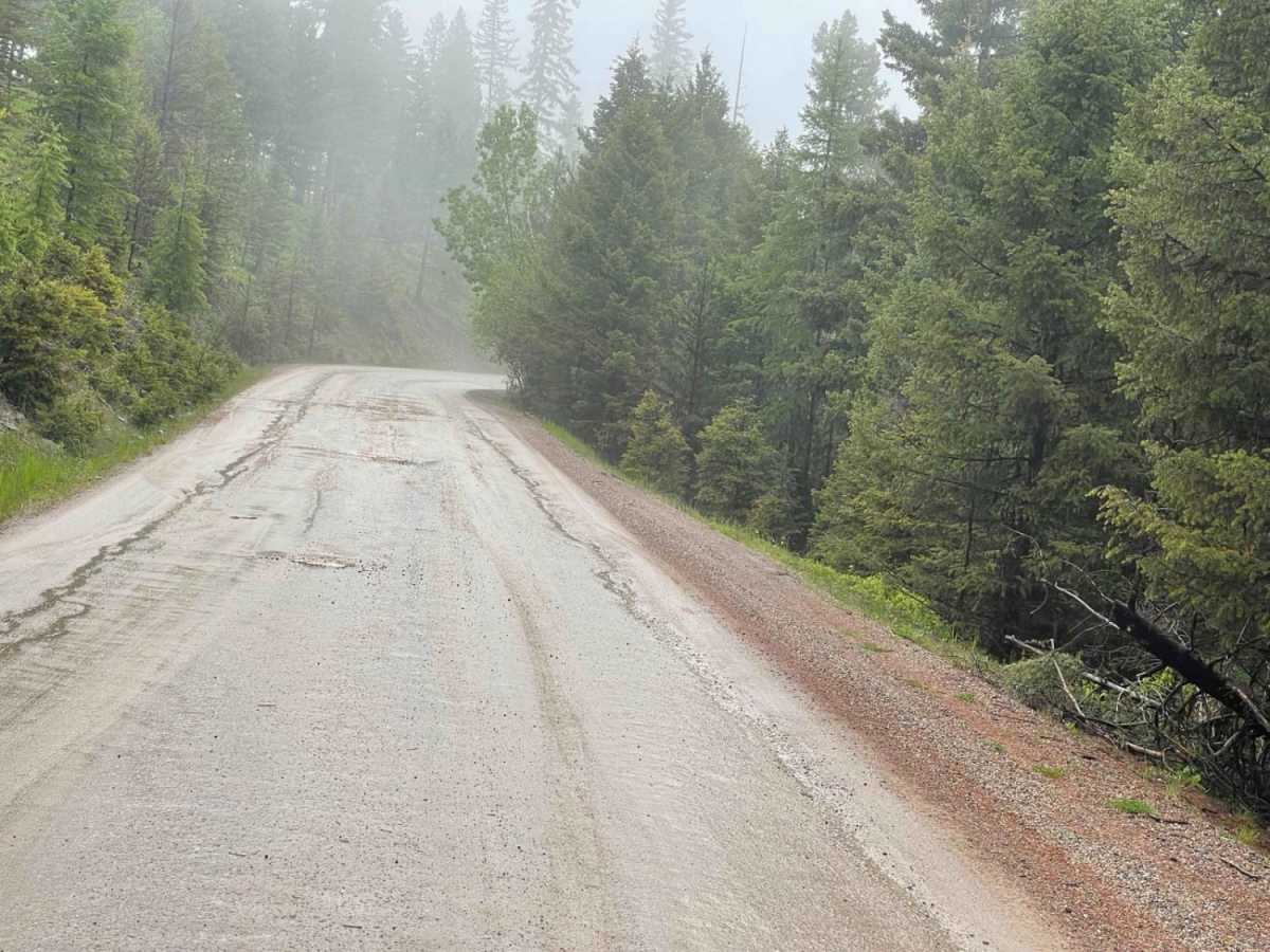
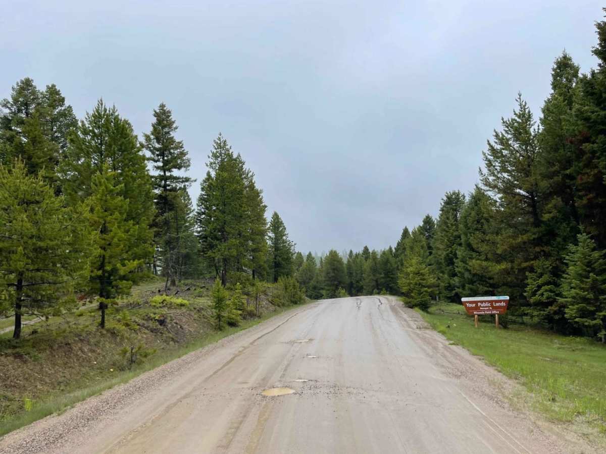
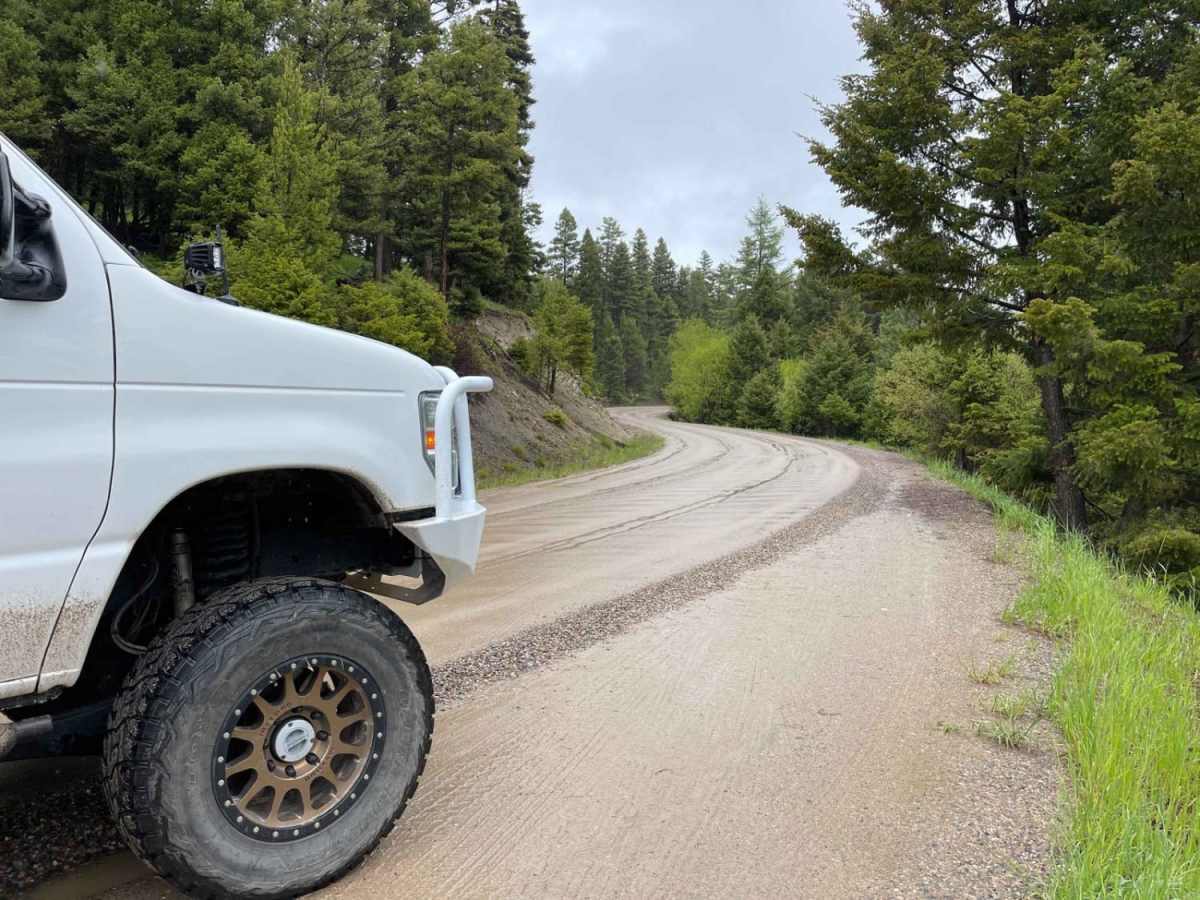
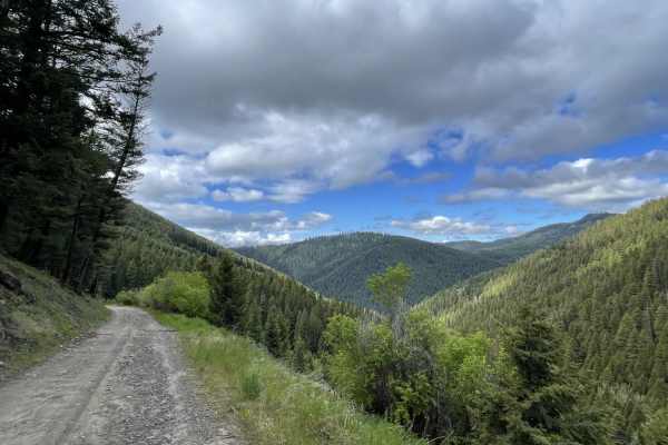
This very potholed and deeply washboard trail leads from the beginning of the dirt section to Montana's best-preserved Ghost Town, Garnet. This site features some of the best-kept historical buildings of its kind. The trail ends at the parking area, and a three-dollar fee per person is well worth it for entry. There are many great picnic spots to choose from, a freshwater spigot, and lots to explore in the town itself. There are pit toilets, too. It's a beautiful place to explore and hang around and have lunch. If you have the time, there are quite a few hikes in the area from 1-3 hours each that seem well worth the time. There are two bars of LTE service that fade in and out with none at the ghost town.
History
There was a time, a hundred years ago, when Garnet was a thriving town filled with gold miners and their families--working hard to carve out a community in the heart of the Garnet Mountains. In 1898, somewhere around 1,000 people called Garnet their home.Garnet is open year-round, daily from 9:30am-4:30pm. However, access is limited in the winter. Wheeled vehicles are allowed on the road from May 1 through December 15, depending on snow conditions. Please note that visitors in the spring and fall may want/need to park in the designated parking lots and ski or snowmobile to the town instead of driving on snow-bound roads. In winter, Garnet is only accessible by snowmobile and cross-country ski trip.$3 a person over 16 years of age. The BLM uses entrance fees to help protect, preserve and interpret Garnet Ghost Town or use your America the beautiful Membership Card for free entry.Montana's most intact ghost town wasn't built to last. Enterprising miners were more interested in extracting the riches below ground than building above. As a result, buildings grew quickly, most lacking foundations. They were small and easy to heat. Yet, a century after Garnet emerged, remnants of the town stand, hidden high in the Garnet Mountain Range east of Missoula.Garnet was named for the semi-precious ruby-colored stone found in the area and was an excellent place to live. The surrounding mountains were rich in gold-bearing quartz. There was a school, the crime rate was low, and liquor flowed freely in the town's many saloons. The bawdy houses did a brisk business, and Missoula and Deer Lodge were close enough for necessary supplies.The complete history can be found at: http://www.garnetghosttown.org/