Cabin City
Total Miles
26.0
Technical Rating
Best Time
Spring, Summer, Fall
Trail Type
Full-Width Road
Accessible By
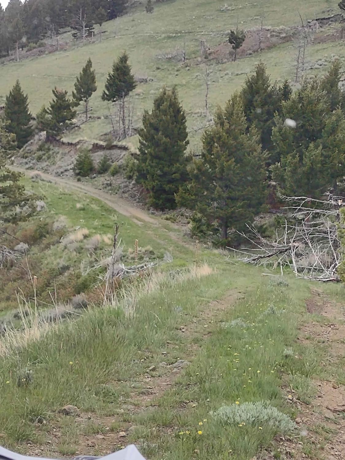
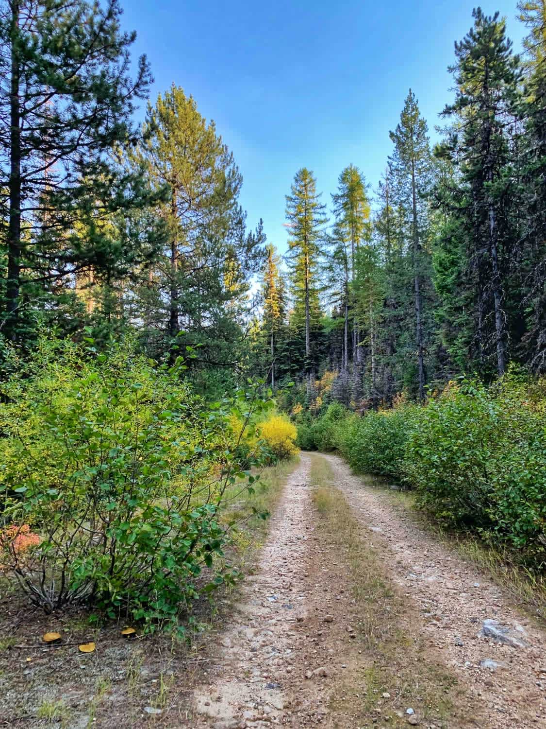
Trail Overview
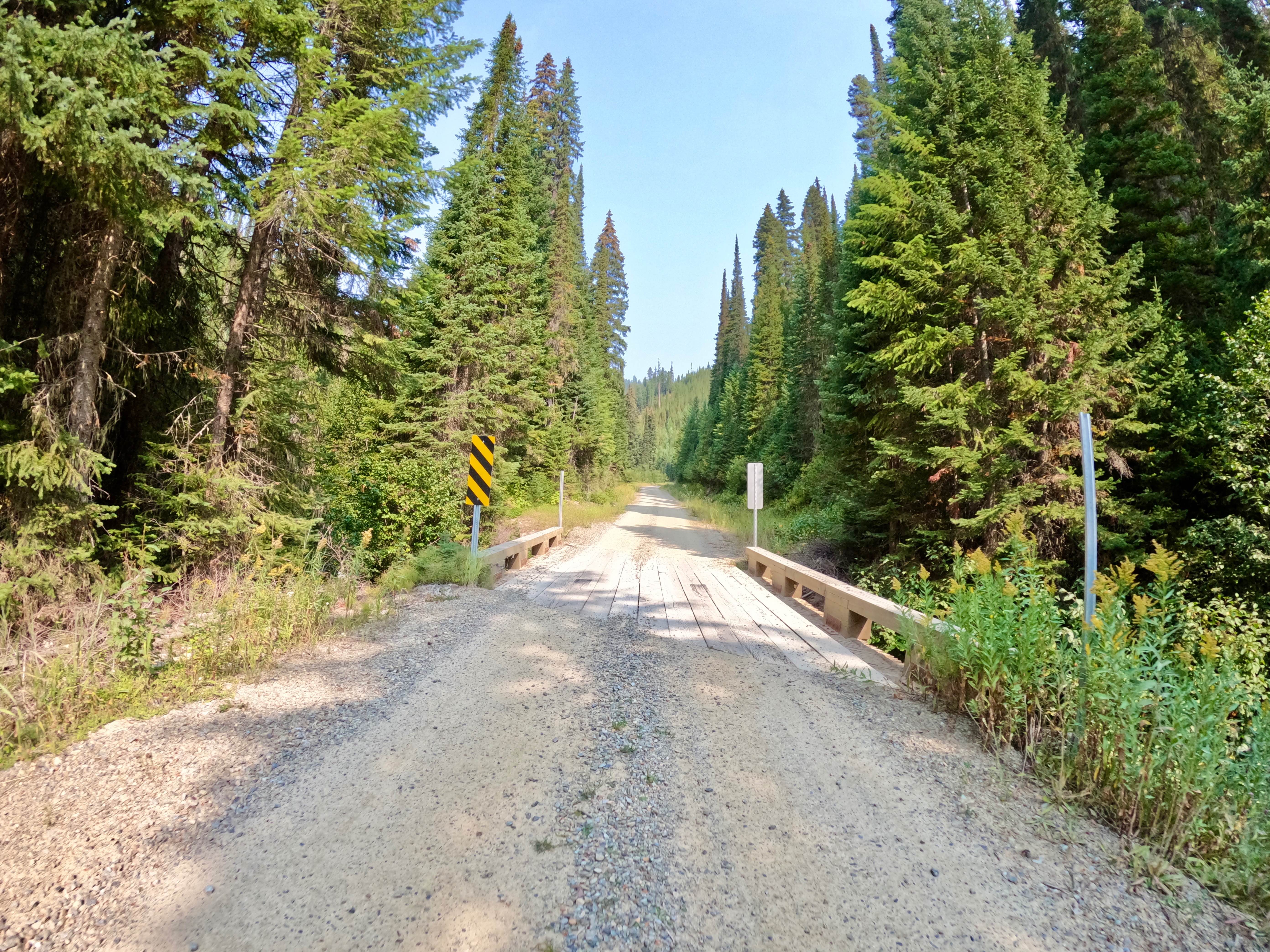
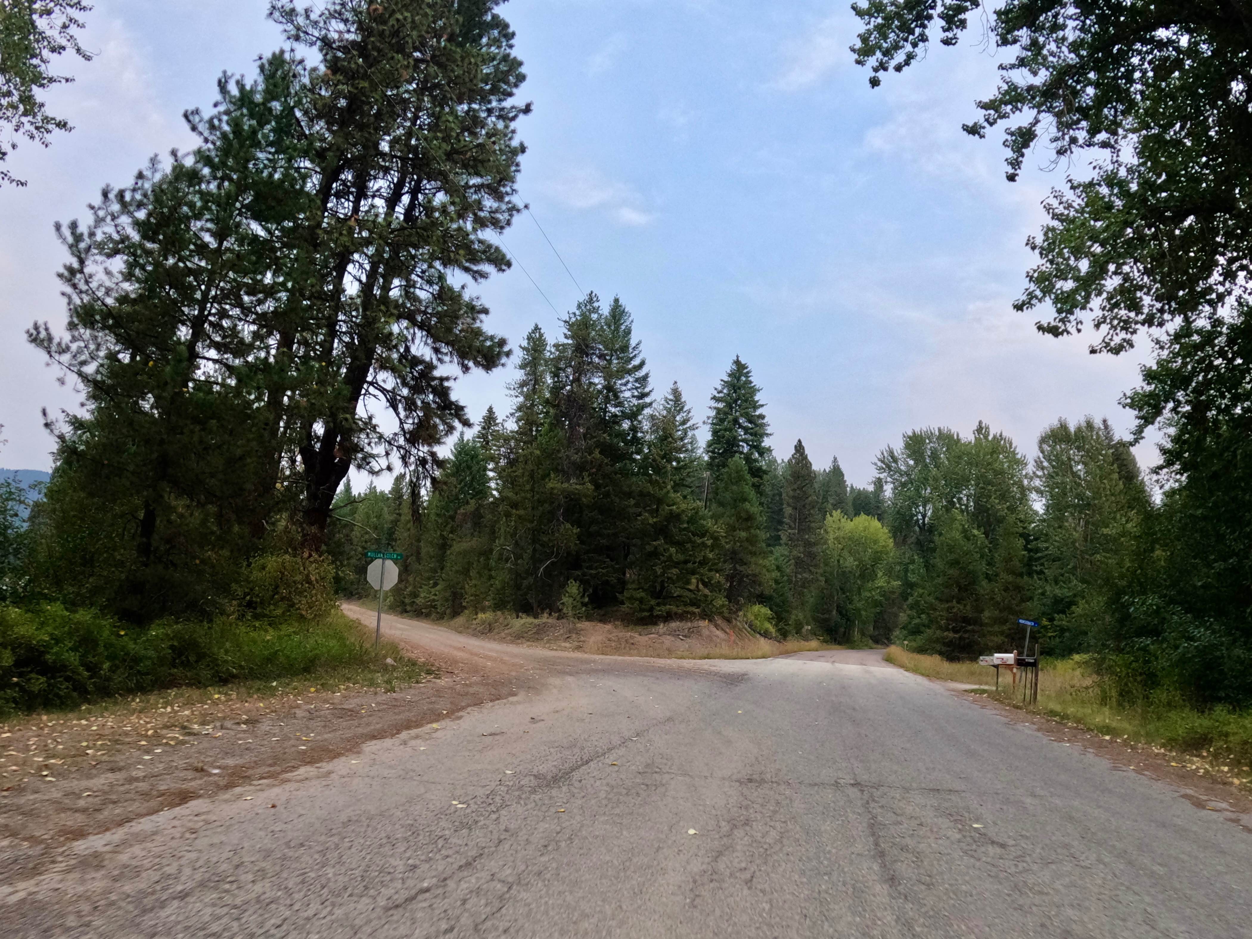
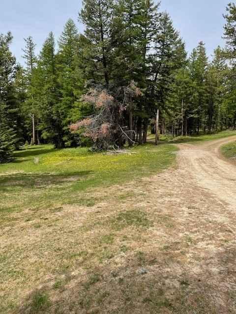
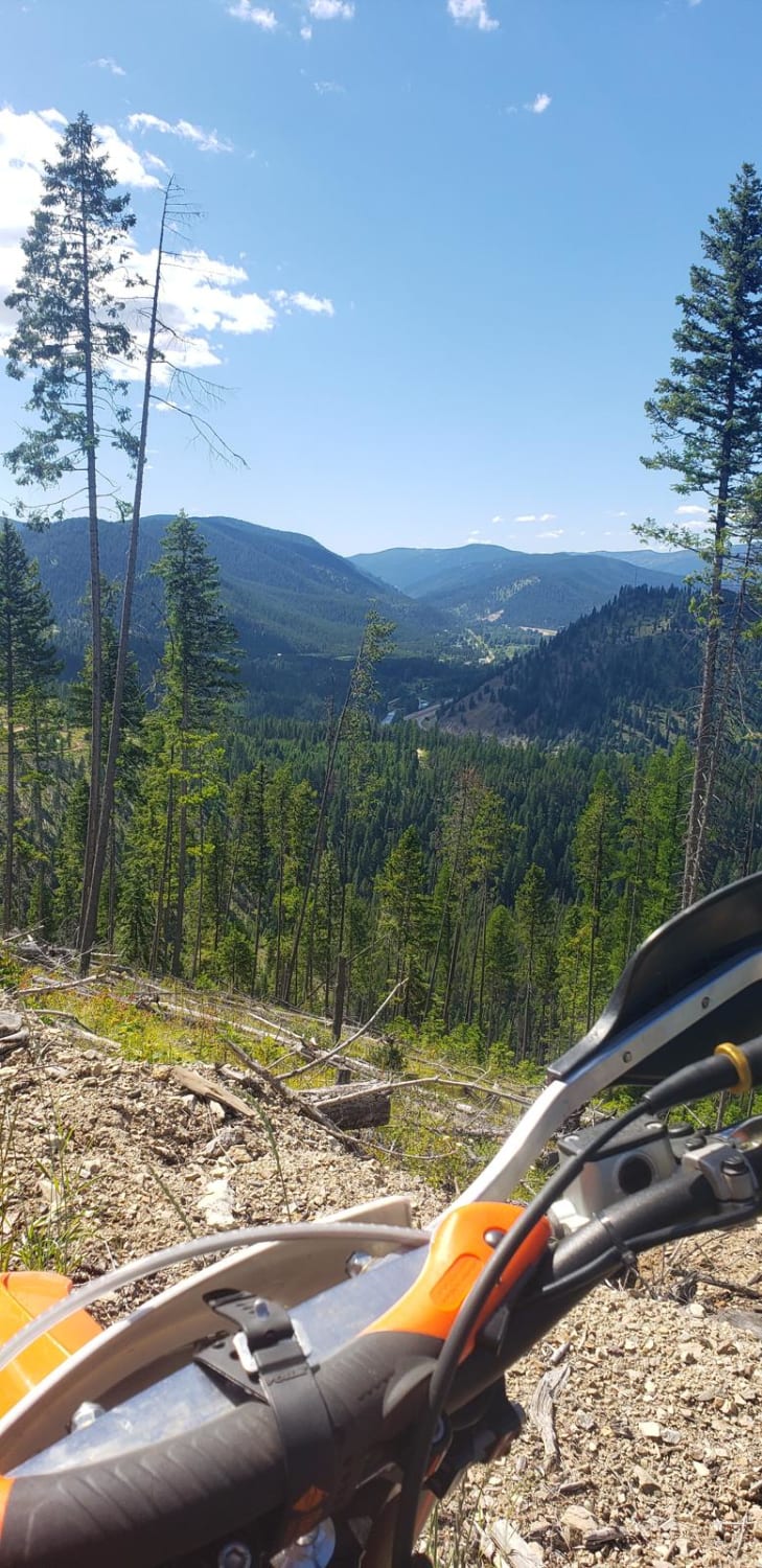
The route is mainly two-lane, made up of dirt and gravel. Long straight aways and sharp corners make up the route. There are spots with deep drops right next to the side of the route. The route runs next to Twelve Mile Creek with several narrow bridges running over the creek. No cell service was found along the route. The route was very dusty as it had been very dry. Only passed one other UTV and one vehicle while running the entire route. The route climbed to some very open scenic areas at around 5000 feet. Many areas to pull off and camp were seen along the route, with two state-designated camping areas passed by.
Photos of Cabin City
Difficulty
The route is easy overall but includes sharp blind corners that require cautious driving.
Status Reports
Cabin City can be accessed by the following ride types:
- High-Clearance 4x4
- SUV
- SxS (60")
- ATV (50")
- Dirt Bike
Cabin City Map
Popular Trails
Up Up Lookout Loop
Cold Springs Road
McCalla to St.Mary's Connection
The onX Offroad Difference
onX Offroad combines trail photos, descriptions, difficulty ratings, width restrictions, seasonality, and more in a user-friendly interface. Available on all devices, with offline access and full compatibility with CarPlay and Android Auto. Discover what you’re missing today!