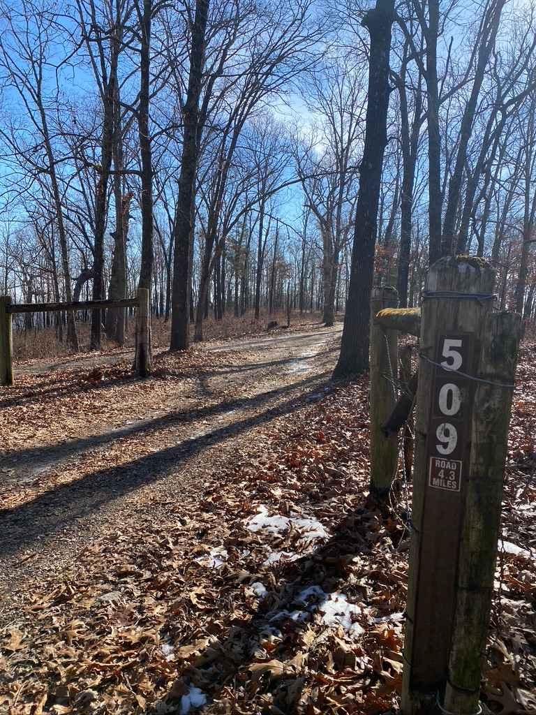
West Fork West - FS 509
Total Miles
2.7
Technical Rating
Best Time
Spring, Summer, Fall, Winter
Trail Type
Full-Width Road
Accessible By
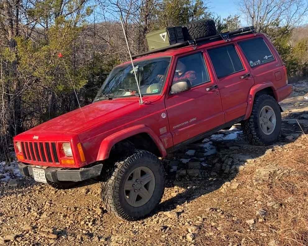
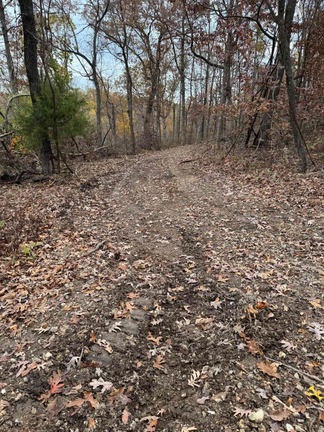
Trail Overview
West Fork West FS 509 is the western portion of the 509 trail, being a natural terrain side trail off the official Glade Top National Scenic Byway within Mark Twain National Forest, Ava Unit. The physical layout and namesake of the West Fork West 509 come from the West Fork Creek, which forms from several branches in the northern hills alongside the trail, then at one midway point crosses the trail from the east to the west side of the trail, where it remains to the south endpoint of the trail at the Hub Tree. The majority of the trail traverses a mild grade leading from the ridgetop where the FS 149 descends to the valley bottoms and West Fork Creek. This drops a total of 500 feet over the 2.8-mile track. Along the way, the trail encounters small rock ledges, natural coarse cobbles/small boulders, moderate depth rutted-out dirt sections, hard-bottomed water collection holes, tight treelines, and small feeder creek water crossings, over a mixed foundational trail of dirt (potential to be thin mud) and natural coarse gravel. This is a fun example of an entry-level technical trail, featuring spots that make the driver pick and choose lines that work for the rig being driven and could yield the potential of being stuck or damaged if poorly navigated. At the southern end of the trail is the Hub Tree, a large circled lot around a lone standing tree at 36.62978, -92.82483. It's a notable spot to disperse camp, take a break, potentially eat, stage vehicles, and then decide what trail is next. If looking for a well-rounded experience of beautiful woodland scenery and the best of Missouri's public trails, look no further.
Photos of West Fork West - FS 509
Difficulty
The West FS 509 has a great range of terrain. On an average day, you'll encounter 18-inch dirt ruts, tight trees, hard-bottomed mud holes, water collection holes, 6 to 18-inch deep creek crossings, 6 to 18-inch rock ledges, and small half-man boulders (10 to 18 inches in diameter)--small off-camber spots within all these obstacles mentioned above. This is all joined together over a foundational mix of dirt, small rock glades (long generally flat slabs), and coarse natural gravel, with sparsely placed cobble rock (mostly 3 to 6-inch blocks, less likely 6 to 10-inch) as the primary surface of the trail. Trees falling over the trail are not an unusual occurrence. Spotting out lines may be required and walking it out if in doubt is wise. This trail is best approached with some former offroading experience and not alone. A good portion of this trail does ride like a 3/10 and has bypasses in several spots. It does feature several 4/10 obstacles, such as the larger ledges being in the 12 to 18-inch range, mild mud, water holes, and creek crossings easily 12 inches deep. Be mindful that the trail has creek crossings that have the potential--with high water--to reach the 5/10 level. There's also a bypassable section of 2-foot walls and rutted dirt erosion. All this said, it's given a mild to medium-demanding 4/10 base rating. As just noted, difficulty could increase in wet and inclement conditions and after heavy use.
History
The Glade Top Trail is a Civilian Conservation Corps [CCC] built road that was designated a Scenic Byway in 1989. Portions of Forest Roads 147, 149, and 150 comprise the trail. The trail follows a series of ridgetops through the central glade area of the White River Hills. The Glade Top Trail is little changed from the original road constructed by the Civilian Conservation Corps in the late 1930s. For twenty-three miles, the two-lane, all-weather gravel road follows narrow ridge tops rising approximately 500 feet above the surrounding rolling countryside and overlooks and passes through many limestone/dolomite glades interspersed with open and closed woodlands. (Sourced from the USDA website.)
Status Reports
West Fork West - FS 509 can be accessed by the following ride types:
- High-Clearance 4x4
- SUV
West Fork West - FS 509 Map
Popular Trails
Long Ridge Road

Green 248

Hercules Tower - FS 154
The onX Offroad Difference
onX Offroad combines trail photos, descriptions, difficulty ratings, width restrictions, seasonality, and more in a user-friendly interface. Available on all devices, with offline access and full compatibility with CarPlay and Android Auto. Discover what you’re missing today!