Sutton Bluff ATV 2 - SB 2
Total Miles
3.1
Technical Rating
Best Time
Spring, Summer, Fall, Winter
Trail Type
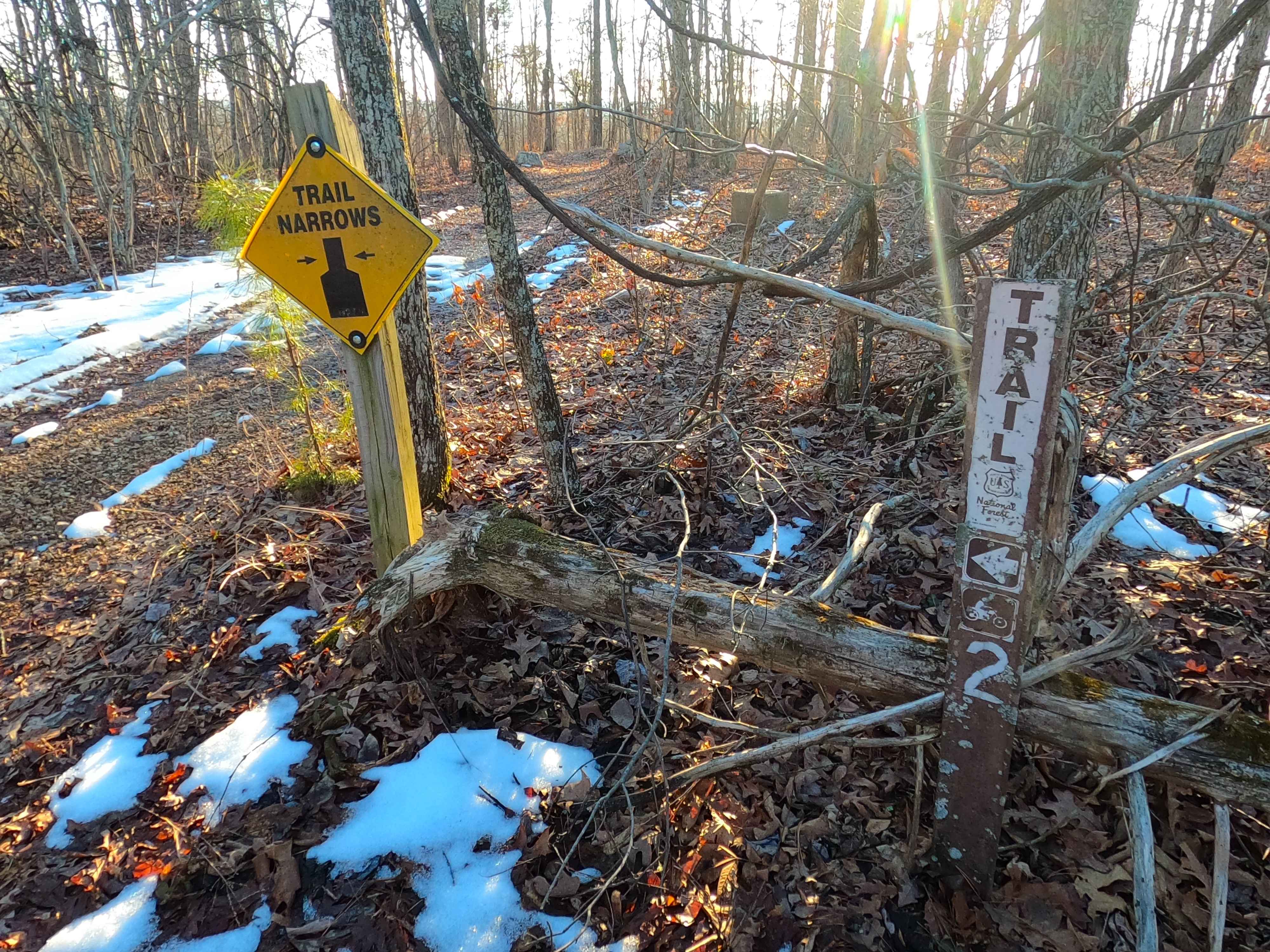
50" Trail
Accessible By
Trail Overview
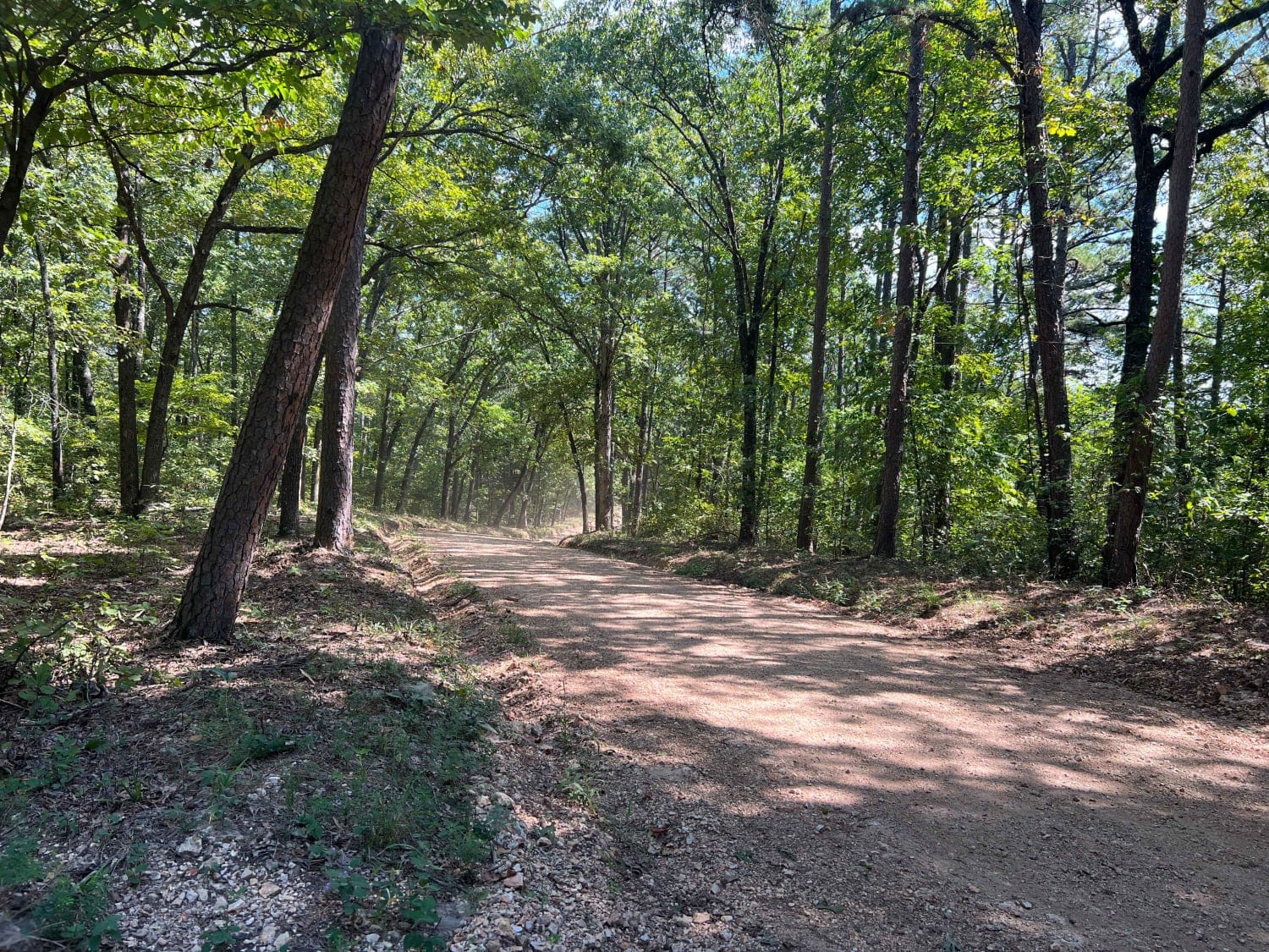
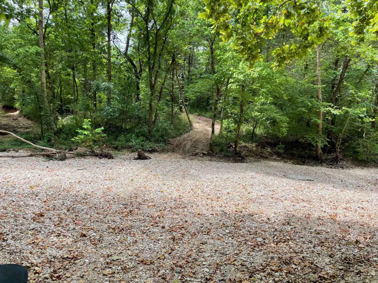
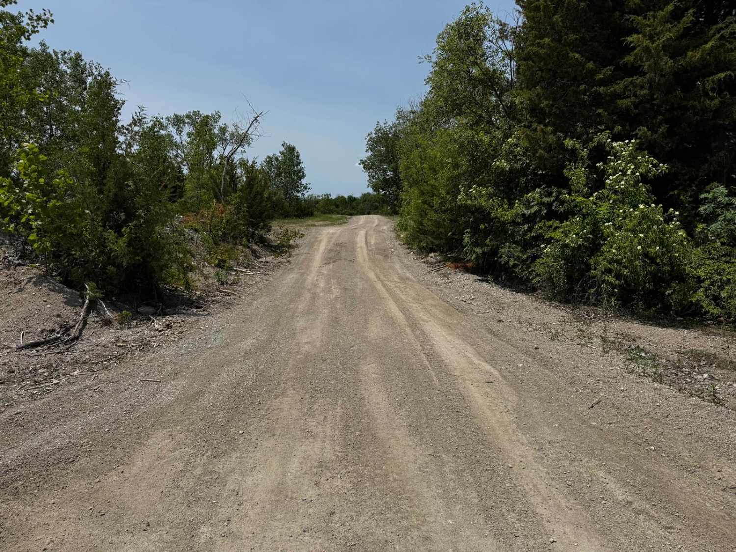
Sutton Bluff ATV 2, also known as Old Tower, with the legal/emergency ID SB 2, is a 50-inch and under restricted trail within the Sutton Bluff OHV trail system, managed by the Mark Twain National Forest Salem Unit. SB 2 is part of the small "center north" section of the Sutton Bluff OHV. From the east trailhead, the SB 2 shortly follows the former full-width track to the former Fire Tower, where it narrows into 50-inch trail width right as it tracks passed the Tower's concrete piers. Summary of the entire track staring at the east trailheads: begins on a ridge top, heading south via switchbacks to the valley, then crosses the valley and creek, turns back north, goes uphill via more switchbacks, to the ridge top, and concludes at the west trailhead. The SB 2's notable core elements include a natural coarse gravel-dirt path, featuring whoops, loose cobbles, mini boulders, natural rock slabs, tree roots, with small water crossings and water collection spots, and 2 wooden bridges that cross over the branch creek that contributes to the West Fork of the Black River. To enjoy this trail and OHV system, obtain the required Sutton Bluff permit from Mark Twain National Forest, and if intending to use an ATV on Reynolds County Roads to commute between trails, obtain the Reynolds County ATV/UTV permit as well, in accordance with Missouri state laws.
Photos of Sutton Bluff ATV 2 - SB 2
Difficulty
The SB 2 is given a base rating of 3/10, for having small 3-12 inch water crossings and water collection spots, with steep grades throughout the majority of the track, occasional small 3-12 inch fallen trees, tree roots acting as mini 3-8 inch ledges, loose 4-10 inch cobbles laying loose in the trail, 10 inch to 18 inch mini boulders and natrual slabs present on edges or mostly buried within the ground as part of the path. Difficulty can increase, from heavy use and a lack of maintenance, large 12+ inch fallen trees blocking the trail, in wet or rainy conditions, inclement weather, or from damage sustained from flash flooding, and if actively flooding, consider the trail closed.
History
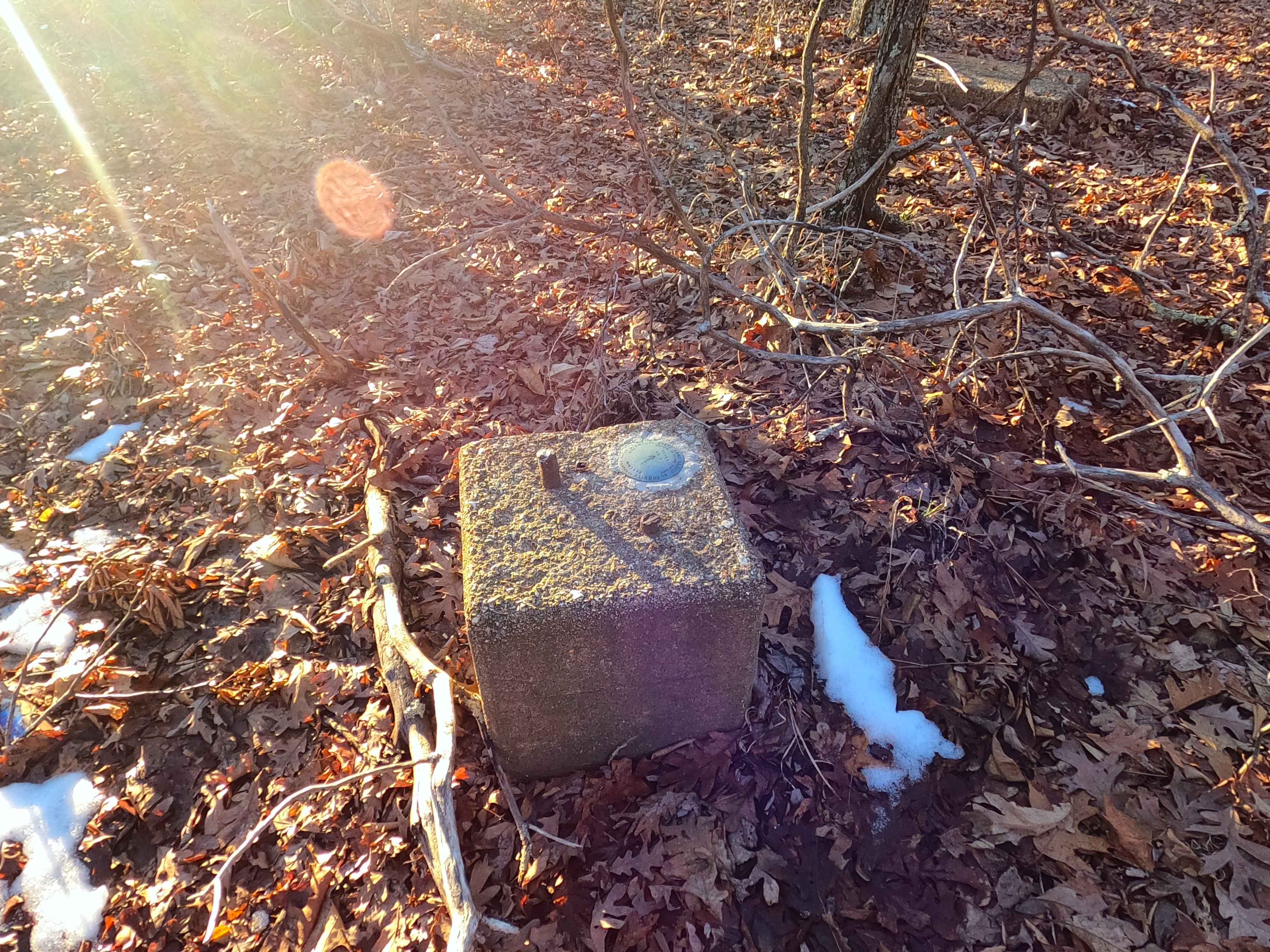
The Black Tower and Oates Tower have some interesting history. The Black Tower was originally constructed west of Black, Missouri, in the early 1930s, and from the directions given in 1939, it would suggest this was located off Karkaghne Scenic Drive at 37.5047, -91.01002. This original tower stood 130 feet tall, according to the National Geodetic Survey, and was the first of its kind in the area to have stairs instead of a ladder to the top. In this location, it was known simply as the Black Tower. Around 1965, the original Black Tower was disassembled, but before this, in 1956, the National Geodetic Survey noted the newer 85-foot-tall Oates Tower was assembled and located 2.3 miles west on Karkaghne Scenic Drive from the Black Tower site. When documented on 2/2026, the Oates Tower site had survey markers present from 1977, located on the original tower piers. This suggests the tower survived up to that point (1977), with more confirmation via the 1971 Rolla Topo map showing the Oates Tower, but by the 1986 edition, it had dropped this designation. The questions left unanswered. Why was there nearly 9-10 years of overlap between the two towers? Or was it really the same tower site location all along, with two towers being built on it over its existence? Lastly, when did Oates Tower truly get disassembled? Documented by Christopher Menz in 2/2026.
Status Reports
Sutton Bluff ATV 2 - SB 2 can be accessed by the following ride types:
- ATV (50")
- Dirt Bike
Sutton Bluff ATV 2 - SB 2 Map
Popular Trails
Smith Branch Trail
FR 1060 - Mary Cole Ridge

Red Oak School - FS 145B
The onX Offroad Difference
onX Offroad combines trail photos, descriptions, difficulty ratings, width restrictions, seasonality, and more in a user-friendly interface. Available on all devices, with offline access and full compatibility with CarPlay and Android Auto. Discover what you’re missing today!