Sutton Bluff ATV 15 West - SB 15
Total Miles
3.6
Technical Rating
Best Time
Spring, Summer, Fall, Winter
Trail Type
50" Trail
Accessible By
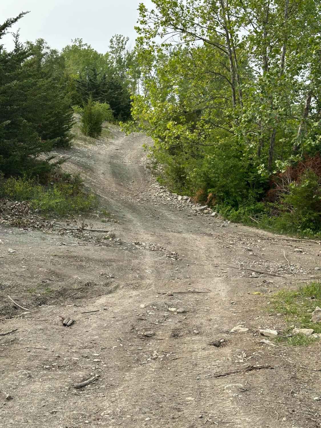
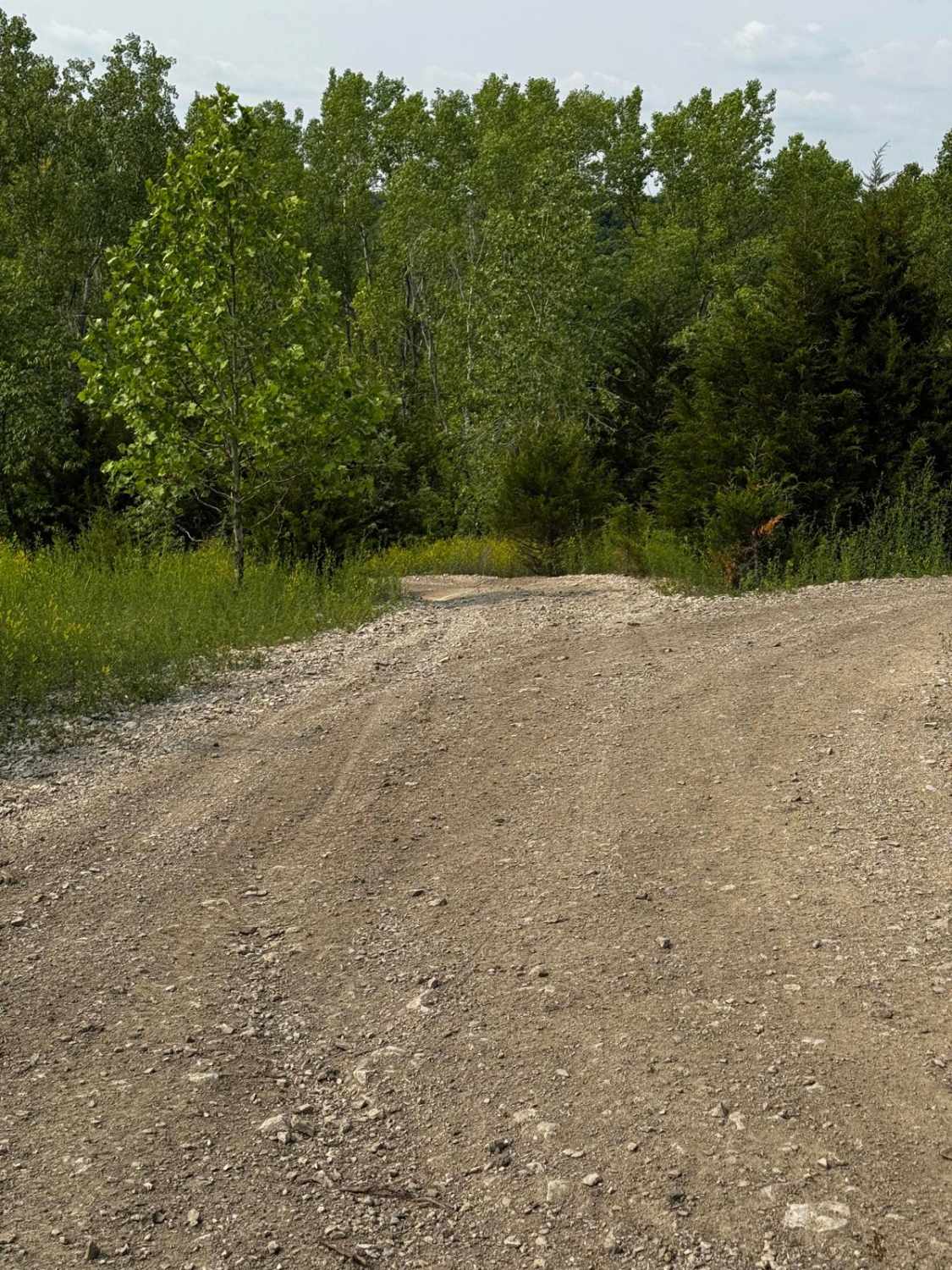
Trail Overview
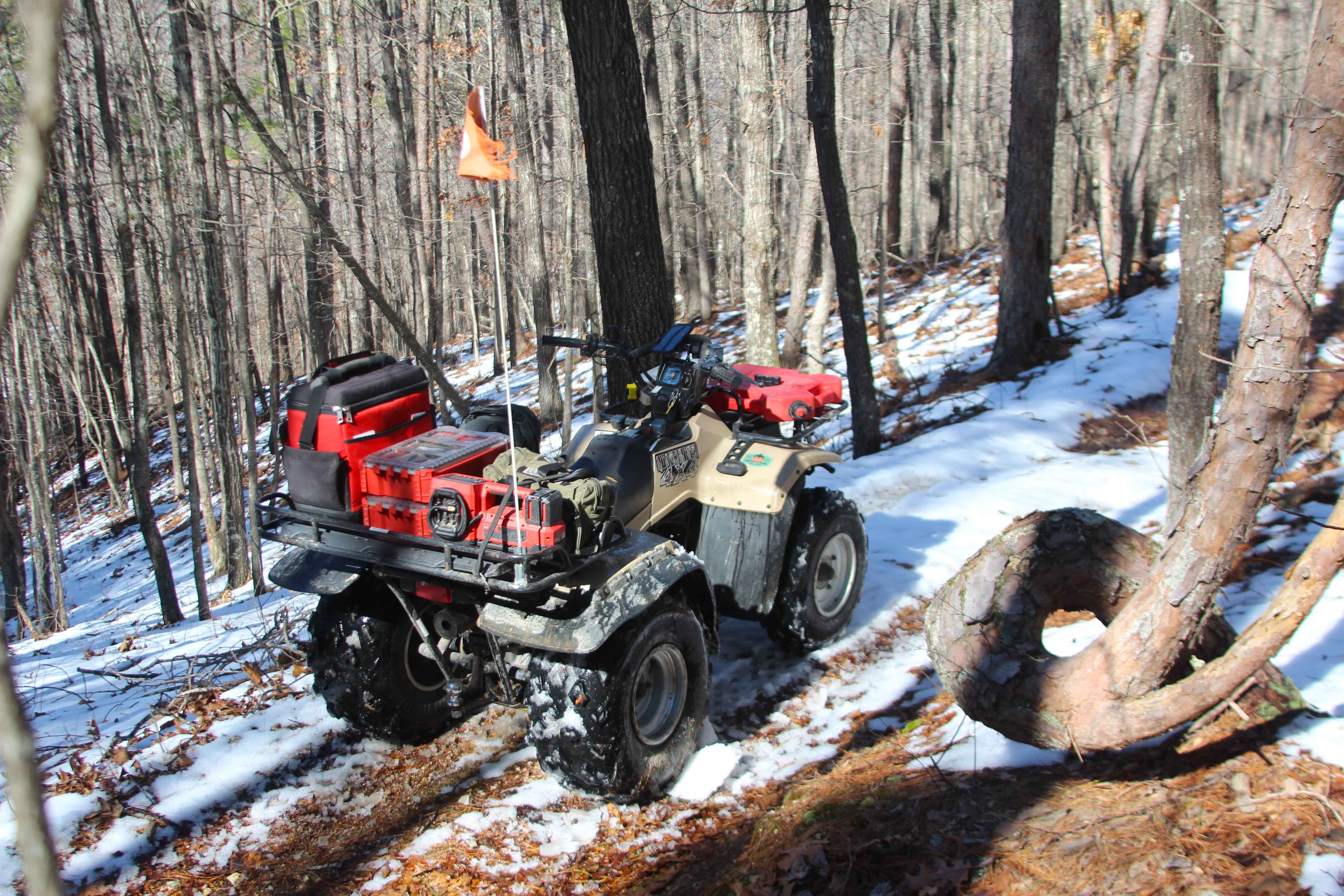
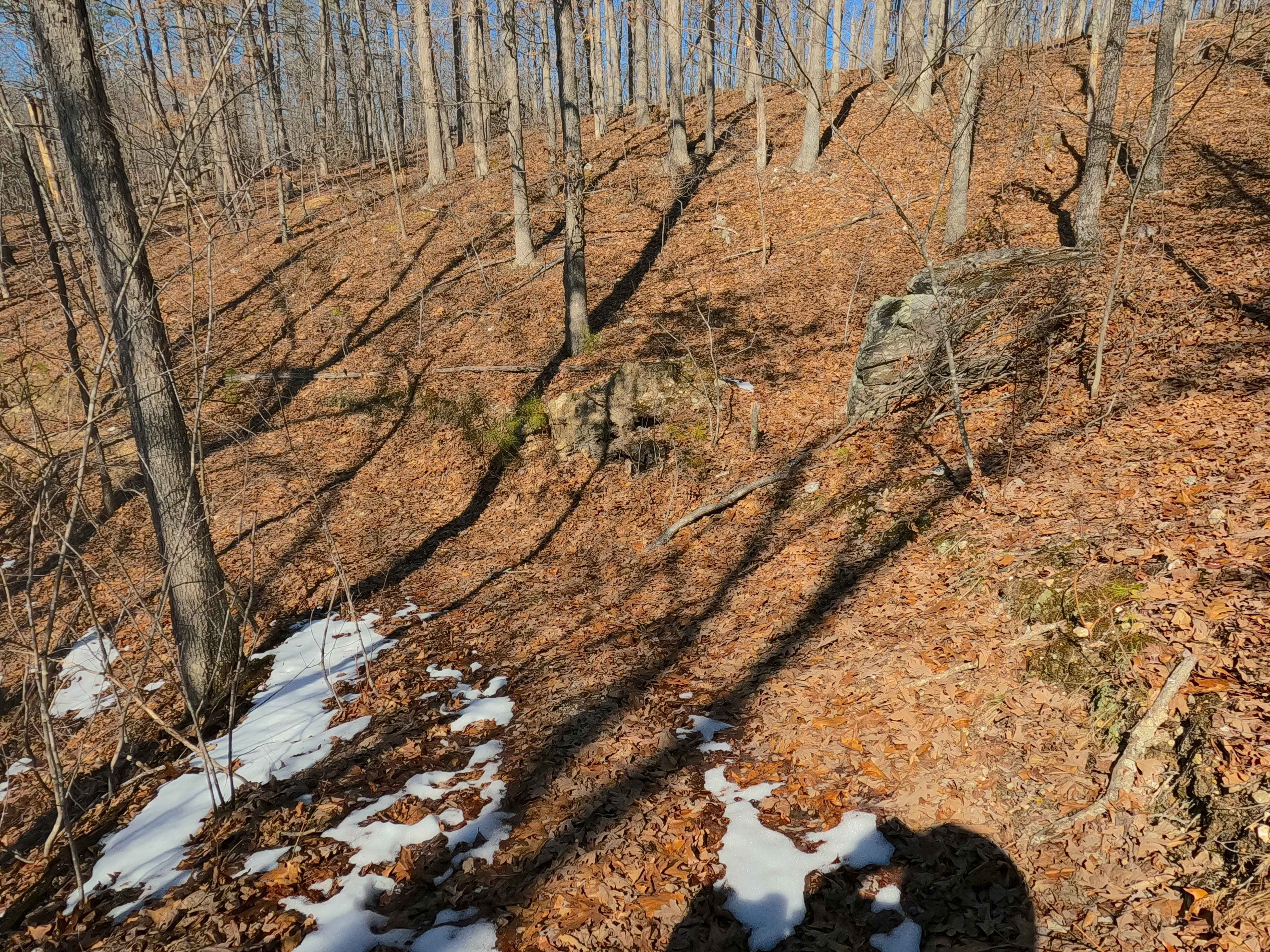
Sutton Bluff ATV 15 (West Section), also known as Twisted Pine, with the legal/emergency ID SB 15, is a 50-inch and under restricted trail within the Sutton Bluff OHV trail system, managed by the Mark Twain National Forest Salem Unit. The SB 15 West is apart of the "far east section" of Sutton Bluff OHV, with the trail logistically orientated as an north-to-south trail, connecting between the SB 5 on the north end to the Turkey Trot FS 2447 on the south end where the split between the SB 15 east is made, this uniquely is the only Sutton Bluff ATV trail to intersect and cross midway with an FS Road in the system. Summary of the SB 5 west trail from north to south, starting at the crossing with the SB 5 placed on the ridge top, with the trail paralleling Karkaghne Scenic Drive southward along the hillside for the first highest elevated section of the trail only having minimal twists and turns and elevation changes, before hitting a hard turn west to drop down a steep hill section to meet the lowest point of elevation of the trail as it turns back south, this marks a transition to the windy section of the southern portion of the trail, first climbing back uphill while heading back northeast, to turning southwest going slowly down hill passing the twisted pine on the east side of the trail, shortly to cross the powerline tract, to meet a tight turning back east climbing uphill to the edge of the powerline tract, where the trail turns north to cross the powerline tract, only to immediately turn southward, crossing the tract for the third time, finally meeting the section of trail that rides along the hillside of the Turkey Trot FS 2447, before slowly turning east going uphill to meet the south end of the SB 15 West in the valley of lowest elevation along the FS 2447. SB 15 West's notable core elements include steep hilly grades and a natural coarse-gravel-dirt path, featuring whoops, loose cobbles, mini boulders, natural rock slabs, tree roots, and small water-collection spots. To enjoy this trail and OHV system, obtain the required Sutton Bluff permit from Mark Twain National Forest, and if intending to use an ATV on Reynolds County Roads to commute between trails, obtain the Reynolds County ATV/UTV permit as well, in accordance with Missouri state laws.
Photos of Sutton Bluff ATV 15 West - SB 15
Difficulty
Trail Submission: The SB 15 West is given a base rating of 3/10, for having small 3-6 inch water collection spots, with a steep grades on the hills of the track, occasional small 3-12 inch fallen trees, tree roots acting as mini 3-8 inch ledges, loose 4-10 inch cobbles laying loose in the trail, 10 inch to 18 inch mini boulders and natrual slabs present on edges or mostly buried within the ground as part of the path. Difficulty can increase, from heavy use and a lack of maintenance, large 12+ inch fallen trees blocking the trail, in wet or rainy conditions, inclement weather, or from damage sustained from flash flooding, and if actively flooding, consider the trail closed.
Status Reports
Sutton Bluff ATV 15 West - SB 15 can be accessed by the following ride types:
- ATV (50")
- Dirt Bike
Sutton Bluff ATV 15 West - SB 15 Map
Popular Trails
West Boundary FR 1672
Stockman - FS 498
The onX Offroad Difference
onX Offroad combines trail photos, descriptions, difficulty ratings, width restrictions, seasonality, and more in a user-friendly interface. Available on all devices, with offline access and full compatibility with CarPlay and Android Auto. Discover what you’re missing today!