Snapps Hollow - FS 2698
Total Miles
1.0
Technical Rating
Best Time
Spring, Summer, Fall, Winter
Trail Type
Full-Width Road
Accessible By
Trail Overview
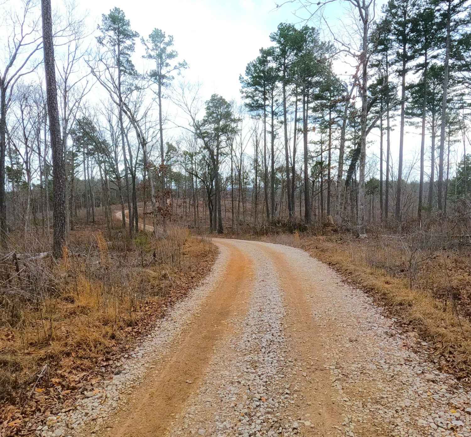
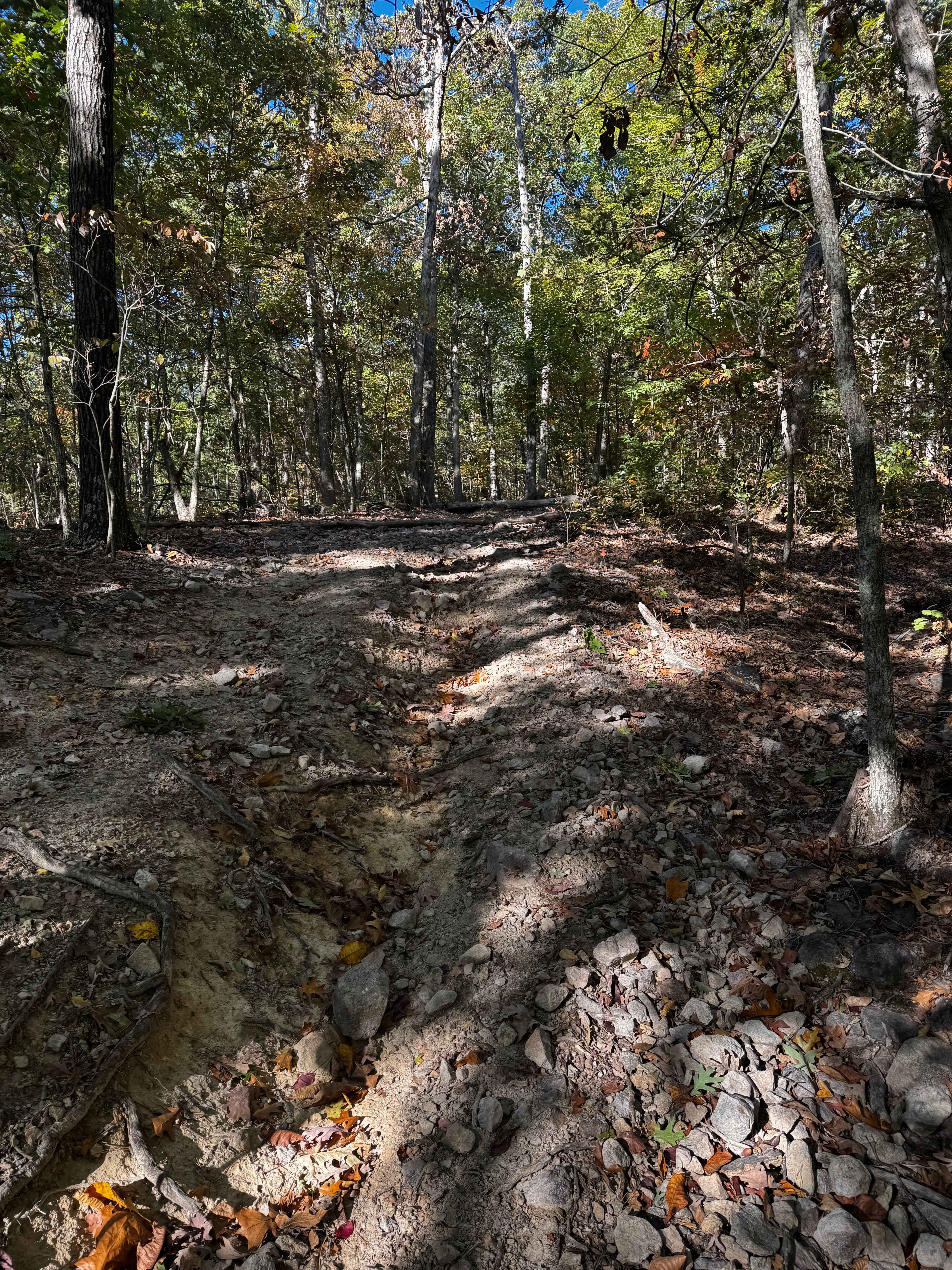
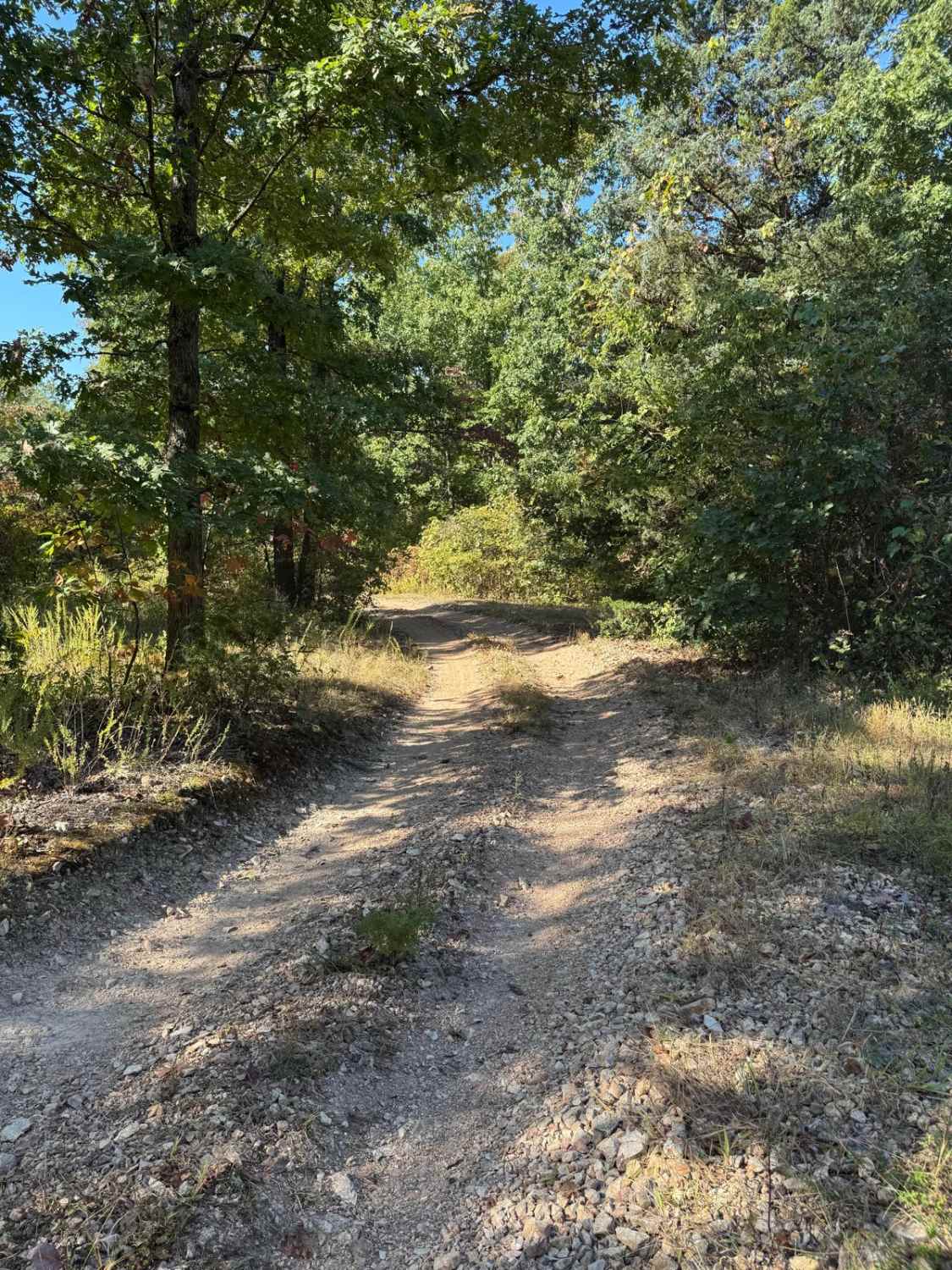
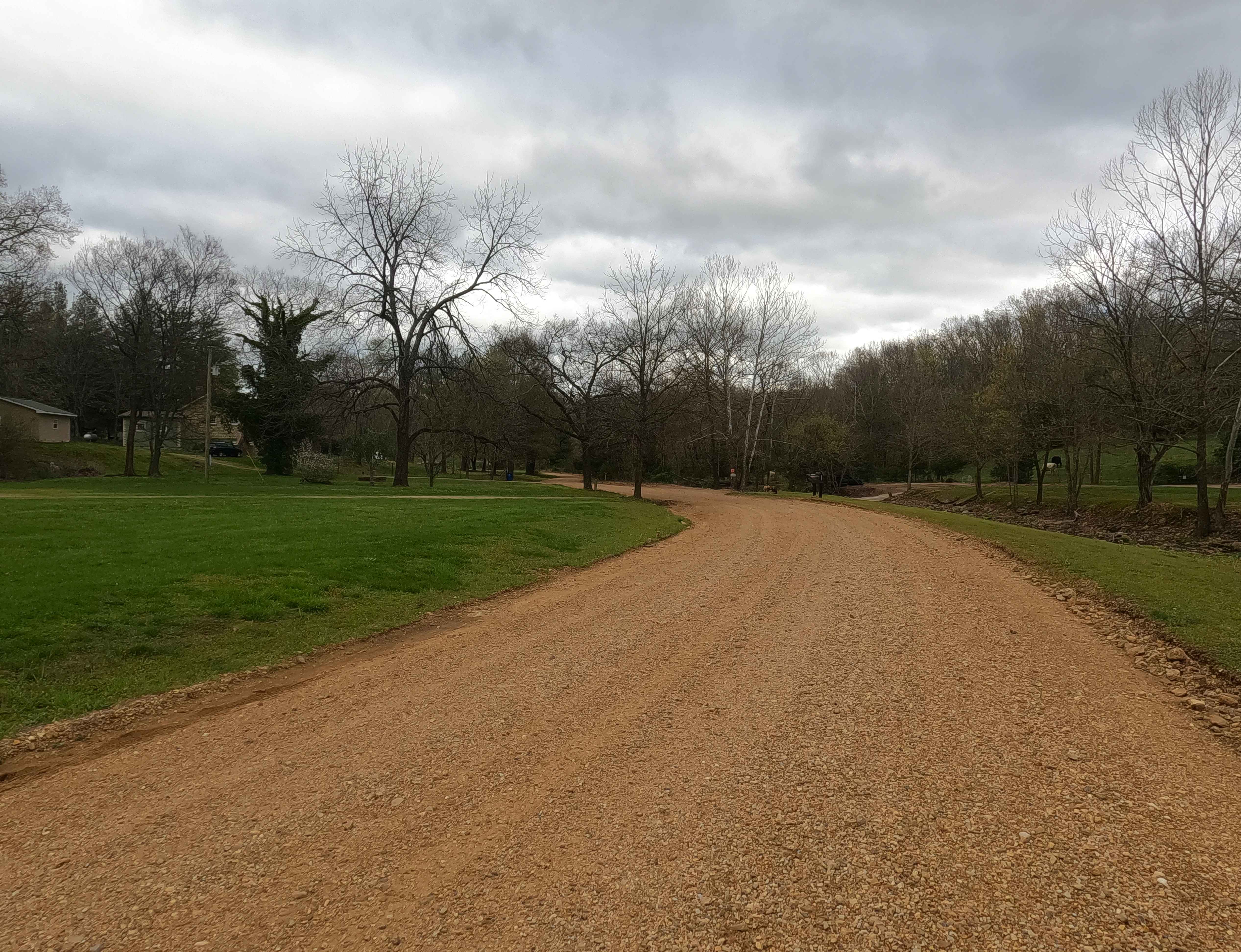
Snapps Hollow FS 2698 is a gravel road within the Pigeon Roost Road area of the Potosi Unit of Mark Twain National Forest. It features a track going south where it branches off the Pigeon Roost Road, following the spines of the ridge top that it rests on, passing recent timber logging activity of the shortleaf pines that Mark Twain is known to grow at a rapid pace. The trail ultimately leads to a crossing with the Ozark Trail, providing access and logistics to get onto the hiking trail. At the southern endpoint there is a small parking lot to use to turnaround and head back the way the road was entered, note there is also a spur off this endpoint lot leading to private land, it has signage posted limiting access.
Photos of Snapps Hollow - FS 2698

Difficulty
The FS 2698 is given a base rating of 1/10 for having a generally maintained gravel road, only featuring small hill inclines on the road. Expect the normal gravel complications of washboarding, potholes, and mounding of gravel. In wet conditions, small time water collection can occur, but it is nothing more than a splash, only in extreme cases would difficulty increase.
History
When looking to the west of what seemingly is the (currently 3/2025) closed FS 2767, and to the east of the Snapps Branch FS 2698, is an old lead digging mine called the English Lead Diggings, according to the State Historical Society of Missouri began in roughly 1855, as a 1/4 part of the greater Fourche a Courtois Mines ultimately west of Palmer, MO. When looking into the old topos of the area the 1943 Berryman and Courtois, MO maps suggest that there once was quite the network of trails between what are now the Boiling Ridge FS 2099 and Snapps Hollow FS 2698, suggesting some large form of activity in the area, looking at the following timeline of maps this network quickly goes un-noted until the FS 2698 and FS 2099 begin to show in between 1989 and 1999 when the Mark Twain Forest Service started to acquire the land directly off Pigeon Roost Road. Of all sources used, OnX Offroad led to the next lead, the Picayune Lead Diggings are noted at 37.87738, -91.02136 on the current 3/2025 version of the map. Under this name is the history we were looking for, according to the State Historical Society of Missouri there were two mines named Picayune Lead Diggings. The name Picayune normally referred to a pre-Civil War era small Spanish coin that was used in the United States, this led to the term being applied to anything of slight value or trifling importance. So one mine fit the name yielding near no significance, the second mine being the one between the two FS roads in question, according to the SHSMO, "doubtless named for the same reason" as mine number 1. The Picayune Lead mine local to the trails was discovered in 1836 and referred to as being one half-mile from a Talbot Lead Diggings though no research could find more information on Talbot, other than it was created in "about" 1857 and was under a personal name. Nonetheless, the network of old marked roads between the FS 2698 and FS 2099, must have been part of the mine in the 1943 maps, and now nearly 200 years after the mines start, are probably even erased by nature as well. Researched and documented by Christopher Menz, 3/2025.
Status Reports
Snapps Hollow - FS 2698 can be accessed by the following ride types:
- High-Clearance 4x4
- SUV
Snapps Hollow - FS 2698 Map
Popular Trails
Big Oooof
Yellow 18
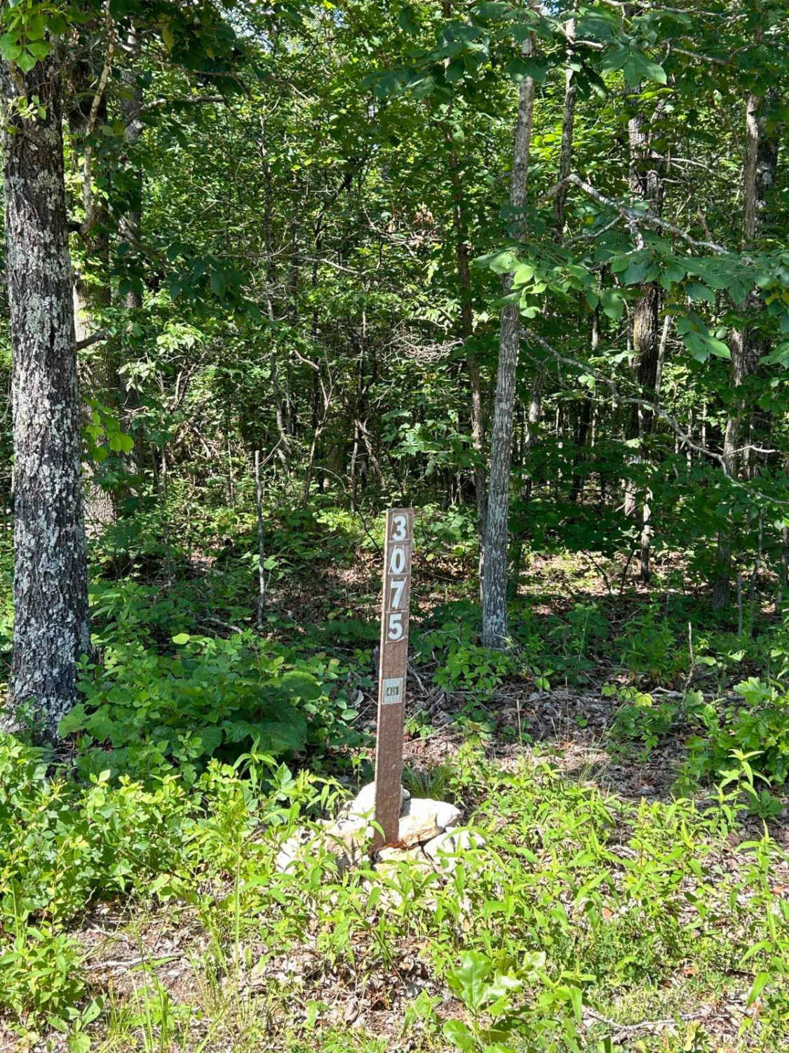
Kelly Ridge- FSR 3075
Mayfield Road - BCR 356
The onX Offroad Difference
onX Offroad combines trail photos, descriptions, difficulty ratings, width restrictions, seasonality, and more in a user-friendly interface. Available on all devices, with offline access and full compatibility with CarPlay and Android Auto. Discover what you’re missing today!