Mid Ridge Road
Total Miles
4.4
Technical Rating
Best Time
Spring, Summer, Fall, Winter
Trail Type
Full-Width Road
Accessible By
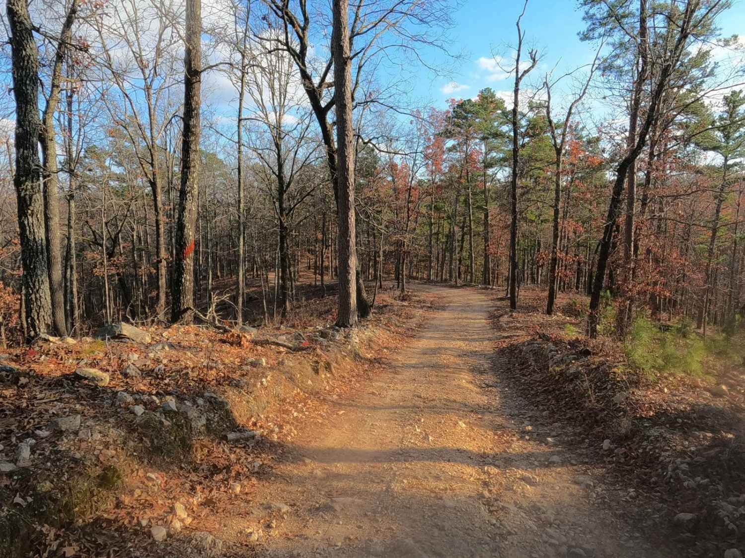
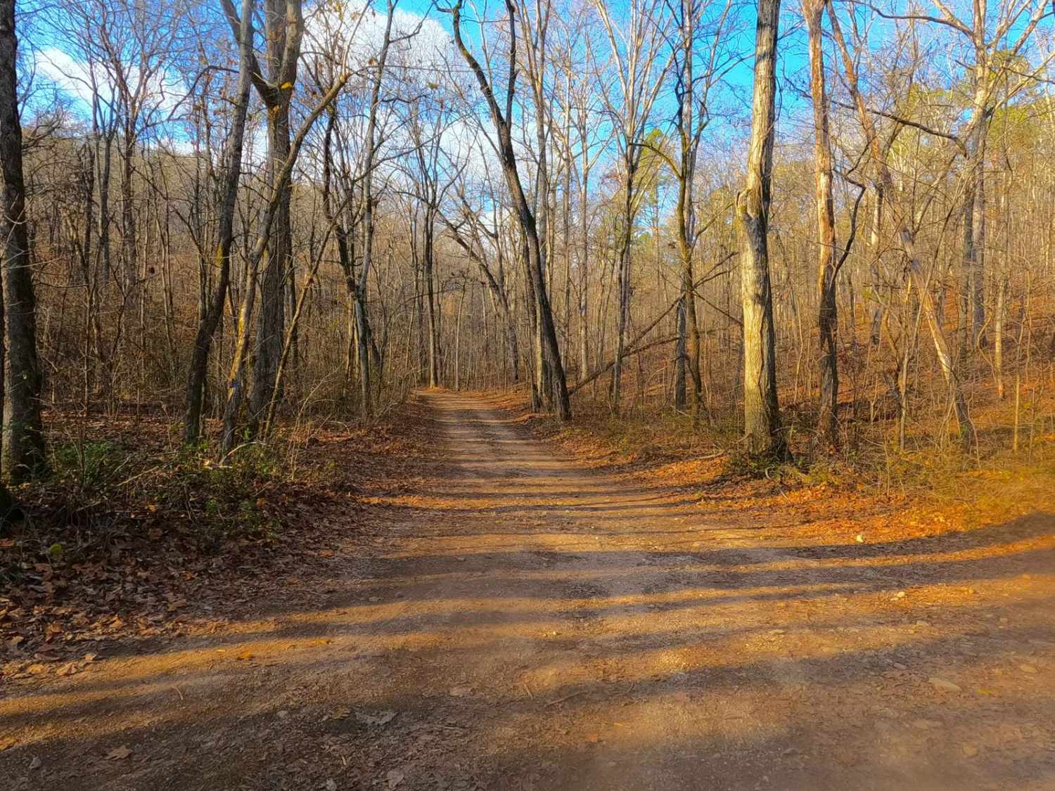
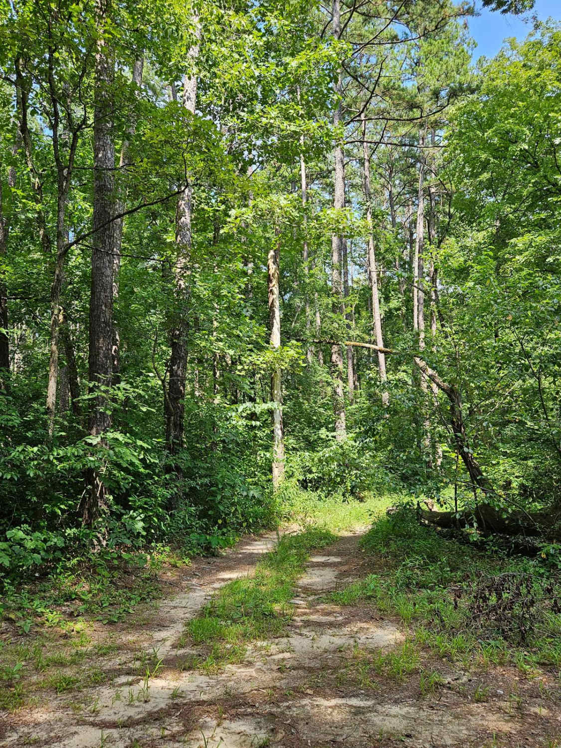
Trail Overview
Mid Ridge Road is a natural coarse gravel and dirt-based road within the Roger's Creek Natural Area, Missouri Department of Conservation Land. The road begins at the bottom of the Current River Valley, just northwest of Van Buren, MO. It quickly elevates from the entry off Carter County Road 151, climbing one long, moderate grade hill towards the ridge tops, featuring mild active erosion, loose coarse base gravel, and small rock cobbles in the track. Once on the ridge tops, the track rides the spine of the ridge, still encountering smaller, mild-moderate grade hills, with mild erosion, exposed coarse base rock, and cobbles in the track. Along the track, there is several cutouts and small spur roads to use for other activities such as hunting, in appropriate seasons, camping year-round, or simple to hike and enjoy the natural beauty of this ridge, there is also signage referring to the natural wonders of the forest and animals in the Missouri Ozarks region. Mid Ridge Road ends at a T intersection on the north side, left/west goes towards the greater Peck Ranch area, and right/east plunges deeper into Kelly Hollow or Roger's Creek Natural Area.
Photos of Mid Ridge Road
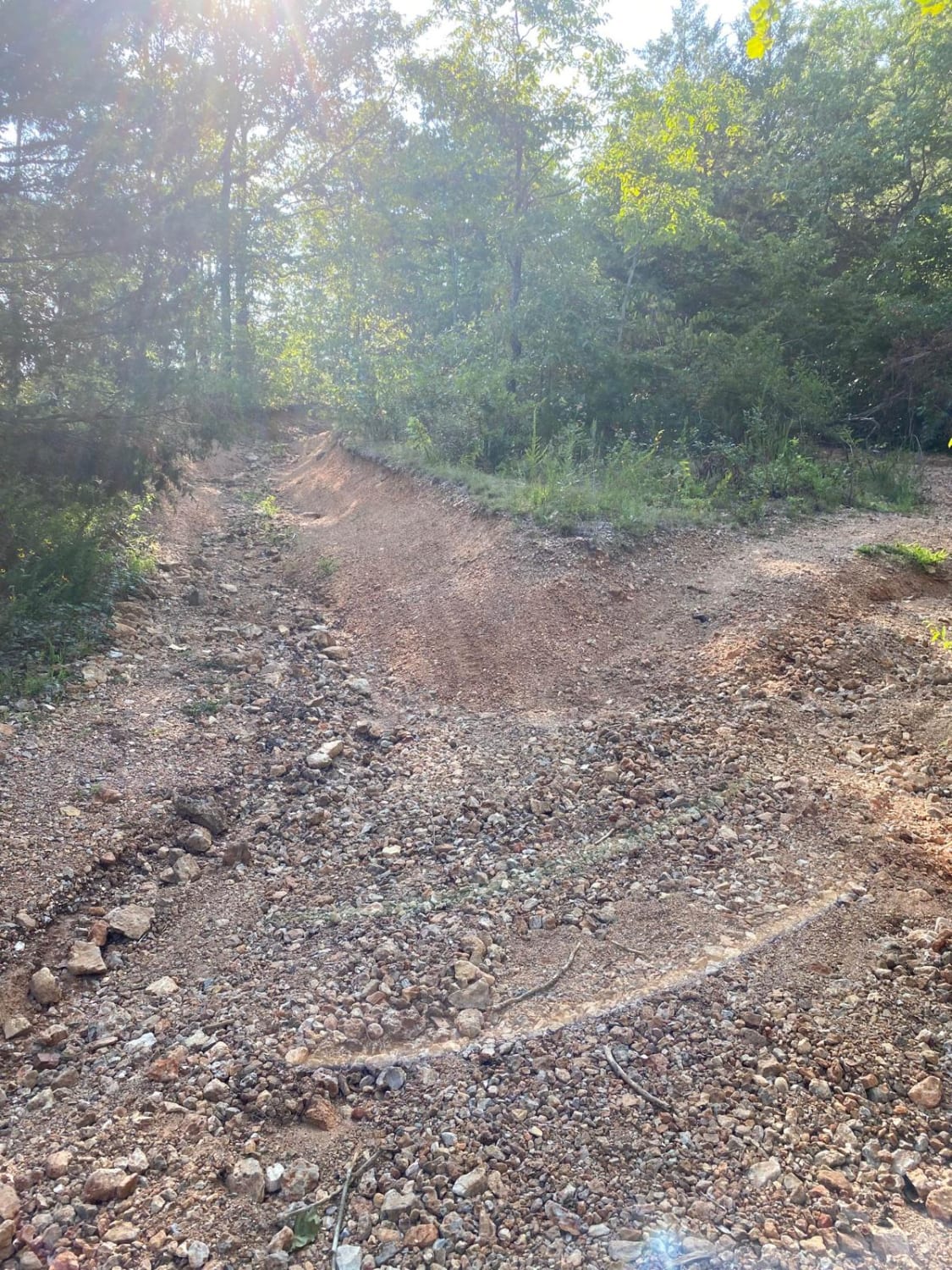
Difficulty
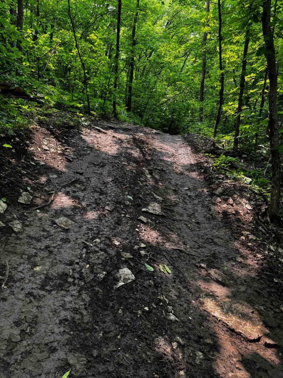
Mid Ridge Road is given a 2/10 base rating for the mild active erosion found on the road, having several points traction could be lost in 2WD, paired with moderately steep grades on the hills, with coarse loose natural gravel (1.5" to 2" rock in collection areas), natural cobbles laying throughout the track (4"-10" Rocks), and lastly an occasional exposed natural rock pushing through at the road surface. Expect all the normal gravel road complications in potholes, washboards, and mounding along the track at minimum. Difficulty could increase in season of heavy use, lack of maintenance, and or wet conditions, it also would not be too far of stretch to see the road drop in rating if it were to be mended and improved with fresh 1" chat (gravel) throughout, but with time the rain water would likely create the erosion spots again.
History
Using old topo maps of the area, a 1965 Van Buren, MO topo shows no road where Mid Ridge now exists, yet by the 1986 Edition of the Spring Valley, MO topo does then show the road. This isn't the most interesting part, rather what the area is called in these maps, in those 1965 and 1986 topos called the Beal State Forest, in the Van Buren 1997 topo called the Beal State Conservation Area, and lastly being removed from the map entirely by the 2011 edition of Van Buren, MO. Then this is where the road's mystery begins, in the Van Buren 2015 topo road is named Mid-Ridge Road (with the dash) for the first time, but two years later, in the 2017 edition, it is erased (name and track), followed by the same in 2021. Yet, it is still in the 2024 edition of the Carter County Map as Mid Ridge Road (no dash) existing both in name and in track.
Status Reports
Mid Ridge Road can be accessed by the following ride types:
- High-Clearance 4x4
- SUV
Mid Ridge Road Map
Popular Trails
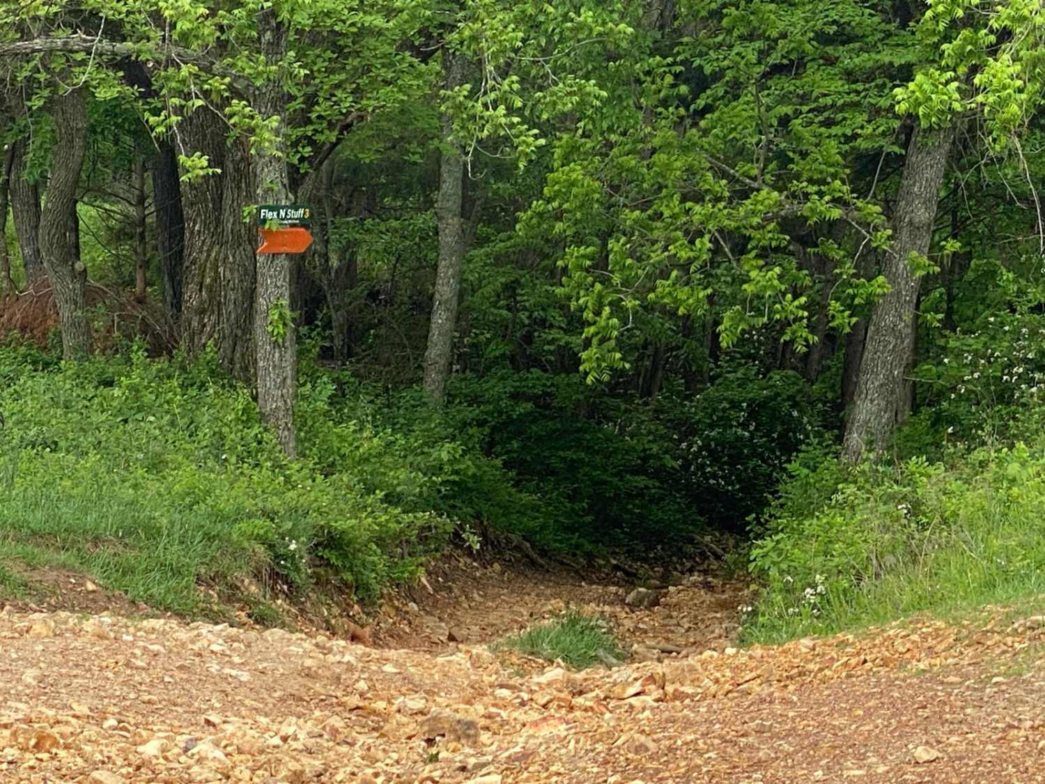
Flex N Stuff
Boom Hole Access - FSR 3155B
Parole Dam Trail
The onX Offroad Difference
onX Offroad combines trail photos, descriptions, difficulty ratings, width restrictions, seasonality, and more in a user-friendly interface. Available on all devices, with offline access and full compatibility with CarPlay and Android Auto. Discover what you’re missing today!