Mayfield Road - BCR 356
Total Miles
3.8
Technical Rating
Best Time
Spring, Summer, Fall, Winter
Trail Type
Full-Width Road
Accessible By
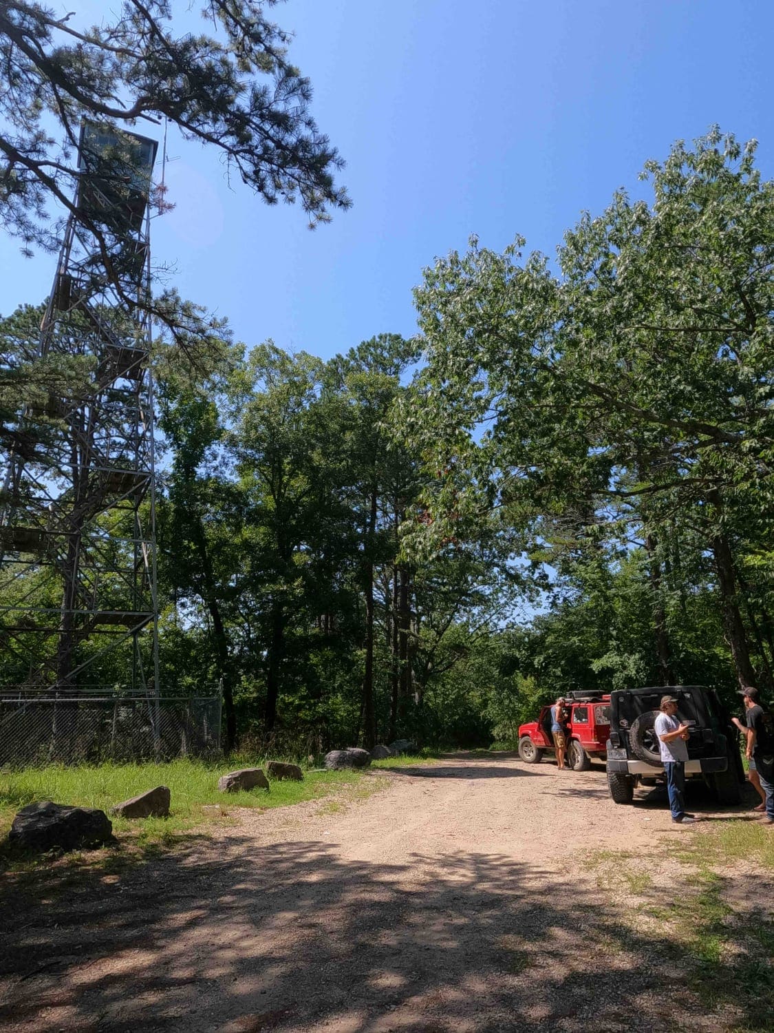
Trail Overview
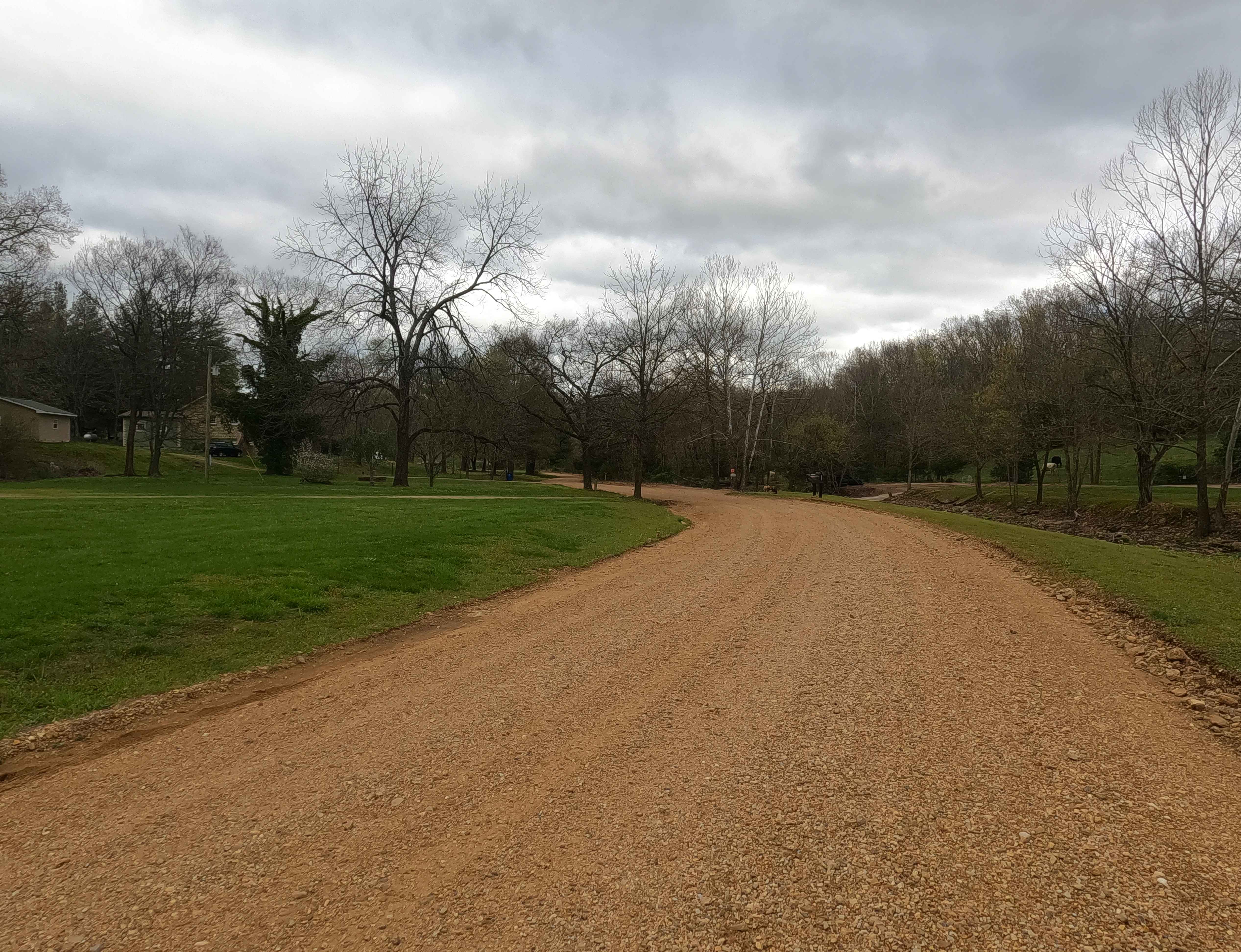
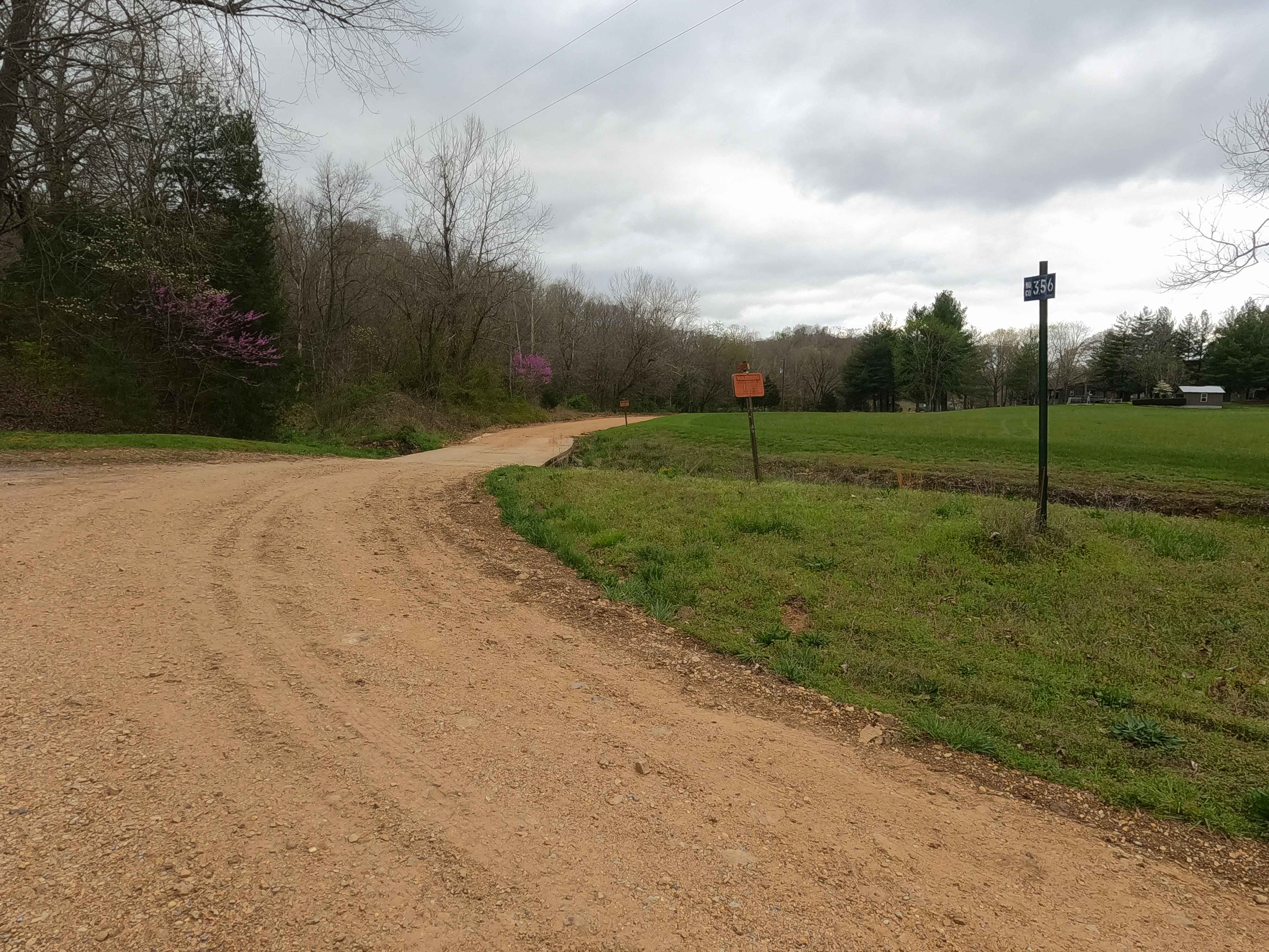
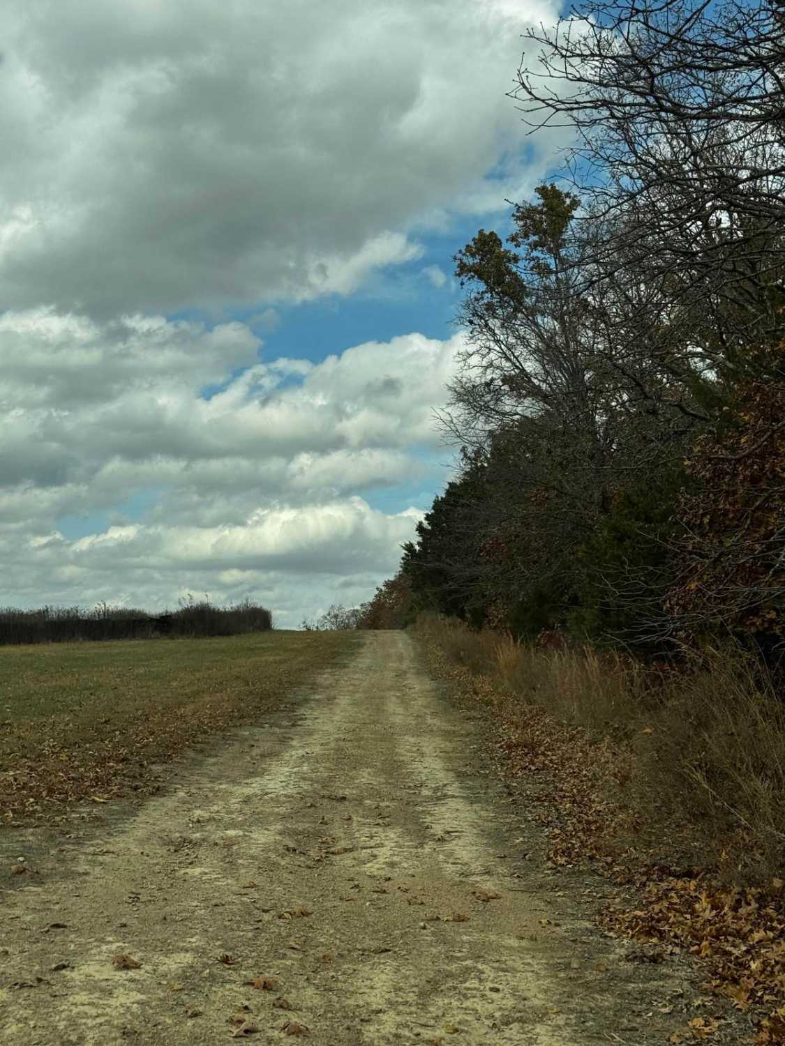
Mayfield Road, also known as the Bollinger County Road 356, is a coarse-gravel road traversing the hills of the southeastern Missouri countryside. The road logistically connects Missouri Route 72 on the north end to the village of Mayfield, MO, and Missouri Route JJ on the south end. In typical Bollinger County fashion this countryside road starts with maintenance on the ends and shows its character towards the middle, less-used section, featuring nothing less than coarse orange gravel, washboarding, potholes, mounding, and a low water bridge crossing at Little Whitewater Creek. This road also has potential sections of the road that turn to dirt, surface mud when wet, loose rock cobbles, and natural rock poking out at the road surface. A great alternative to taking Missouri Route 72 or Route 51, or for simply connecting to more Bo-Co roads.
Photos of Mayfield Road - BCR 356
Difficulty
Base Rating for this road is 2/10. The difficulty of the area is constantly changing based on two things: how wet it is and how neglected the road is. This is a great example of a road that can swing from 1/10 stable and easy to ride, versus a wet and subtle challenge crossing 6-12" of water, being a 3/10 rating. The biggest concern would be flash flooding in the event of heavy rains or a constant, very wet season, resulting in a high potential of crossing water at the low water bridge, and washed loose gravel, with potential ruts on the hills.
History
Looking at 1930s Marble Hill, Missouri topo maps suggests that before the county road numbering system was implemented, the main Mayfield Road through the area actually used the southern half of the modern 356, and at the fork at 37.47733, -89.93177, then followed the modern 372 north to Route 72, in fact, the easier bend at this fork is turning right to continue north onto 372. Why didn't the 356 follow the historic main route in the area? This might be answered by the common naming style of roads in the area, either after the water Ford name, or destination, in this case, the 356 crosses the Whitewater Creek and goes to Mayfield, while the 372 crosses the Little Muddy Creek, thus giving it a unique Identity, where if the main road crossed both Fords, what would the northern half of 356 with no ford or destination be called? That just seems to be how the Bollinger County Roads flow and get named. Documentation done by Christopher Menz 10/2025.
Status Reports
Mayfield Road - BCR 356 can be accessed by the following ride types:
- High-Clearance 4x4
- SUV
- SxS (60")
Mayfield Road - BCR 356 Map
Popular Trails
Hangover Hill 123
Funk Tower Road
Camp Loop 5
The onX Offroad Difference
onX Offroad combines trail photos, descriptions, difficulty ratings, width restrictions, seasonality, and more in a user-friendly interface. Available on all devices, with offline access and full compatibility with CarPlay and Android Auto. Discover what you’re missing today!