Mann Cemetery Road
Total Miles
0.6
Technical Rating
Best Time
Spring, Fall, Summer, Winter
Trail Type
Full-Width Road
Accessible By
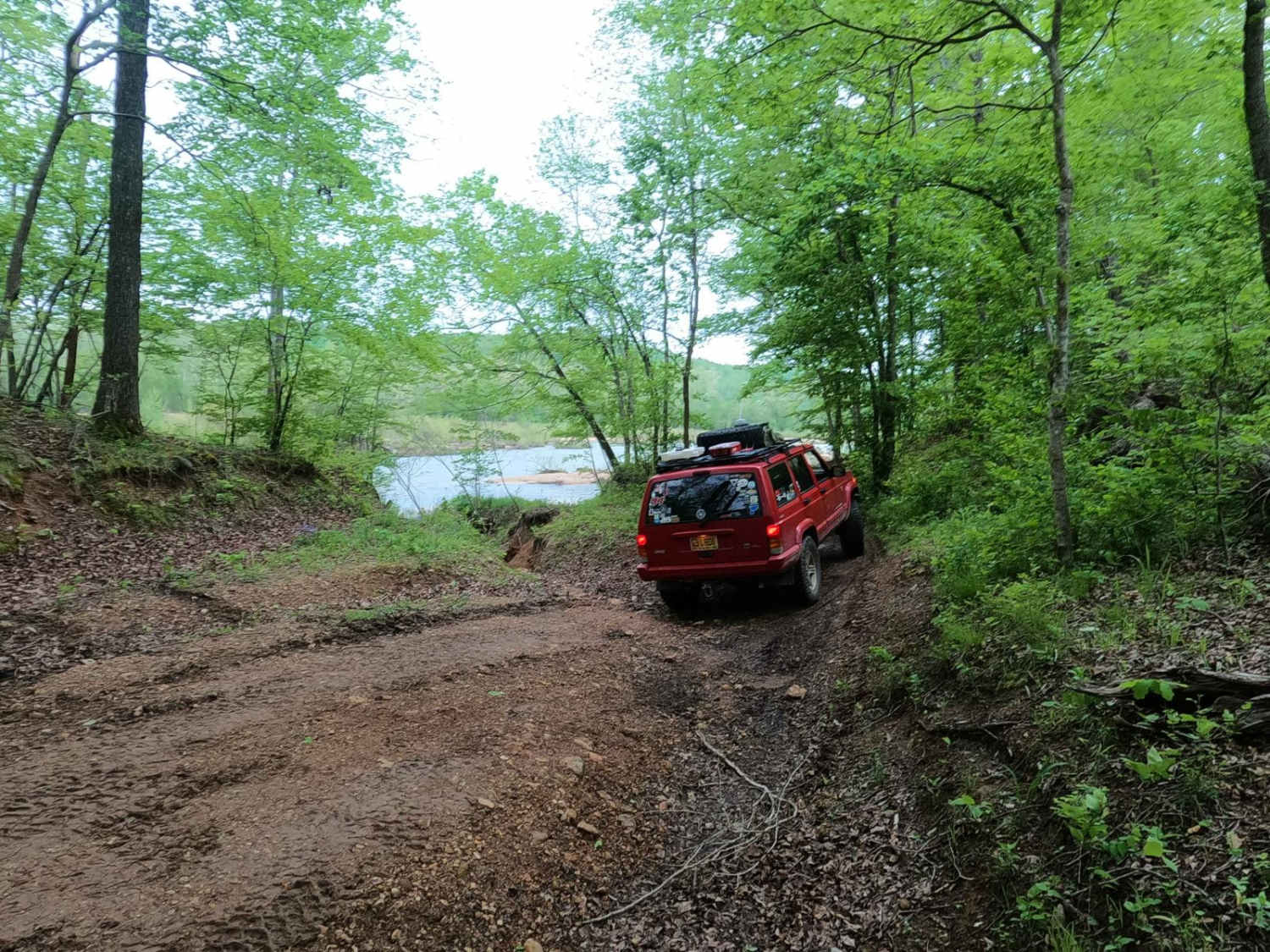
Trail Overview
Mann Cemetery Road, or Reynolds County Road 456, is a coarse gravel road transforming to a natural dirt road in the northern portion of the Black River Bottoms area within the Clearwater Lake U.S. Army Corps of Engineer Land. This road features views of the valley surrounded by the rolling hills of the area slowly fading into the river bottoms to the west. It starts as a maintained road, deteriorating rapidly, featuring erosion rutting and potential surface mud before meeting the dead end overlooking the river. The Mann Cemetery Road is the local access road to residents, but ultimately leads to the Mann family cemetery found at 37.30376, -90.77808 and the river edge dead-end camp spot just past the cemetery at 37.30538, -90.77813. It's a great road to know if you want to camp with 1 or 2 rigs. It's easy to get to, pay respects to those who came before us, and enjoy a peaceful glimpse of the river before heading into (or out of) the depths of the bottoms to the south.
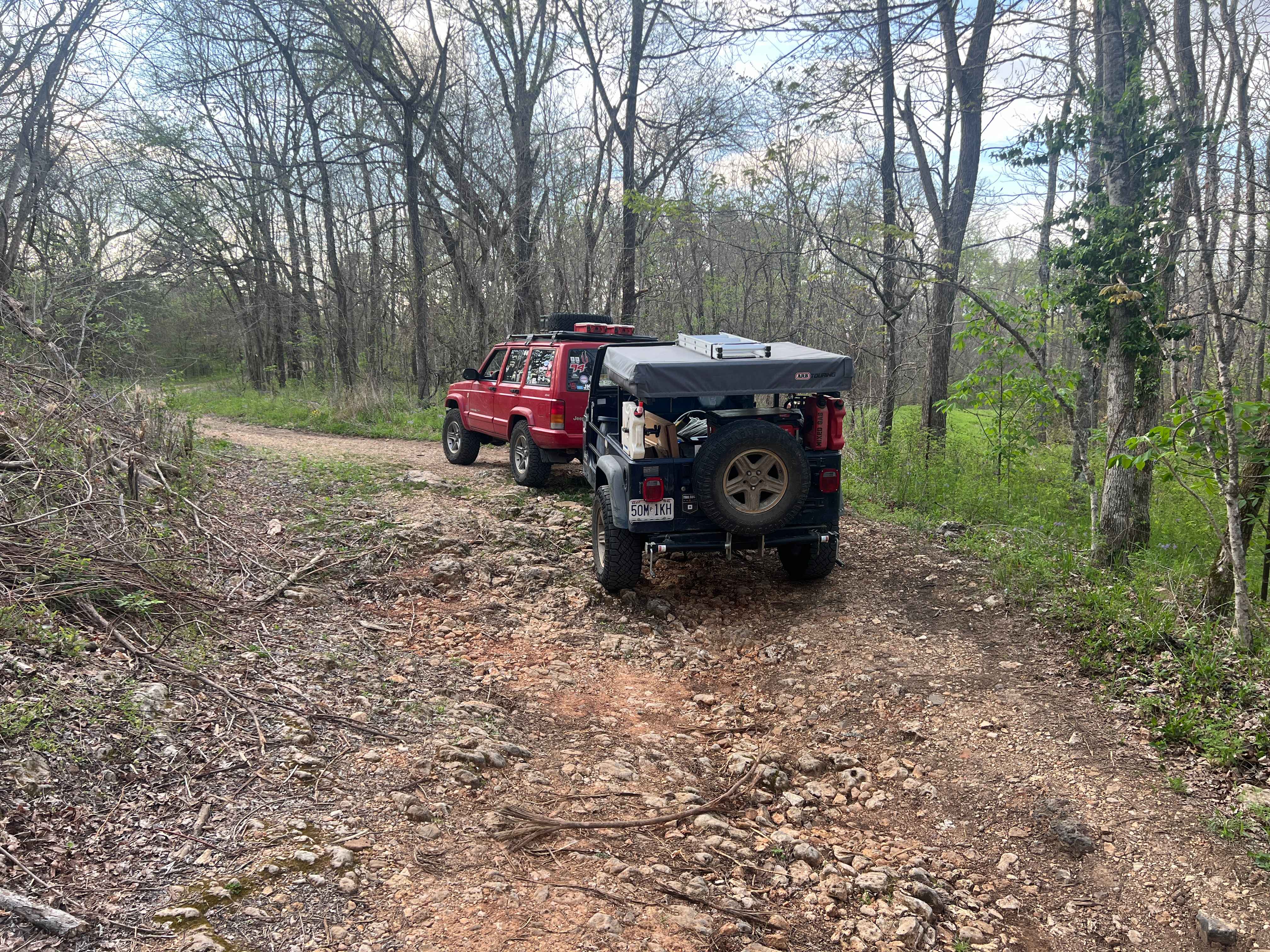
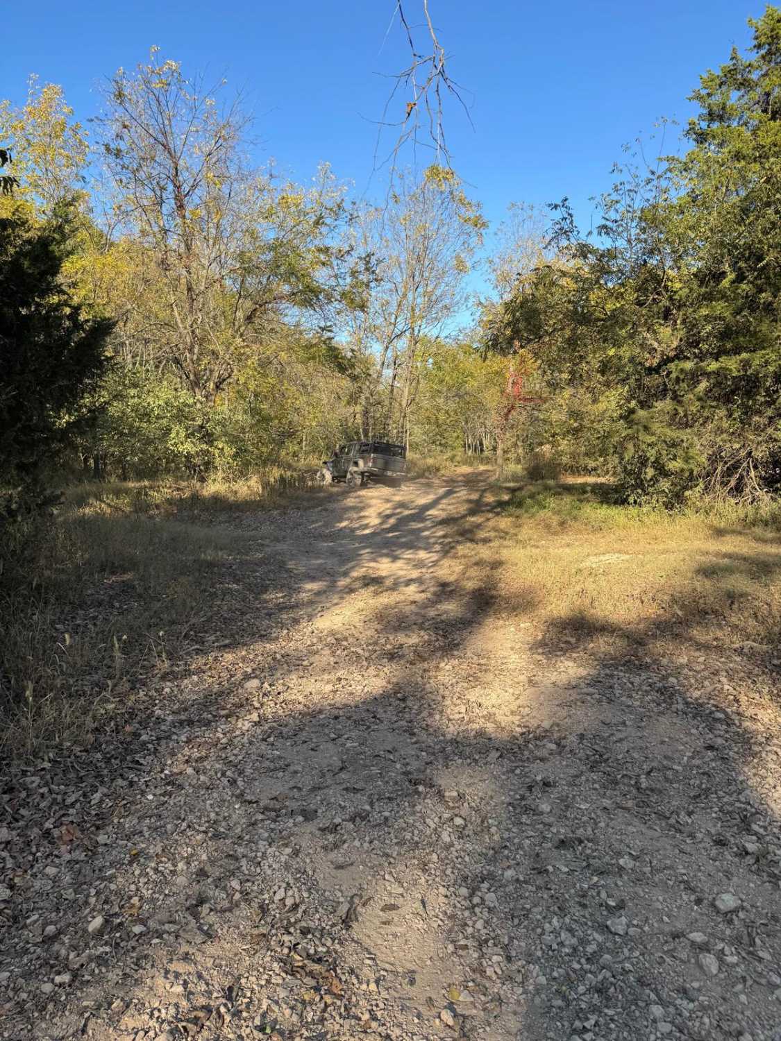
Photos of Mann Cemetery Road
Difficulty
The Mann Cemetery Road is very simple. The main portion of this road is a maintained 1/10 gravel road featuring coarse gravel, with washboarding, potholes, and mounding in times of heavy use in between maintenance cycles. The given 2/10 base rating comes from the section of the road that goes from the cemetery to the river, as it features a natural dirt and gravel road with deep erosion rutting and potential mud on a mild grade downhill towards the river. This could require the use of 4WD to comfortably drive in and out. This spot has the potential to be mended and dropped down to a 1/10 rating or could erode further and yield an even greater difficulty.
History
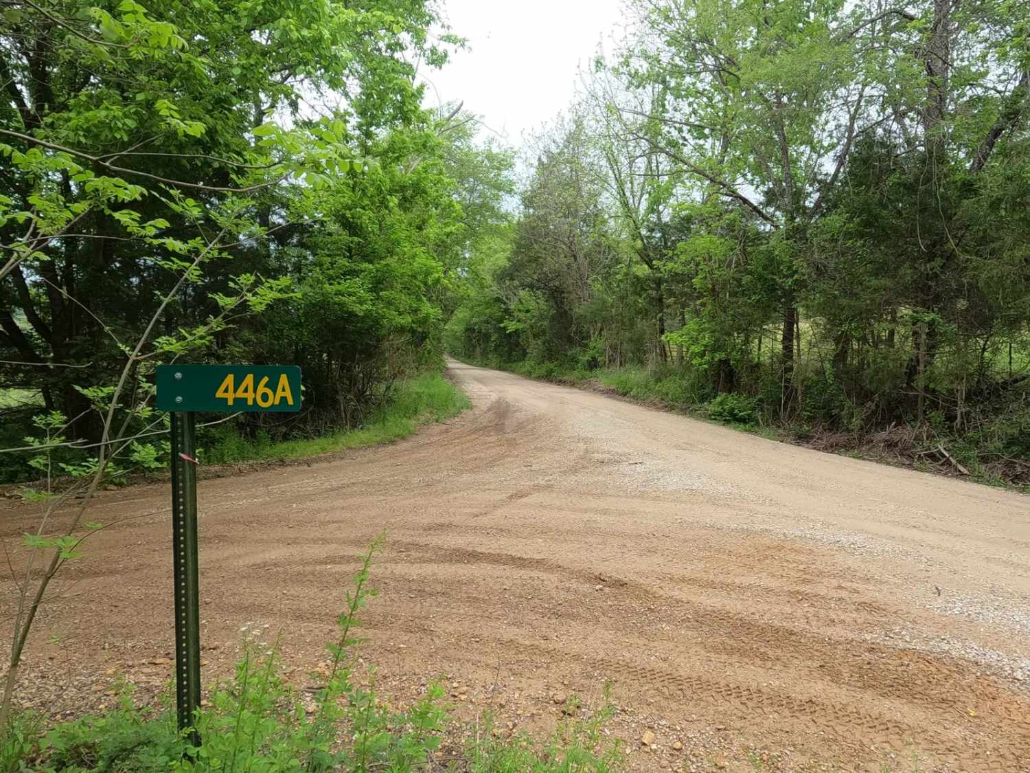
Yearly in May, the Mann Family throws a family reunion at the cemetery and celebrates together with a family kayak ride down the river from the launch point of the dead-end campsite just past the cemetery. Please respect the Mann family's cemetery and leave the area better than it was found. Relatives of this family include the surnames attached to landmarks surrounding this area, such as Funk and Hackworth. The history surrounding the bottoms is one of fighting for public access. This is an example where the presence and public use of Reynolds County Roads 464, 462, 460, 458, 456, 446A, and more have been the driving force keeping these trails open. Locals refuse to let their historic roads be taken away, yielding a place we all can enjoy and use. Please do your part in keeping this place alive; pack it in/pack it out, follow the green and red route markers as marked, and don't drive in the Black River or form new trails.
Status Reports
Mann Cemetery Road can be accessed by the following ride types:
- High-Clearance 4x4
- SUV
- SxS (60")
- ATV (50")
- Dirt Bike
Mann Cemetery Road Map
Popular Trails
Courtois Cemetery - FS 2878


Wayne County Road 537
The onX Offroad Difference
onX Offroad combines trail photos, descriptions, difficulty ratings, width restrictions, seasonality, and more in a user-friendly interface. Available on all devices, with offline access and full compatibility with CarPlay and Android Auto. Discover what you’re missing today!