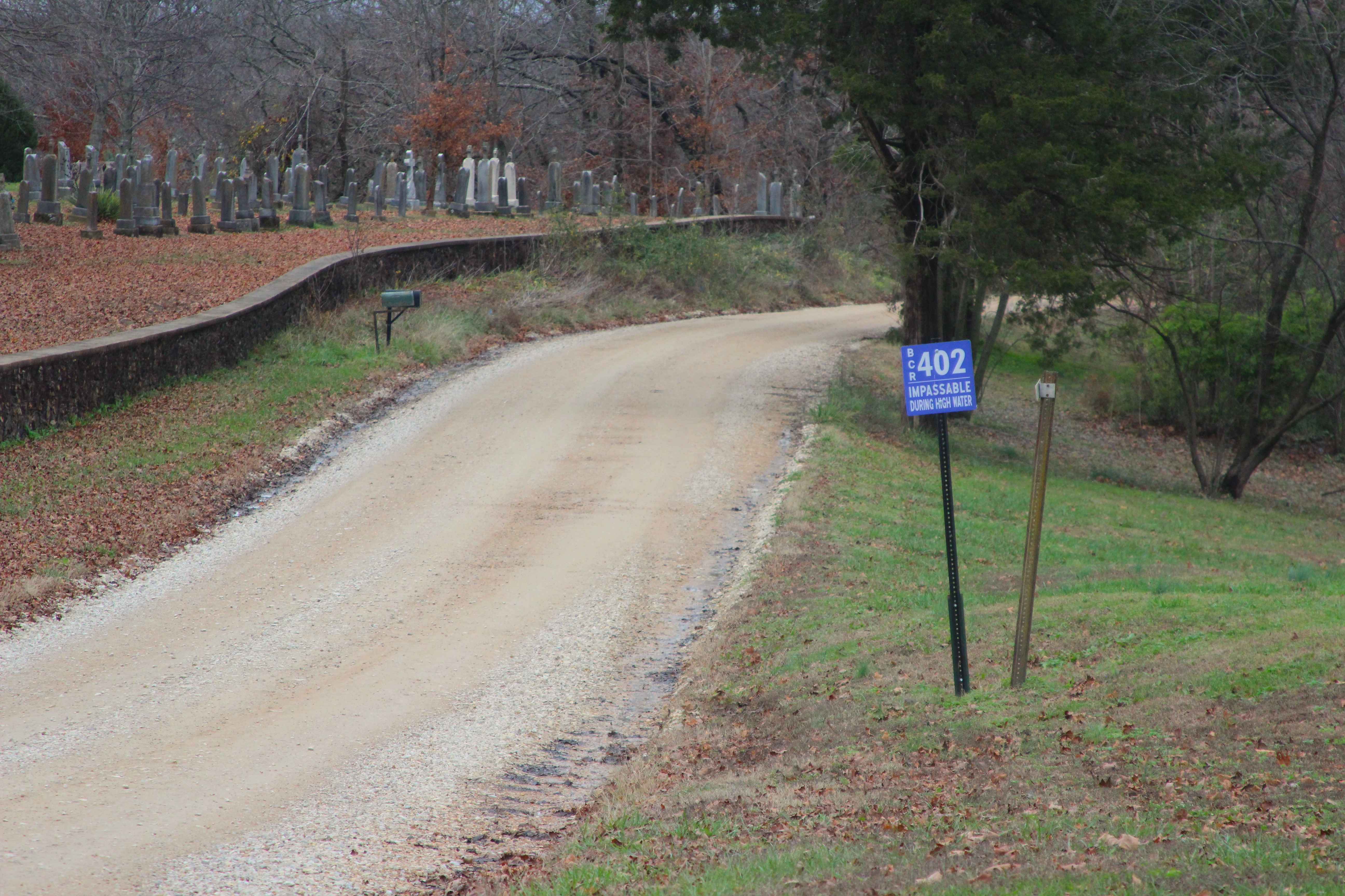
Leopold Road - BCR 402
Total Miles
4.0
Technical Rating
Best Time
Spring, Summer, Fall, Winter
Trail Type
Full-Width Road
Accessible By
Trail Overview
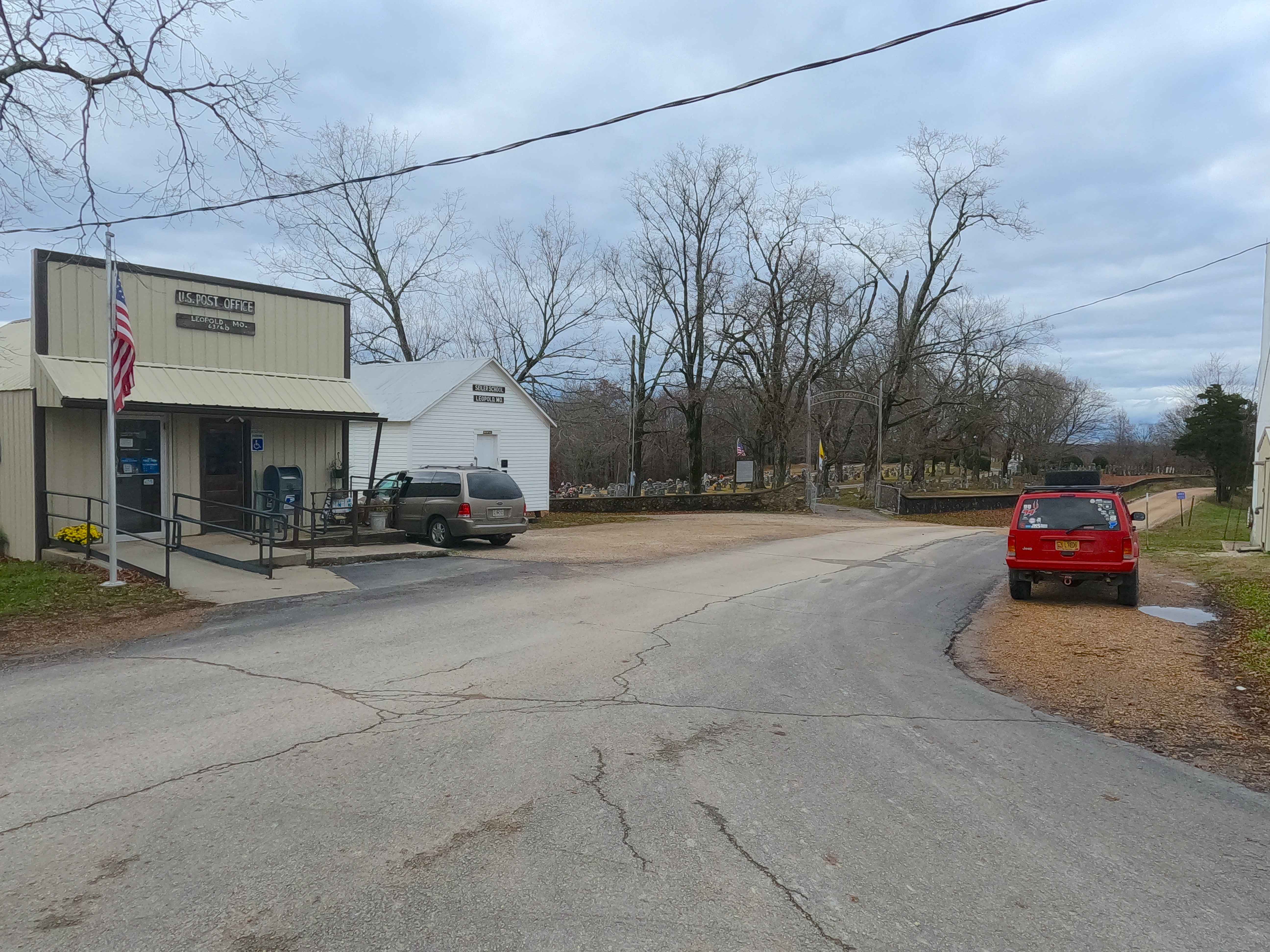
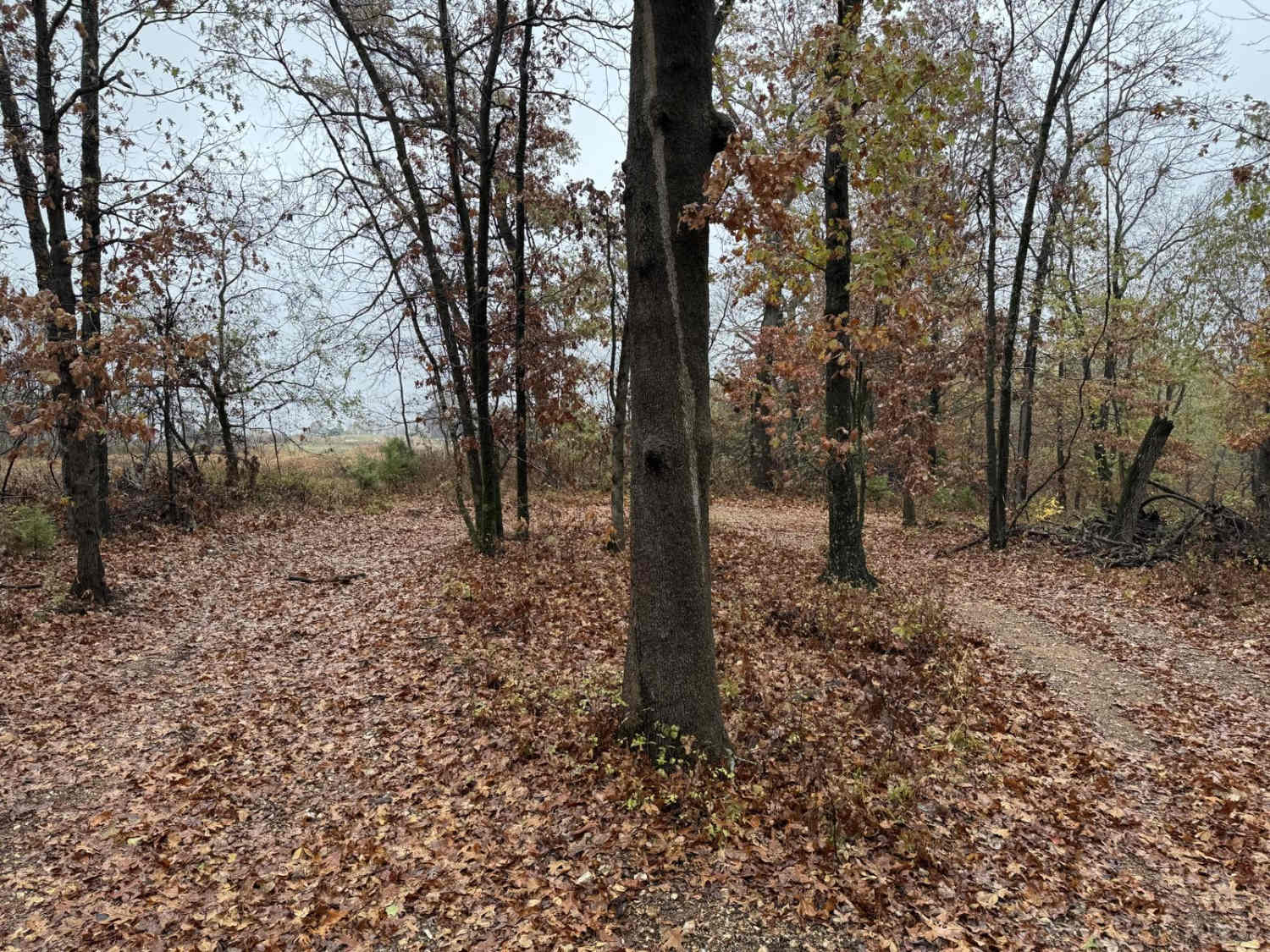
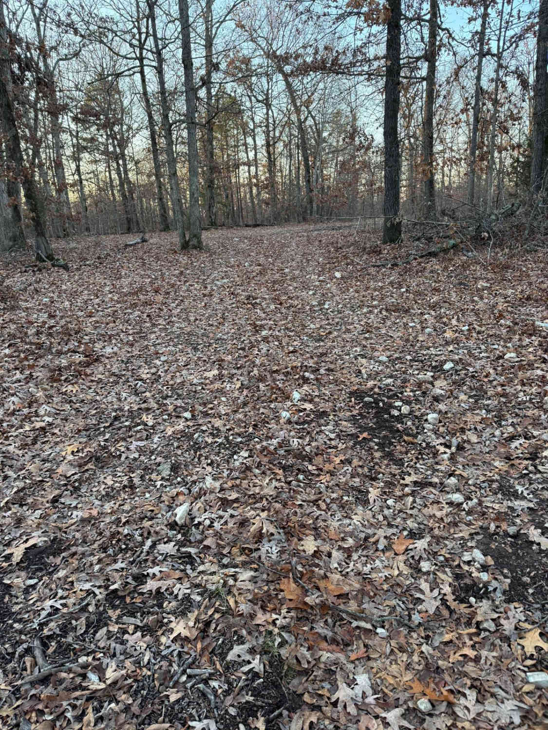
Leopold Road, or Bollinger County Road 402, is a gravel road traversing the center-east portion of Bollinger County. The southern end of the road begins at small town of Leopold, Missouri, leaving the history rich town on the hill it rests, dropping into the valley of the Crooked Creek, where the track crosses the bottoms, passing the former Belmont Line / Missouri Pacific Railroad train bed, before climbing back up the next ridge line, and ultimately connecting to Missouri Route 34, just east of city limits of Marble Hill. A fun little track if you want to leave the pavement and see small-town Missouri along the way.
Photos of Leopold Road - BCR 402
Difficulty
Base Rating for this road is 1/10, with the road being made of red dirt and coarse creek gravel. The difficulty of the area is constantly changing based on two things: how dry/wet it is and how neglected the road is. This is a great example of a road that can swing from 1/10 stable, dry, well-maintained, and easy to ride, versus being in a wet or beaten state, with water splashes (6 inches deep) present, leaning into a 2/10 rating. The biggest concern would be flash flooding in the event of heavy rains or a constant, very wet season, resulting in a high potential of water flooding in the valley lowland, or collection spots along the road, with potential washed loose gravel, and small ruts on the hills. It is safe to expect washboarding, potholes, and potential mounding of the gravel.
History
In 1856, Father John van Luytelaar, along with 12 Catholic families from Cincinnati, Ohio, of Dutch/German roots, settled in the area known as Vinemount. Due to the nearest Church being in Cape Girardeau (22 miles as the crow flies), Mass attendance was irregular. This led the community in August of 1856 to quickly build a two-room log Church, both to house Father John van Luytelaar and to serve the people with a place of Mass. Only two years later, in 1858, the community began construction of a frame Church, but this was shortly followed by the outbreak of the Civil War, which nearly ended Vinemount, as the parish scattered from the area. In 1866, Father John Bertens came to Vinemount, repaired the Church, and built a rectory, creating a fresh start for Vinemount and new immigrants. Father John Bertens, a Dutchman, even learned German to accommodate the new settlers and gave Mass in both languages. This fresh start was followed by the construction of a Log Schoolhouse in 1872. With the arrival of Father Francis Bettels in 1878, from St. Henry in Charleston, Missouri, a middle school was started and completed in 1879. In 1890, the Vinemount Parish had its first picnic with 150 people in attendance, with the modern-day (2000-2025 era) numbers leaning into the rough range of 2000 attendees. In 1894, a frame schoolhouse was built to replace some of the earlier log structures, and in the same year, the community sought to get a post office. This is where (the then current) Pope Leo XXIII comes into the story, with the community requesting the postal address "Leopolis", but something didn't sit well with the authorities in the Postal Service, as that name was rejected. In short order, the community tried again with a second attempt at the name, and the Postal Service accepted, and thus "Vinemount" became "Leopold". Info Sourced from the Roman Catholic Diocese of Springfield-Cape Girardeau website. Documented by Christopher Menz 12/2025.
Leopold Road - BCR 402 can be accessed by the following ride types:
- High-Clearance 4x4
- SUV
- SxS (60")
Leopold Road - BCR 402 Map
Popular Trails

Parkstone Drive

Waterfall Access
The onX Offroad Difference
onX Offroad combines trail photos, descriptions, difficulty ratings, width restrictions, seasonality, and more in a user-friendly interface. Available on all devices, with offline access and full compatibility with CarPlay and Android Auto. Discover what you’re missing today!