Green 6
Total Miles
0.1
Technical Rating
Best Time
Spring, Summer, Fall
Trail Type
Full-Width Road
Accessible By
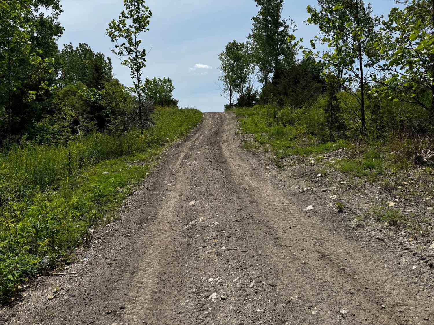
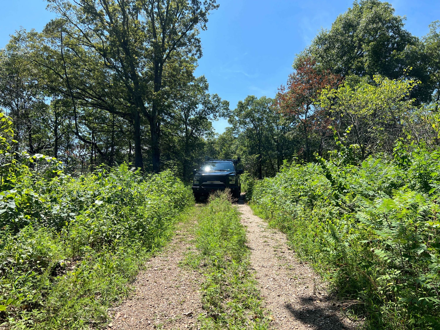
Trail Overview
This trail runs alongside the main road and serves as a useful connector, guiding drivers to several additional trailheads throughout the area. The path Ray Rocks Map is as follows: green are easy trails, Moderate trails on their map are orange, hard and extreme trails are colored red. For the trails without names, we have spoken with Marriane, one of the owners, and we are going with green for easy, yellow for moderate, and red for difficult, on the names, followed by a number so they can know the exact number of trails they have in total. It's a relatively easy and ideal option for drivers looking to explore multiple trails without encountering difficult terrain.
Photos of Green 6

Difficulty
The mild off-camber areas may require some attention, especially in wet conditions, but overall, this trail is suitable for most four-wheel-drive vehicles.
Status Reports
Green 6 can be accessed by the following ride types:
- High-Clearance 4x4
- SUV
- SxS (60")
- ATV (50")
- Dirt Bike
Green 6 Map
Popular Trails
Scroggins Ridge to Rock Creek
Roll Over 84

Boulder Dash 425
Surrott School - FS 591
The onX Offroad Difference
onX Offroad combines trail photos, descriptions, difficulty ratings, width restrictions, seasonality, and more in a user-friendly interface. Available on all devices, with offline access and full compatibility with CarPlay and Android Auto. Discover what you’re missing today!