Green 58
Total Miles
0.1
Technical Rating
Best Time
Spring, Summer, Fall
Trail Type
Full-Width Road
Accessible By
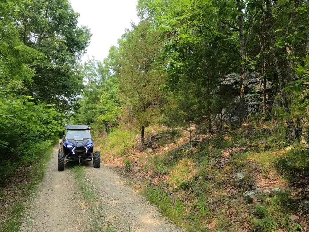
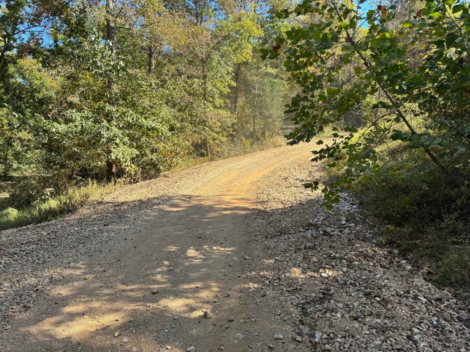
Trail Overview
This trail descends and crosses the West Fork of the Crooked River, where for a short distance you'll be driving directly in the waterway. During periods of high water levels, this trail becomes extremely hazardous and should be avoided to prevent serious vehicle damage. It links yellow 57 at one end and green 59 at the other.
Photos of Green 58


Difficulty
This trail includes a water crossing where you'll be driving through the riverbed for a short distance. When water levels are low, it's manageable to drive. Avoid when water levels are high.
Status Reports
Green 58 can be accessed by the following ride types:
- High-Clearance 4x4
- SUV
- SxS (60")
- ATV (50")
- Dirt Bike
Green 58 Map
Popular Trails
Cedar Bottom FSR 2159

Taum Sauk Cemetery - RCR 205
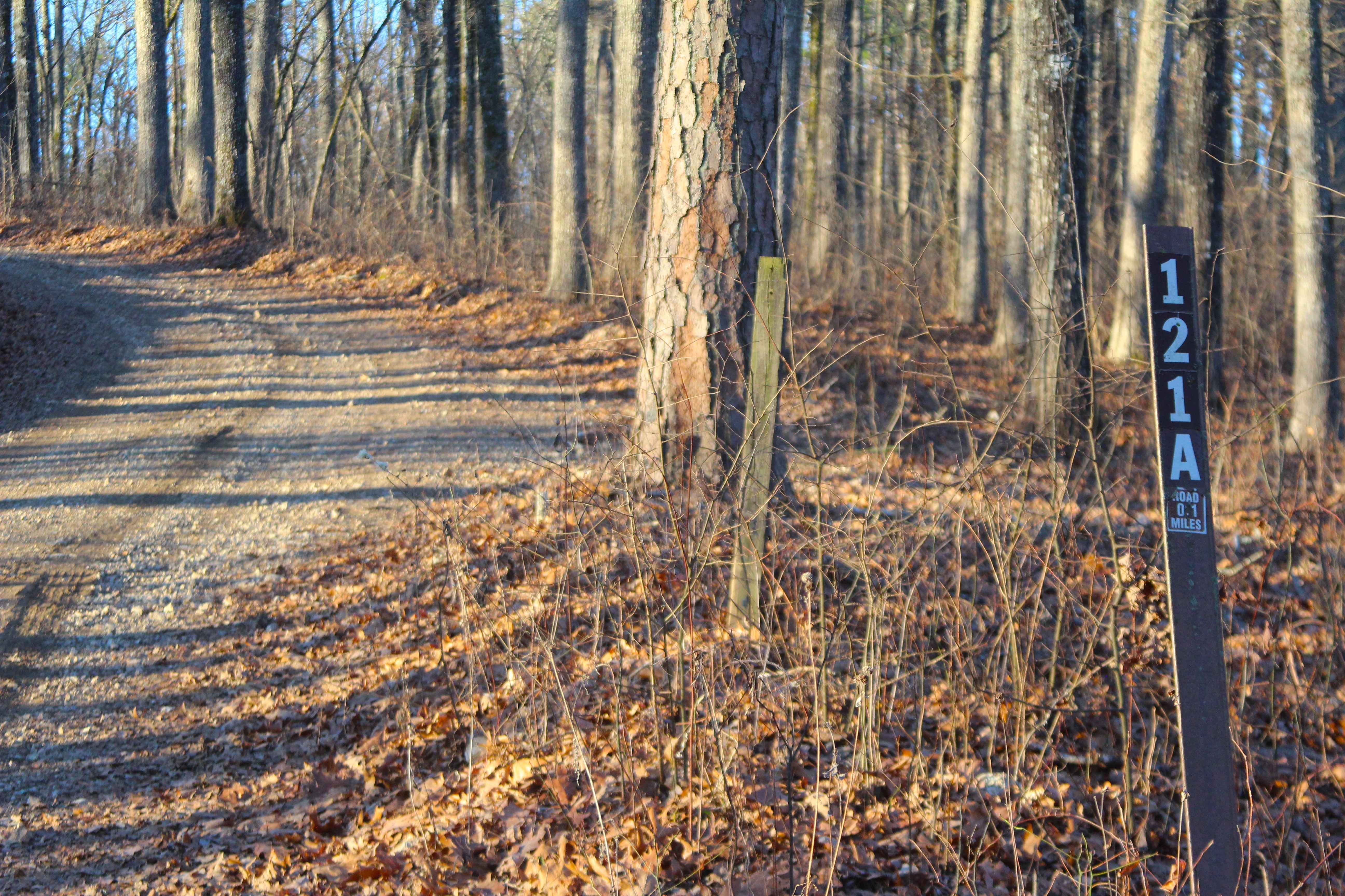
Blue Buck Tower Spur A - FS 121A
The onX Offroad Difference
onX Offroad combines trail photos, descriptions, difficulty ratings, width restrictions, seasonality, and more in a user-friendly interface. Available on all devices, with offline access and full compatibility with CarPlay and Android Auto. Discover what you’re missing today!