Greasy Creek - FS 427
Total Miles
2.4
Technical Rating
Best Time
Spring, Summer, Fall, Winter
Trail Type
Full-Width Road
Accessible By
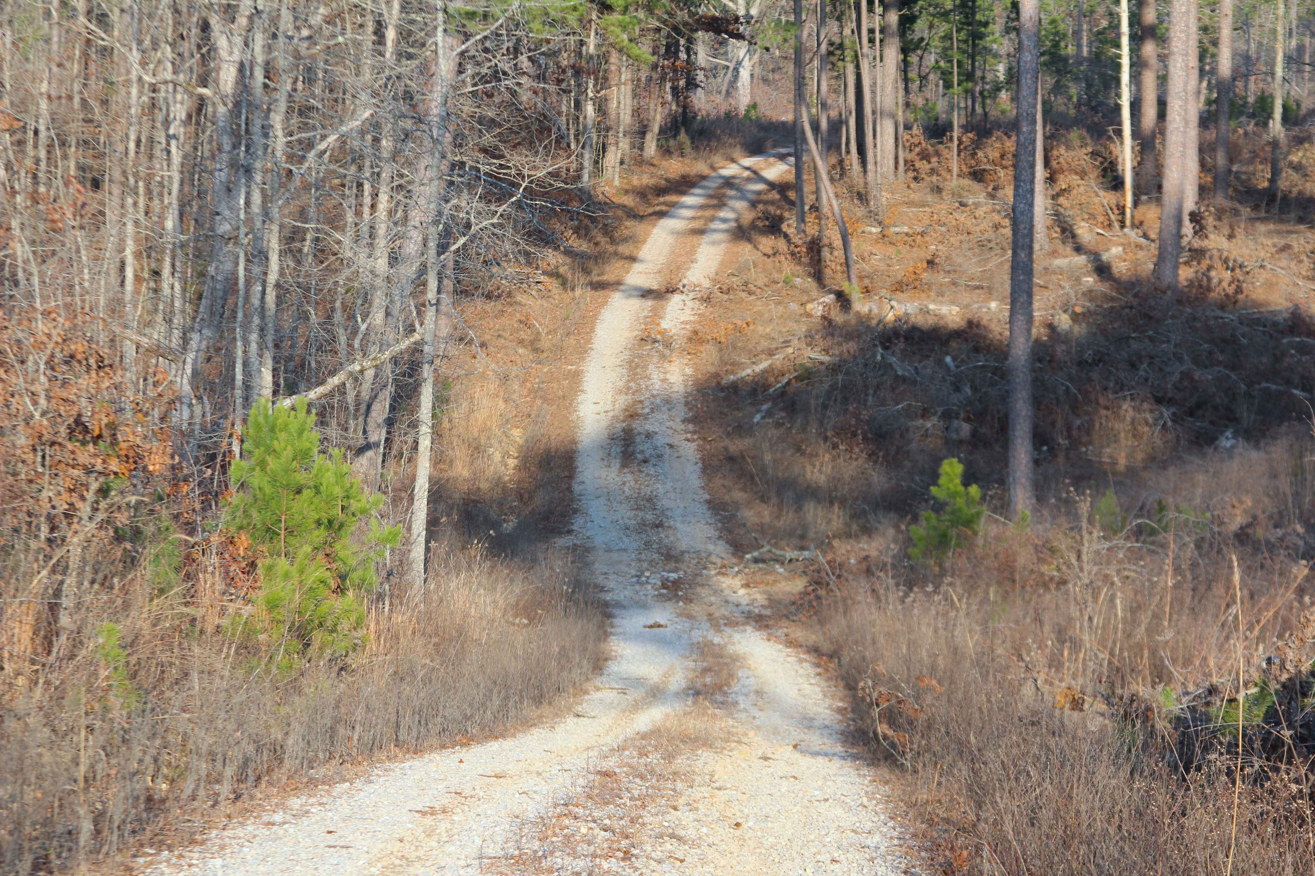
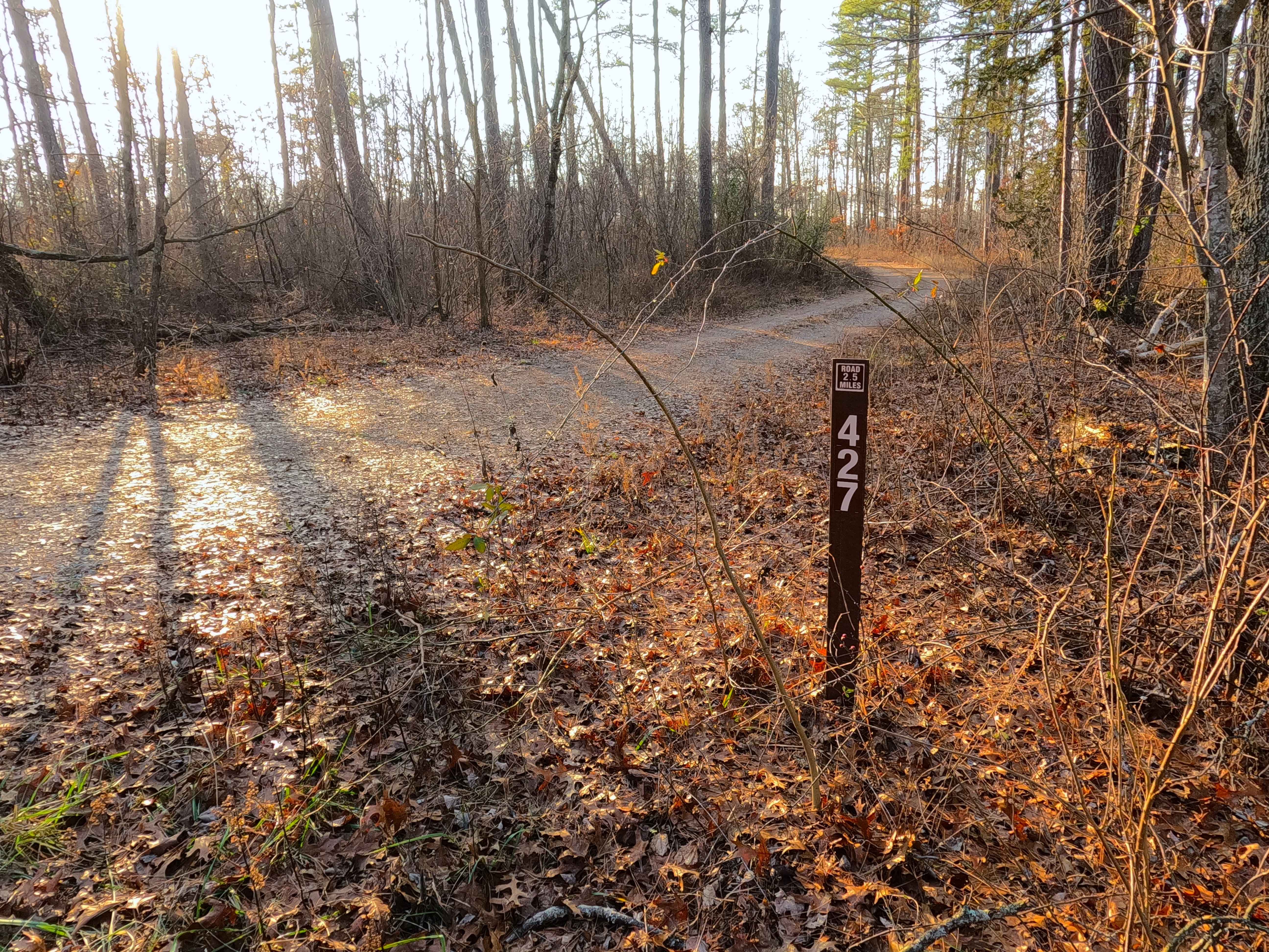
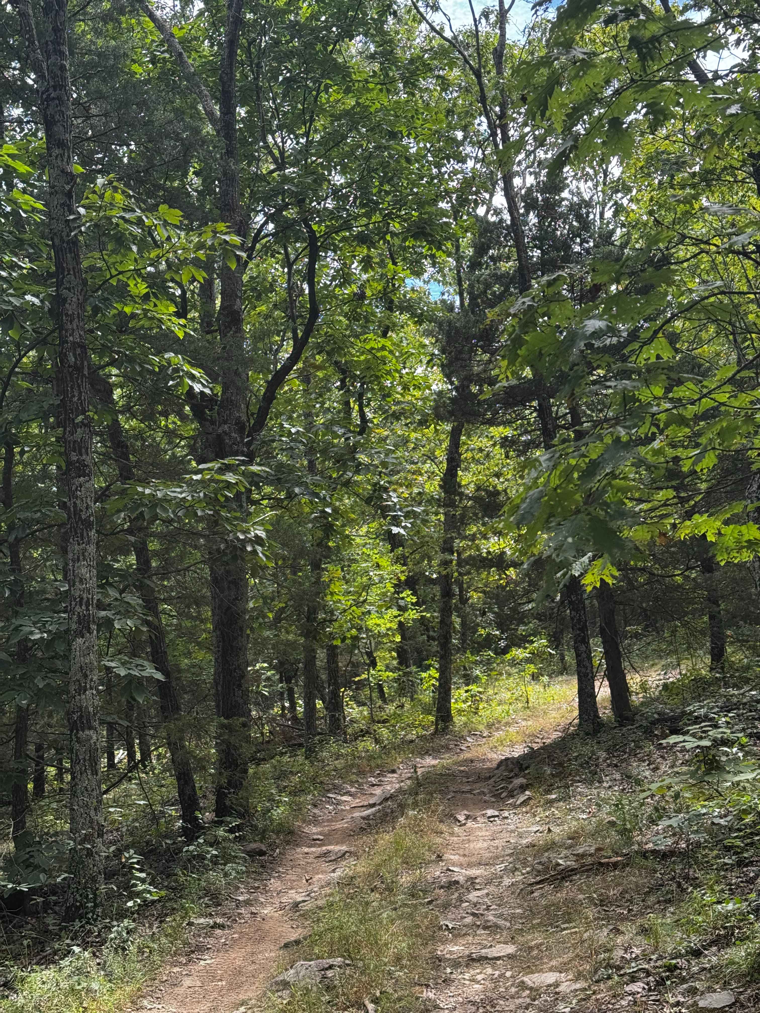
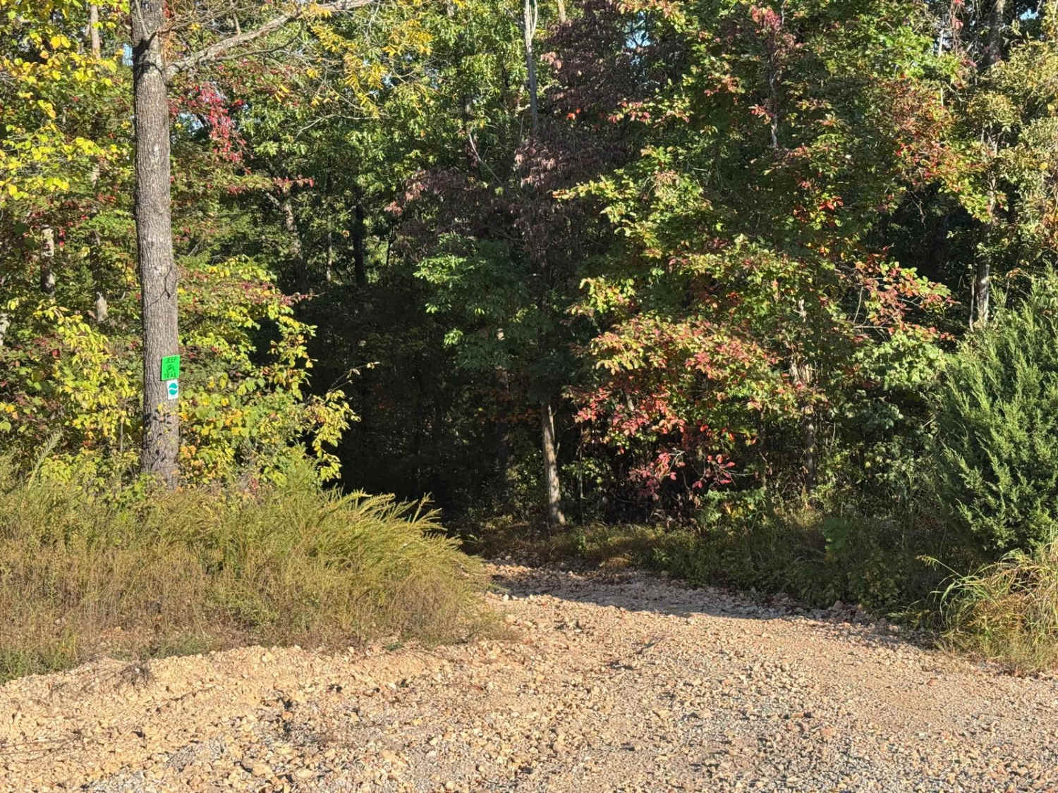
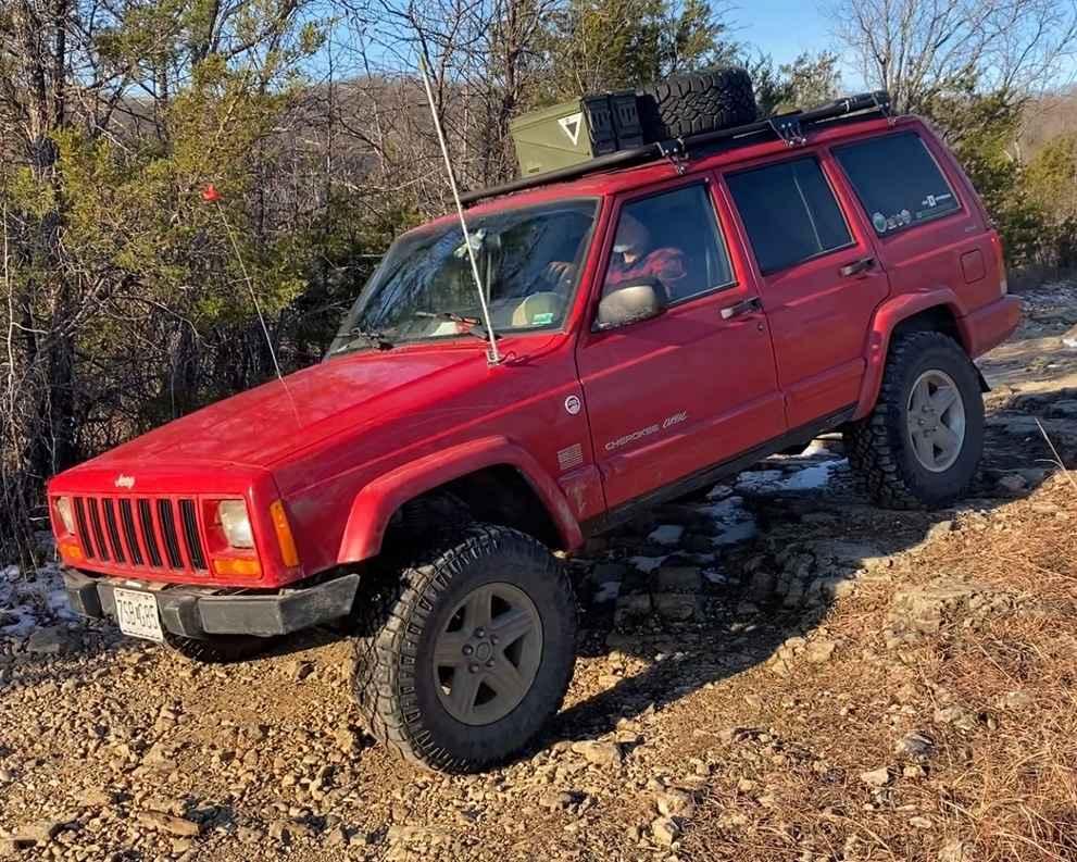
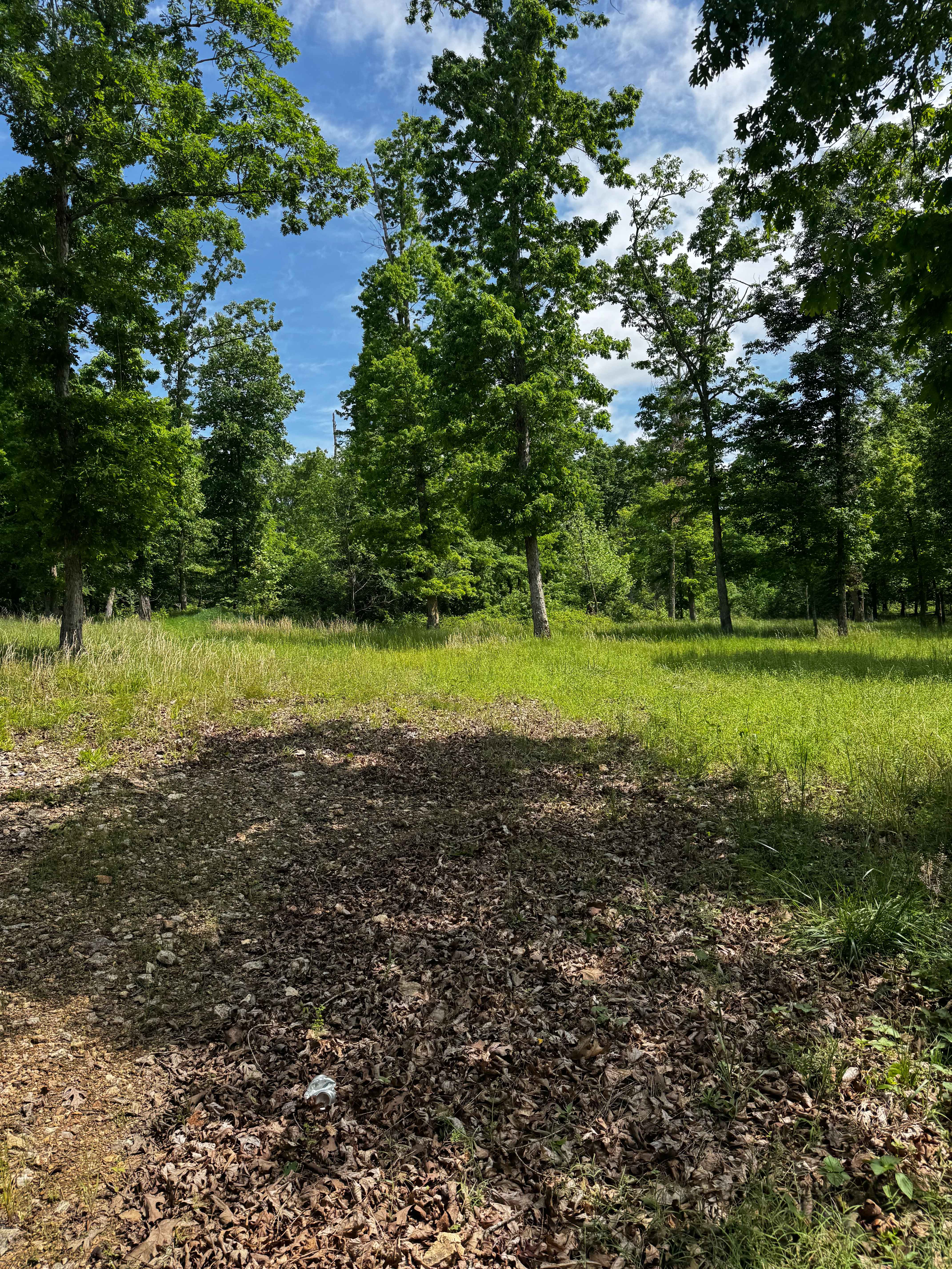
Trail Overview
Greasy Creek (FS 427) is a gravel Forest Service road within the Mark Twain National Forest Willow Springs Unit. Greasy Creek begins by turning west off Missouri Route 181, quickly dropping grade down and back up into a small valley, with a rainwater runoff channel featuring exposed small cobbles and coarse gravel. This small valley eventually feeds water northward towards the actual Greasy Creek. Continuing west, the track follows the higher spines of the ridgeline, which climb up and down some mild grades within a well-groomed pine treeline that almost feels like a tunnel at times. Then the logging portion of the track begins on the far west, and due to the harvested forest, this portion provides widespread views for miles, as the road fades to more of a gravel-dirt mix at times, with mild erosion present. The road concludes at a large open area, where a logging operation must have set up, users must turn around and head back out the way they entered.
Photos of Greasy Creek - FS 427
Difficulty
Greasy Creek is given a 2/10 base rating, having mild graded hills, coarse gravel and loose cobbles on the first small valley, with a potential water splash crossing at the bottom, later in the track there is small erosion ruts crossing the path of the road, and the road gravel fades to soft dirt in spots, as the gravel also seems to thin and become more of a dirt gravel mix at times. It is safe to expect all the normal gravel road complications of potholes, washboards, and mounding of gravel. Difficulty can increase in times of wet or inclement conditions, heavy use, and through a lack of maintenance, likely having temporary water collection spots at splash depth. Difficulty could drop with some mending and maintenance, such as fresh gravel from end to end, and adding a culvert system to the water runoff in the first valley, but it is unlikely on this low-priority road.
Status Reports
Greasy Creek - FS 427 can be accessed by the following ride types:
- High-Clearance 4x4
- SUV
- SxS (60")
- ATV (50")
- Dirt Bike
Greasy Creek - FS 427 Map
Popular Trails
Loop Express
West Fork West - FS 509
Little Rock
The onX Offroad Difference
onX Offroad combines trail photos, descriptions, difficulty ratings, width restrictions, seasonality, and more in a user-friendly interface. Available on all devices, with offline access and full compatibility with CarPlay and Android Auto. Discover what you’re missing today!