Glenn's Demise 325
Total Miles
0.1
Technical Rating
Best Time
Spring, Summer, Fall, Winter
Trail Type
Full-Width Road
Accessible By
Trail Overview
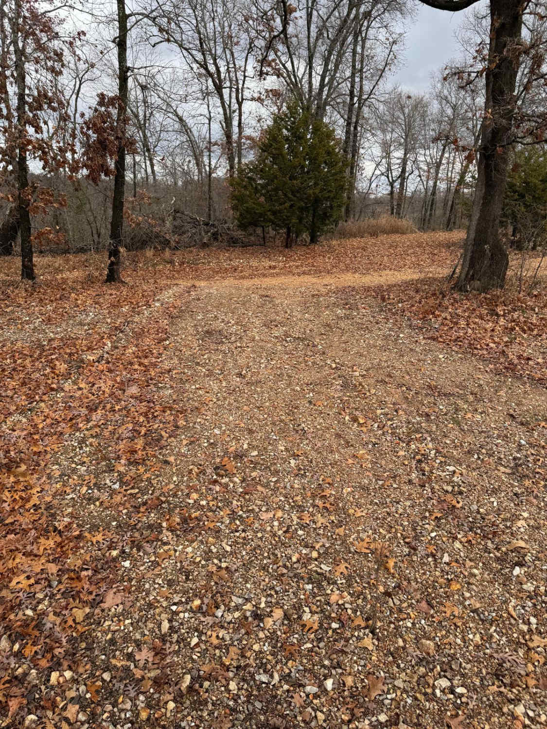
Glenn's Demise 325 is a non-directional trail that is located on the southwestern corner of the park. You can run this trail from either direction. Glenn's Demise 325 is connected to Yellow 324 at the bottom and Green 318 at the top. There are no other direct connecting trails from this one.
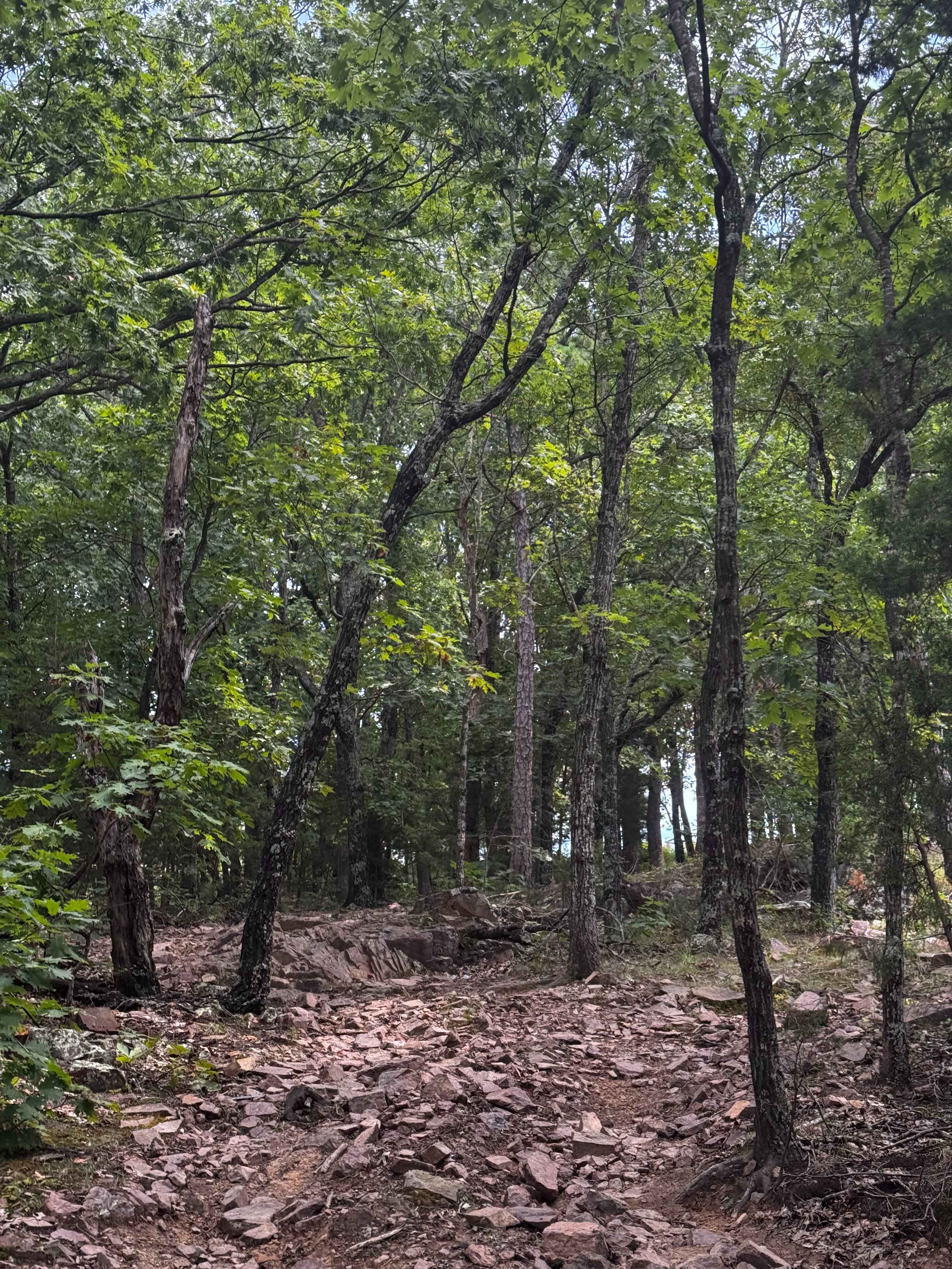
Photos of Glenn's Demise 325

Difficulty
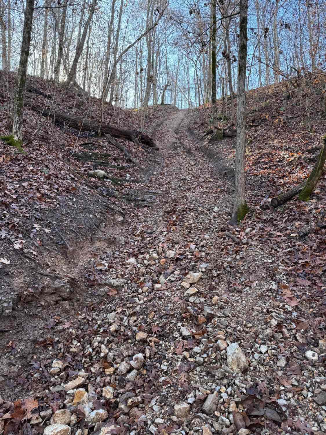
This trail starts off as a creek bed style and turns left to go up a very steep, muddy, slick, and rutted out hill climb. At various spots through out the hill climb there are smaller rock ledges sticking out that may cause your vehicle to stop or lose momentum. If this happens you may have to back back down and try again.
Status Reports
Glenn's Demise 325 can be accessed by the following ride types:
- High-Clearance 4x4
- SUV
- SxS (60")
Glenn's Demise 325 Map
Popular Trails
Jeepers Creepers

Yellow 159
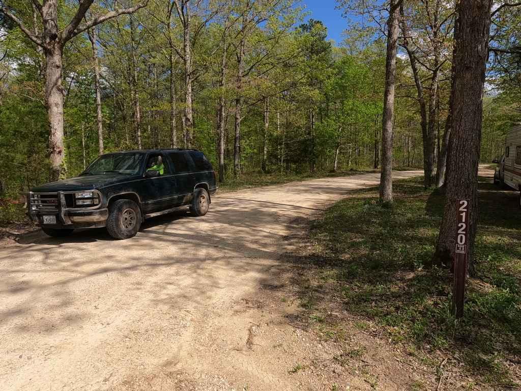
Nine Mile (Marsh Creek FSR 2120)
The onX Offroad Difference
onX Offroad combines trail photos, descriptions, difficulty ratings, width restrictions, seasonality, and more in a user-friendly interface. Available on all devices, with offline access and full compatibility with CarPlay and Android Auto. Discover what you’re missing today!