Cave Springs Spur A
Total Miles
2.0
Technical Rating
Best Time
Spring, Summer, Fall, Winter
Trail Type
Full-Width Road
Accessible By
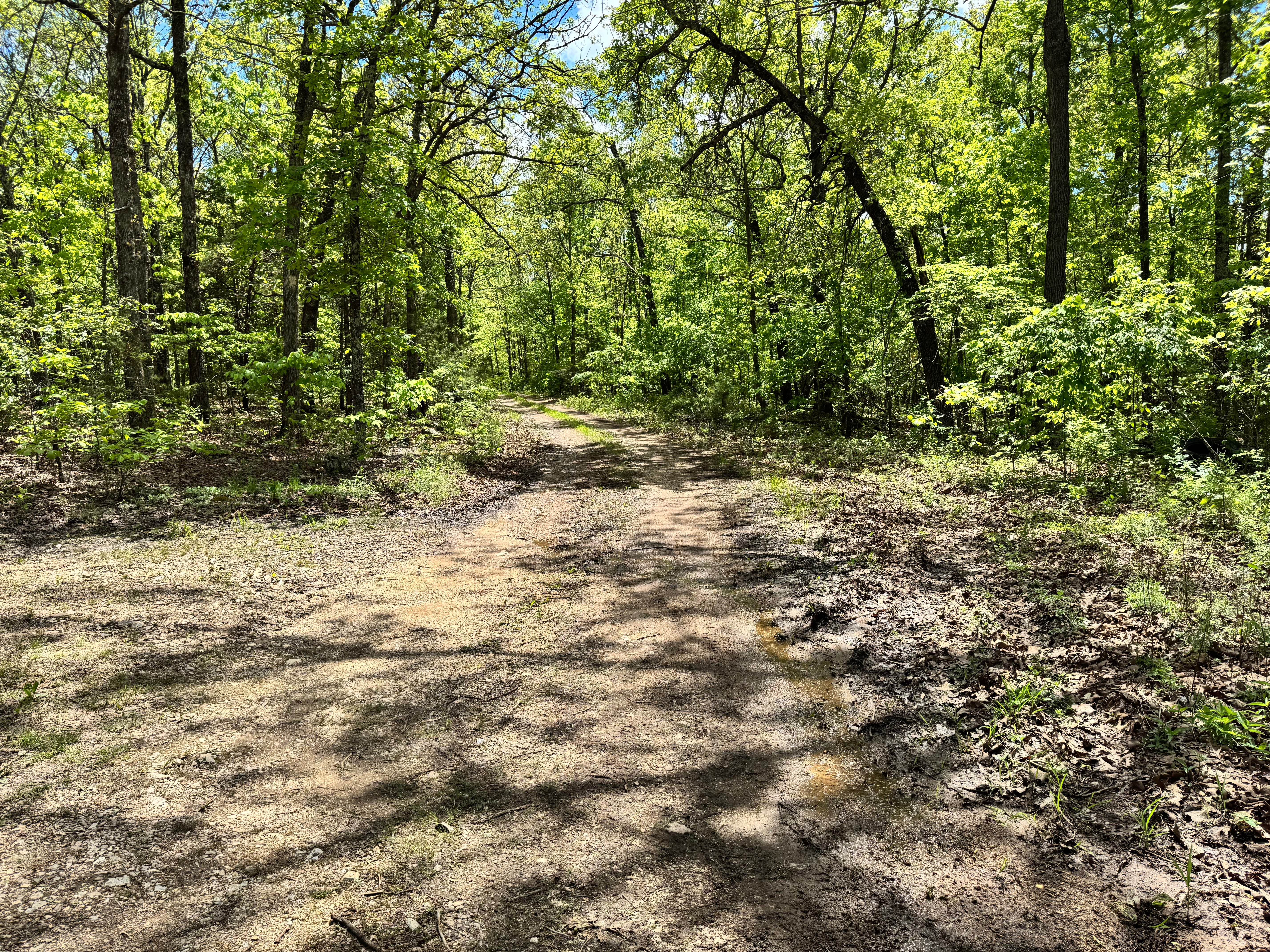
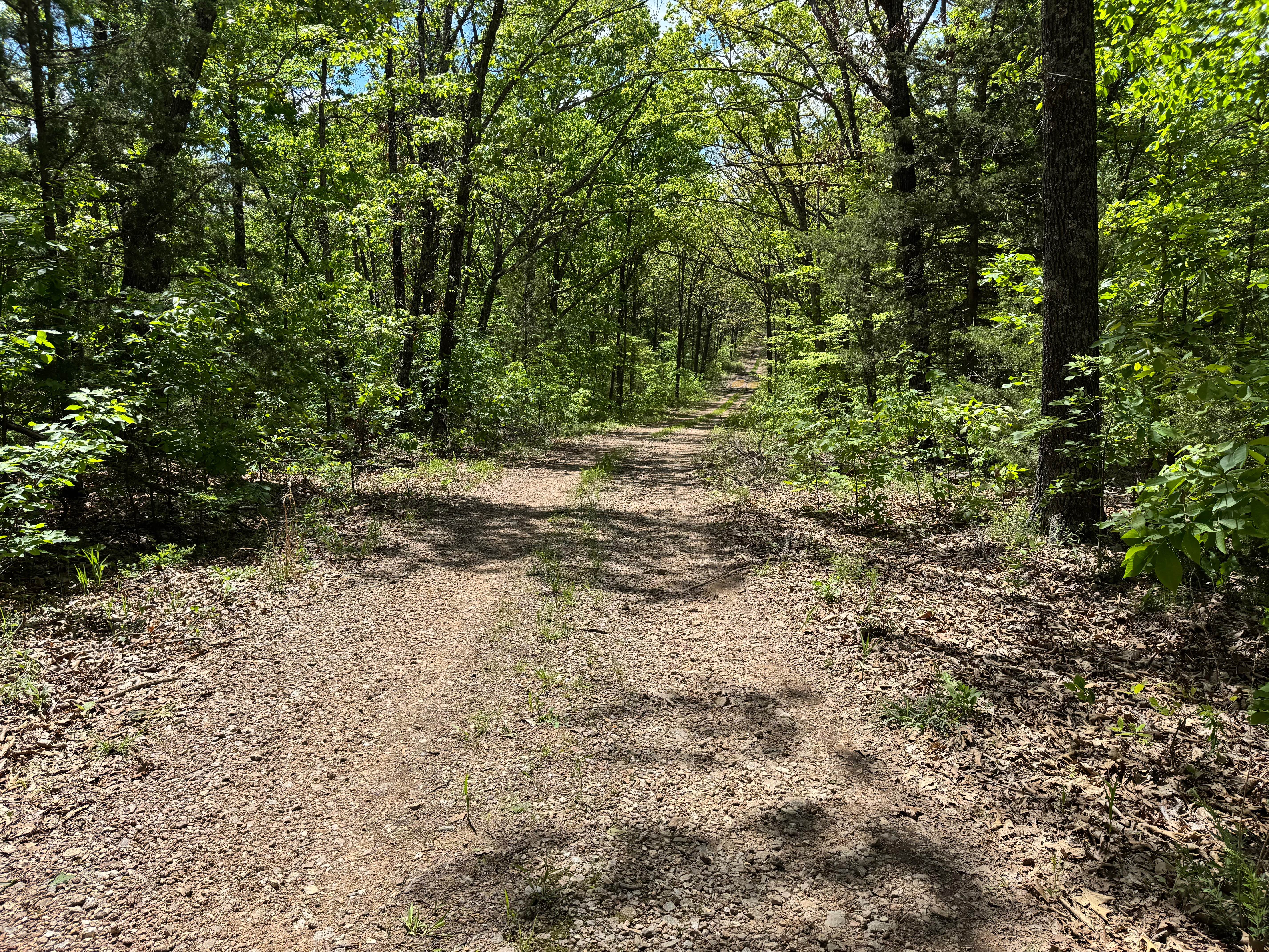
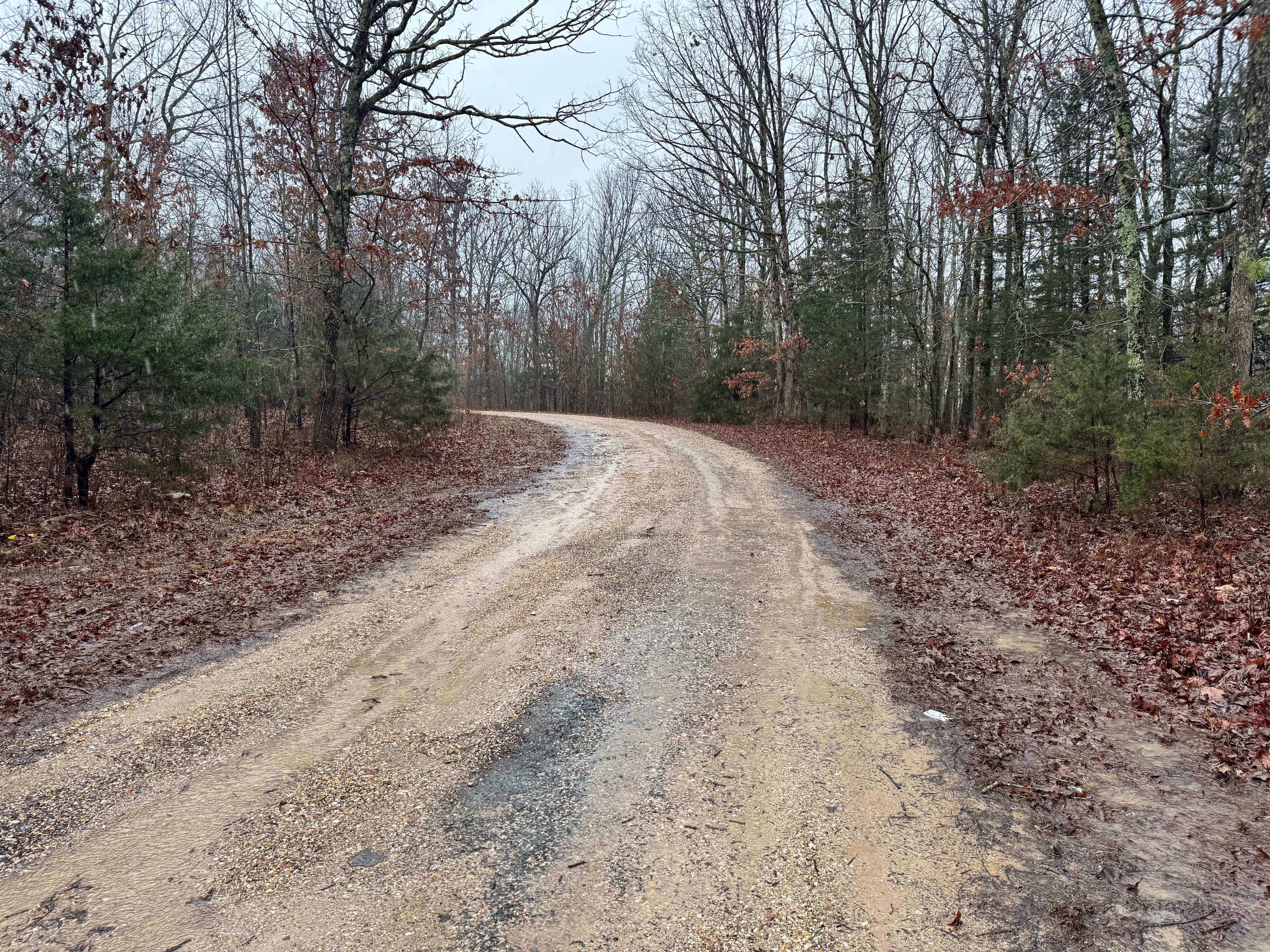
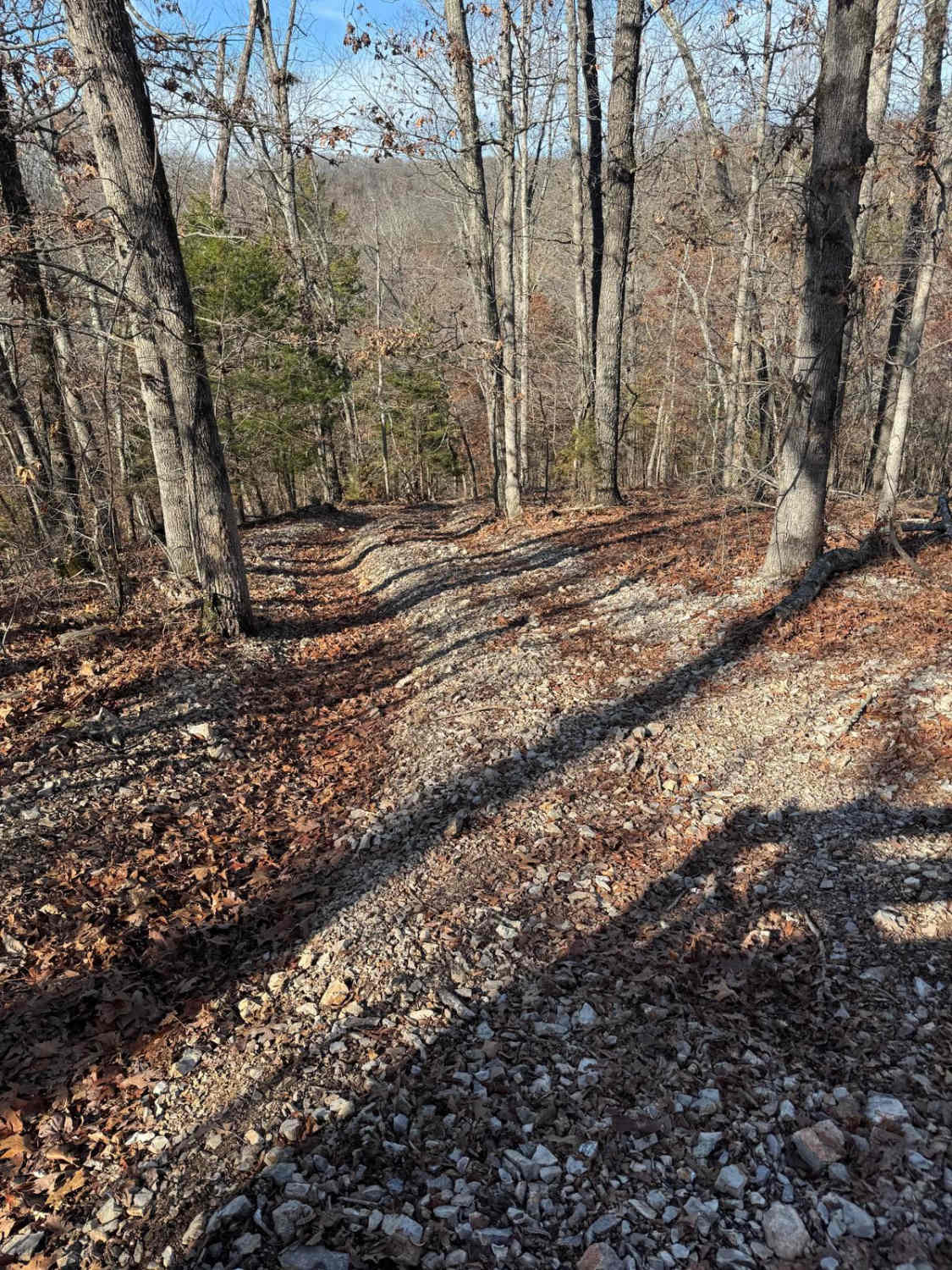
Trail Overview
This route follows a mostly dirt-based trail through a wooded landscape with a few mud holes and minor washouts scattered along the way. While conditions can change after rain, the trail remains fairly wide for most of the drive, making it easy to pass or maneuver around oncoming vehicles when needed. Tight brush is minimal, so pinstriping is not a concern for larger rigs. The surface is generally mild, with light uneven sections that add interest without becoming overly technical. At the end of the route, you'll find a dispersed campsite tucked into the trees, offering a quiet spot to camp, relax, and enjoy the surrounding forest.
Photos of Cave Springs Spur A
Difficulty
This route is best suited for stock high-clearance SUVs, trucks, and beginner off-roaders. The dirt base is generally mild, with only a few mud holes and minor washouts adding light obstacles. The wide trail width makes passing easy and reduces stress for new drivers. Pinstriping risk is low due to minimal brush encroachment.
History
Mark Twain National Forest was established in 1939 and spans large portions of southern Missouri. Many roads and routes through the forest originated as access roads for timber, land management, and rural travel, and today they provide access for recreation and outdoor exploration.
Status Reports
Cave Springs Spur A can be accessed by the following ride types:
- High-Clearance 4x4
- SUV
Cave Springs Spur A Map
Popular Trails
Bollinger Mill Road
Buick Truck Trail 2231
Yellow 330
The onX Offroad Difference
onX Offroad combines trail photos, descriptions, difficulty ratings, width restrictions, seasonality, and more in a user-friendly interface. Available on all devices, with offline access and full compatibility with CarPlay and Android Auto. Discover what you’re missing today!