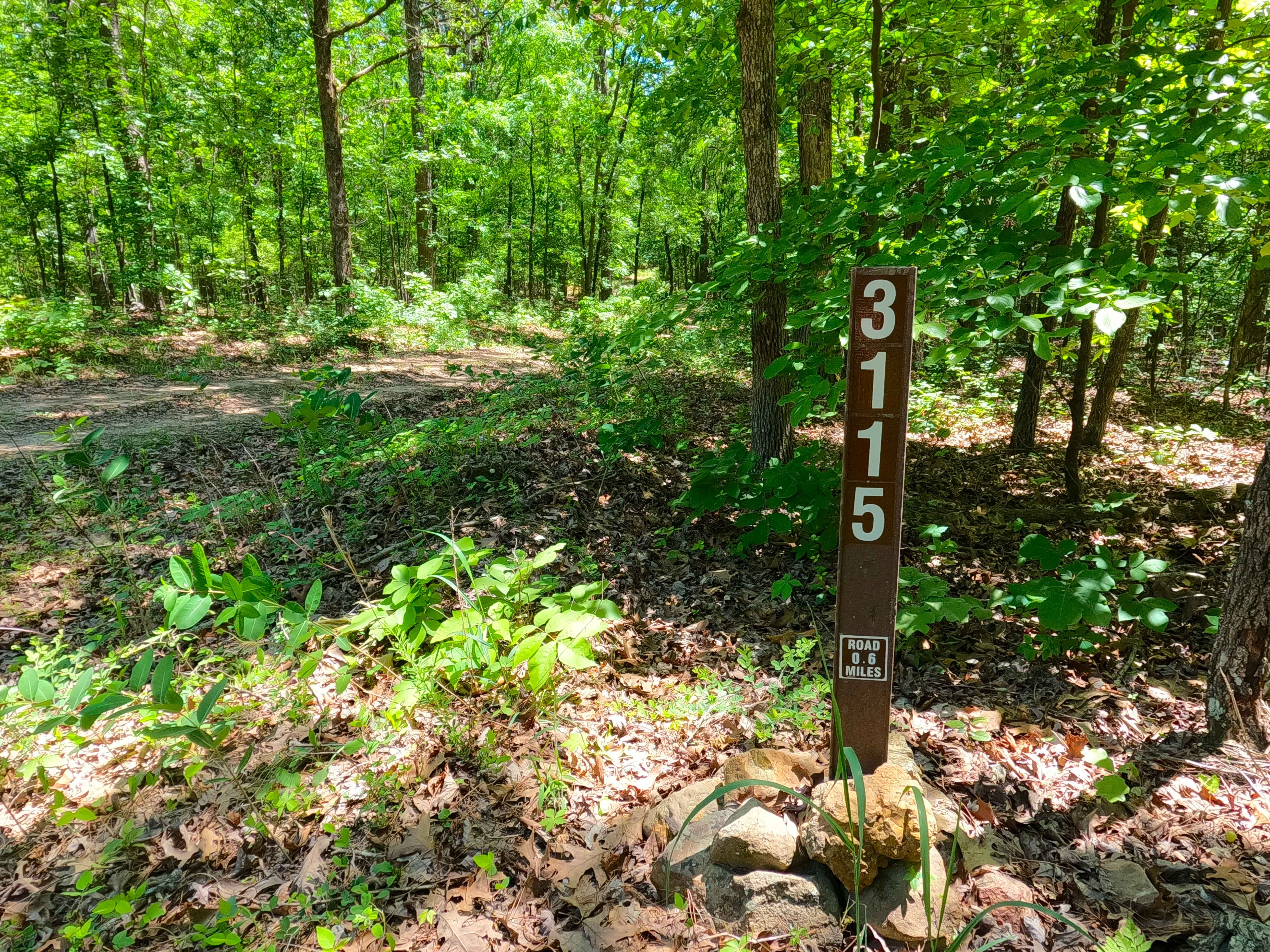
Bunny Hop - FS 3115
Total Miles
0.8
Technical Rating
Best Time
Spring, Summer, Winter, Fall
Trail Type
Full-Width Road
Accessible By
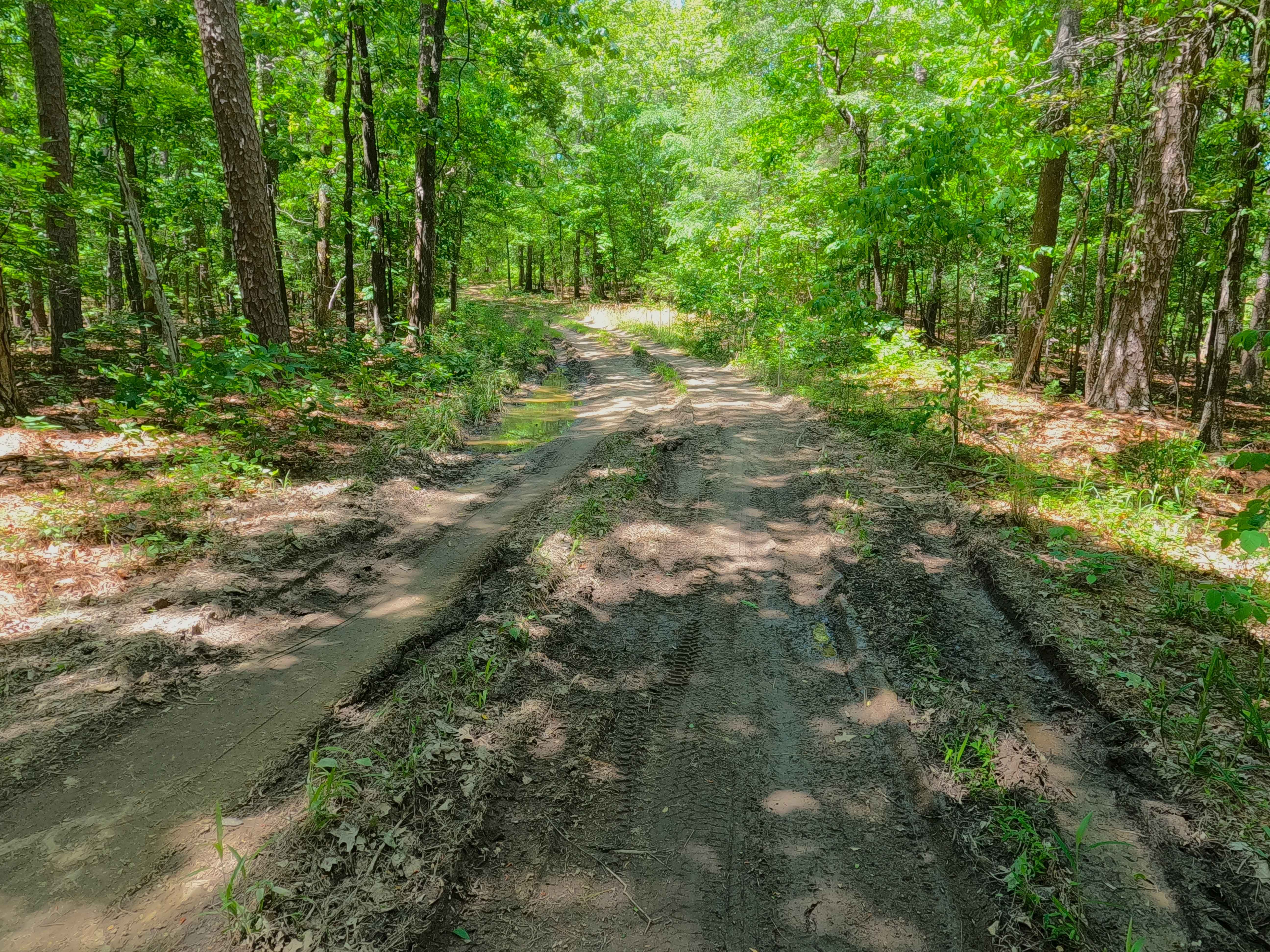
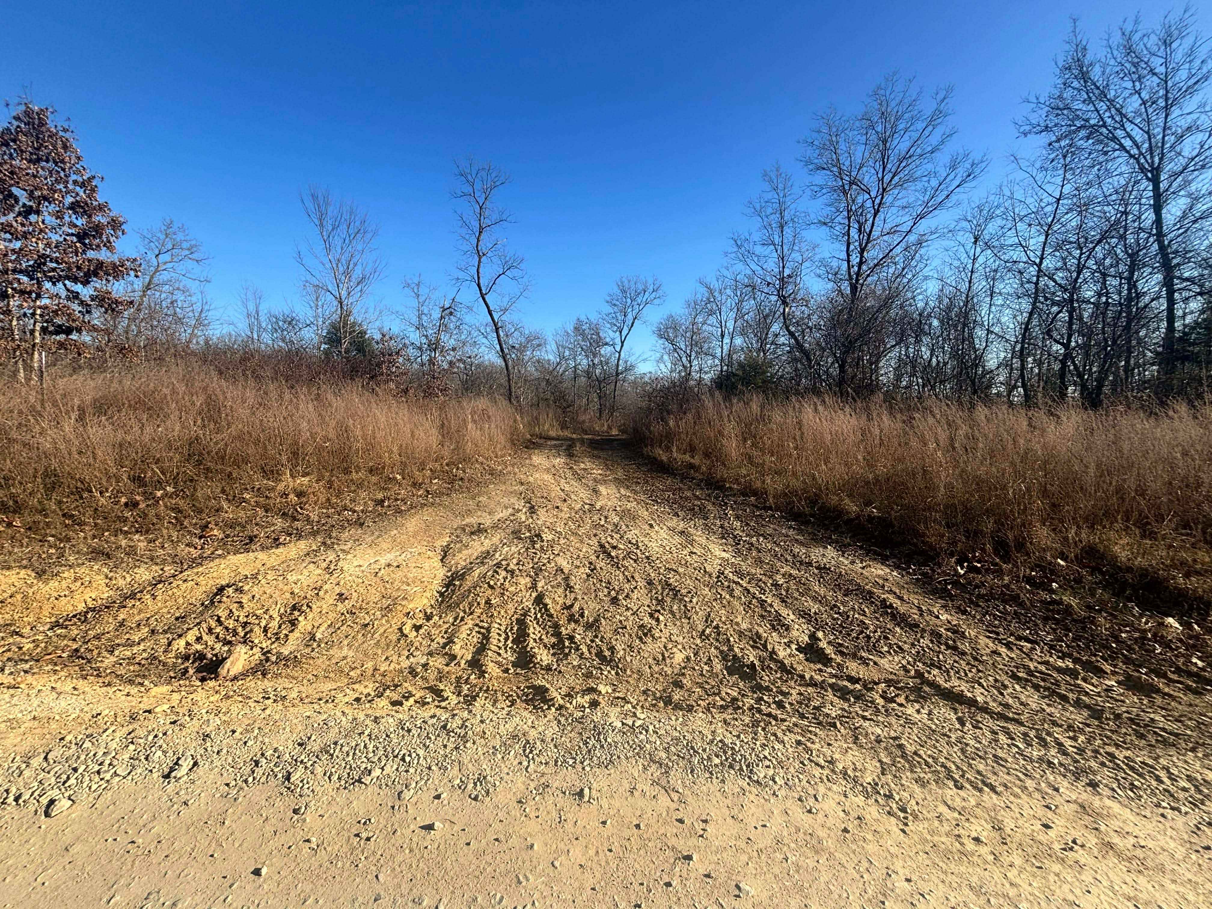
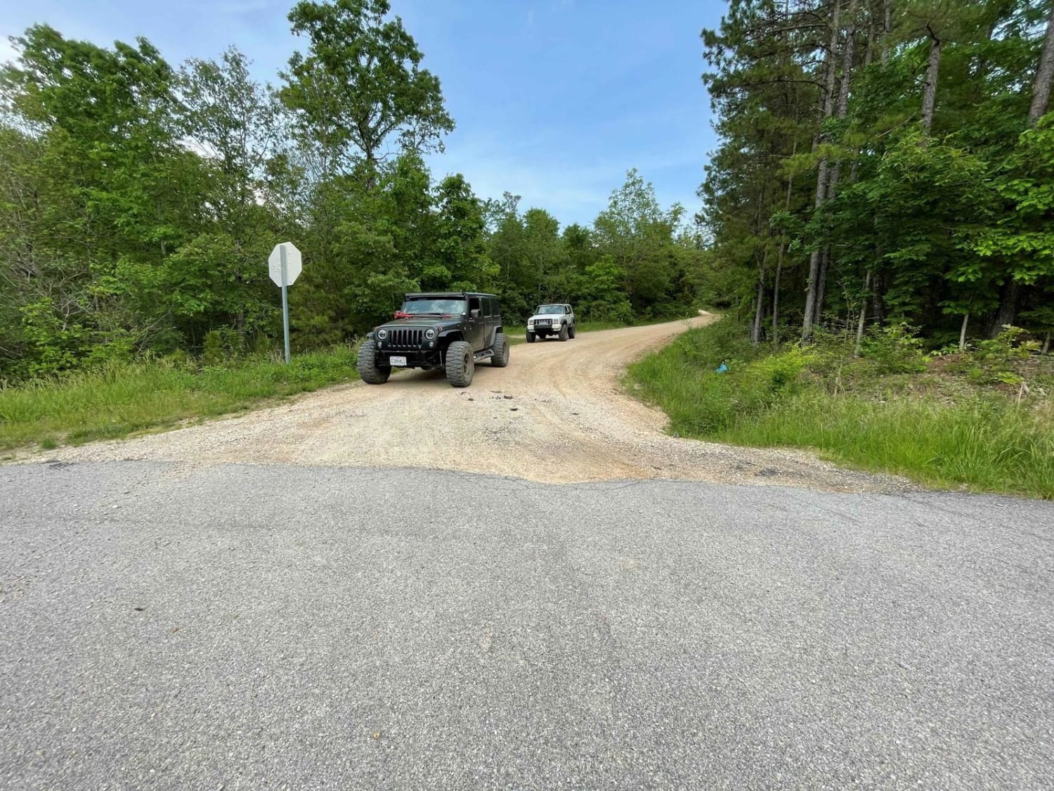
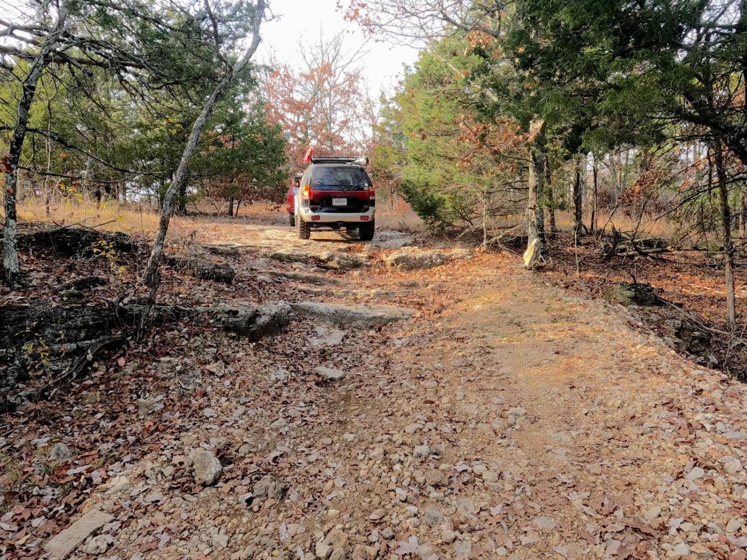
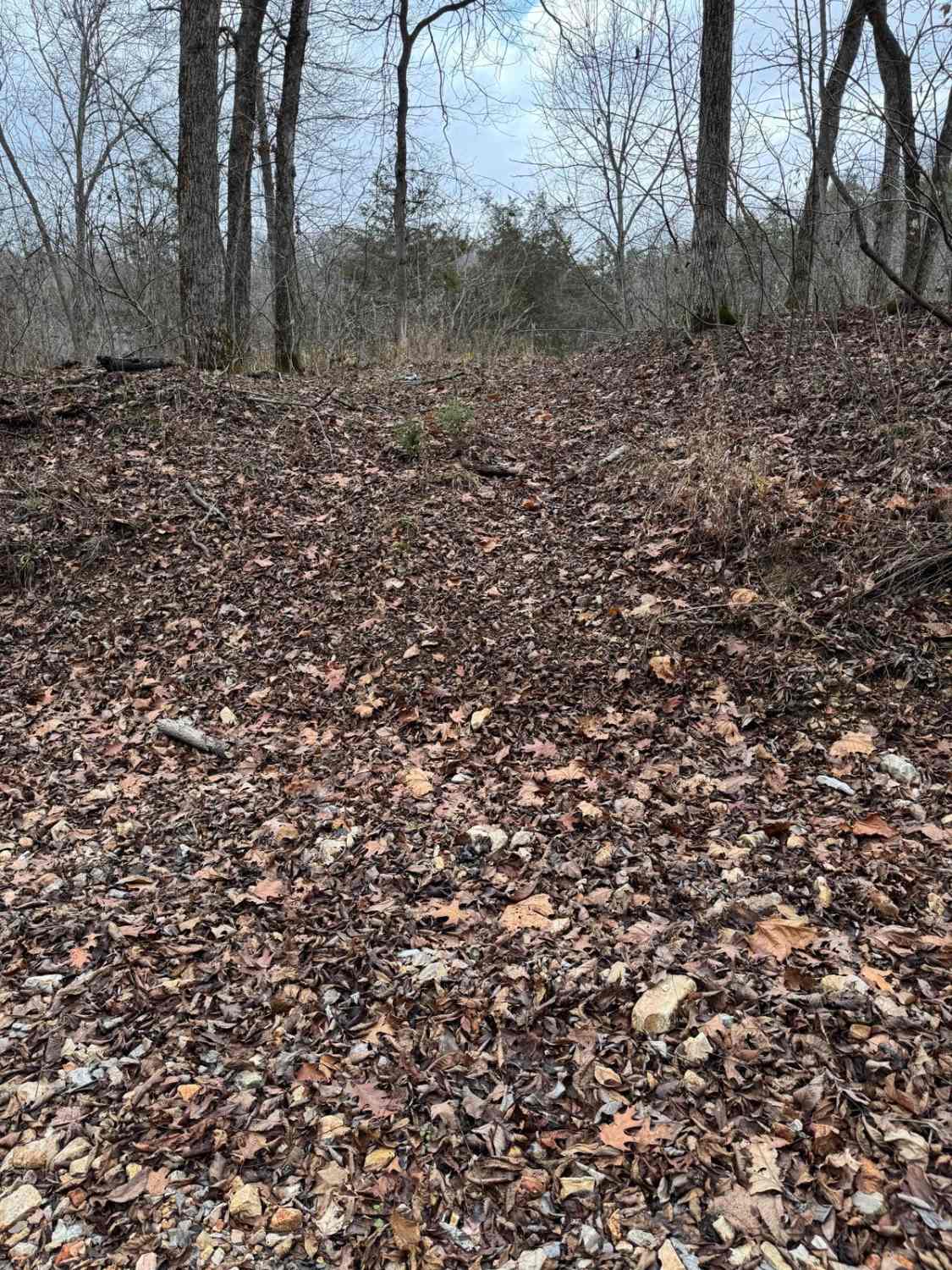
Trail Overview
Bunny Hop (FS 3115) is a natural dirt terrain forest service road within the Poplar Bluff Unit of Mark Twain National Forest. Starting from the County Road 412 heading south, the road wastes no time showing its condition, being a well-beaten dirt road with ruts and erosion within the main path of the trail, leading slowly downhill to the first water-filled mud holes at the first bowl in elevation, followed by more slightly downhill rutting and erosion that channels water to low spots, forming more water collection-based mud holes, before meeting the turnaround loop that is found at the MVUM-Sanctioned end of the road, from here users must turn around and head back the way they entered.
Photos of Bunny Hop - FS 3115
Difficulty
Bunny Hop is given a 3/10 for having active dirt rutting and erosion, being 6-12 inches deep, as well as surface mud, or splash to 12 inches deep mud holes and water collection spots in the bowl-like locations along the track. In seasons of serious dry weather, the road can drop in difficulty due to the mud and water drying out, thus weakening these water-based obstacles, or difficulty can increase in times of wet conditions, rainy seasons, and through further lack of maintenance or heavy use. The road could also significantly drop in rating through repairs to the mud holes and fresh gravel dropped throughout, likely resulting in a 1/10.
Status Reports
Bunny Hop - FS 3115 can be accessed by the following ride types:
- High-Clearance 4x4
- SUV
- SxS (60")
- ATV (50")
- Dirt Bike
Bunny Hop - FS 3115 Map
Popular Trails
Fresno Cut Through
Lone Star School Road (FS 3824)
Tennyson Hollow East - FS 507
The onX Offroad Difference
onX Offroad combines trail photos, descriptions, difficulty ratings, width restrictions, seasonality, and more in a user-friendly interface. Available on all devices, with offline access and full compatibility with CarPlay and Android Auto. Discover what you’re missing today!