Booker Bend
Total Miles
1.1
Technical Rating
Best Time
Spring, Summer, Fall
Trail Type
Full-Width Road
Accessible By
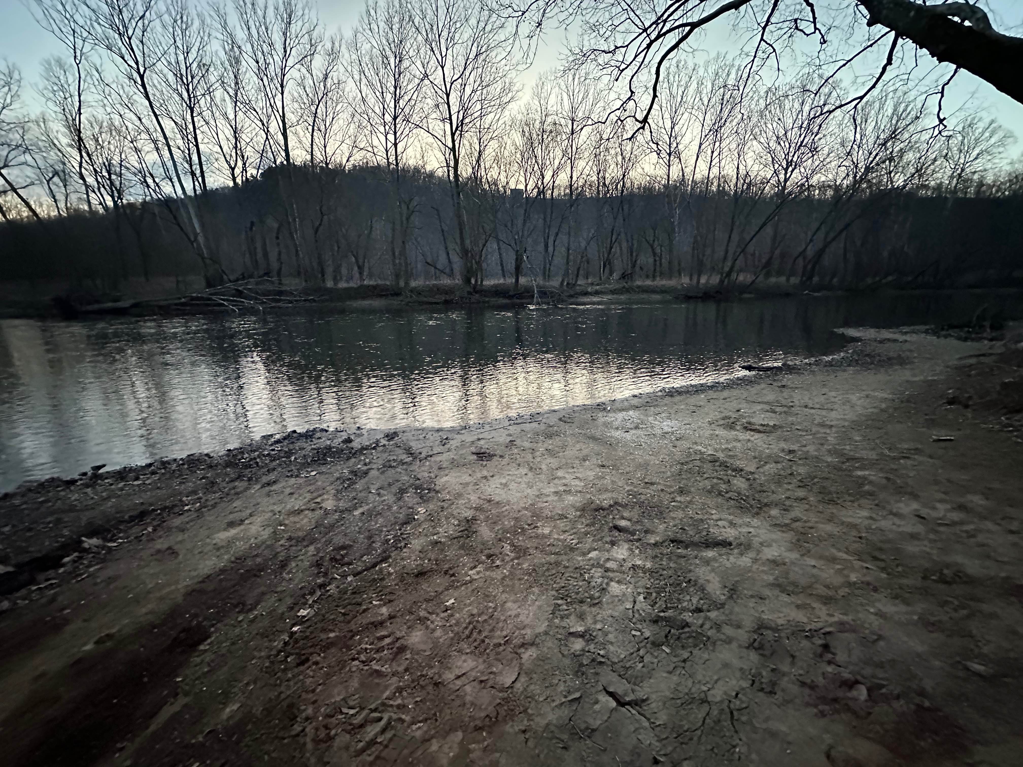
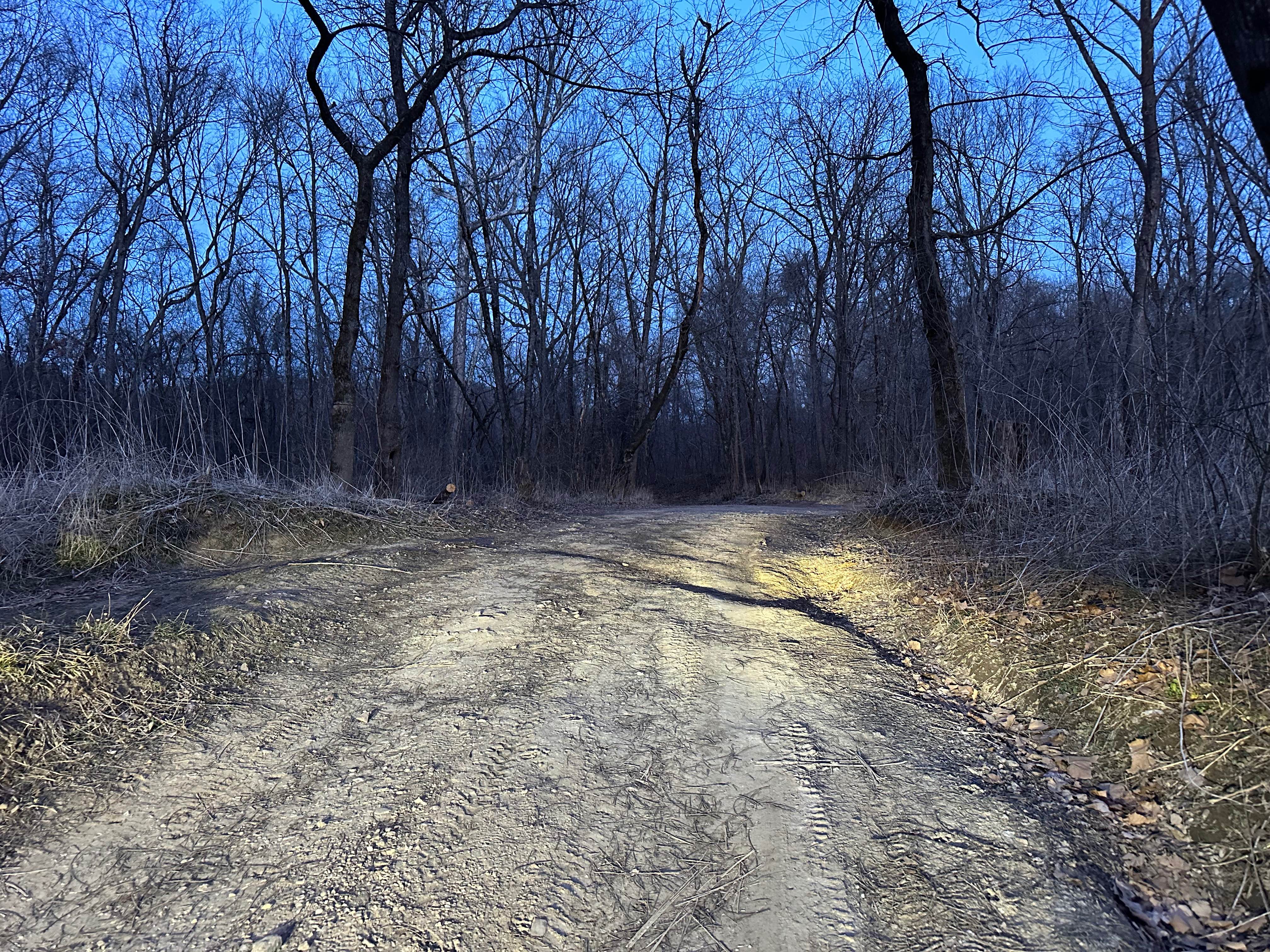
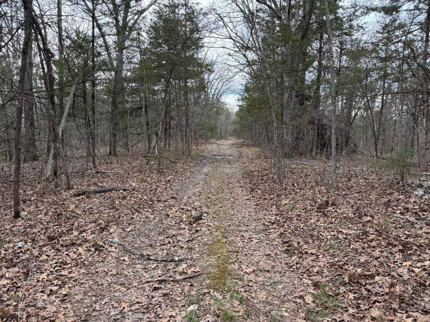
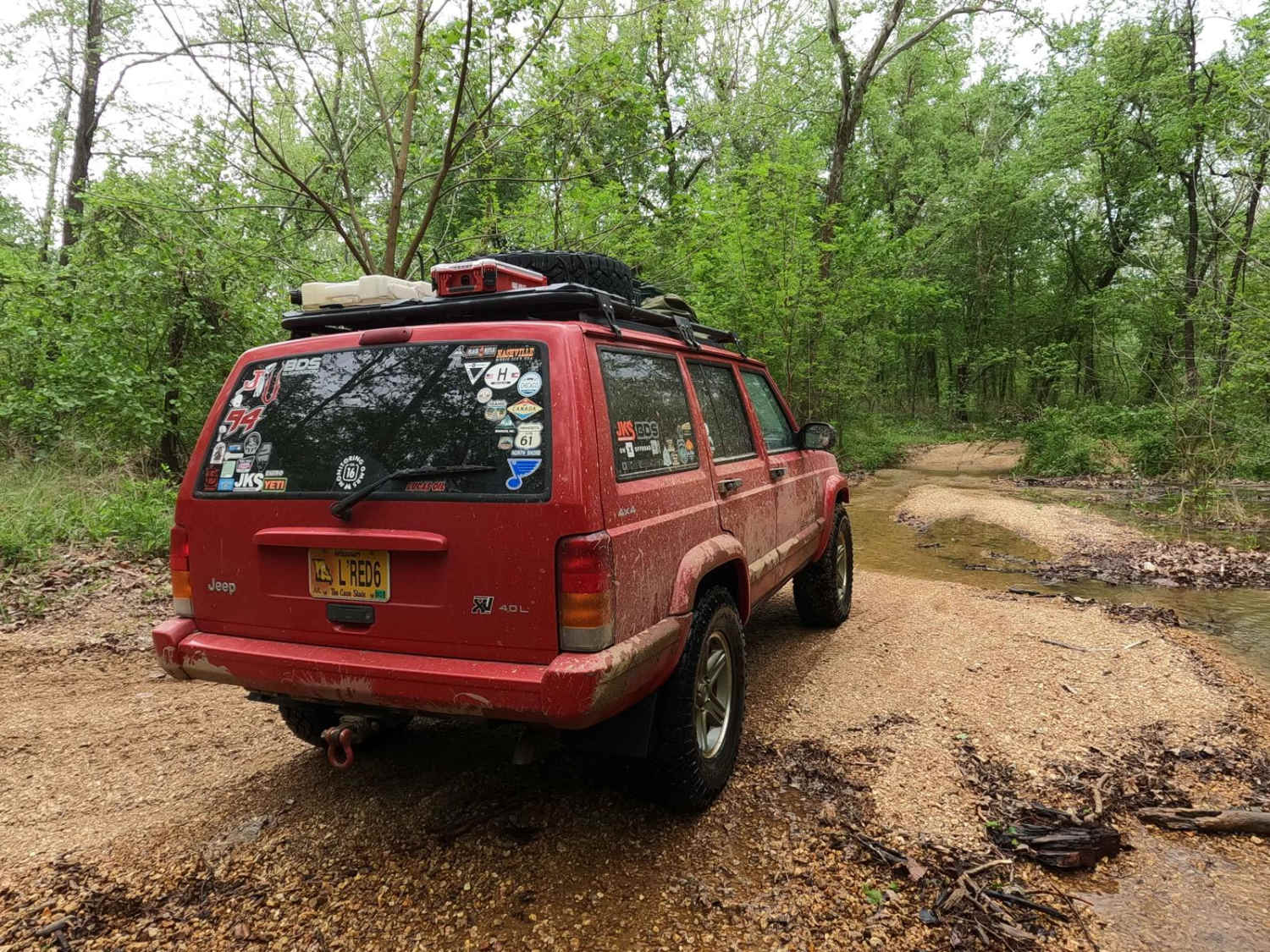
Trail Overview
This route drops you down toward the Big Piney River and offers a straightforward way to reach the water without heavy traffic or crowds. A few sections are noticeably steep, but they're built on a solid gravel base that provides decent traction in dry conditions. After rain, those same climbs can become slick and more challenging, so plan accordingly. There are also two low spots where water can flow over the road, especially during periods of high water. Take your time in those areas and assess conditions before crossing. Overall, it's an easy, remote access point to the river if you drive smart.
Photos of Booker Bend
Difficulty
Under normal dry conditions, this route falls solidly in the Easy category. The surface is primarily gravel with a stable base, and while there are a few steeper sections, they are short and manageable for most stock 4x4 vehicles and even many AWD vehicles with decent clearance. The steep gravel climbs can become slick.
History
This route sits just a short drive from Historic Route 66, one of America's most iconic highways. Long before modern interstates cut across Missouri, Route 66 carried travelers, freight, and families westward through the Ozarks. The proximity of this forest road to that corridor is a reminder that adventure here didn't start with overlanding; it started with wagons, railroads, and early highway travel. The nearby U.S. Government railroad trestle reflects another layer of infrastructure history in the region. Federal and commercial rail lines were critical to moving timber, minerals, and agricultural products out of the Ozark Highlands. While the line is not regularly active today, it remains maintained and may occasionally be used by BNSF for railcar or locomotive storage. The presence of that structure adds an industrial backbone to what otherwise feels like a quiet, river-bound gravel route.
Status Reports
Booker Bend can be accessed by the following ride types:
- High-Clearance 4x4
- SUV
- SxS (60")
- ATV (50")
- Dirt Bike
Booker Bend Map
Popular Trails

Johnson Mountain FSR 2245/ Logan Mountain FSR 2780
Fairview Church - FSR 170
Central Riverside Connector
The onX Offroad Difference
onX Offroad combines trail photos, descriptions, difficulty ratings, width restrictions, seasonality, and more in a user-friendly interface. Available on all devices, with offline access and full compatibility with CarPlay and Android Auto. Discover what you’re missing today!