Bo-Co Road 200
Total Miles
5.9
Technical Rating
Best Time
Spring, Fall, Summer, Winter
Trail Type
Full-Width Road
Accessible By
Trail Overview
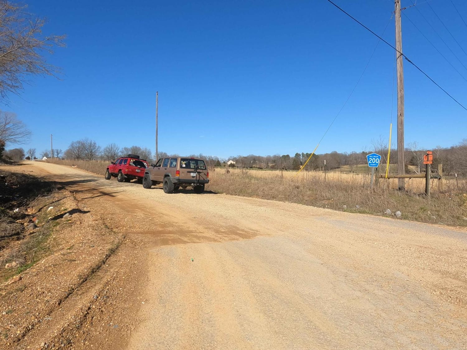
The Bollinger County Road 200 is a county backroad through northern Bollinger County. The road connects a few of the bigger funner county roads in the area. The main features of the road are mild-graded hills interlaced with low-water bridges in the valleys. In typical Bollinger County fashion maintenance is low which is what makes this area fun. The gravel is loose and rutted, in spots bare down to dirt and mud, there is mounding, potholes, and washboarding throughout. When wet conditions are in the area the low-water bridges will have more water than typical and the road channels water towards the creeks in the valleys, so expect water collection in spots.
Photos of Bo-Co Road 200
Difficulty
Expect water at the low-water bridges, rutting and washes are amplified by any rain that has come across the area. Though they are not incredibly steep, momentum will be beneficial when riding up the hills. Be cautious of the loose gravel near the ruts and edges of the road, they can turn you sideways or suck you in if not paying attention.
History
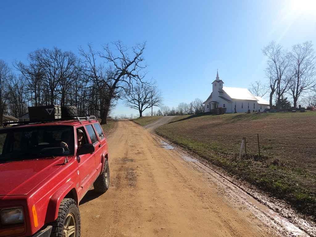
On the northern end of the Bollinger County 200, there is an old church and cemetery called the Crossroads United Methodist, the head stones show dates going back to the 1800s, not positive on the age of the structure, but it appears to be of early 1900's design.
Status Reports
Bo-Co Road 200 can be accessed by the following ride types:
- High-Clearance 4x4
- SUV
Bo-Co Road 200 Map
Popular Trails
FS 1730 to Temporal Road
Chloride Leatherwood FSR 2142
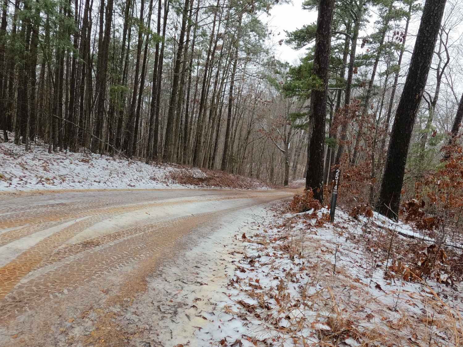
Timber Lane - FS 2514
The onX Offroad Difference
onX Offroad combines trail photos, descriptions, difficulty ratings, width restrictions, seasonality, and more in a user-friendly interface. Available on all devices, with offline access and full compatibility with CarPlay and Android Auto. Discover what you’re missing today!
