Tomahawk Road
Total Miles
18.2
Technical Rating
Best Time
Spring, Summer, Winter, Fall
Trail Type
Full-Width Road
Accessible By
Trail Overview
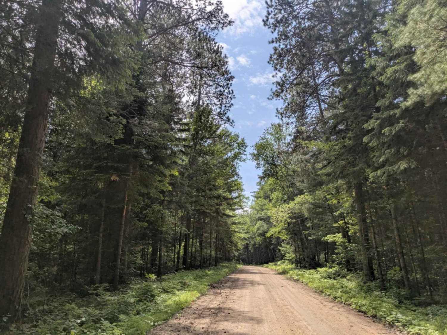
Tomahawk Road is a long, well-traveled gravel and dirt road that serves as a main thoroughfare through this section of the forest. ATVs are not allowed on Tomahawk Trail until Trail 386 C in the vicinity of the Prospectors Trail, but there are parking areas along the trail before 386 C to offload ATVs from trailers. The surface is generally well-maintained but can be dusty and corrugated in places, with occasional bumps that make for a rougher ride. Due to its role as a primary access route, traffic can be relatively heavy, including recreational users and forest service vehicles. The trail winds through wooded terrain with a mix of gentle ascents and descents, and several trails branch off along the way. It also passes a few lakes and ponds, offering scenic views through breaks in the trees. Before the bridge near the end of the trail, there is a large open clearing that includes a fire ring. While it appears suitable for dispersed camping, it is signed as a helicopter landing zone and may not always be appropriate for overnight use. The trail then crosses a lake via a bridge and ends at a parking area with canoe access and toilets, marking the entry to the Boundary Waters Canoe Area Wilderness. This area sees a mix of paddlers, day-trippers, and forest users accessing the portage route. The trail's final clearing, located just before the wilderness boundary, may be suitable for dispersed camping. As of July 2025, it was occupied by a fifth-wheel trailer--the first dispersed camping setup noted along this trail despite its accessibility. While toilets are available at the canoe access, the rest of the trail offers no amenities such as potable water or trash disposal. Cell coverage is inconsistent and may not be available in some stretches. Dispersed camping is generally allowed in the Superior National Forest outside the Boundary Waters, but travelers should confirm current regulations with local authorities. As always, practice Leave No Trace principles and be entirely self-sufficient.
Photos of Tomahawk Road


Difficulty
This forest trail is well-maintained and used by adventurers. The route is wide and clear of debris, with established tread and minimal overgrowth, making it ideal for a smooth and scenic drive.
History
The Prospector ATV trail system is a developing network of over 250 miles in northeastern Minnesota that will connect the towns of Ely, Babbitt, Embarrass, Soudan, and Tower, as well as state parks like Bear Head Lake and Lake Vermilion.
Status Reports
Tomahawk Road can be accessed by the following ride types:
- High-Clearance 4x4
- SUV
Tomahawk Road Map
Popular Trails

Barker Lake

Nester Creek Pit

Forest Service Road 459
The onX Offroad Difference
onX Offroad combines trail photos, descriptions, difficulty ratings, width restrictions, seasonality, and more in a user-friendly interface. Available on all devices, with offline access and full compatibility with CarPlay and Android Auto. Discover what you’re missing today!