Shoe Lake Road
Total Miles
16.6
Technical Rating
Best Time
Spring, Summer, Fall, Winter
Trail Type
Full-Width Road
Accessible By
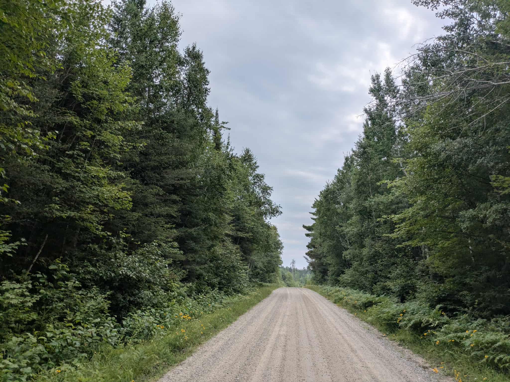
Trail Overview
Shoe Lake Road is accessed from Trail 309 and stretches for a considerable distance through forested terrain. The route includes a mix of ascents and descents as it winds through the woods. As of July 2025, recent storms had caused several trees to fall across the trail, and there was noticeable water erosion, particularly on the Arrowhead side. While some sections of the trail are relatively smooth, other stretches are marked by potholes, puddles, and uneven surfaces that require careful navigation. The trail passes a number of private residences, and local traffic can be expected, including utility crews. Although the drive offers a secluded feel, it does not provide any formal camping options. There are no amenities such as trash disposal or a potable water source, and cell service may be limited or unavailable along parts of the route.
Photos of Shoe Lake Road


Difficulty
This forest trail is well-maintained and used daily by residents and adventurers. The route is wide and clear of debris, with established tread and minimal overgrowth, making it ideal for a smooth and scenic drive.
Status Reports
Shoe Lake Road can be accessed by the following ride types:
- High-Clearance 4x4
- SUV
- SxS (60")
- ATV (50")
- Dirt Bike
Shoe Lake Road Map
Popular Trails

Forest Service Road 467
Elephant Lake

Johnson Farm Road

The onX Offroad Difference
onX Offroad combines trail photos, descriptions, difficulty ratings, width restrictions, seasonality, and more in a user-friendly interface. Available on all devices, with offline access and full compatibility with CarPlay and Android Auto. Discover what you’re missing today!