Murray Road
Total Miles
4.2
Technical Rating
Best Time
Spring, Summer, Fall, Winter
Trail Type
Full-Width Road
Accessible By
Trail Overview
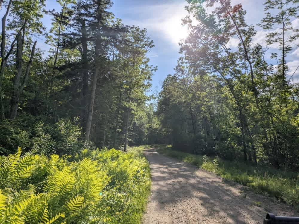
This off-road trail, designated for ATV, SXS, and highway-legal vehicles, begins just off Highway 1 and follows a wide, well-maintained gravel route through dense forest. The initial section of the trail is broad and smooth, winding gently until it intersects a private road marked clearly with a stop sign and private access signage. From this intersection, the trail veers left and continues with some light corrugation before meeting up with the Prospectors Trail. At the split, the route turns right and begins to narrow. The terrain gradually becomes more varied, with a series of ascents and descents as it approaches the Taconite Trail. Along this stretch, the trail passes a clearing that contains old, weathered machinery, adding a bit of character to the route. From here, it transitions into a smooth two-track and reconnects with the Prospectors Trail once again. The final leg leads to a parking area adjacent to a hiking trail. Beyond this point, the trail becomes a private road and is no longer open for travel. There are no formal campsites along the route, and there are no facilities such as trash bins or water sources. Cell service may be limited throughout the area.
Photos of Murray Road


Difficulty
This forested route is lightly maintained and typically sees use during peak seasons. Expect occasional fallen limbs, narrowing sections from plant growth, and minor obstacles.
History
The David-Dill Taconite State Trail stretches about 165 miles from Grand Rapids to Ely, linking communities and state parks across northern Minnesota. Originally built as a multi-use route, it is best known today as a premier snowmobile corridor, though sections are also open for hiking, horseback riding, biking, and OHV use in warmer months. The trail winds through forests of birch, aspen, and pine, connecting Bear Head Lake, Lake Vermilion-Soudan, and McCarthy Beach State Parks while intersecting with the David Dill/Arrowhead Trail. The Prospector ATV Trail System, also known as the Prospectors Loop, is a newer network under development that will eventually span more than 250 miles. Designed to connect Ely, Babbitt, Tower, Soudan, and Embarrass, the system includes new bridges and boardwalks, such as the Beaver River crossing, while also incorporating existing forest and logging roads. The trail is open to Class 1 and 2 ATVs as well as off-highway motorcycles, providing an important link between the Taconite State Trail and nearby towns. Its creation not only improves recreational opportunities but also supports tourism and local economies across the Iron Range.
Status Reports
Murray Road can be accessed by the following ride types:
- High-Clearance 4x4
- SUV
- SxS (60")
- ATV (50")
- Dirt Bike
Murray Road Map
Popular Trails

Twisted Sister


The onX Offroad Difference
onX Offroad combines trail photos, descriptions, difficulty ratings, width restrictions, seasonality, and more in a user-friendly interface. Available on all devices, with offline access and full compatibility with CarPlay and Android Auto. Discover what you’re missing today!