McGrath to Denham
Total Miles
18.9
Technical Rating
Best Time
Spring, Summer, Fall
Trail Type
60" Trail
Accessible By
Trail Overview
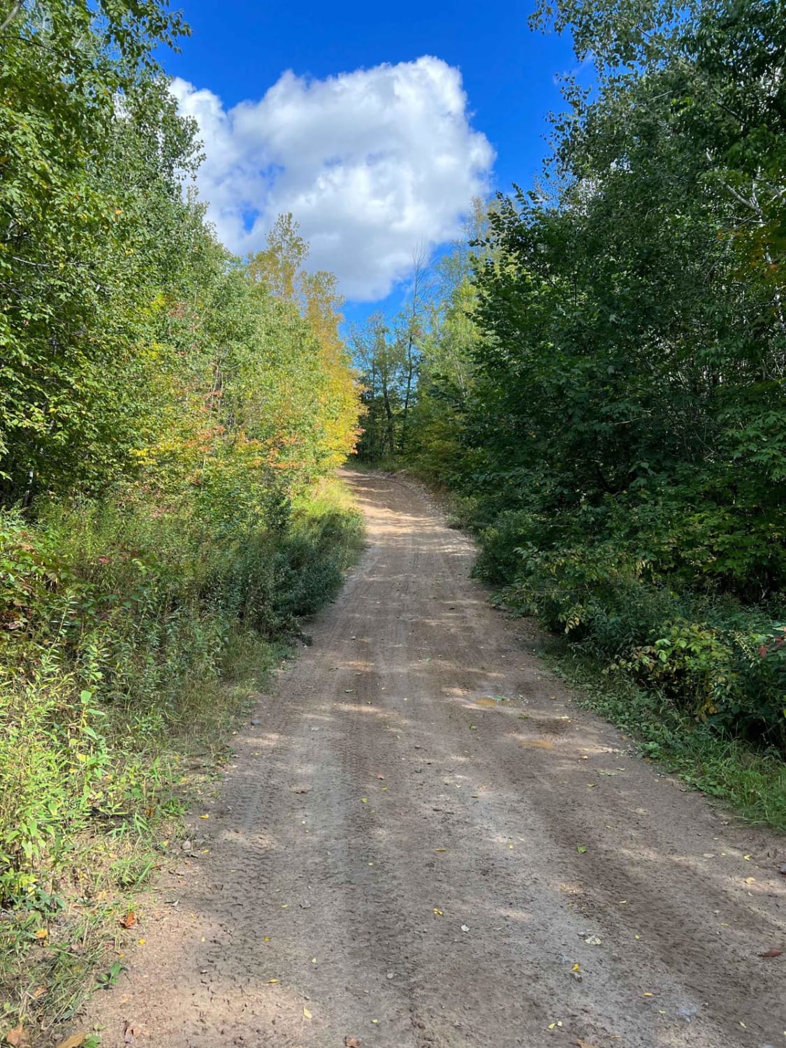
McGrath to Denham on the Soo Line South is a section of converted rail grade. It's 19 miles long and takes about 40 minutes with an average speed of 28.5 MPH. This section has a few muddy areas due to spring thaw and could be wet during rainy times later in the season.
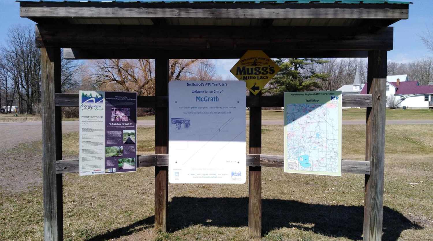
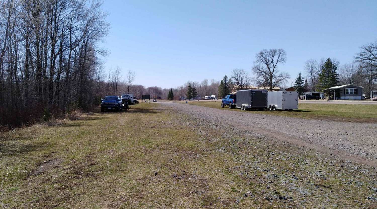
Photos of McGrath to Denham
Difficulty
The section is easy and flat converted rail grade. There's no need for 4x4 or to lock the rear differential. The surface is packed gravel without large rocks. Some of the areas have larger stones in the gravel but they're not an issue. Do pay attention to the edge of the trail, as it can have steep backs since it is converted rail grade. Bridge crossings are well-marked and are the only areas where you need to use extra care and slow down.
History
Per signage in the parking lot, the city of McGrath has a logging history around 1895 when lumber baron James McGrath had logging camps in the area. Logs were floated down the snake river to Stillwater, Minnesota, until railroads came to the area. In anticipation of the railroad, James McGrath donated 40 acres of land, and in 1908, the townsite of McGrath was plotted. McGrath was a town where the steam trains stopped to fill with water.
Status Reports
McGrath to Denham can be accessed by the following ride types:
- SxS (60")
- ATV (50")
- Dirt Bike
McGrath to Denham Map
Popular Trails

River Forest Road

Narrow Foot Hills Highway

The onX Offroad Difference
onX Offroad combines trail photos, descriptions, difficulty ratings, width restrictions, seasonality, and more in a user-friendly interface. Available on all devices, with offline access and full compatibility with CarPlay and Android Auto. Discover what you’re missing today!