County Road 6
Total Miles
2.4
Technical Rating
Best Time
Summer, Winter, Fall, Spring
Trail Type
Full-Width Road
Accessible By
Trail Overview
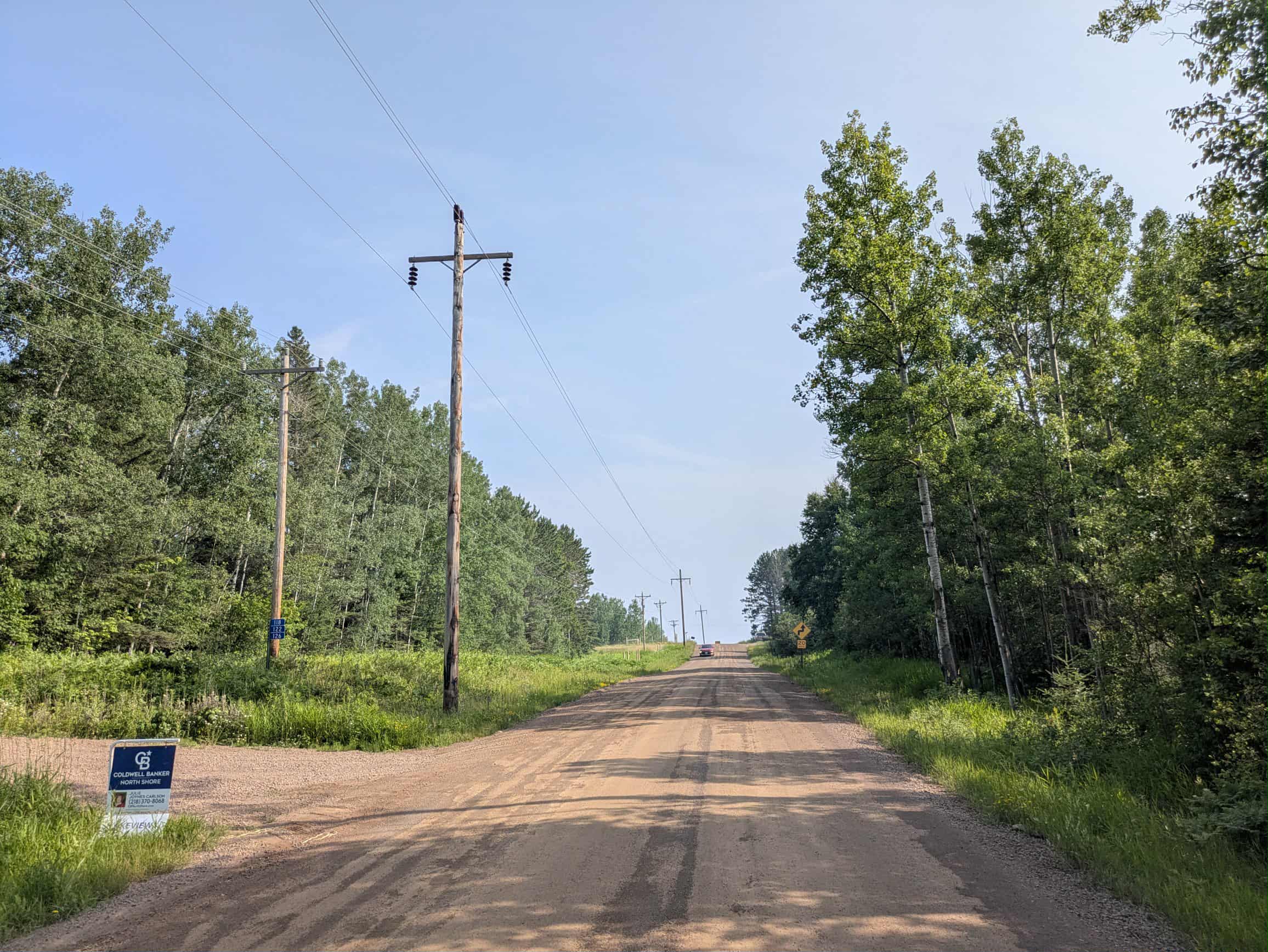
County Road 6 is a wide, well-maintained route that begins and ends at Highway 7, forming a loop through a forested area. Along the way, it provides access to a hiking trailhead with a designated parking area. While the drive offers pleasant views and passes through attractive woodland, it also runs through a residential area and sees a fair amount of local traffic. Drivers should be aware of sharp curves, ascents and descents, and vehicles traveling at high speeds. The road is generally in good condition, but caution is advised due to the mix of recreational and residential use. Although the trail passes close to natural features and hiking access points, it does not offer any dispersed or formal campsites. There are no services such as potable water or trash disposal along the route, and cell phone coverage may be unreliable in certain sections.
Photos of County Road 6

Difficulty
This forest trail is well-maintained and used by residents and adventurers. The route is wide and clear of debris, with established tread and minimal overgrowth, making it ideal for a smooth and scenic drive.
Status Reports
County Road 6 can be accessed by the following ride types:
- High-Clearance 4x4
- SUV
County Road 6 Map
Popular Trails

North Boundary Trail


County Road 33
The onX Offroad Difference
onX Offroad combines trail photos, descriptions, difficulty ratings, width restrictions, seasonality, and more in a user-friendly interface. Available on all devices, with offline access and full compatibility with CarPlay and Android Auto. Discover what you’re missing today!