Yuma Hills
Total Miles
13.2
Technical Rating
Best Time
Fall
Trail Type
Full-Width Road
Accessible By
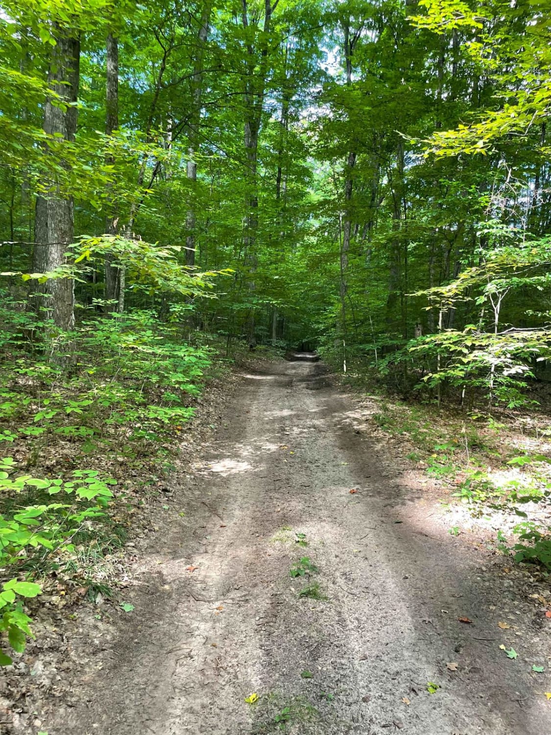
Trail Overview
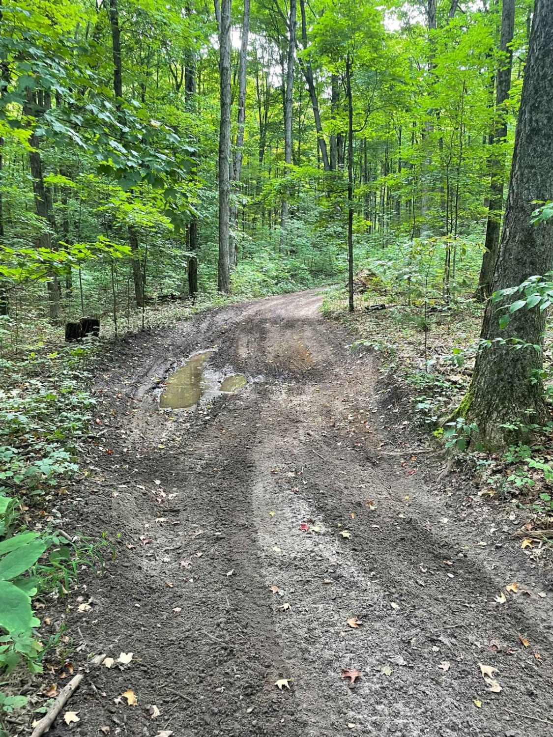
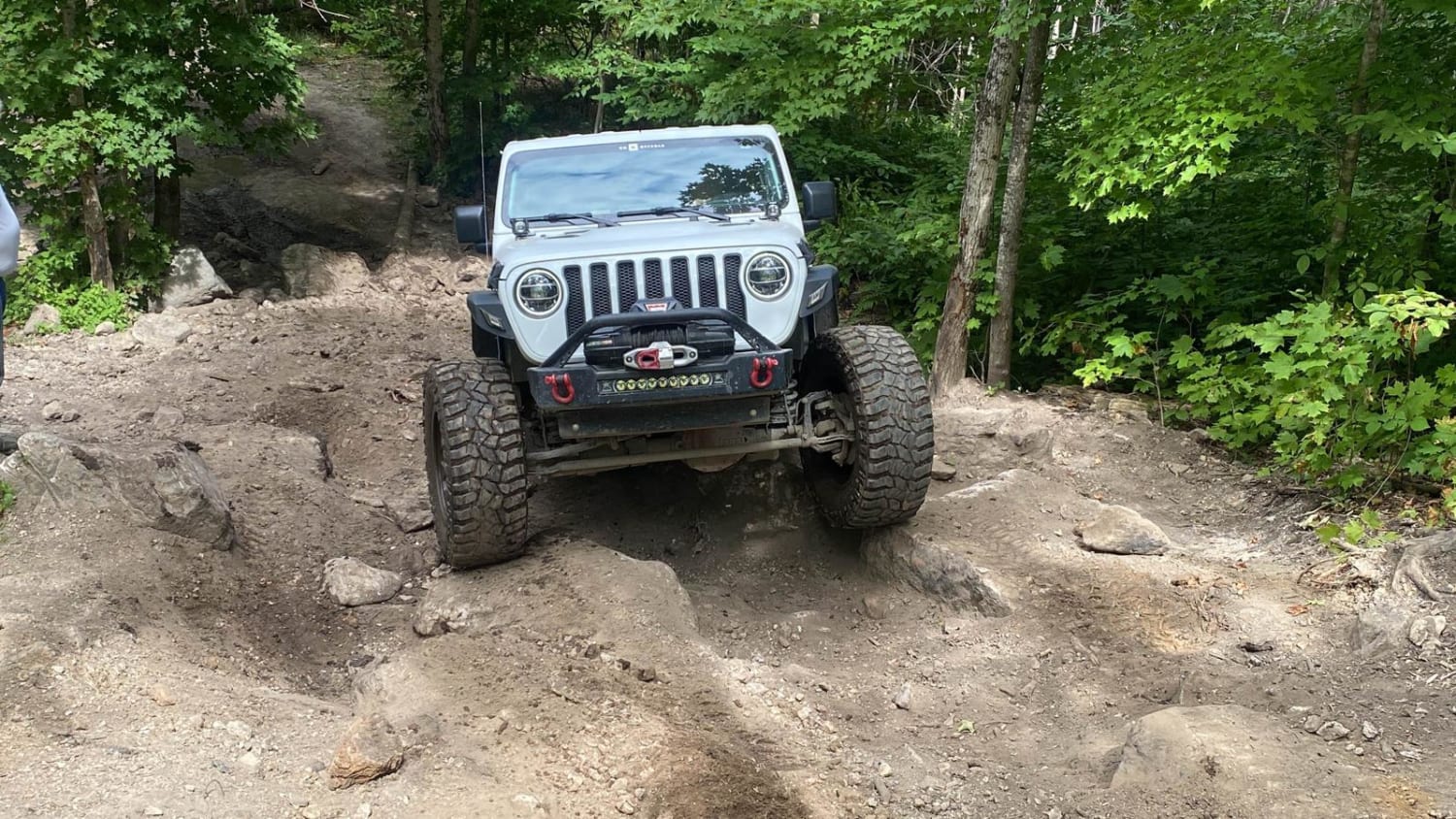
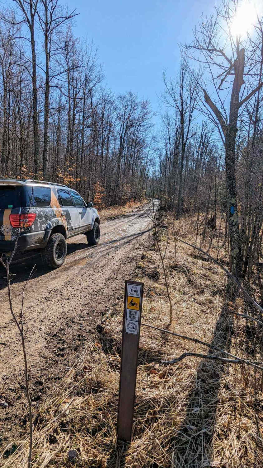
This route consists of mostly dirt and sand roads. There are some mud holes, especially after wet weather. Multiple off-camber hill climbs are the highlight of this trail and what makes it different from the surrounding area. Most lifted vehicles with 4-low should be able to navigate these trails regardless of wheelbase, but choosing good lines is important on many of the washouts. These are all Forest Service roads, so if you wish to branch off or take alternate roads, be sure to consult the Manistee National Forest Motor Vehicle Use Maps to ensure you are on open and legal roads. Many side roads have been closed due to trash, litter, and erosion; please be courteous and clean up after yourself to ensure these stay open.
Photos of Yuma Hills
Difficulty
The washes are off-camber with tree roots, stumps, and fallen logs to navigate. Mud can be 20 inches deep or more in places. There are no water crossings but springs empty into the trail, so the potential for very muddy conditions exists. It is strongly recommended to use 4-low and air down before the uphill off-camber sections. Some sections of this trail are open to motor vehicles only, not ATVs or dirt bikes. Consult the Motor Vehicle Use Map for the Manistee National Forest.
Status Reports
Yuma Hills can be accessed by the following ride types:
- High-Clearance 4x4
- SUV
- SxS (60")
Yuma Hills Map
Popular Trails
Mu's Nemesis/Halfrish Hill

Harmon Road

The onX Offroad Difference
onX Offroad combines trail photos, descriptions, difficulty ratings, width restrictions, seasonality, and more in a user-friendly interface. Available on all devices, with offline access and full compatibility with CarPlay and Android Auto. Discover what you’re missing today!