West 40 & 40 1/2 Road
Total Miles
8.7
Technical Rating
Best Time
Spring, Summer, Fall
Trail Type
Full-Width Road
Accessible By
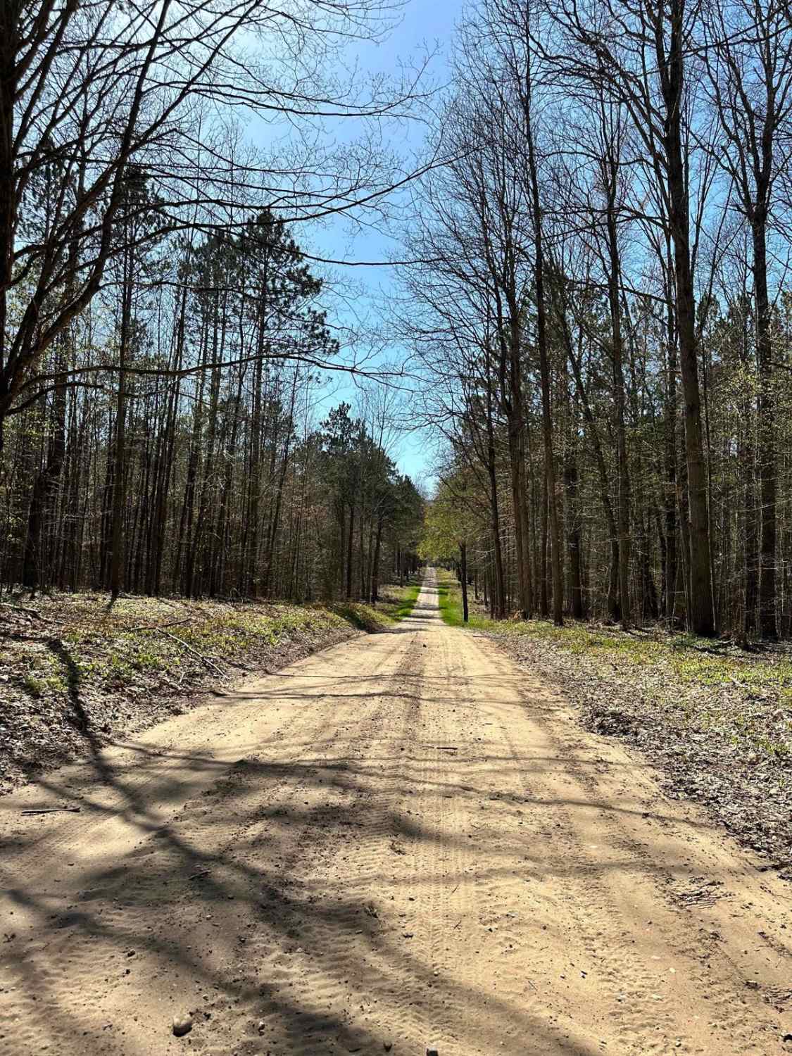
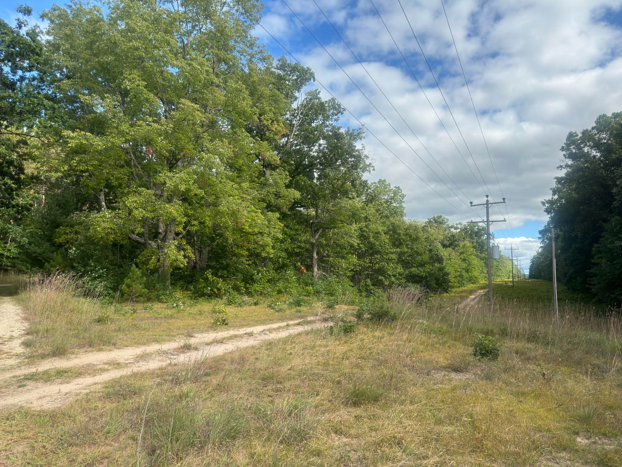
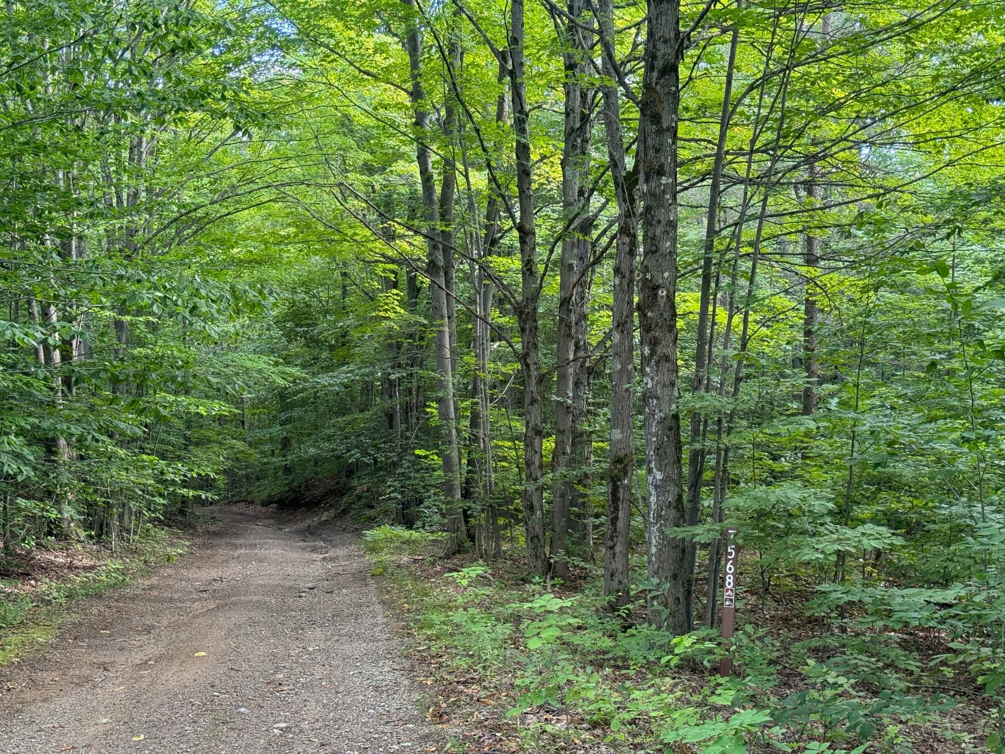
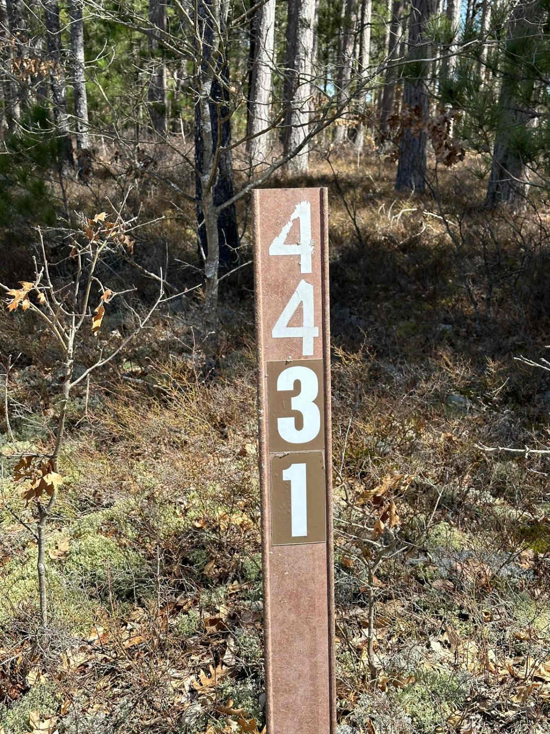
Trail Overview
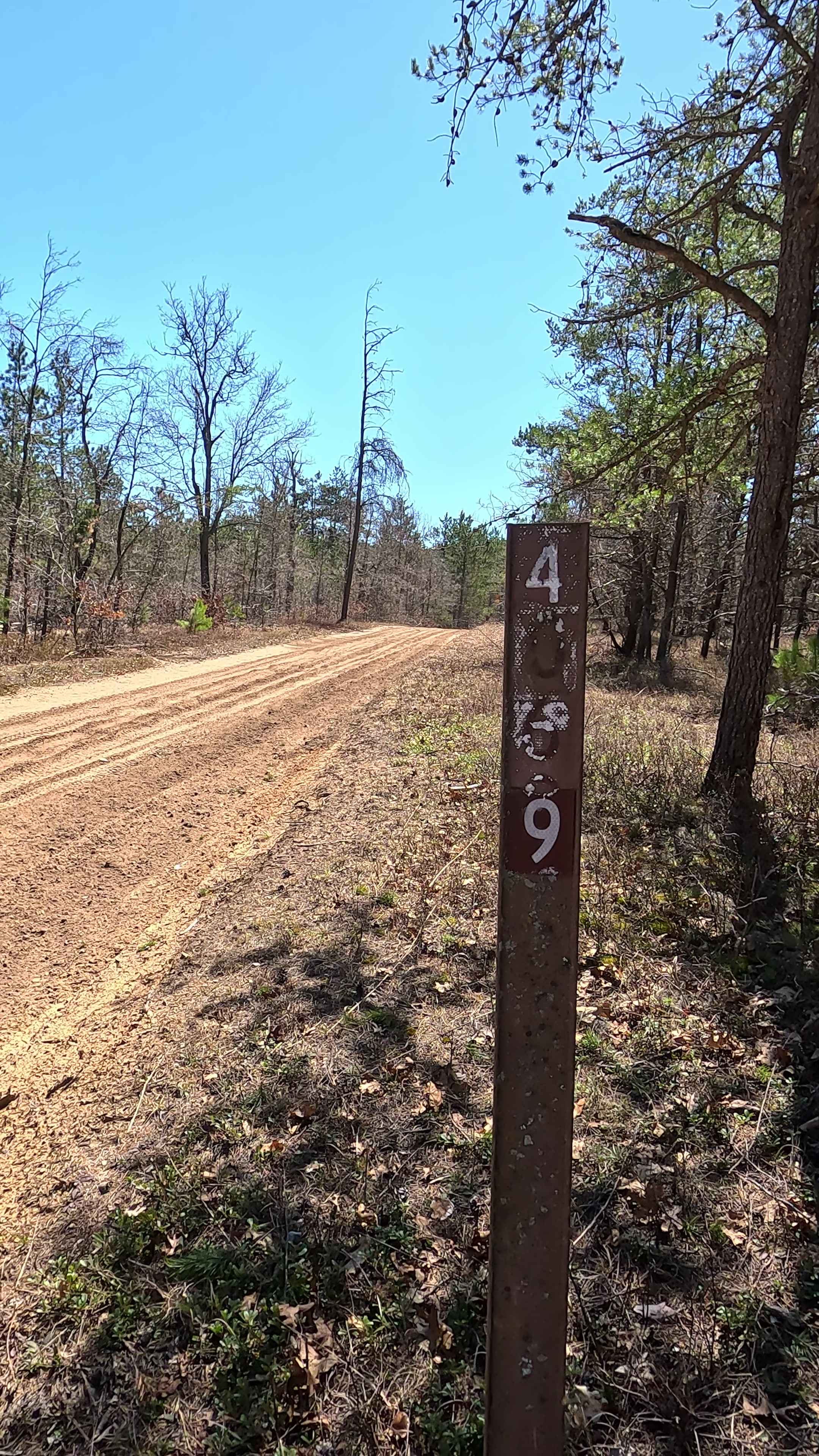
West 40 & 40 1/2 Road is part of the Cadillac Area ORV/OHV Scenic Ride and has access to gas. This section of the Cadillac Area Scenic Ride is a DOT road open to ORV use only for access to gas. This section is a maintained gravel road. This is a family-friendly ORV/OHV ride created by the Cadillac Area Visitors Bureau through a collaboration of local organizations working alongside state and federal officials through the national forest on open Wexford County and US Forest Service roads. This is not a designated DNR Route/Trail, and it is not a US Forest Service Route/Trail. Simply put, the scenic ride shown here is a recommended ride to great points of interest in the Cadillac Area, where you can experience the beauty of the area along with the Manistee National Forest. Think of a fall color tour, but on an ORV/OHV. This is only a recommended scenic ride on open roads. There are many more roads open to ORV/OHV use in the region. Pick up a copy of the US Forest Service Motor Vehicle Use Map or visit the Wexford County Road Commission website for more information on roads open to ORV/OHV use.
Photos of West 40 & 40 1/2 Road

Difficulty
This section is a DOT-maintained gravel road. This road is used for access to gas from the Cadillac Area ORV/OHV Scenic Ride.
Status Reports
West 40 & 40 1/2 Road can be accessed by the following ride types:
- High-Clearance 4x4
- SUV
- SxS (60")
- ATV (50")
- Dirt Bike
West 40 & 40 1/2 Road Map
Popular Trails
The onX Offroad Difference
onX Offroad combines trail photos, descriptions, difficulty ratings, width restrictions, seasonality, and more in a user-friendly interface. Available on all devices, with offline access and full compatibility with CarPlay and Android Auto. Discover what you’re missing today!