Upper River Road
Total Miles
8.1
Technical Rating
Best Time
Spring, Summer, Fall, Winter
Trail Type
Full-Width Road
Accessible By
Trail Overview
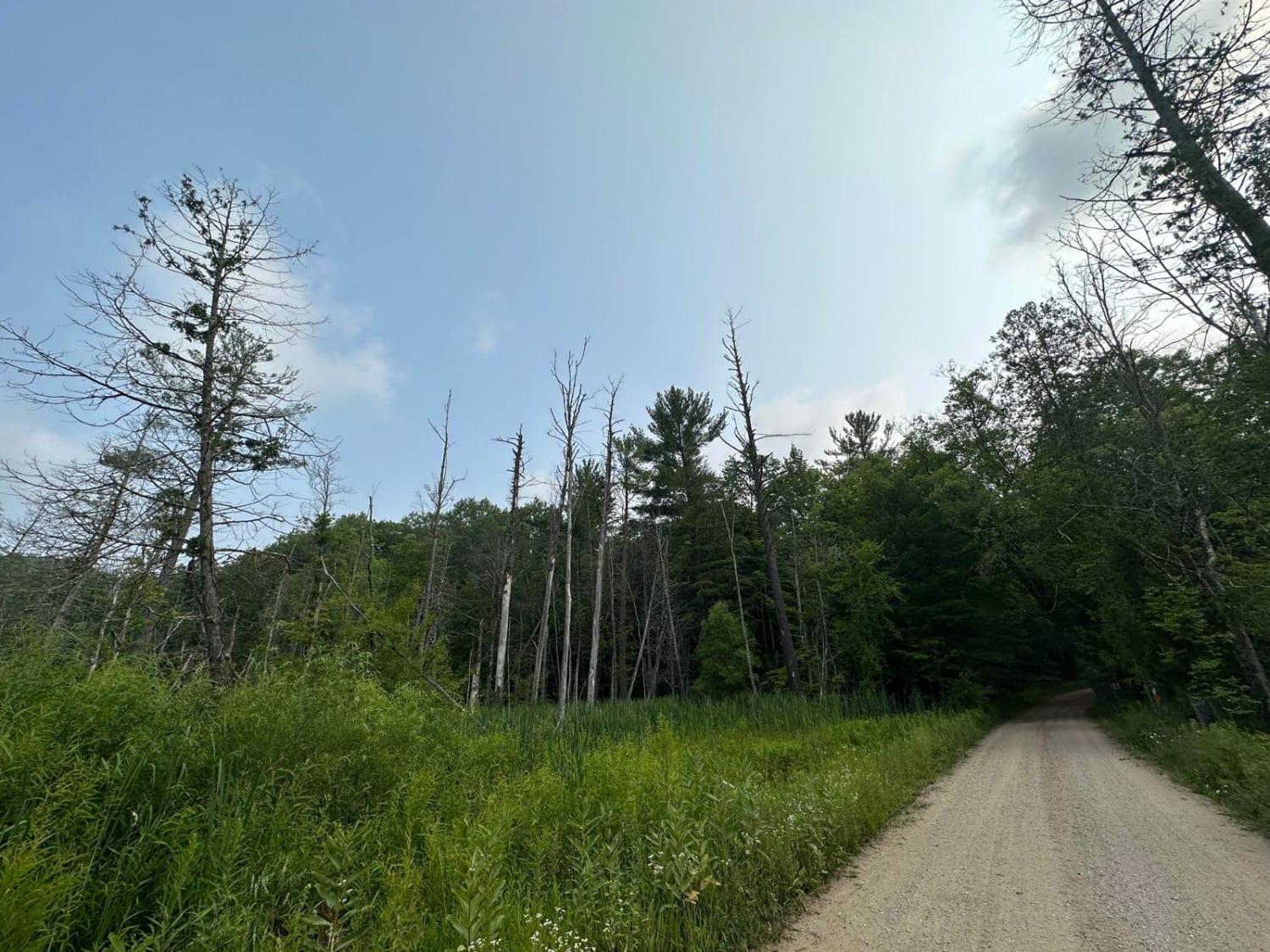
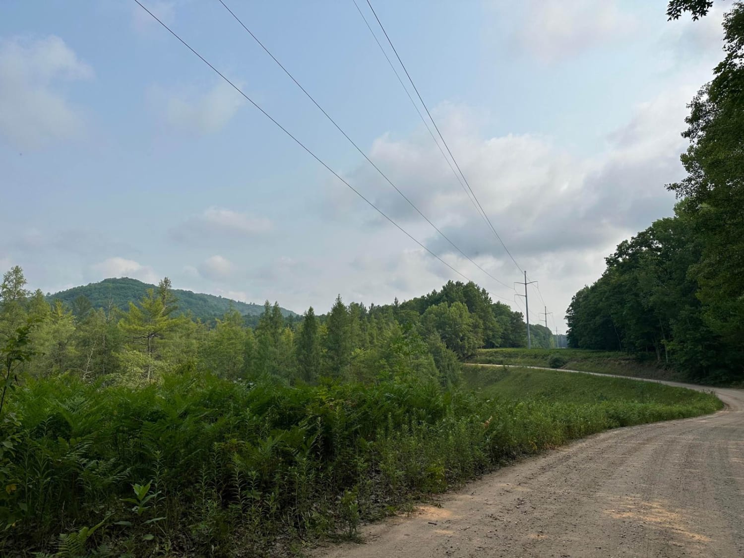
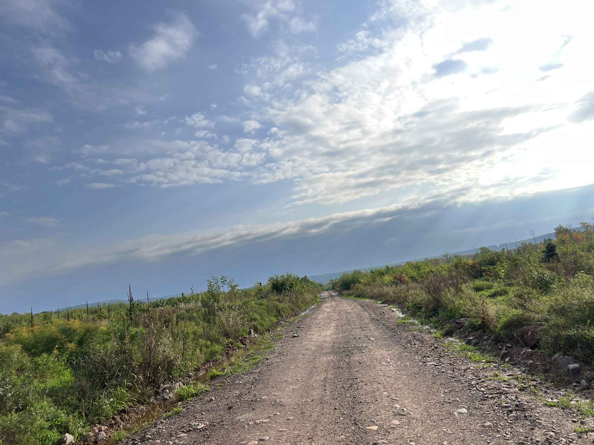
Upper River Road travels north and south through Manistee National Forest alongside the Manistee River. On the south side of the trail, there is a trailhead parking for the nearby hiking trails. On the north side, there is a spot to stop and look at Hodenpyl Dam. Upper River Rd has elevation changes and long expansive views of the forest and of the river. This road gives some amazing elevation changes that can be more difficult to find in Michigan. The Road is mostly two vehicles wide with a few spots to pull off and get a nice view of the river. The road is very well-graded. There are dispersed camping spots along the road. The area is busy with hikers and people using it to access the river so spots fill up fast.
Photos of Upper River Road
Difficulty
The trail is mostly two vehicles wide with nice sweeping corners and gentle grades through the woods.
History
Hodenpyl Dam was named after Anton G. Hodenpyl, one of the founders of what was then Consumers Power. It produces up to 17,000 kilowatts (about 48 million kilowatt-hours per year), enough electricity to serve the annual power needs of 5,000 Michigan households.
Status Reports
Upper River Road can be accessed by the following ride types:
- High-Clearance 4x4
- SUV
- SxS (60")
- ATV (50")
- Dirt Bike
Upper River Road Map
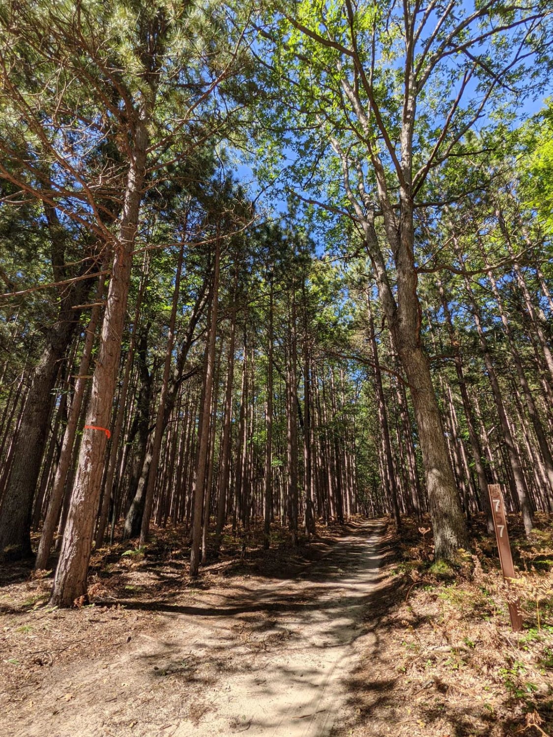
Popular Trails

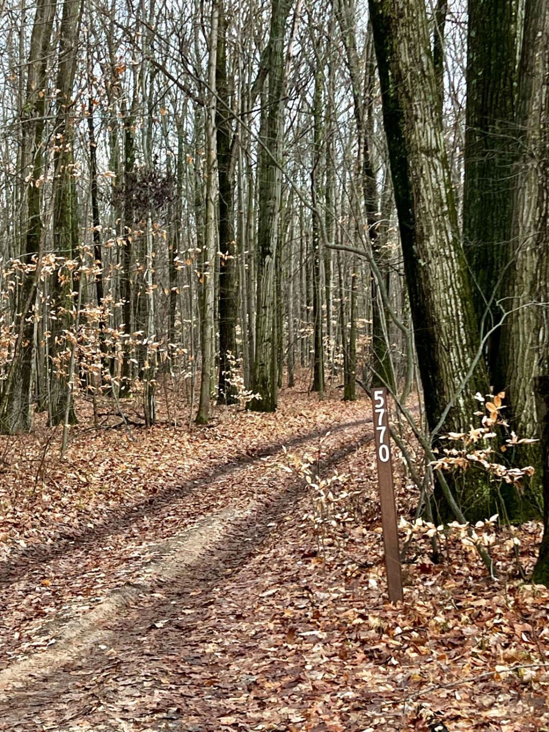
Beaver Lookout Trail (NFS 5770)
Trail P - FDR 655
The onX Offroad Difference
onX Offroad combines trail photos, descriptions, difficulty ratings, width restrictions, seasonality, and more in a user-friendly interface. Available on all devices, with offline access and full compatibility with CarPlay and Android Auto. Discover what you’re missing today!