Trail 38
Total Miles
1.4
Technical Rating
Best Time
Spring, Summer, Fall, Winter
Trail Type
Full-Width Road
Accessible By
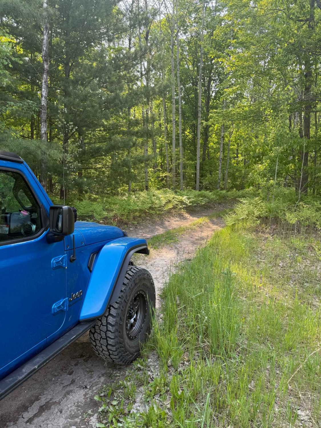
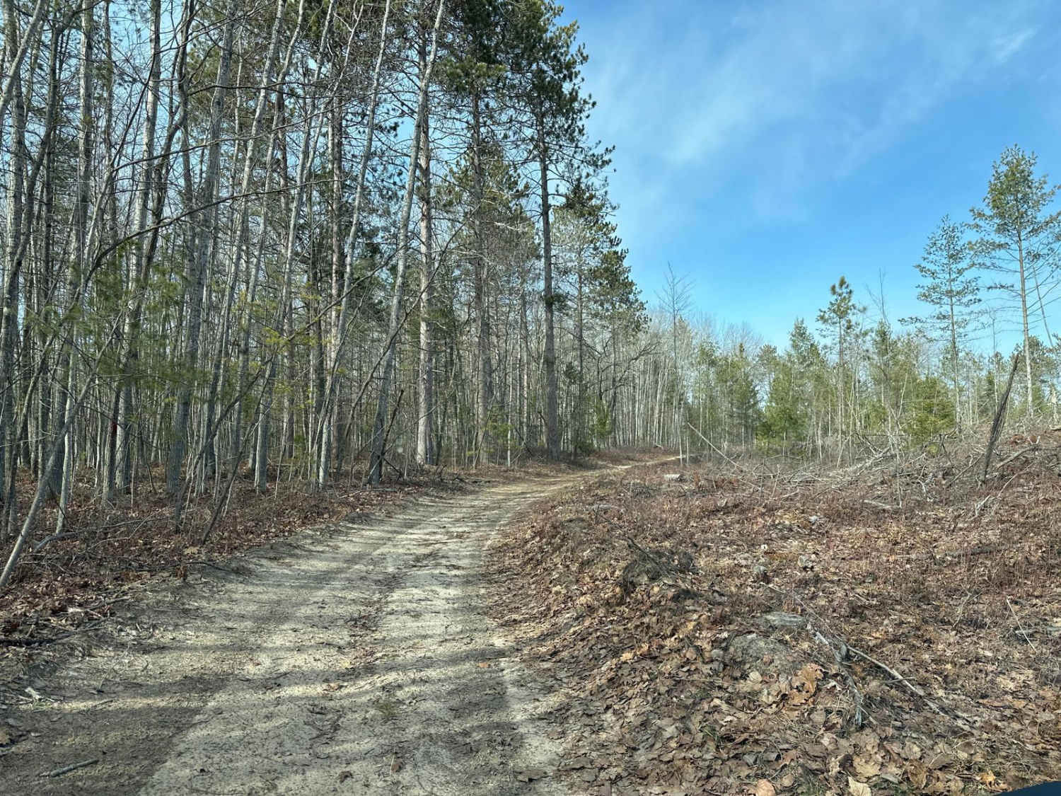
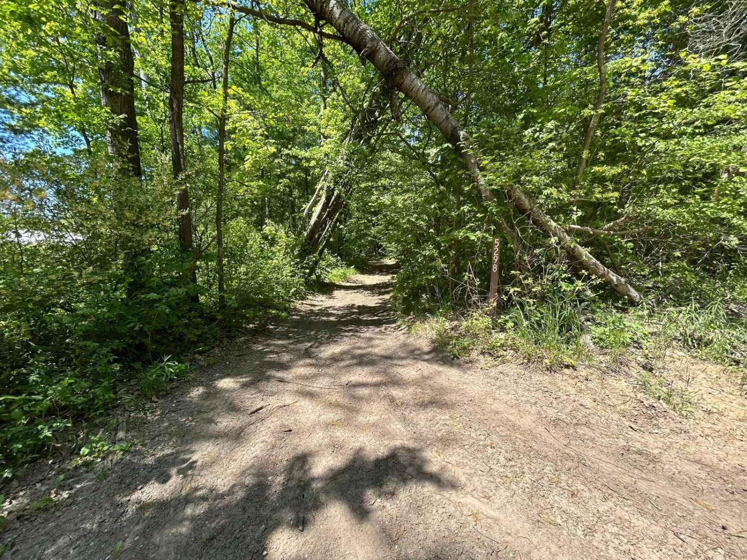
Trail Overview
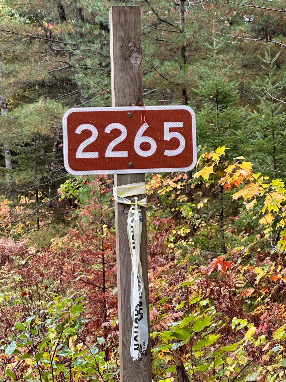
License Plate Required! Trail 38 is an awesome Michigan two-track trail, located just south of Wesleyan Campground. Connecting N 39 Road to N 37 Road, this trail has a lot to offer. The surface consists of a combination of sand, dirt, and grass, and weaves through an abundant section of Aspen and Pine trees within the Cadillac Forest Management Unit. There's a lot of lush plant life along this trail to be seen. Like most of Michigan trails, conditions are dependent on the weather. Recent rainfall can cause mud/water holes that can get rutted out quickly. Most of this trail is only wide enough for 1 vehicle with limited places to pass. There is a fair amount of overgrowth along the trail, so please use caution. Starting from the east end of the trail, at mile marker 0.9 you'll find an open field accessible for dispersed camping. If you plan on dispersed camping, PLEASE TREAD LIGHTLY, and seek more information at the local DNR Office/Ranger Station prior to camping here. Regardless of the conditions, this is a great trail for everyone to enjoy!
Photos of Trail 38

Difficulty
This was only given a Technical Rating & Difficulty of 2 due to the trail typically only being wide enough for 1 to 2 vehicles. Otherwise, this trail could be rated as a 1.
Status Reports
Trail 38 can be accessed by the following ride types:
- High-Clearance 4x4
- SUV
- SxS (60")
- ATV (50")
- Dirt Bike
Trail 38 Map
Popular Trails
Devils Lake Loop 2

Mild to Wild
The onX Offroad Difference
onX Offroad combines trail photos, descriptions, difficulty ratings, width restrictions, seasonality, and more in a user-friendly interface. Available on all devices, with offline access and full compatibility with CarPlay and Android Auto. Discover what you’re missing today!