Tomahawk
Total Miles
2.7
Technical Rating
Best Time
Spring
Trail Type
Full-Width Road
Accessible By
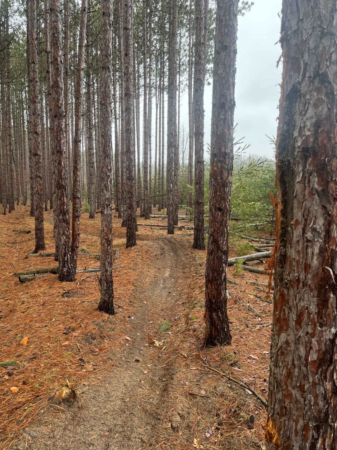
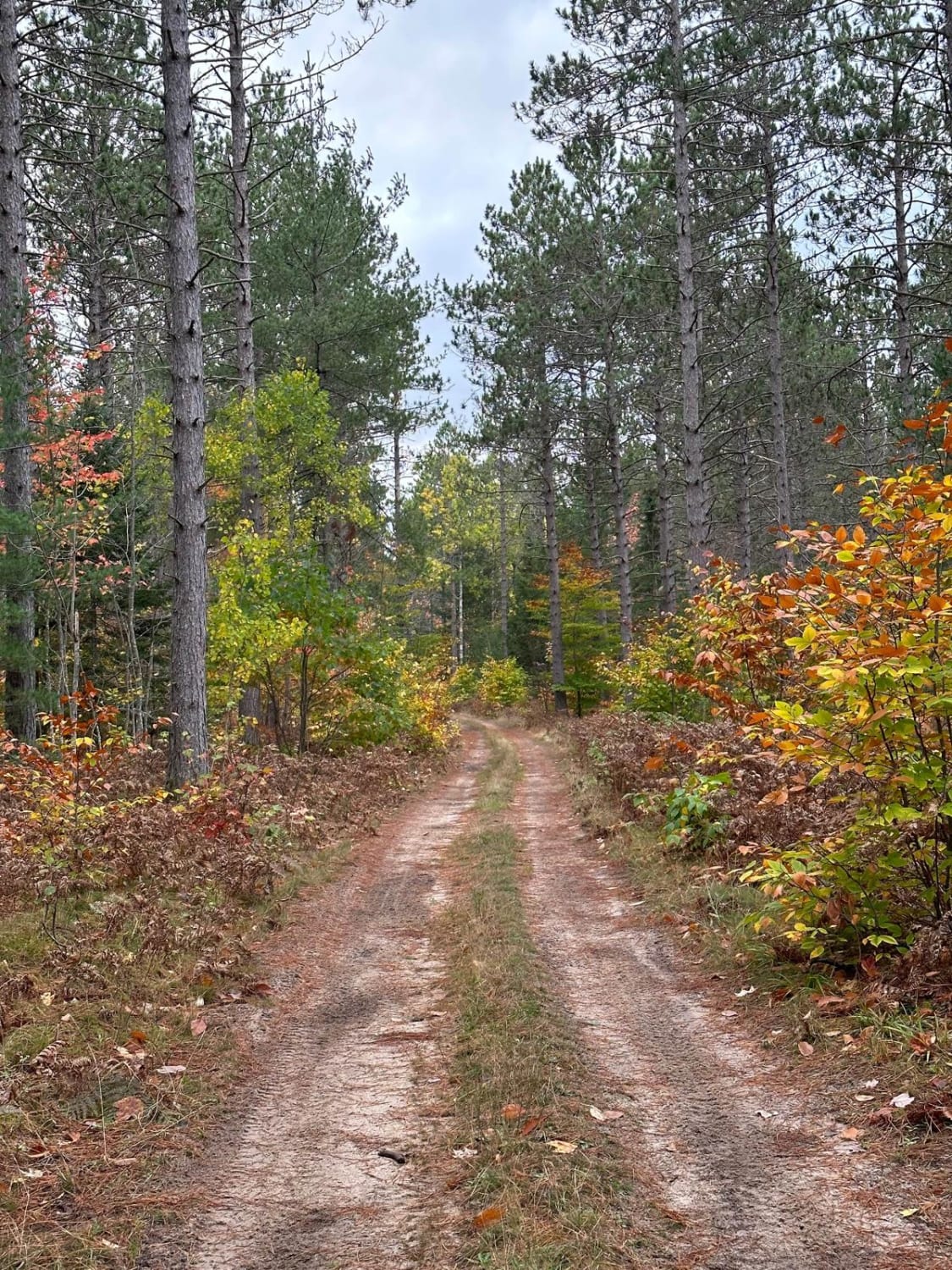
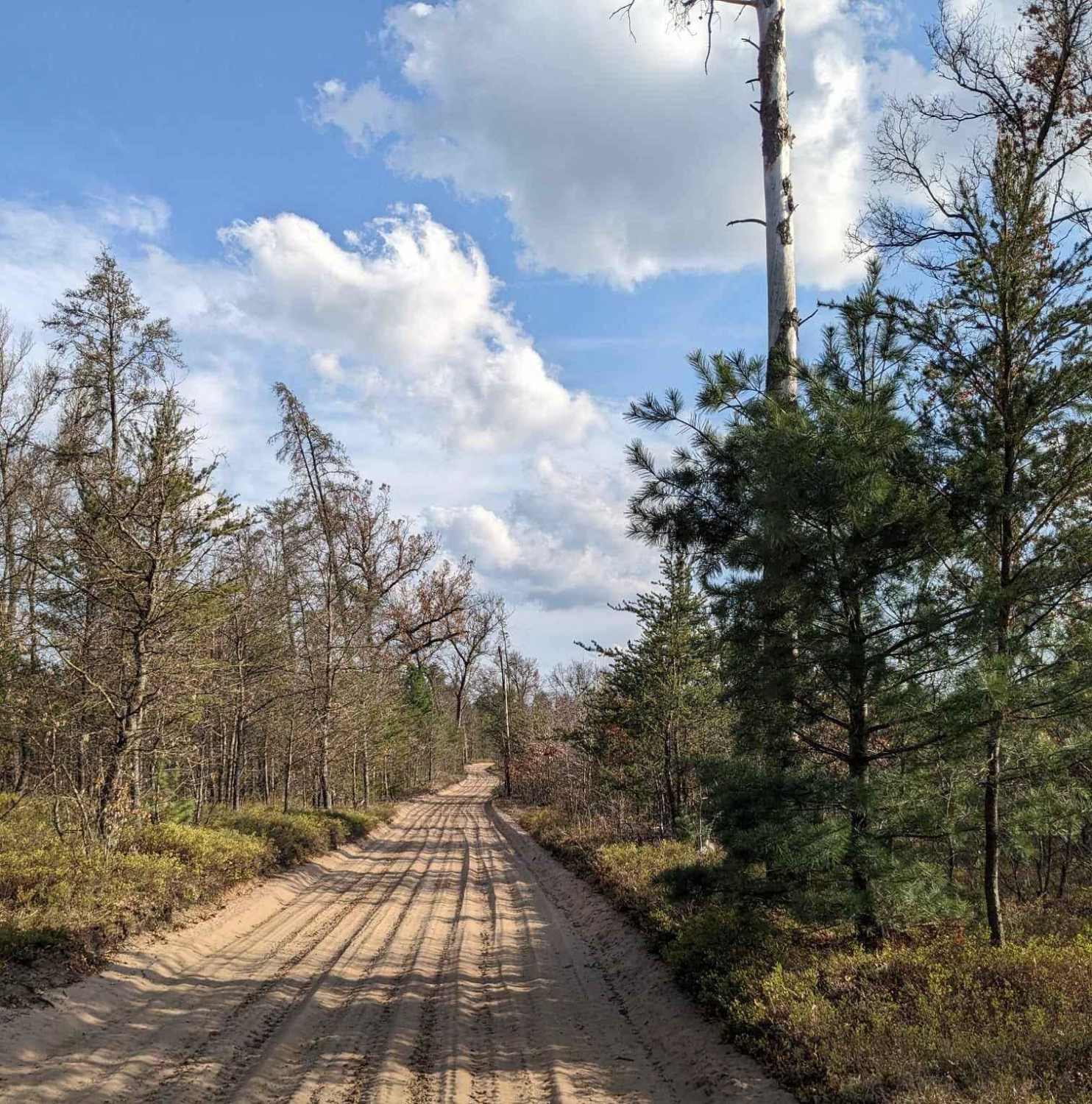
Trail Overview
This is a nice, easy trail that follows the shore of Tomahawk Creek, flooding. Made up of mostly soft Michigan sugar sand. There is a spot where there is water over the road most of the year. The DNR has filled this area with stone, so there is a nice hard bottom to the constant puddle. There is a lot of wildlife in this area, so keep your eyes open and bring a fishing pole.
Photos of Tomahawk


Difficulty
Nice easy trail made up of mostly sand, wide enough in most spots for two vehicles.
Status Reports
Tomahawk can be accessed by the following ride types:
- High-Clearance 4x4
- SUV
- SxS (60")
- ATV (50")
- Dirt Bike
Tomahawk Map
Popular Trails
Horseshoe Motorcycle Trail Part 2
BC Cooke - FS 2349
NW Little Manistee Route

Cadillac Area ORV/OHV Scenic Ride - Part 12
The onX Offroad Difference
onX Offroad combines trail photos, descriptions, difficulty ratings, width restrictions, seasonality, and more in a user-friendly interface. Available on all devices, with offline access and full compatibility with CarPlay and Android Auto. Discover what you’re missing today!