NW Little Manistee Route
Total Miles
8.3
Technical Rating
Best Time
Spring, Summer, Fall, Winter
Trail Type
Full-Width Road
Accessible By
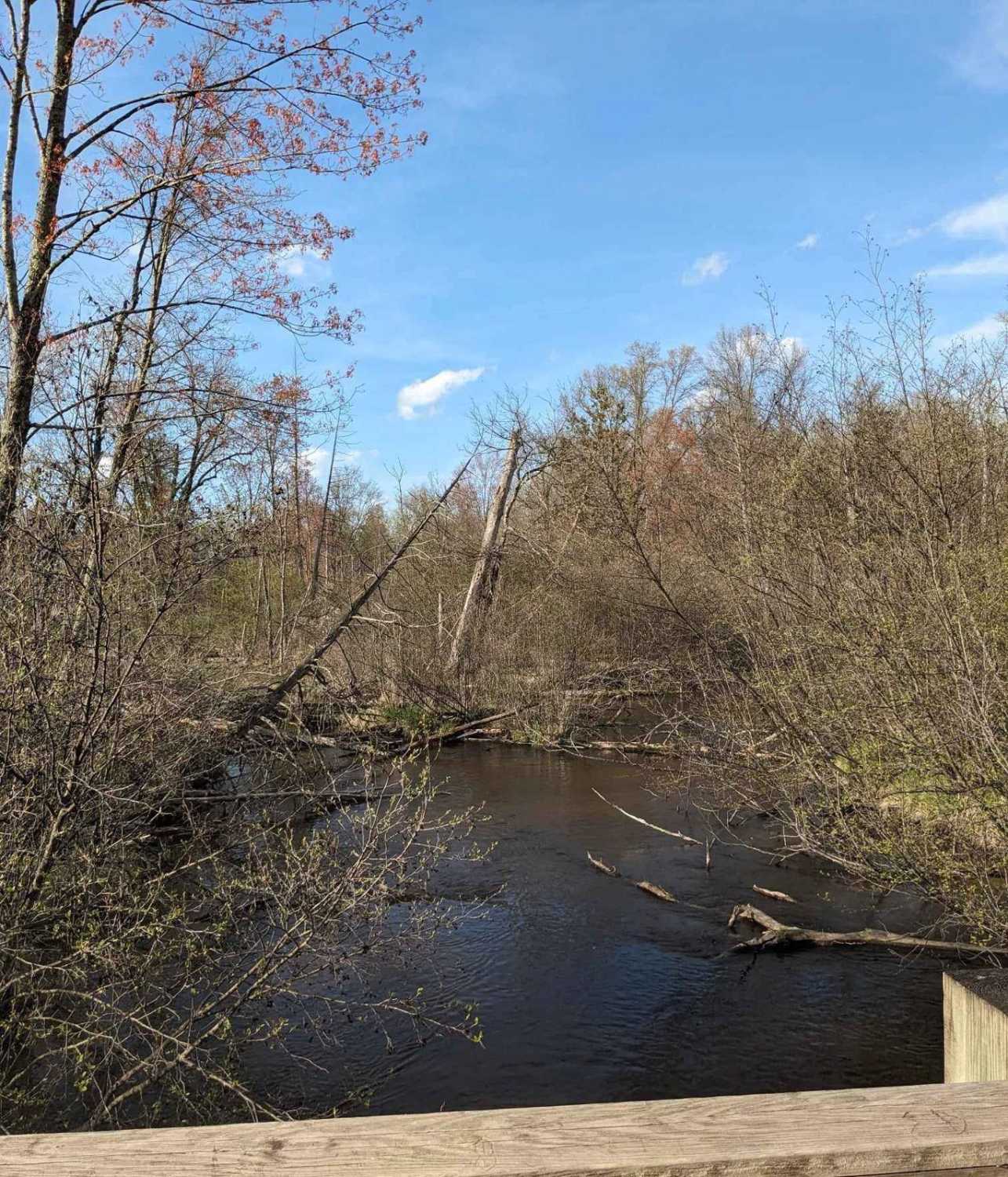
Trail Overview
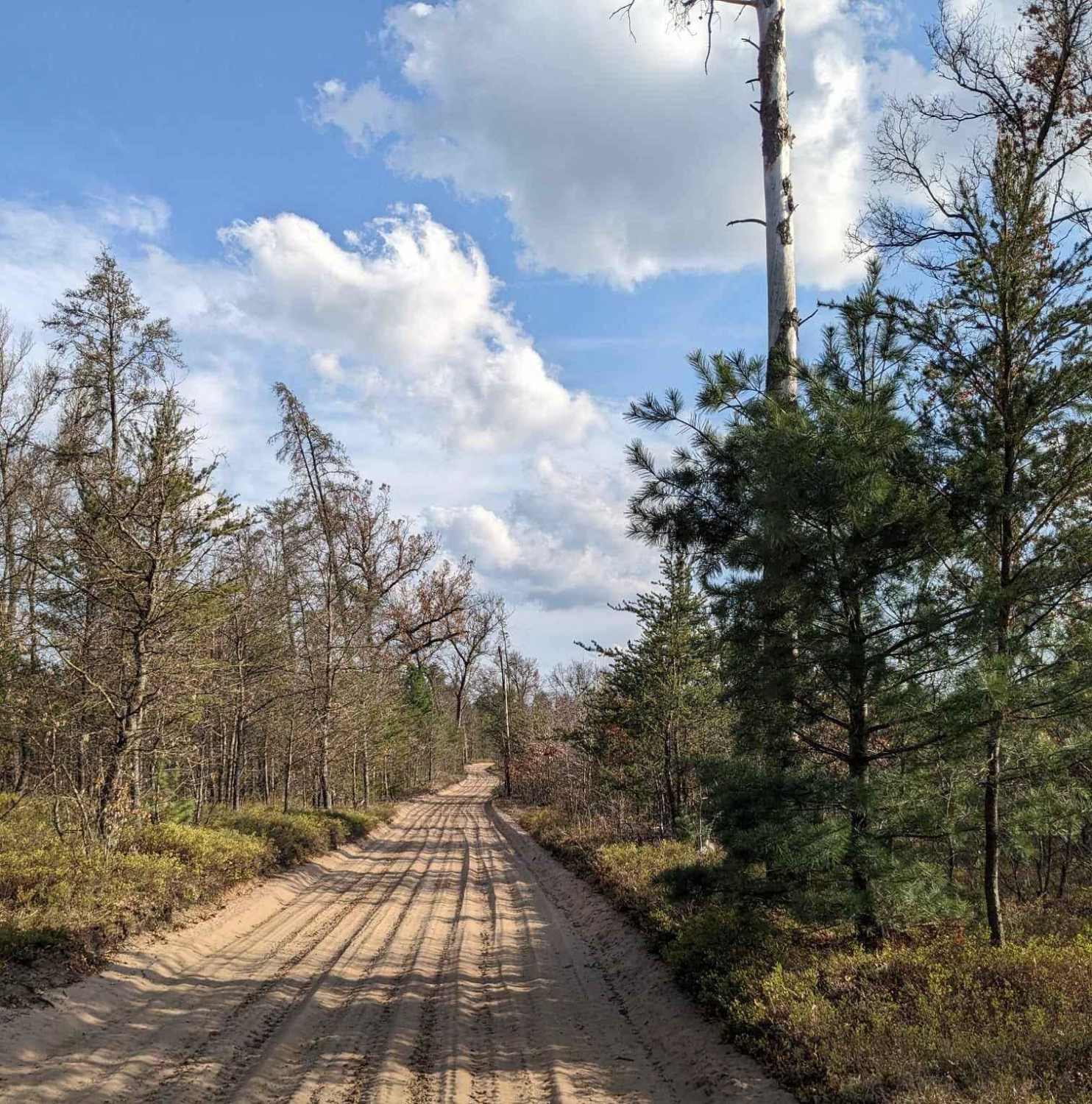
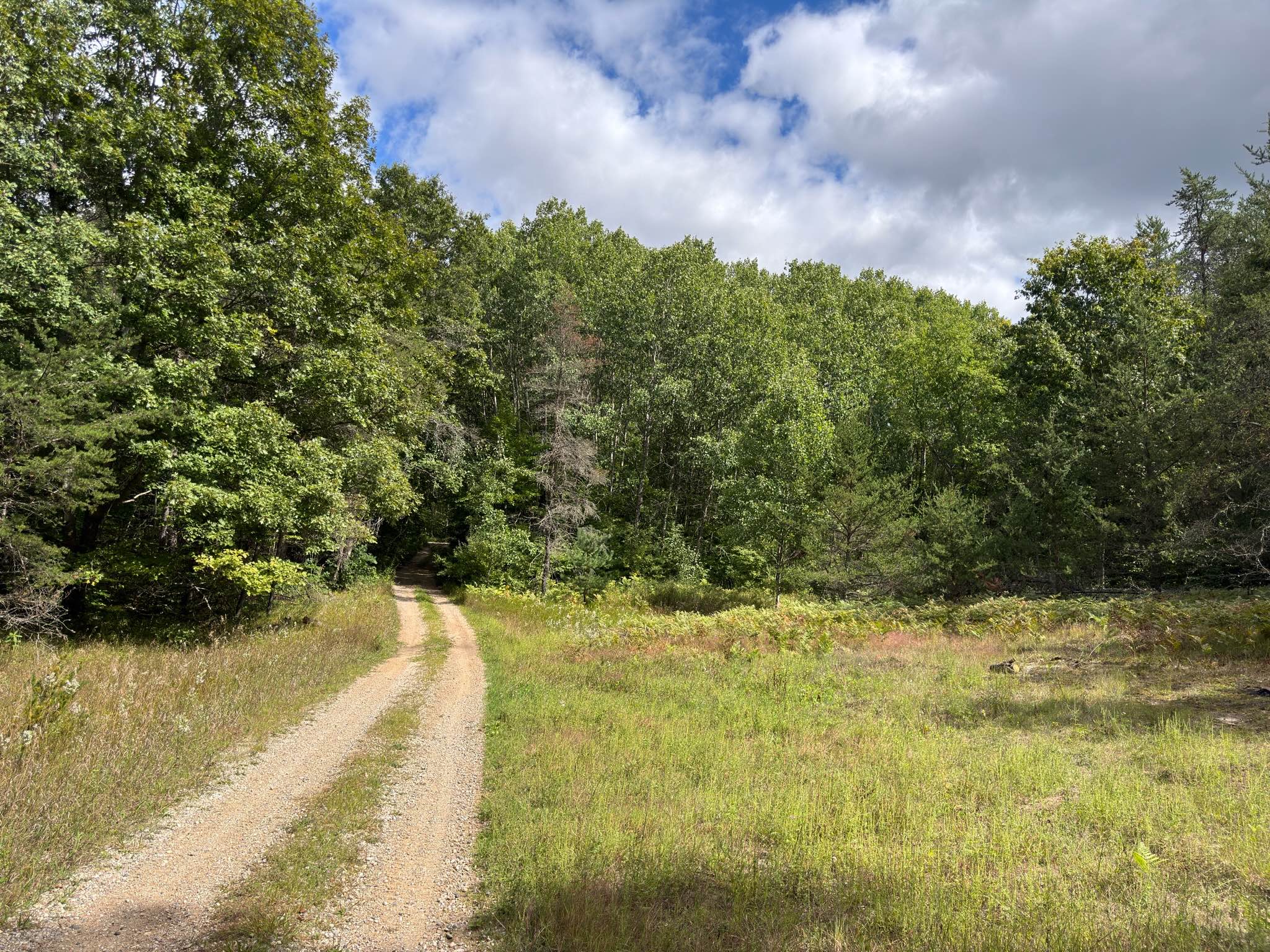
This is a sandy, twisty trail with banked corners. The single-lane trail winds through the woods and has many washboard sections. The trail is groomed, allowing for walls of dirt to limit the width of the trail. There are few places to move over for oncoming traffic. The sand on the trail is very much like beach sand. The twists and turns make this a fun trail, but hard to see oncoming traffic.
Photos of NW Little Manistee Route
Difficulty
This is a narrow, windy trail with mud puddles and hardly any areas to pass. The trail is very sandy.
Status Reports
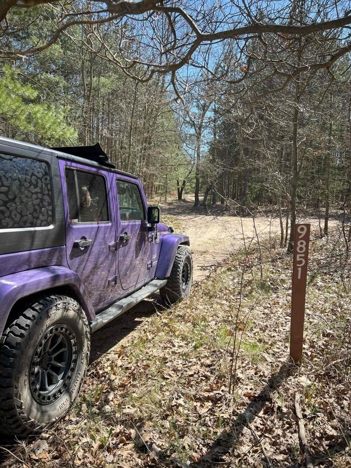
NW Little Manistee Route can be accessed by the following ride types:
- High-Clearance 4x4
- SUV
- SxS (60")
- ATV (50")
NW Little Manistee Route Map
Popular Trails

Forest Service Road 5126
The onX Offroad Difference
onX Offroad combines trail photos, descriptions, difficulty ratings, width restrictions, seasonality, and more in a user-friendly interface. Available on all devices, with offline access and full compatibility with CarPlay and Android Auto. Discover what you’re missing today!