St. Helen ORV Route - West
Total Miles
11.1
Technical Rating
Best Time
Spring, Summer, Fall, Winter
Trail Type
Full-Width Road
Accessible By
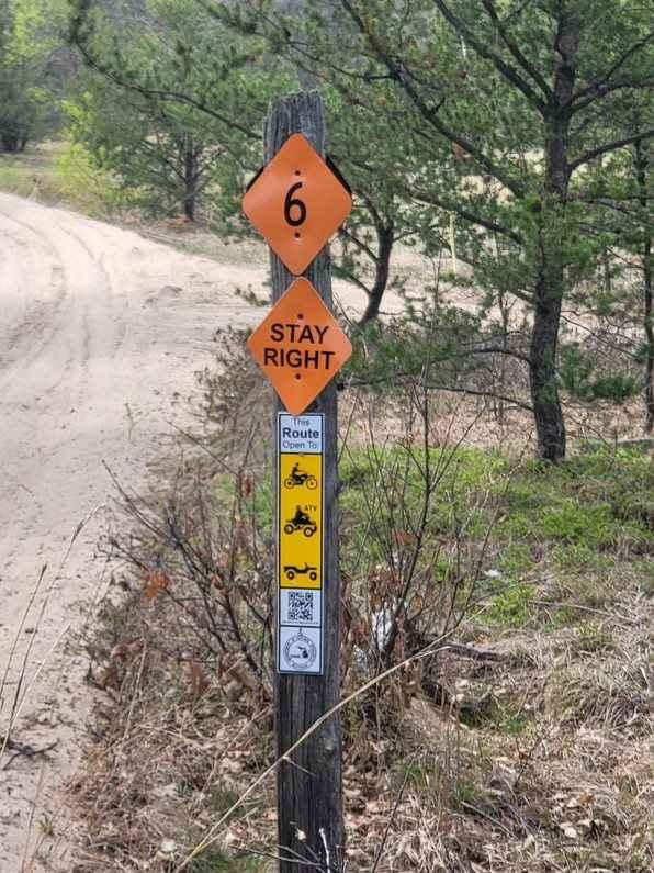
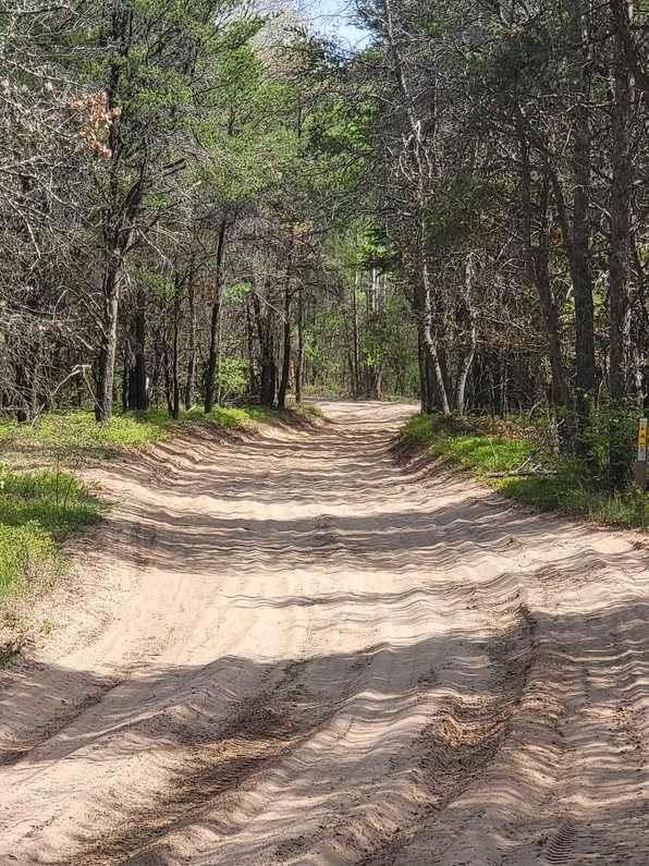
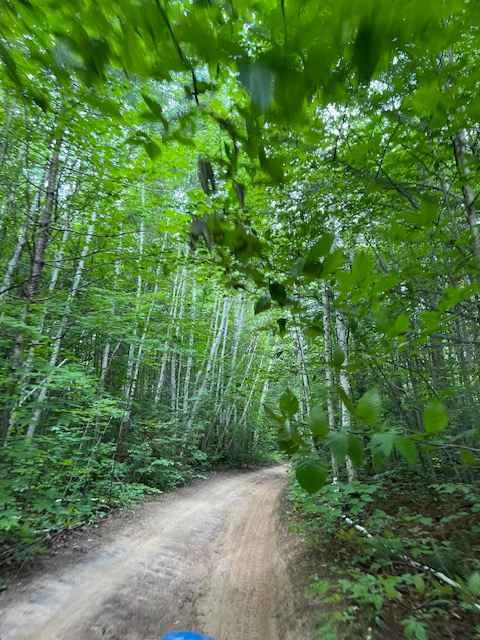
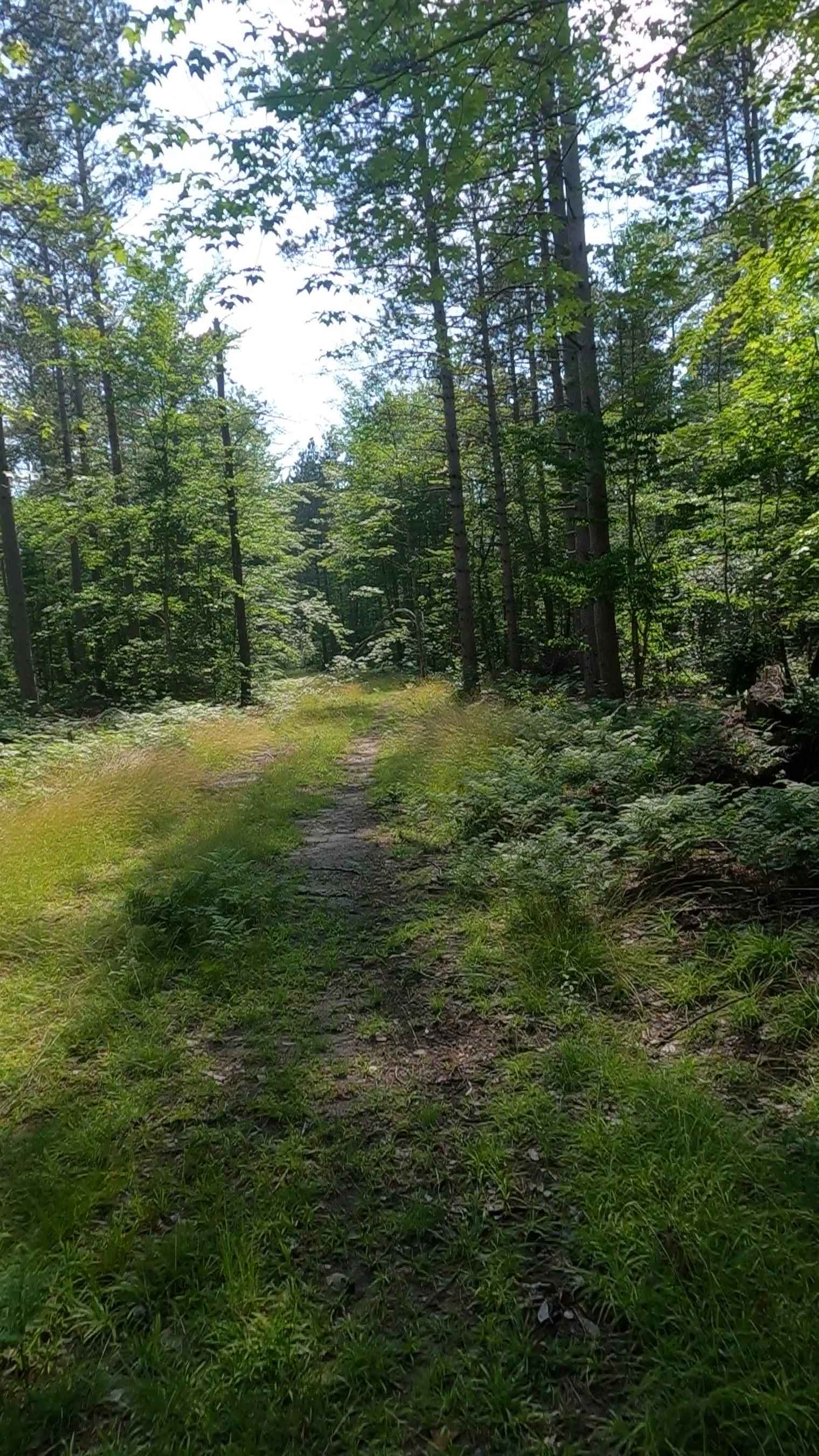
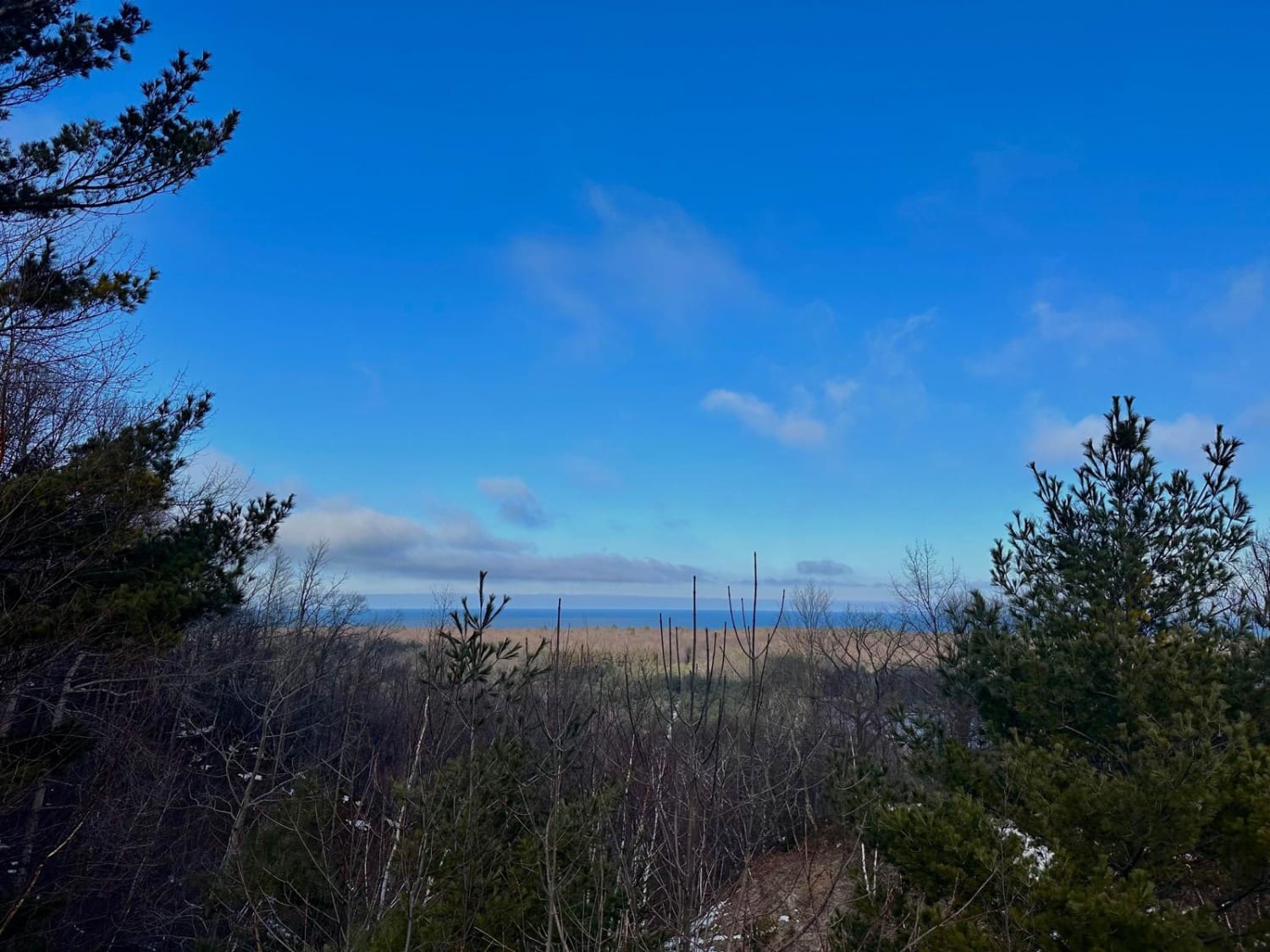
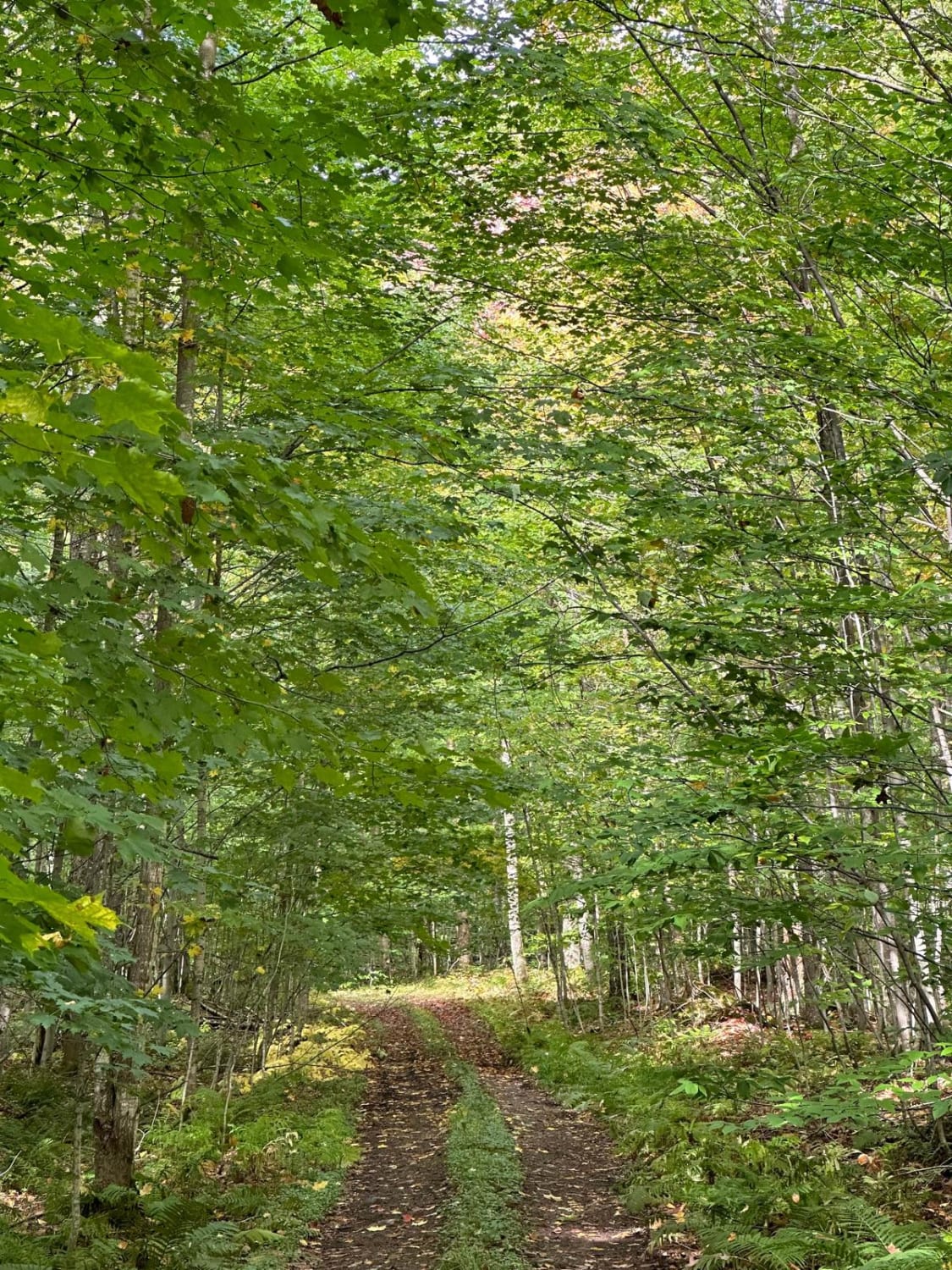
Trail Overview
Michigan DNR ORV Route is open to full-size vehicles, 50 inch, and 24 inch with ORV and trail permits. The route is mostly soft sand. This section of the route is a connector between St. Helen Route and Denton Hills Route. It's mostly very wide and flat. The trail becomes washboard quickly with the amount of traffic it receives. The trail is a groomed snowmobile trail in the winter.
Photos of St. Helen ORV Route - West
Difficulty
The trail is soft sand but mostly flat and wide. It can be rough with the washboard surface but doesn't offer much challenge.
Status Reports
St. Helen ORV Route - West can be accessed by the following ride types:
- High-Clearance 4x4
- SUV
- SxS (60")
- ATV (50")
- Dirt Bike
St. Helen ORV Route - West Map
Popular Trails
Pine Junction (FSR 8025)
South Basch Road
The onX Offroad Difference
onX Offroad combines trail photos, descriptions, difficulty ratings, width restrictions, seasonality, and more in a user-friendly interface. Available on all devices, with offline access and full compatibility with CarPlay and Android Auto. Discover what you’re missing today!