Matt
Aug 27, 2026
Temporarily Closed
Posted Sign
Nick Dimmick
Aug 20, 2026
2015 Toyota 4Runner Limited
Open
Dusty
We drove the section out to High Rock Bay today. I don't understand this trail at all. Most of it in the Keweenaw is just State Route 41. Then this section should probably be rated a 4 or 5, as it is much more challenging than the High Rock Bay Trail leading to it, which is rated a 5. There are 30-40 holes that will get quite deep in the wet weather. They were no problem today, but it's been really dry. Some of them could easily be 18" deep in the spring. I think this trail needs to be removed, and individual sections of it should be submitted so that people have an actual idea of what a particular section is like. Also, there are sections farther south that are designated for four-wheelers and side-by-sides, excluding full-sized rigs. Then the smaller rides can't use most of it in the Keweenaw, because it's a state highway.
Justine Faylor
Aug 13, 2026
Permanently Closed
Heavily Barricaded with Natural Material
Graham R
Aug 08, 2026
2008 Jeep Wrangler
Open
DustyMuddy/WetWashboard
We skipped some of the southern part and started near highway 70 just south of Alvin. The whole way was really nice, not to much washboard and saw zero other people until we got around the mass city area where you supposed to get in the bill nichols trail. Talk about washboard! Our jeep felt like it was shaking it self apart. We skipped a some of it and just took 26 for a little bit. Just past lake medora the trail takes a right off of the highway. From that point there is numerous signs saying atv and sxs only. We didnt want to get in trouble so we back tracked to the highway and kept going to copper Harbour. From there we went south right before lake fanny hooe on orv route b which on the map appears to meet back up with the plane crash trail. When we got to that intersection more signs saying no full size vehicles atv and side by sides only. Backed tracked once more and took the road along the north end of lake fanny hooe and took the high rock bay trail the rest of the way.
Zachary Bushmaker
Jul 11, 2026
2014 Ford F150 Raptor
Open
Dusty
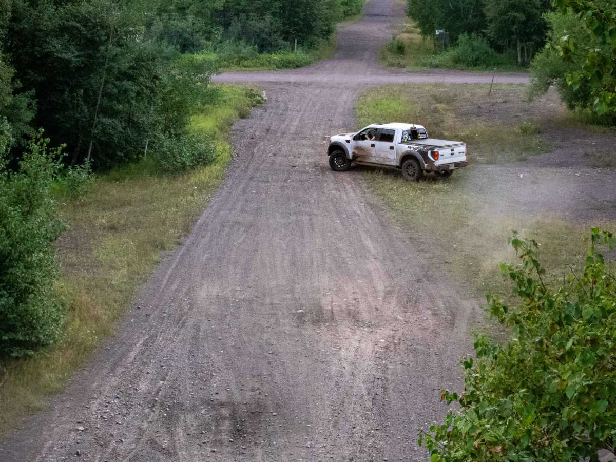
Started in Crandon, Wisconsin. Drove almost to the border and found Kentuck Lake Campground. Stayed there for the night. The next day we continued and drove all the way to High Rock Bay. There were a few spots along the way off the side of the trail that were open areas with rocky or sandy hills. We got off the trail to go to Copper Harbor and took the High Rock Bay trail instead the rest of this trail. We stayed the night at High Rock Bay, and went home the next day.
Sean price
Jul 07, 2026
Open
DustyWashboardRough/Deteriorated
Pretty good ride , little dusty. Lot of washboard some rocky areas. Nice and enjoyable. Stopped for gas at twin lakes
DetroitBigFoot
Oct 22, 2025
2016 Ford F-Series
Open
Muddy/WetNormalDustyWashboard
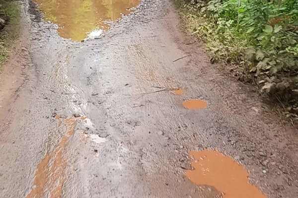
Ran this trail recently and did not need 4x4 at any point. Conditions were mostly straightforward, with several water holes along the way, but none were deeper than about 8 inches during my run. The road surface is rocky in sections, so I’d recommend airing down for comfort and to keep things smooth.
Overall, this is a great trail with a fun mix of terrain and scenery. Solid beginner-friendly route and a good time if you’re looking for an easy day out with some light adventure
Eric Gramer
Oct 17, 2025
Open
Normal
Did the entirety of the trail over 2 days with my buddies in my ‘91 Jeep MJ. Great time, 97% of the trail was super easy just gravel roads- The last mile to high rock point was probably a 5/10. One water hole was over 20” deep, had some big boulders as well.
Chris Hutchins
Sep 20, 2025
Permanently Closed
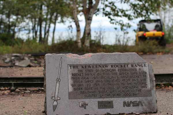
the portion of this trail that runs from highway 41 to High Rock Bay is only for side by sides and 4 wheelers, the correct way to get to High Rock Bay is to continue on highway 41 into Copper Harbor, then go east following highway 41 until it ends, follow the High Rock Bay trail then there's a left turn onto the Rocket Range trail, at some point there's a split to go left, if you keep to the right you will head to High Rock Bay, left takes you to the rocket pad.
Jeremy Trail guide
Sep 20, 2025
Permanently Closed
This trail is not properly marked. The trail on onx actually US highway 41 and it closed to ORV's
Matt Dartford
Sep 20, 2025
2023 Can-Am Commander 1000R
Obstructed
A good portion of this trail is on state Route 41 which is paved and doesn’t allow SXS access. I feel this trail is improperly marked.
Jesse Mills
Sep 04, 2025
2011 Ford F-Series
Open
NormalDustyMuddy/Wet
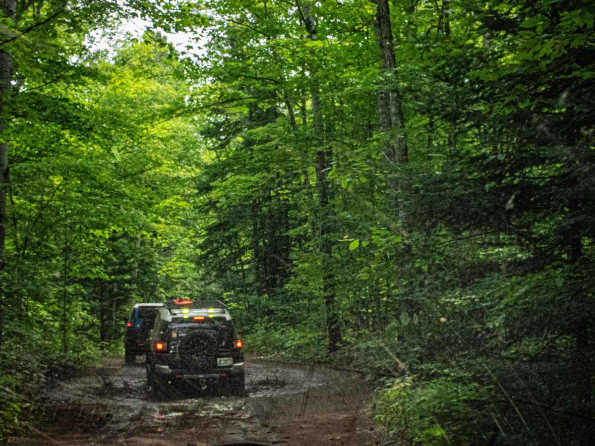
Started at Crandon, WI and made our way north. Trail consists of a combination of gravel, two track and paved roads. Basswood road was still closed for bridge work as of 8/31/25. Trail conditions change drastically once you turn off US41 onto Burma road especially during or after rain. Most water holes encountered were on High Rock Bay road. Never used 4WD at any point on the trail.
Dakota Boland
Aug 20, 2025
2001 Jeep Cherokee
Open
Normal
(road was closed for road work by golden lake lookout see picture for how to get around this. as of 8/20/25) pretty easy trail mostly just gravel roads till you get to outside of copper harbor. after copper harbor going to high rock bay its little wash board and has big puddles to drive through would get worse with rain but went through them in 2wd. high rock bay is surprisingly busy even on a Wednesday night so have a back up spot picked out to camp just in case. good trail and copper harbor and eagle harbor are very beautiful
Chuck Wilson
Jul 14, 2025
Open
You may want to air down a bit for this. most the gravel roads are fairly rough. the last couple miles into high rock bay had quite a few water crossings, which im guessing will be worse when im back up in the end of August. I'll give another report at that time
Kyle James
May 08, 2025
Open
Honestly, skip the first 30-40% of this. Just crap dirt roads lol

 Offroad