Section 32 Road North - FS T45N-R25W
Total Miles
1.6
Technical Rating
Best Time
Spring, Summer, Fall
Trail Type
Full-Width Road
Accessible By
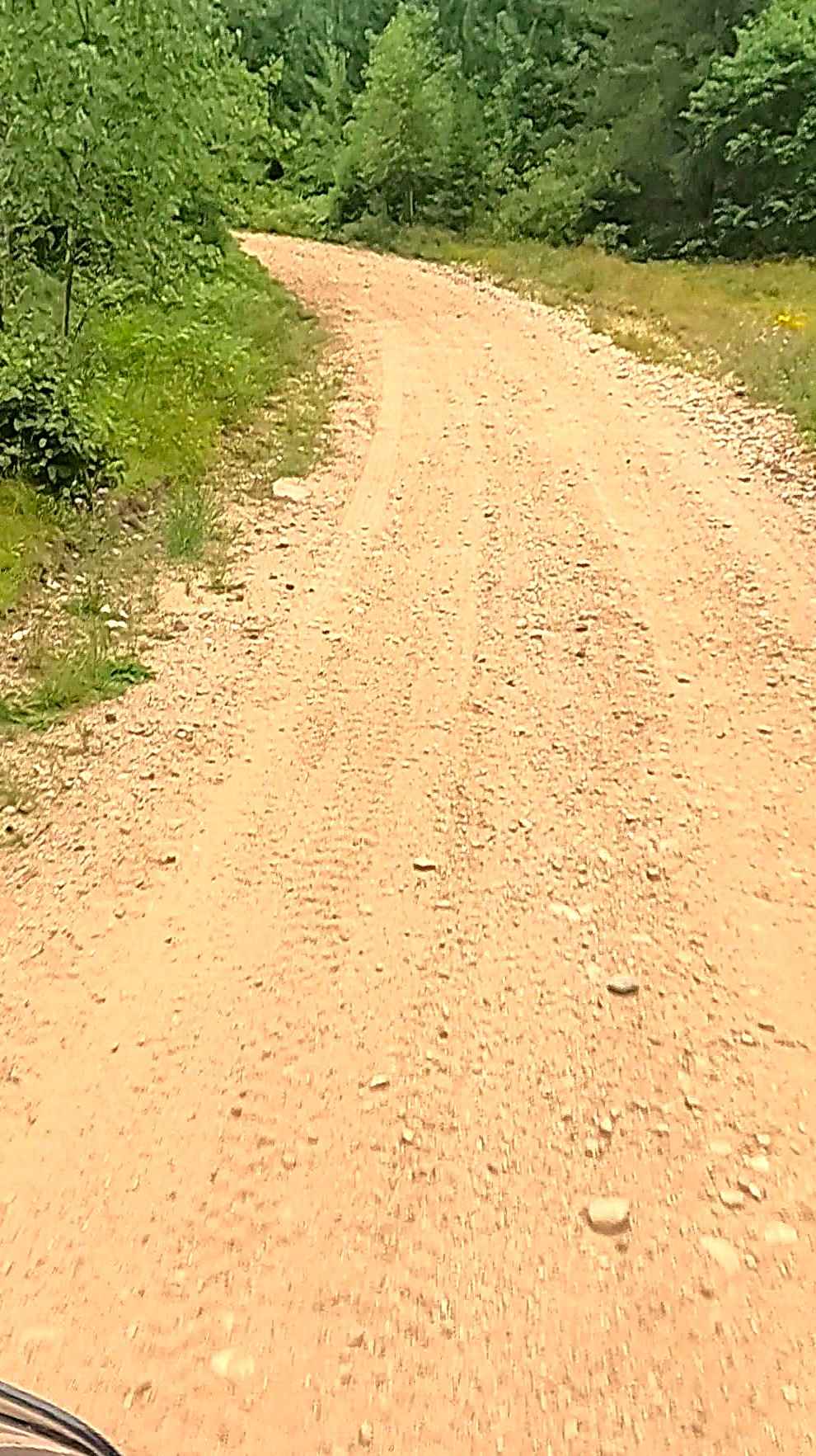
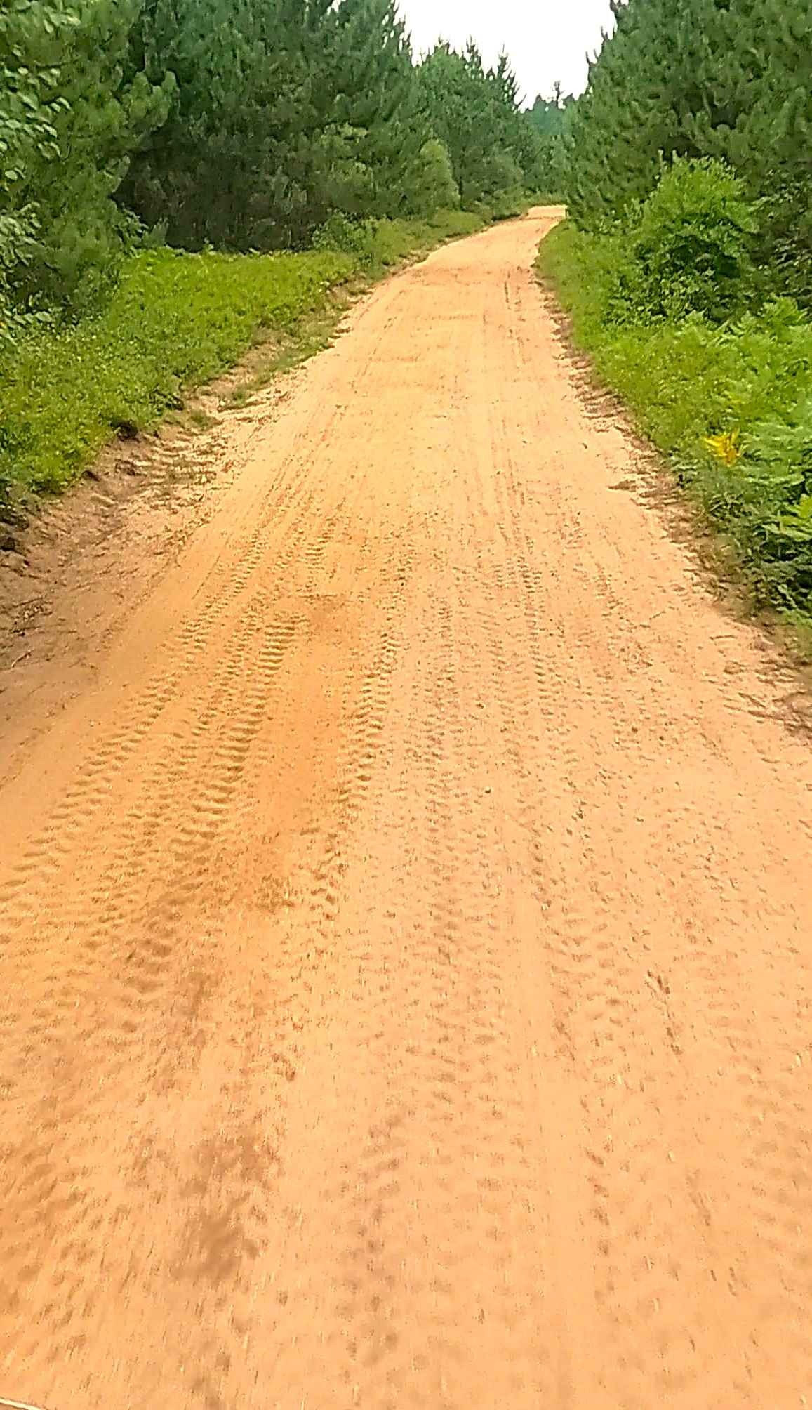
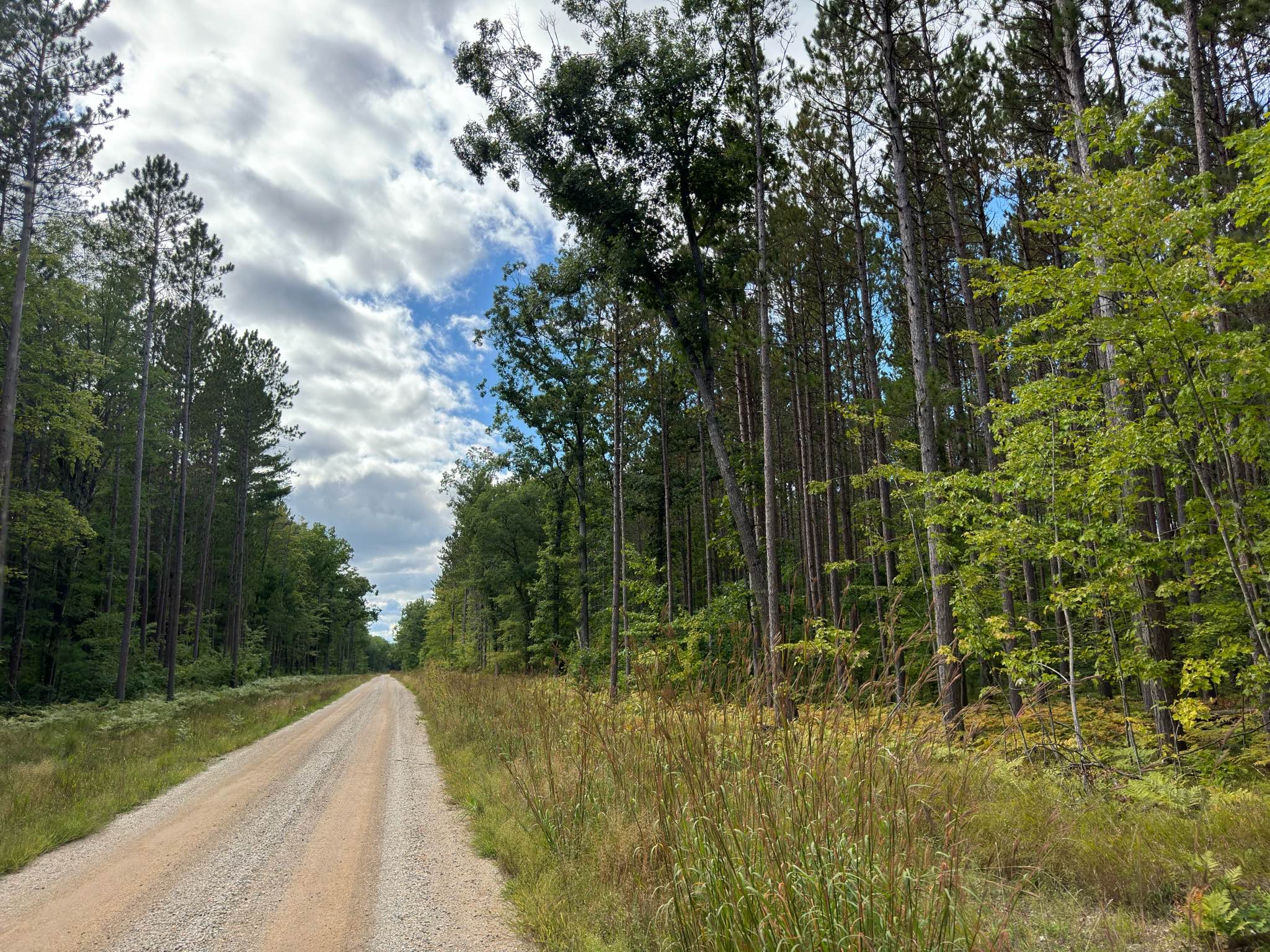
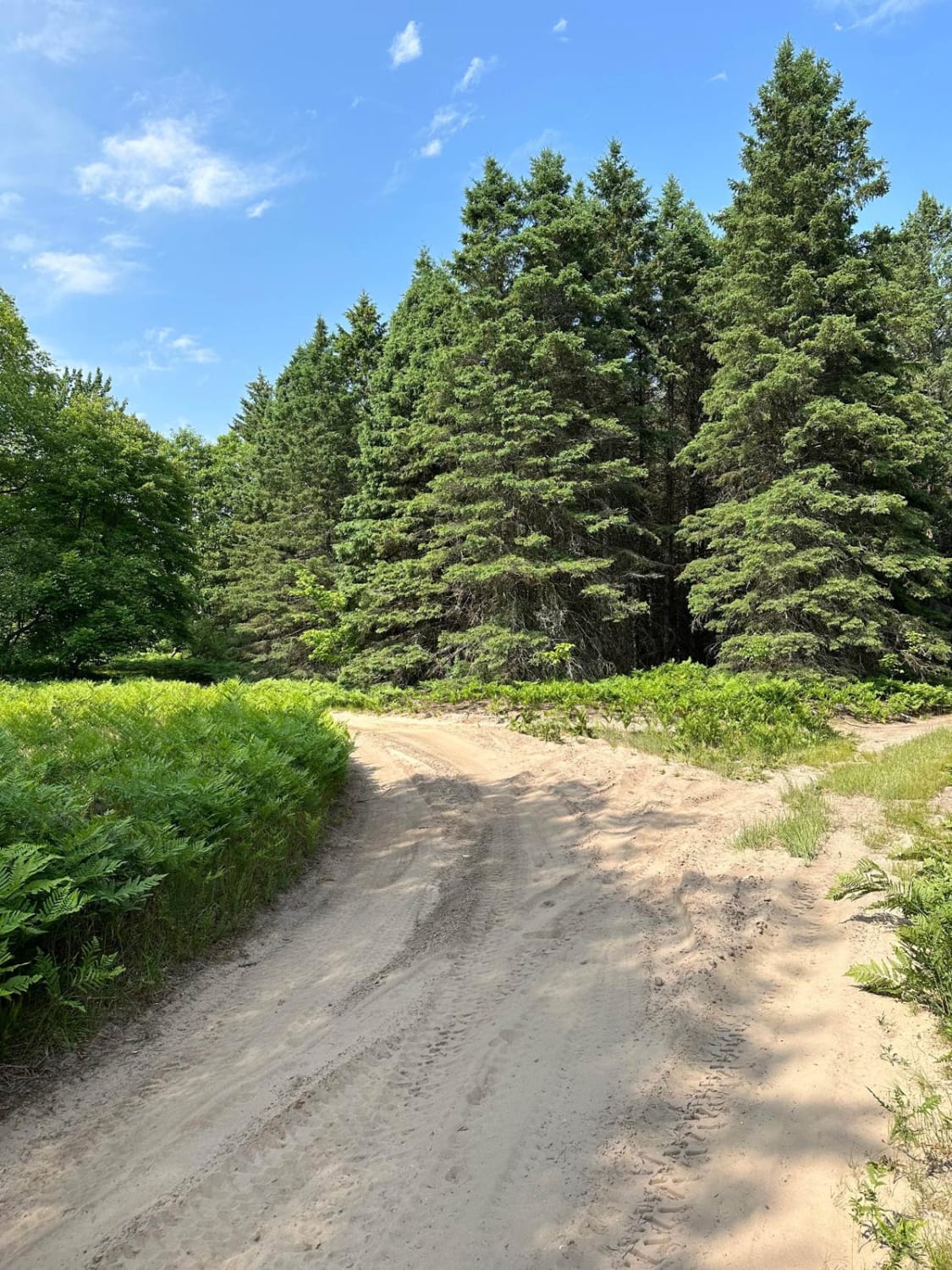
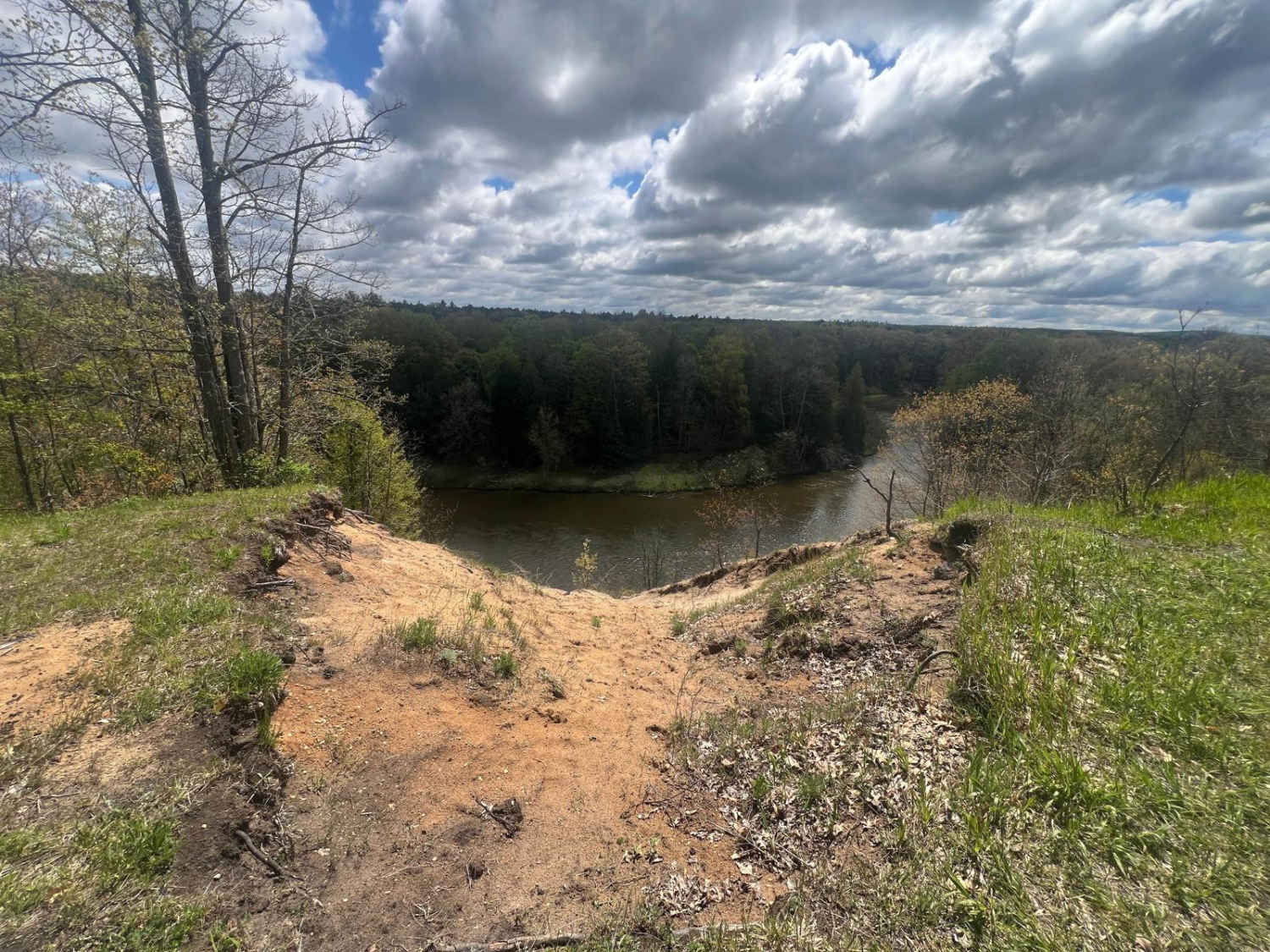
Trail Overview
Federal Forest Service Road (FS) T45N-R25W, also known as Section 32 Road North, is a locally owned/ locally maintained, Level-2/ Level-3 forest road with a surface composition of dirt, sand, gravel, and native material. This route is currently open and in fair condition; it is not a DNR road (ORV use is subject to local government regulations) and connects Bryan Creek Road to open Forestry routes that offer a labyrinth of there-and-back spurs during the ORV riding season. Mixed traffic of logging vehicles and ORVs can be expected in these routes. Be cautious and courteous. Created on August 15, 2025
Photos of Section 32 Road North - FS T45N-R25W
Difficulty
Dirt, gravel, sandy road, typically unmaintained after rain or snow that may give rise to shallow water crossings and obstacles under 12 inches on the trail, including small ledges. This road is typically one to two vehicles in width and narrows down to a "Two Track" road.
History
Section 32, specifically T45N-R25W in Marquette County near Gwinn, Michigan, is historically part of heavily forested, state-managed land within the Gwinn Forest Management Unit. The area has been used historically for logging, with remnants of past camps, and later for recreational hunting, trapping, and snowmobiling. It is primarily characterized by mixed swamp conifers, aspen, and jack pine, with some private in-holdings. Section 32 was originally surveyed in 1844 by William A. Burt, with corner monuments historically established as wood posts. Land Management: Most of this section is state-owned land, forming part of the Bill Rollo Grouse Enhanced Management Site (GEMS), focusing on wildlife habitat management and public recreation. The area features varied terrain ranging from mucky bogs to dry, sandy uplands, bordered by key water features like the West Branch of the Escanaba River. It is used extensively for hunting, fishing, and ATV/snowmobile riding, with Perrin Bros Road acting as a major access point. The DNR continues to manage this area for forest products, with timber sales and habitat improvements.
Status Reports
Section 32 Road North - FS T45N-R25W can be accessed by the following ride types:
- High-Clearance 4x4
- SUV
- SxS (60")
- ATV (50")
- Dirt Bike
Section 32 Road North - FS T45N-R25W Map
Popular Trails
Forest Service Road 9067
Grass Lake Dam Part 2
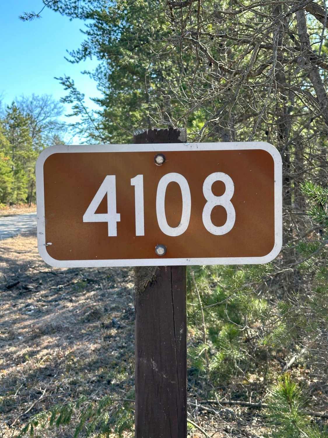
Largo Road - FS 4108
The onX Offroad Difference
onX Offroad combines trail photos, descriptions, difficulty ratings, width restrictions, seasonality, and more in a user-friendly interface. Available on all devices, with offline access and full compatibility with CarPlay and Android Auto. Discover what you’re missing today!