S 23-1/2 Trail
Total Miles
2.0
Technical Rating
Best Time
Spring, Summer, Fall, Winter
Trail Type
Full-Width Road
Accessible By
Trail Overview
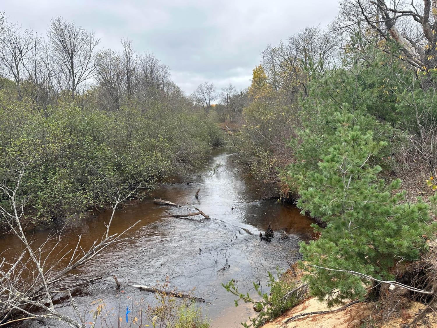
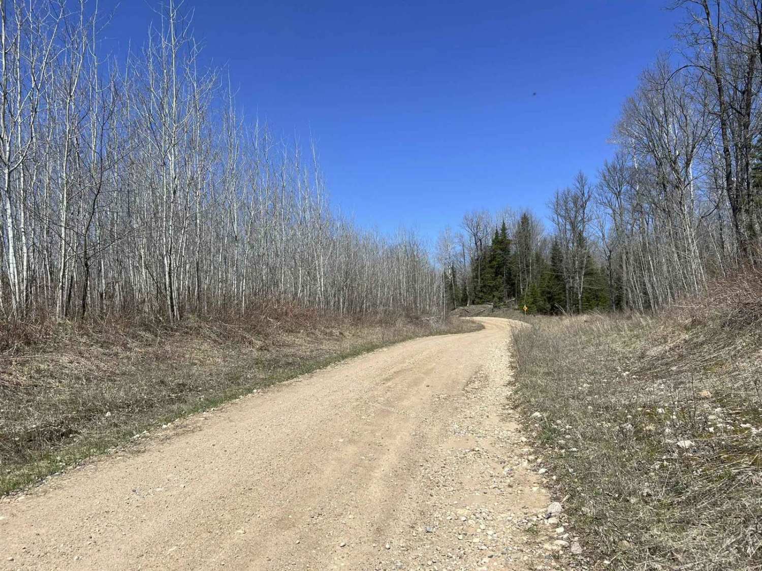
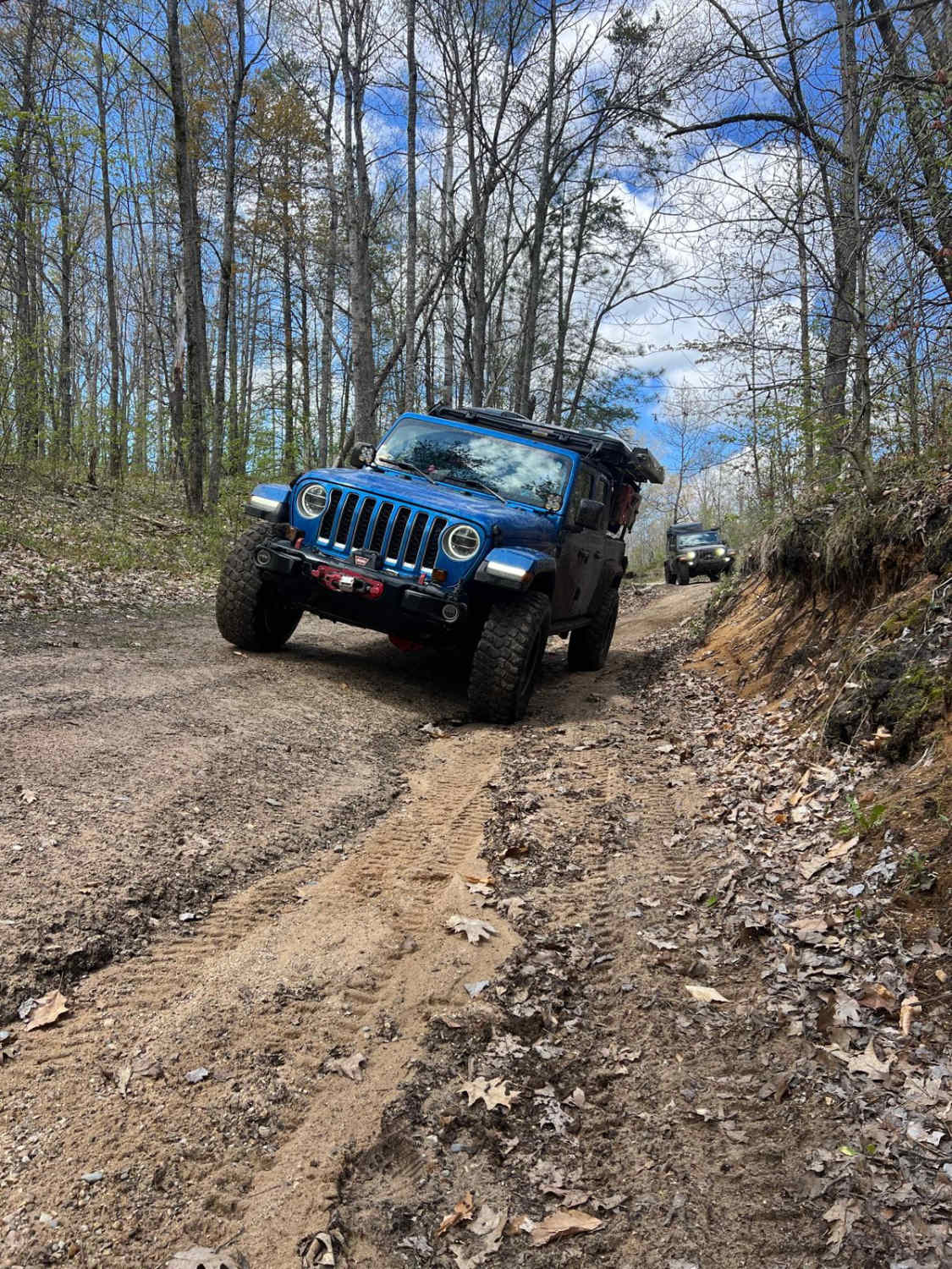
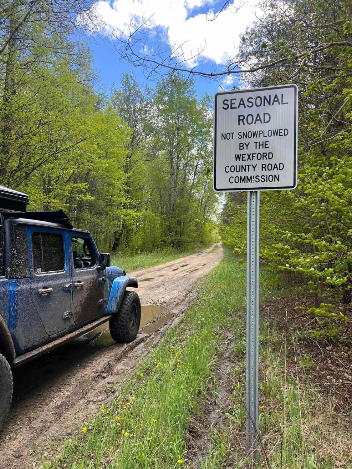
S 23-1/2 Trail is similar to the High Rollway River Loop Trail since it has a lot to offer. This trail is typically easy during dry conditions even with the washouts. However, after recent weather and/or rainfall, the mud/water holes can get deep and rutted, causing trouble for low-clearance vehicles. Most high-clearance 4x4s should have no issue getting through these even after recent rain. This track weaves you down in elevation to the Manistee River. From here, the fun is endless. Canoeing, kayaking, swimming, fishing, dispersed camping, or just enjoying the wonderful views this trail has to offer are all options at the end of this trail. If you plan on camping off this trail, please tread lightly and seek more information at the local DNR Office/Ranger Station before camping here. All in all, this is an awesome trail that is hard to beat! You won't be disappointed.
Photos of S 23-1/2 Trail
Difficulty
The reason for this Technical Rating and Difficulty of 3 is because of the uneven, rutted dirt trail with sandy washes and water crossings less than a foot deep. There are a few mud holes and trail obstacles up to 12 inches, and the trail is typically one vehicle wide with places to pass. The washouts still persist even during dry conditions.
Status Reports
S 23-1/2 Trail can be accessed by the following ride types:
- High-Clearance 4x4
- SUV
S 23-1/2 Trail Map
Popular Trails

Driggs River Road

Black Creek Trail/ FR N3015

Hill Splitter
The onX Offroad Difference
onX Offroad combines trail photos, descriptions, difficulty ratings, width restrictions, seasonality, and more in a user-friendly interface. Available on all devices, with offline access and full compatibility with CarPlay and Android Auto. Discover what you’re missing today!


