Roscommon Route
Total Miles
9.1
Technical Rating
Best Time
Spring, Summer, Fall
Trail Type
Full-Width Road
Accessible By
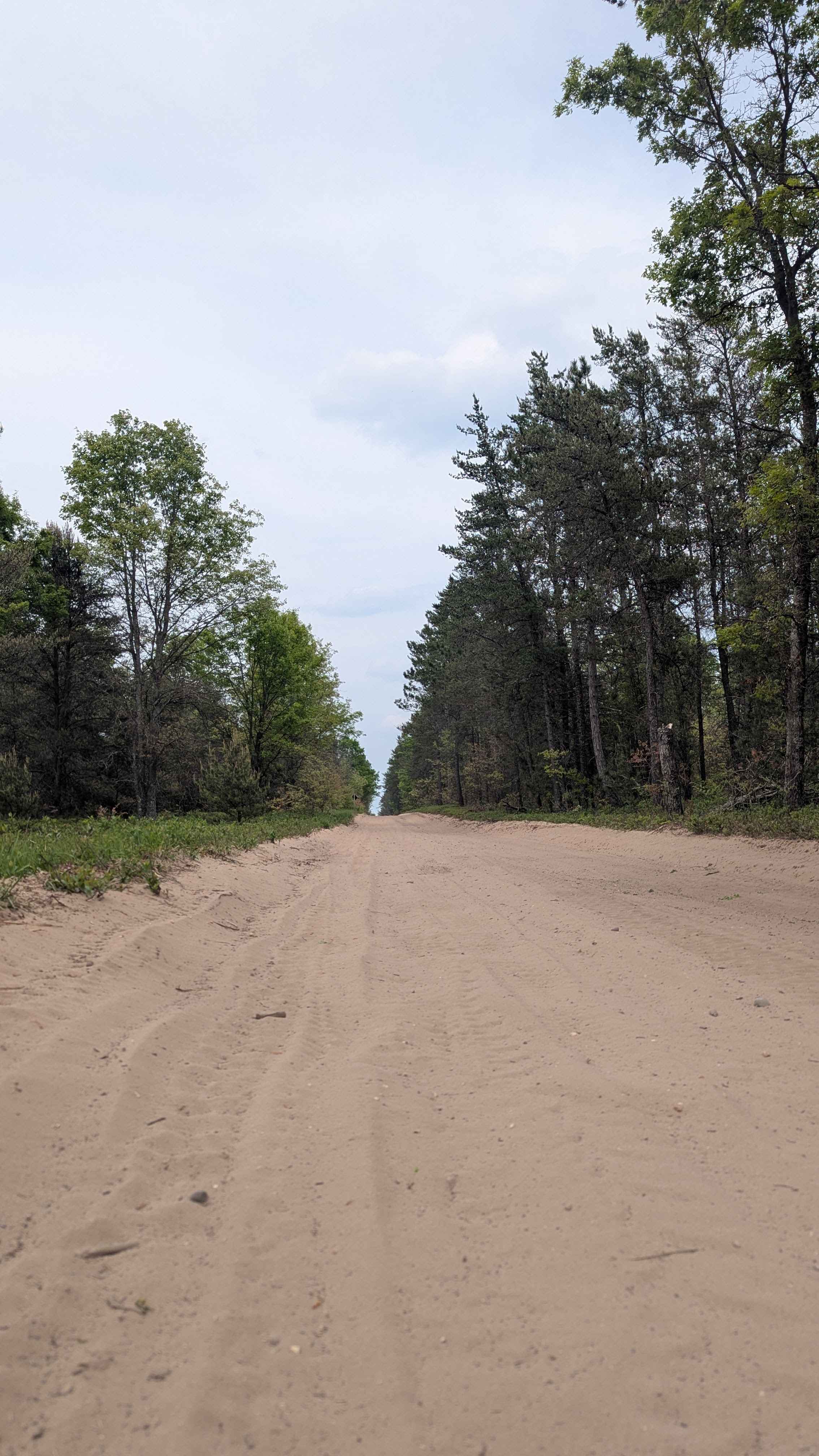
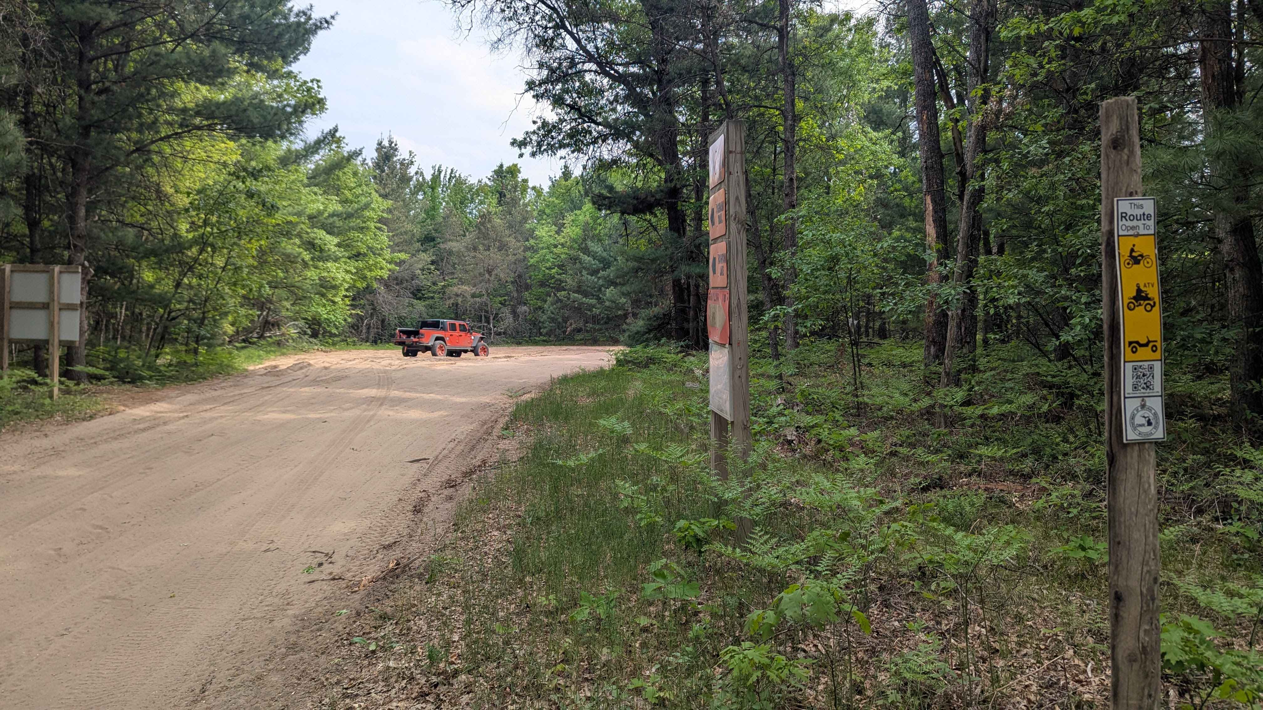
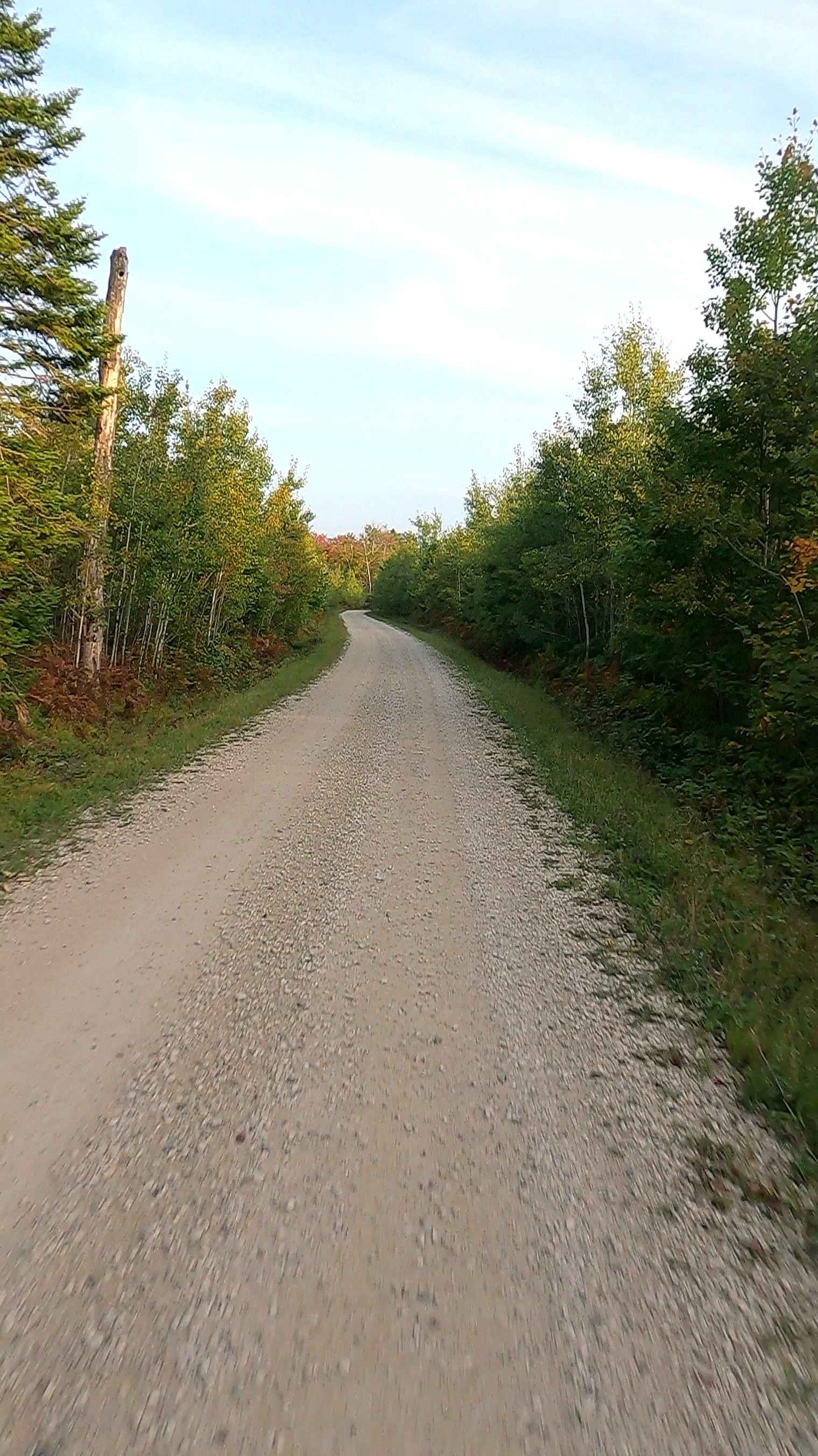
Trail Overview
This trail runs from the edge of the town, Roscommon, where you can find many small shops and fuel. This trail is also part of the snowmobile trail system and is closed to other traffic during designated months. Be sure to check the DNR website for those specific dates. The terrain is soft, loose sand the entire way. We highly suggest the use of 4WD to limit trail erosion. The sandy track will likely be washboarded for a good portion of the route. You will find some minor elevation changes as you travel. Trail width ranges from one to two vehicles wide. As you make your way through the many winding turns, use caution for oncoming traffic. The trail does cross train tracks near Old M76. Be sure to follow traffic signs.
Photos of Roscommon Route
Difficulty
This trail features primarily sandy terrain that remains easy to navigate under most conditions.
Status Reports
Roscommon Route can be accessed by the following ride types:
- High-Clearance 4x4
- SUV
- SxS (60")
- ATV (50")
- Dirt Bike
Roscommon Route Map
Popular Trails

Flexy Ditch (NFS 5187)
West Bow - FS 3129

Horseshoe Harbor Road
The onX Offroad Difference
onX Offroad combines trail photos, descriptions, difficulty ratings, width restrictions, seasonality, and more in a user-friendly interface. Available on all devices, with offline access and full compatibility with CarPlay and Android Auto. Discover what you’re missing today!