Roberts Trail
Total Miles
2.0
Technical Rating
Best Time
Spring, Summer, Fall, Winter
Trail Type
Full-Width Road
Accessible By
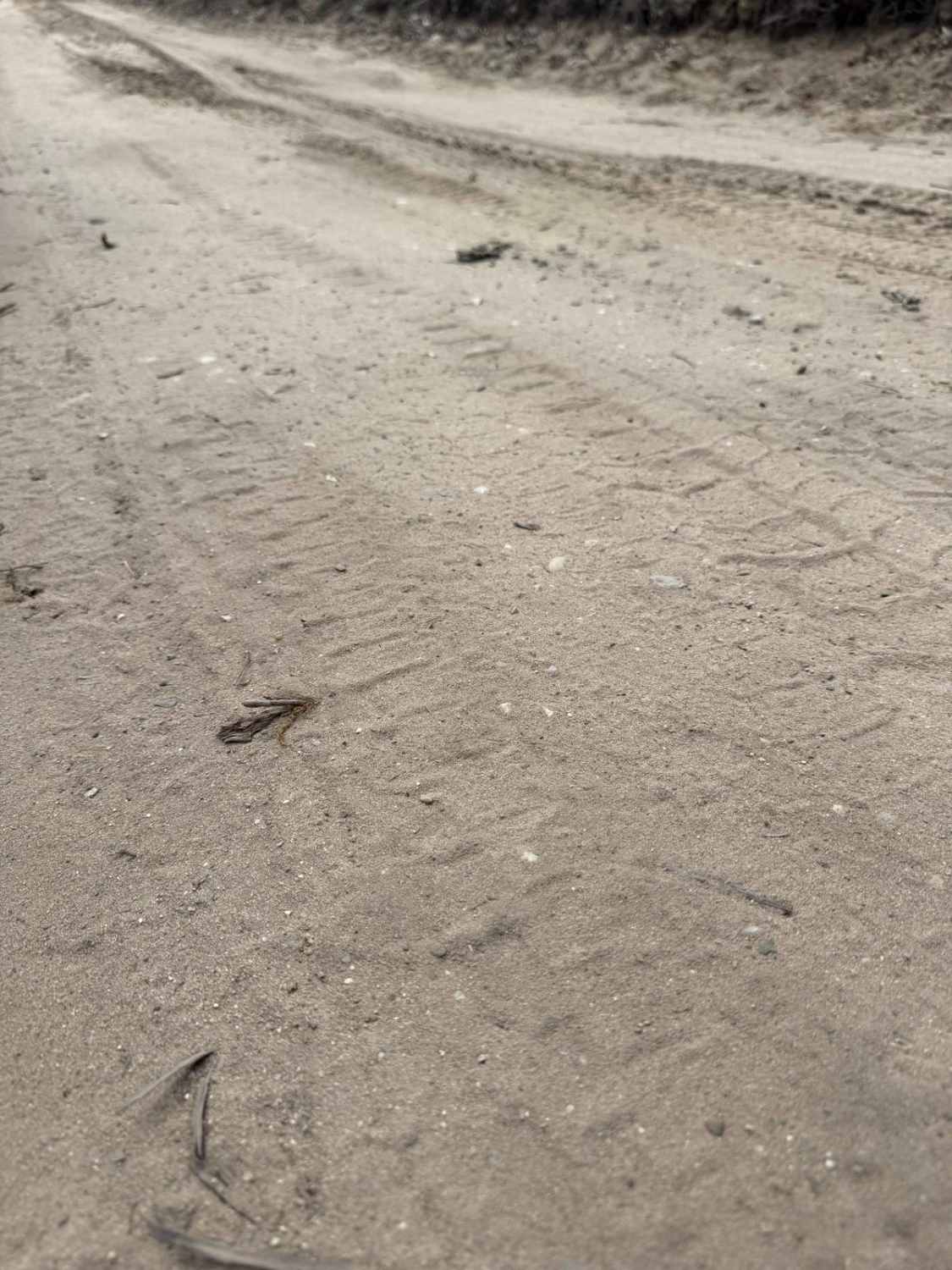
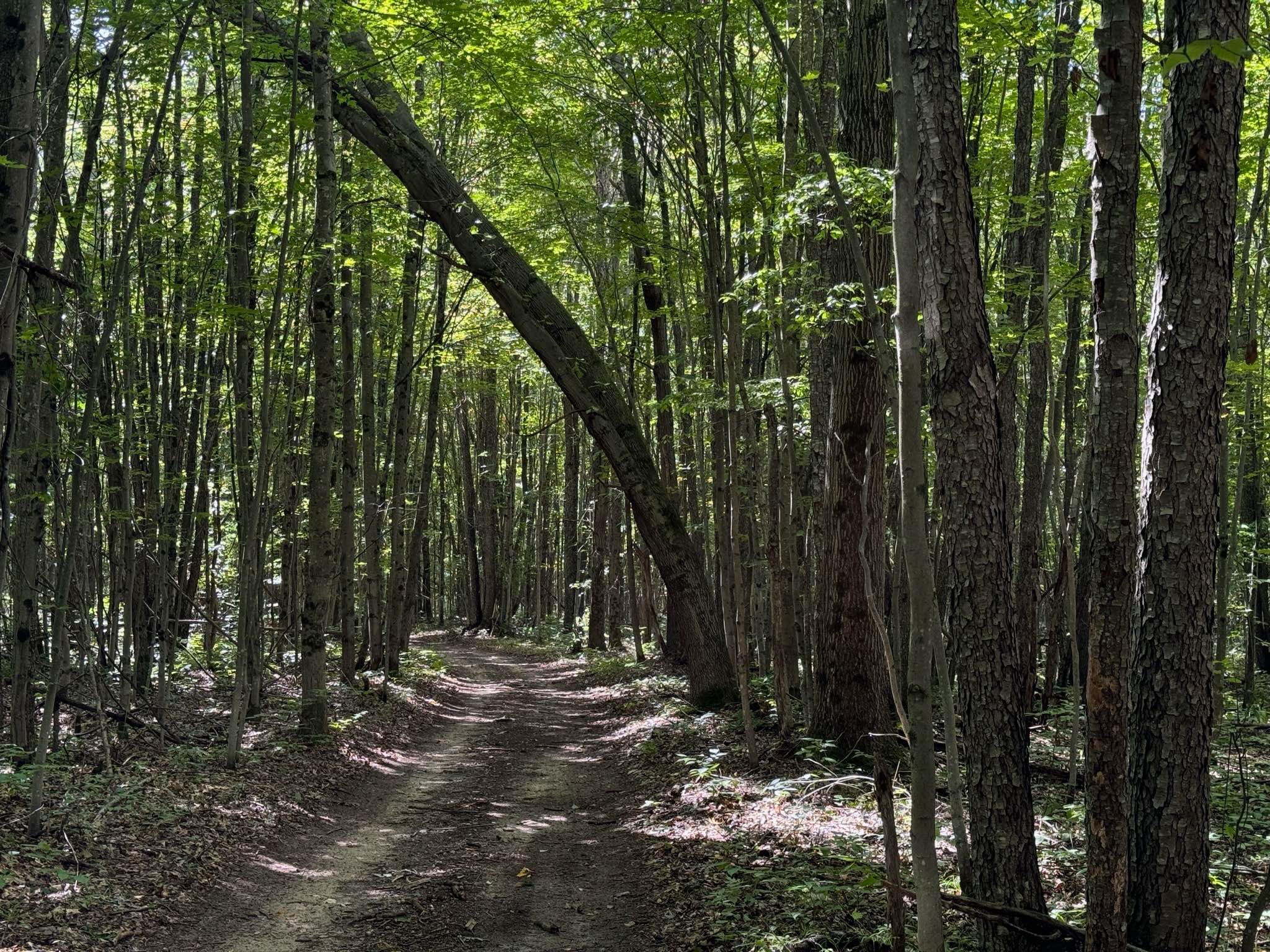
Trail Overview
License Plate Required! Roberts Trail is one of the most unique, diverse, and downright fun trails in Michigan. Located just east of US HWY-131, this route is very accessible with a lot to offer. Starting this "out and back" track begins at the border of Grand Traverse and Wexford Counties. It begins down a bumpy dirt section in a dense portion of the forest. Keep your eyes peeled for wildlife! You never know what you may encounter! This track does run alongside private property. Please be respectful of the local property owners and stay on the trail. As you continue, the trail opens up with a large, clear-cut portion of the forest. Shortly after, you'll enter back in the woods with towering pine trees that are a beautiful sight to see. The surface of the trail mostly consists of a combination of sand, dirt, and grass, as it weaves through the Cadillac Forest Management Unit. There's a lot of lush plant life along this trail to be seen. Eventually, you'll encounter a swampy pond. There's a gravel "dam" to traverse to cross the pond back into the forest. It's just a narrow gravel road. Not a big deal. Once you pass the pond, there's an area where the foresting logs are piled up and stacked alongside the trail. This is a cool sight to check out. Just beyond here are two routes. The left route has several "whoopty do's" and the right route is a flat bypass. The trail finishes at a small turnaround loop with a breathtaking view over a dune bluff in a bend in the Manistee River. This is an excellent spot for dispersed camping, but please do not park or take your rigs beyond the large boulders. It's marked very well on where you can and can't drive. Please TREAD LIGHTLY so we can continue to keep special trails like this open for future generations to enjoy. Like most of Michigan trails, conditions are dependent on the weather. Recent rainfall can cause mud/water holes that can get rutted out quickly. Please use caution and come prepared! Most of this trail is only wide enough for 1 vehicle with limited places to pass. If you plan on dispersed camping, again, PLEASE TREAD LIGHTLY, and seek more information at the local DNR Office/Ranger Station before camping here. Regardless of the conditions, this is an incredible trail!
Photos of Roberts Trail

Difficulty
This was only given a Technical Rating & Difficulty of 2 due to the trail typically only being wide enough for 1 to 2 vehicles. Otherwise, this trail could be rated as a 1.
Status Reports
Roberts Trail can be accessed by the following ride types:
- High-Clearance 4x4
- SUV
- SxS (60")
- ATV (50")
- Dirt Bike
Roberts Trail Map
Popular Trails

Little Fox River


Forest Service Road 7147
The onX Offroad Difference
onX Offroad combines trail photos, descriptions, difficulty ratings, width restrictions, seasonality, and more in a user-friendly interface. Available on all devices, with offline access and full compatibility with CarPlay and Android Auto. Discover what you’re missing today!